19 part 1: river terraces: snake river, wyoming · 19: fluvial landforms 1 . 19 part 1: river...
TRANSCRIPT

19: Fluvial Landforms 1
19 PART 1: RIVER TERRACES: SNAKE RIVER, WYOMING
1. See Figure 19.3 – topographic profile
2. See Figure 19.3 – topographic profile
3. Yes. The first terrace is between 6,640 and 6,660 ft and the second starts at 6,760 ft.
4. Two episodes of downcutting.
5. See Figure E.17 topographic map.
6. X mi = 1.75in × 24,000in × 1ft × 1mi ≈ 0.67 mi 1in 12in 5280ft
7. About 6,575 ft above sea level.
8. It’s a braided pattern. There are multiple channels of water and some sand bars.

19: Fluvial Landforms 2
PRO
FILE
OF
THE
SNA
KE R
IVER
, MO
OSE
, WYO
MIN
G 1
:24,
000.
VER
TICA
L EX
AG
GER
ATI
ON
IS 2
0X
FIG
URE
19.
3

19: Fluvial Landforms 3
USG
S TO
POG
RAPH
IC M
AP
MO
OSE
, WYO
MIN
G 1
968.
S
CALE
1:2
4,00
0 C
ON
TOU
R IN
TERV
AL=
20 F
EET
FIG
URE
E.1
7
19: Fluvial Landforms 4
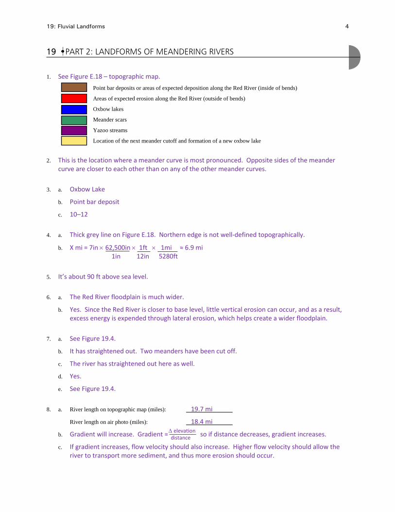
19 PART 2: LANDFORMS OF MEANDERING RIVERS
1. See Figure E.18 – topographic map. Point bar deposits or areas of expected deposition along the Red River (inside of bends)
Areas of expected erosion along the Red River (outside of bends)
Oxbow lakes
Meander scars
Yazoo streams
Location of the next meander cutoff and formation of a new oxbow lake
2. This is the location where a meander curve is most pronounced. Opposite sides of the meander curve are closer to each other than on any of the other meander curves.
3. a. Oxbow Lake
b. Point bar deposit
c. 10–12
4. a. Thick grey line on Figure E.18. Northern edge is not well-defined topographically.
b. X mi = 7in × 62,500in × 1ft × 1mi ≈ 6.9 mi 1in 12in 5280ft
5. It’s about 90 ft above sea level.
6. a. The Red River floodplain is much wider.
b. Yes. Since the Red River is closer to base level, little vertical erosion can occur, and as a result, excess energy is expended through lateral erosion, which helps create a wider floodplain.
7. a. See Figure 19.4.
b. It has straightened out. Two meanders have been cut off.
c. The river has straightened out here as well.
d. Yes.
e. See Figure 19.4.
8. a. River length on topographic map (miles): 19.7 mi
River length on air photo (miles): 18.4 mi
b. Gradient will increase. Gradient = so if distance decreases, gradient increases.
c. If gradient increases, flow velocity should also increase. Higher flow velocity should allow the river to transport more sediment, and thus more erosion should occur.
∆ elevation distance

19: Fluvial Landforms 5
USG
S TO
POG
RAPH
IC M
AP
CAM
PTI,
LOU
ISIA
NA
195
7.
SCA
LE 1
:62,
00
CO
NTO
UR
INTE
RVA
L=20
FEE
T F
IGU
RE E
.18

19: Fluvial Landforms 6
FIGURE 19.4 AIR PHOTO OF CAMPTI, LOUISIANA, 2004 SCALE 1:116,500