8-1 mfirs 8 wildland fire module. 8-2 optional wildland fire module the state fire marshal will...
TRANSCRIPT
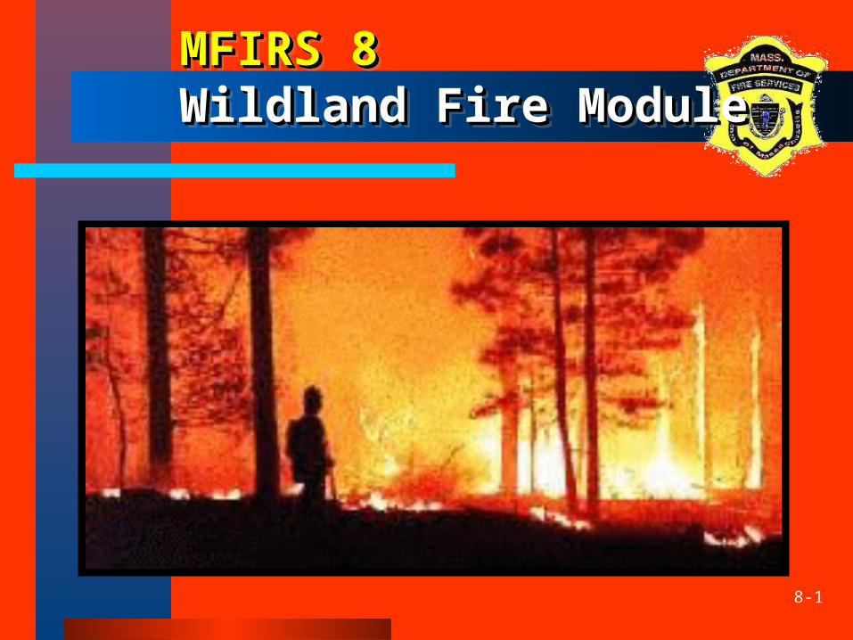
8-1
MFIRS 8MFIRS 8 Wildland Fire ModuleWildland Fire ModuleMFIRS 8MFIRS 8 Wildland Fire ModuleWildland Fire Module
8-2
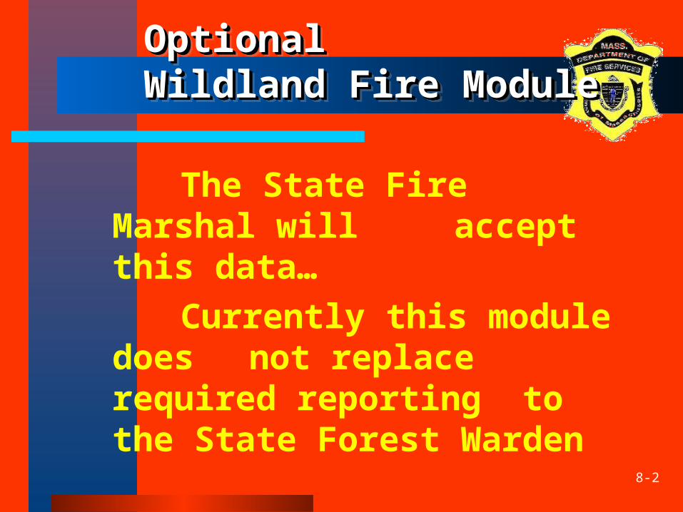
Optional Optional Wildland Fire ModuleWildland Fire ModuleOptional Optional Wildland Fire ModuleWildland Fire Module
The State Fire Marshal will accept this data…
Currently this module does not replace required reporting to the State Forest Warden
8-3
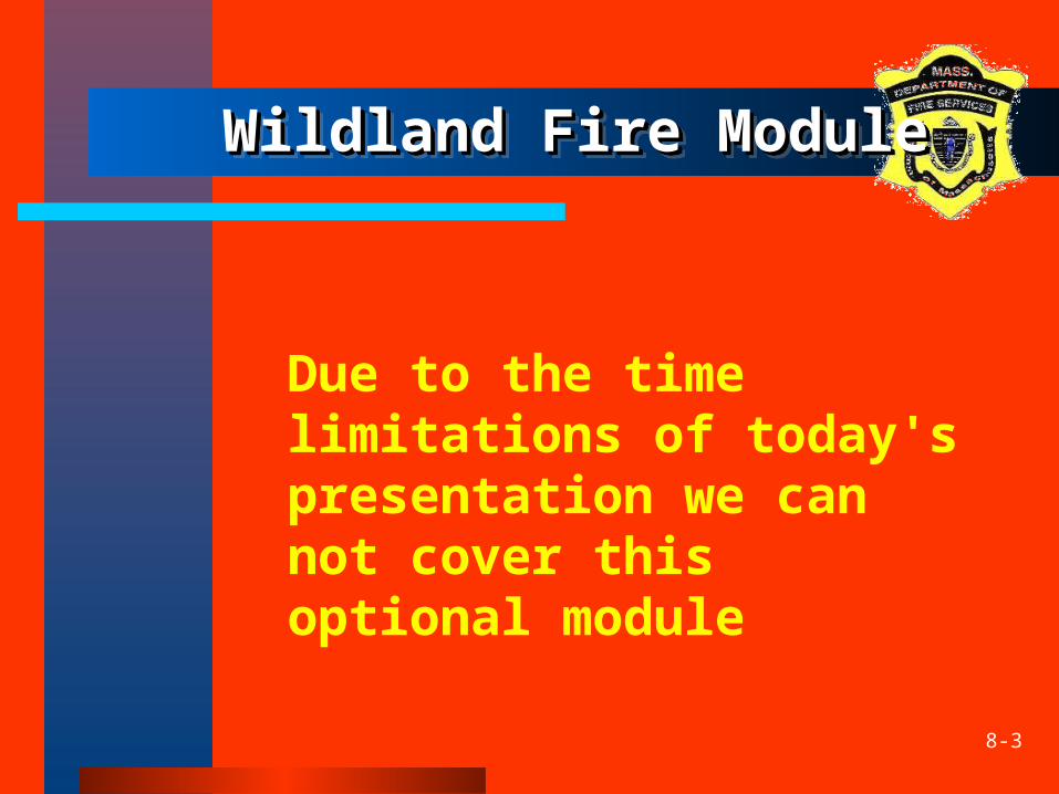
Wildland Fire ModuleWildland Fire ModuleWildland Fire ModuleWildland Fire Module
Due to the time limitations of today's presentation we can not cover this optional module
8-4
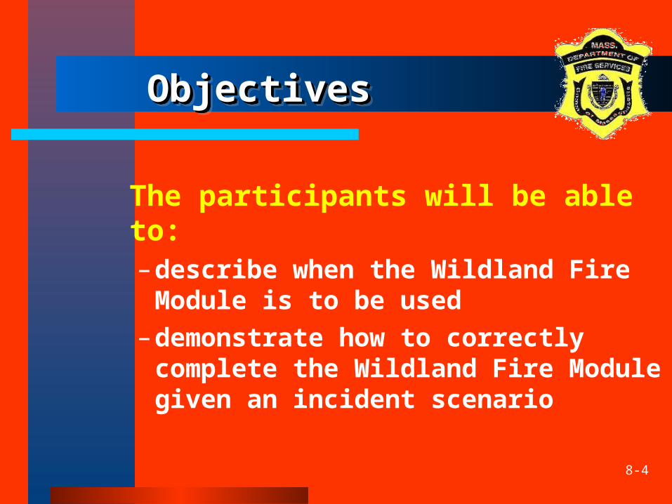
ObjectivesObjectivesObjectivesObjectives
The participants will be able to:–describe when the Wildland Fire
Module is to be used–demonstrate how to correctly
complete the Wildland Fire Module given an incident scenario
8-5
Purpose of Purpose of Wildland Fire Wildland Fire ModuleModule
Purpose of Purpose of Wildland Fire Wildland Fire ModuleModuleThe purpose of the Wildland Fire Module (NFIRS-8) is to document reportable wildland fires:
Any fire involving vegetative fuels that occurs in the wildland or urban-wildland interface areas, including those fires which threaten or consume structures
8-6
Use of Use of Wildland Fire ModuleWildland Fire ModuleUse of Use of Wildland Fire ModuleWildland Fire Module
The Wildland Fire Module is primarily used instead of the Fire Module (NFIRS-2) when Incident Type is:
• Forest, woods, or wildland fire (141)
• Prescribed fire (632)
8-7
Use of Use of Wildland Fire ModuleWildland Fire ModuleUse of Use of Wildland Fire ModuleWildland Fire Module
The Wildland Fire Module may also be used for the following incident types:
vegetation fire, other (140) brush, or brush and grass mixture
fire (142) grass fire (143) cultivated vegetation, crop fire,
other (170)
8-8
Use of Use of Wildland Fire ModuleWildland Fire ModuleUse of Use of Wildland Fire ModuleWildland Fire Module
. . . and for these additional types
cultivated grain, crop fire (171) cultivated orchard or vineyard fire
(172) cultivated trees or nursery stock fire
(173) unauthorized burning (561) controlled burning, authorized (631)
8-9
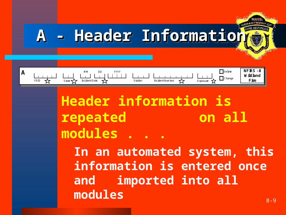
A - Header InformationA - Header InformationA - Header InformationA - Header Information
Header information is repeated on all modules . . . In an automated system, this
information is entered once and imported into all modules
Delete NFIRS - 8Wildland
Fire Change
AStation FDID Exposure Incident Date
MM DD YYYY
State Incident Number

8-10
B - Alternate Location B - Alternate Location SpecificationSpecificationB - Alternate Location B - Alternate Location SpecificationSpecification
Is used in place of Section B of the Basic Module (NFIRS-1) when traditional addressing methods are not suitable
Documents the geographical location of the wildland fire
• Latitude Longitude
Township
North South
East West
Section
OR
Alternate Location Specification BEnterlatitude/longitudeORSection/Township/Range/Subsection/MeridianifSection B ontheBasicModuleisnotcompleted
Range•
Subsection Meridian
•
8-11
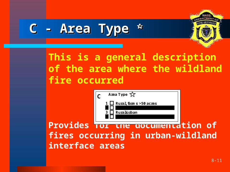
C - Area Type C - Area Type C - Area Type C - Area Type
This is a general description of the area where the wildland fire occurred
Provides for the documentation of fires occurring in urban-wildland interface areas
Area Type CRural, farms >50 acres Urban (heavily populated) Rural/urban Urban-wildland interface area
1234
8-12
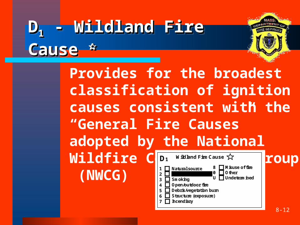
DD11 - Wildland Fire - Wildland Fire Cause Cause
DD11 - Wildland Fire - Wildland Fire Cause Cause
Provides for the broadest classification of ignition causes consistent with the “General Fire Causes” adopted by the National Wildfire Coordinating Group (NWCG)
Wildland Fire Cause D1
Natural source Equipment Smoking Open/outdoor fire Debris/vegetation burn Structure (exposure) Incendiary
Misuse of fire Other Undetermined
1 2 3 4 5 6 7
8 0 U
8-13
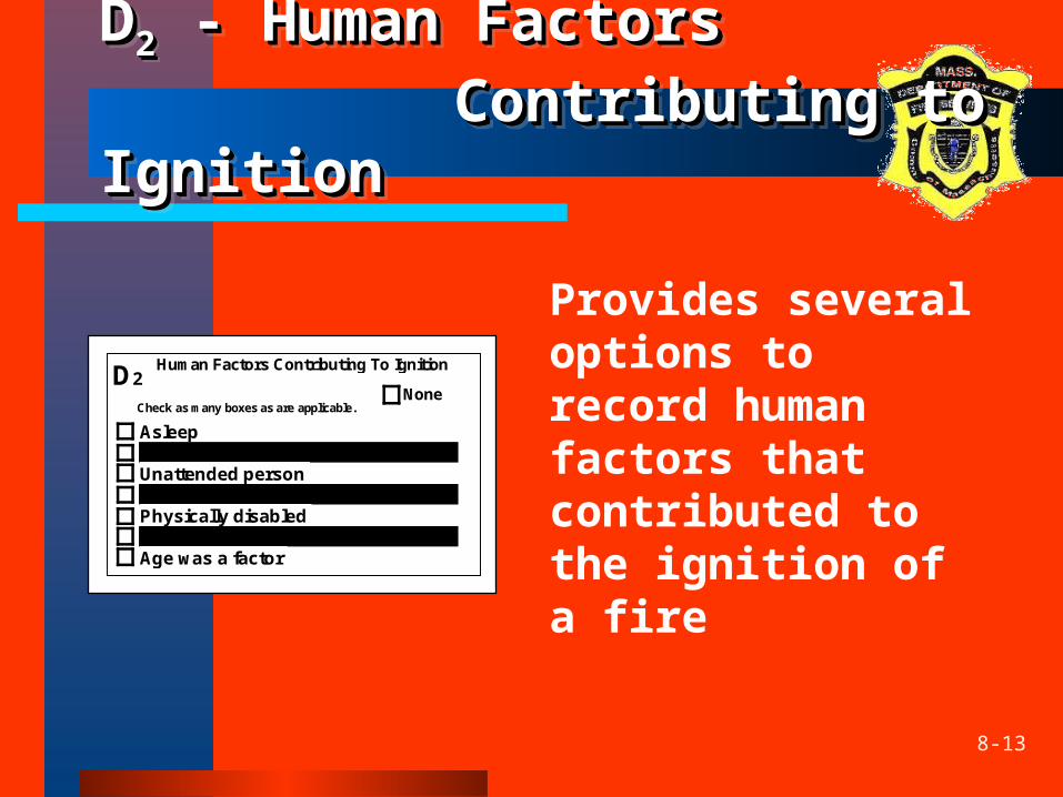
DD22 - Human Factors - Human Factors Contributing to Contributing to
IgnitionIgnition
DD22 - Human Factors - Human Factors Contributing to Contributing to
IgnitionIgnition
Provides several options to record human factors that contributed to the ignition of a fire
Asleep Possible alcohol or drug impairment Unattended person Possibly mentally disabled Physically disabled Multiple persons involved Age was a factor
Human Factors Contributing To Ignition
Check as many boxes as are applicable.
D2None
8-14
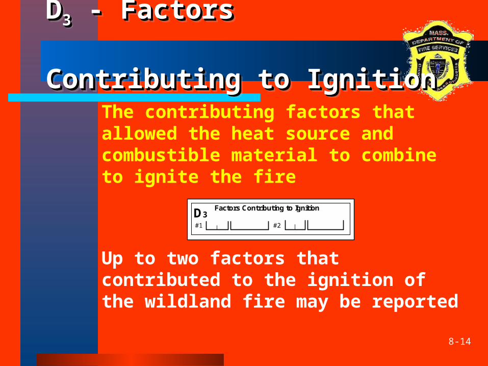
DD33 - Factors - Factors Contributing to Contributing to
IgnitionIgnition
DD33 - Factors - Factors Contributing to Contributing to
IgnitionIgnition The contributing factors that
allowed the heat source and combustible material to combine to ignite the fire
Up to two factors that contributed to the ignition of the wildland fire may be reported
Factors Contributing to Ignition
#1 #2
D3
8-15
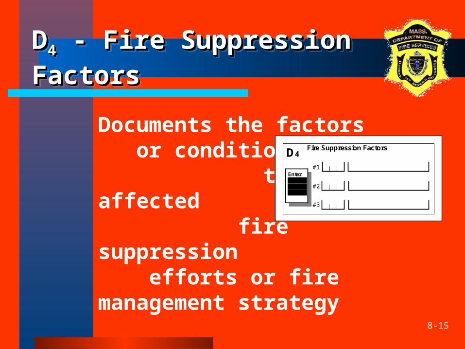
DD44 - Fire Suppression - Fire Suppression FactorsFactorsDD44 - Fire Suppression - Fire Suppression FactorsFactors
Documents the factors or condition that affected fire suppression efforts or fire management strategy
D4Fire Suppression Factors
#1
#2
#3
Enter up to three factors
8-16
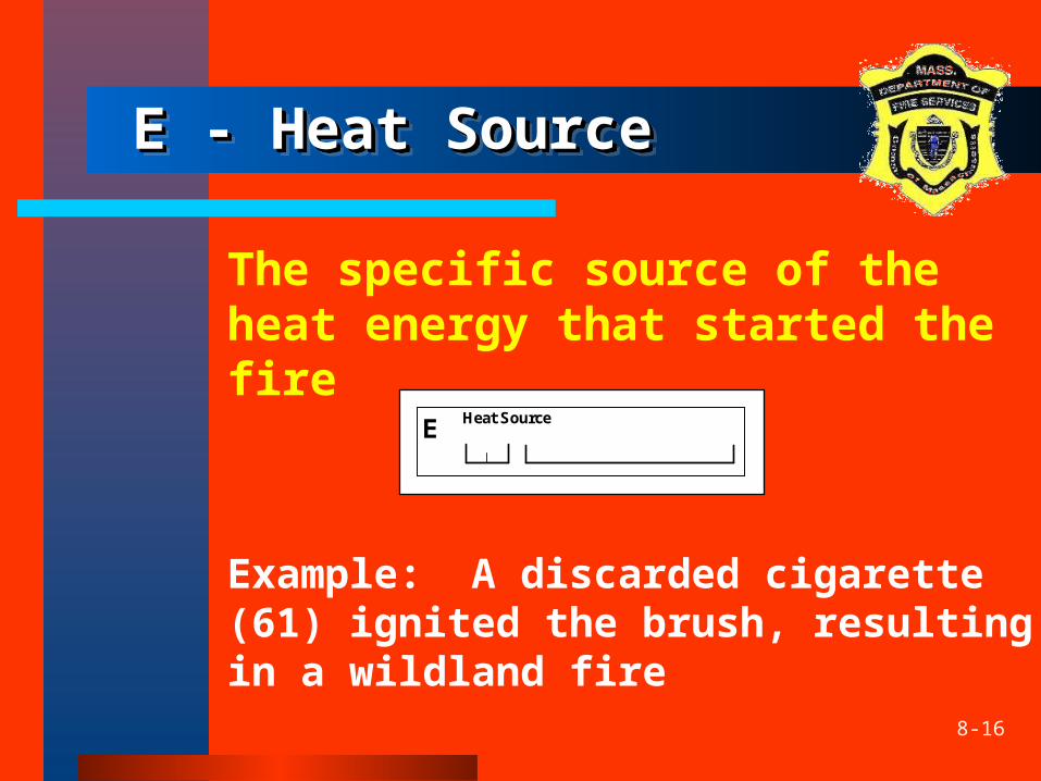
E - Heat SourceE - Heat SourceE - Heat SourceE - Heat Source
The specific source of the heat energy that started the fire
Example: A discarded cigarette (61) ignited the brush, resulting in a wildland fire
Heat Source E
8-17
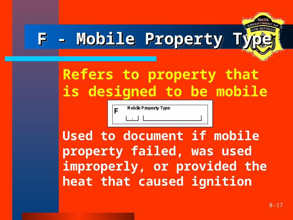
F - Mobile Property TypeF - Mobile Property TypeF - Mobile Property TypeF - Mobile Property Type
Refers to property that is designed to be mobile
Used to document if mobile property failed, was used improperly, or provided the heat that caused ignition
F Mobile Property Type
8-18
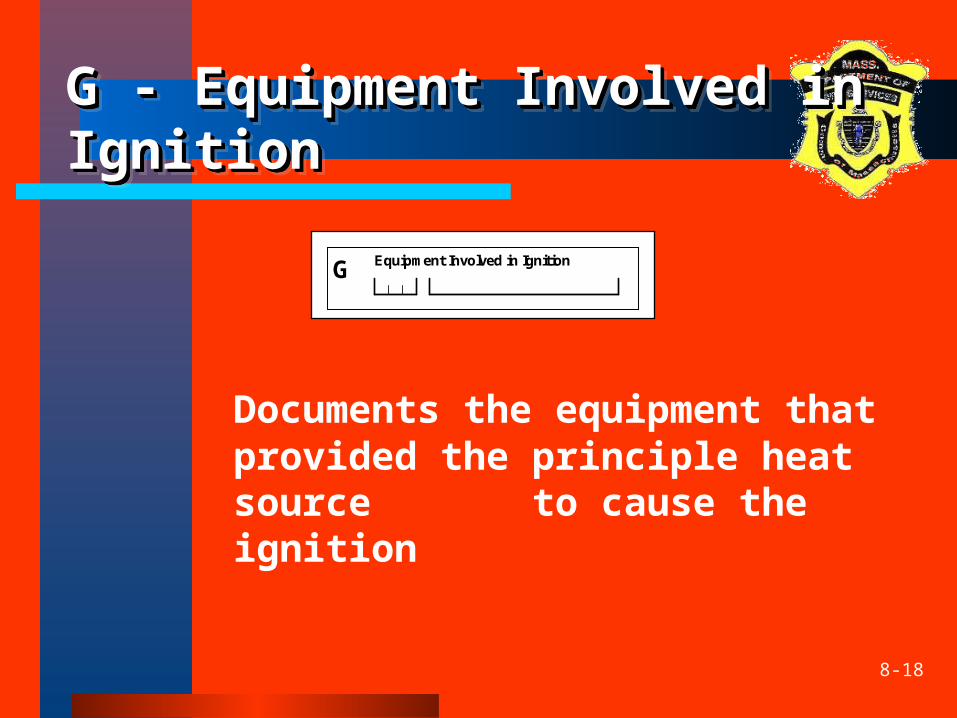
G - Equipment Involved in G - Equipment Involved in IgnitionIgnitionG - Equipment Involved in G - Equipment Involved in IgnitionIgnition
Documents the equipment that provided the principle heat source to cause the ignition
Equipment Involved in Ignition G
8-19
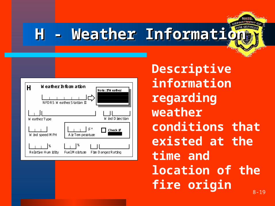
H - Weather InformationH - Weather InformationH - Weather InformationH - Weather Information
Descriptive information regarding weather conditions that existed at the time and location of the fire origin
Weather Information H
F°AirTemperature
RelativeHumidity
%
Check if negative WindspeedMPH
WindDirectionWeatherType
FireDangerRatingFuelMoisture
NFDRSWeatherStationID
Note: If Weather Station ID is entered, the rest of section H is optional.
%
8-20
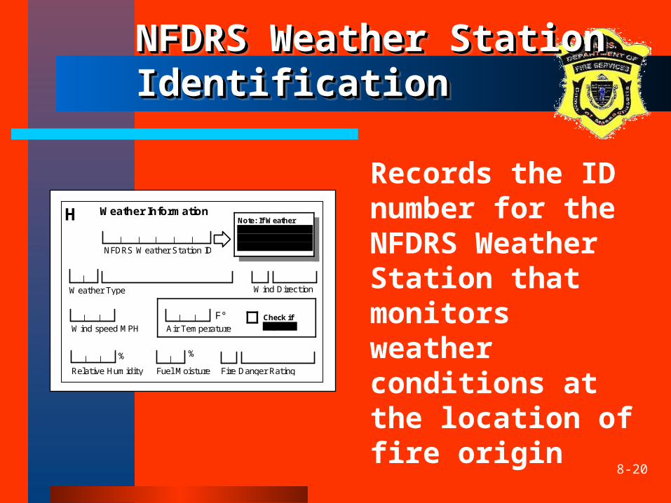
NFDRS Weather Station NFDRS Weather Station IdentificationIdentificationNFDRS Weather Station NFDRS Weather Station IdentificationIdentification
Records the ID number for the NFDRS Weather Station that monitors weather conditions at the location of fire origin
Weather Information H
F°AirTemperature
RelativeHumidity
%
Check if negative WindspeedMPH
WindDirectionWeatherType
FireDangerRatingFuelMoisture
NFDRSWeatherStationID
Note: If Weather Station ID is entered, the rest of section H is optional.
%
8-21
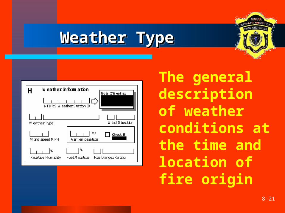
Weather TypeWeather TypeWeather TypeWeather Type
The general description of weather conditions at the time and location of fire origin
Weather Information H
F°AirTemperature
RelativeHumidity
%
Check if negative WindspeedMPH
WindDirectionWeatherType
FireDangerRatingFuelMoisture
NFDRSWeatherStationID
Note: If Weather Station ID is entered, the rest of section H is optional.
%
8-22
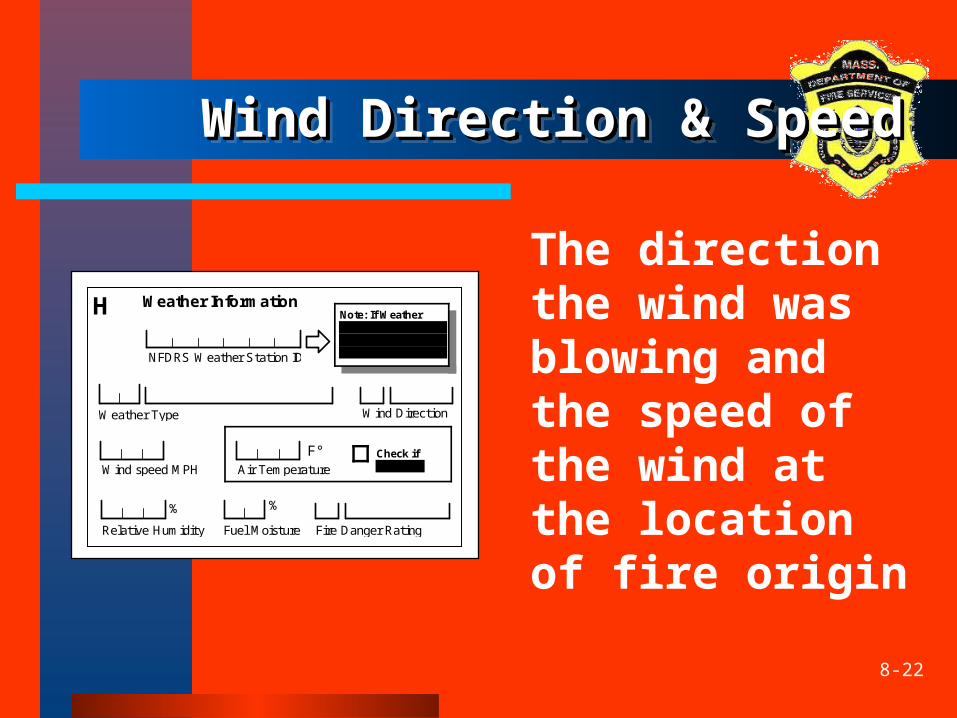
Wind Direction & SpeedWind Direction & SpeedWind Direction & SpeedWind Direction & Speed
The direction the wind was blowing and the speed of the wind at the location of fire origin
Weather Information H
F°AirTemperature
RelativeHumidity
%
Check if negative WindspeedMPH
WindDirectionWeatherType
FireDangerRatingFuelMoisture
NFDRSWeatherStationID
Note: If Weather Station ID is entered, the rest of section H is optional.
%
8-23
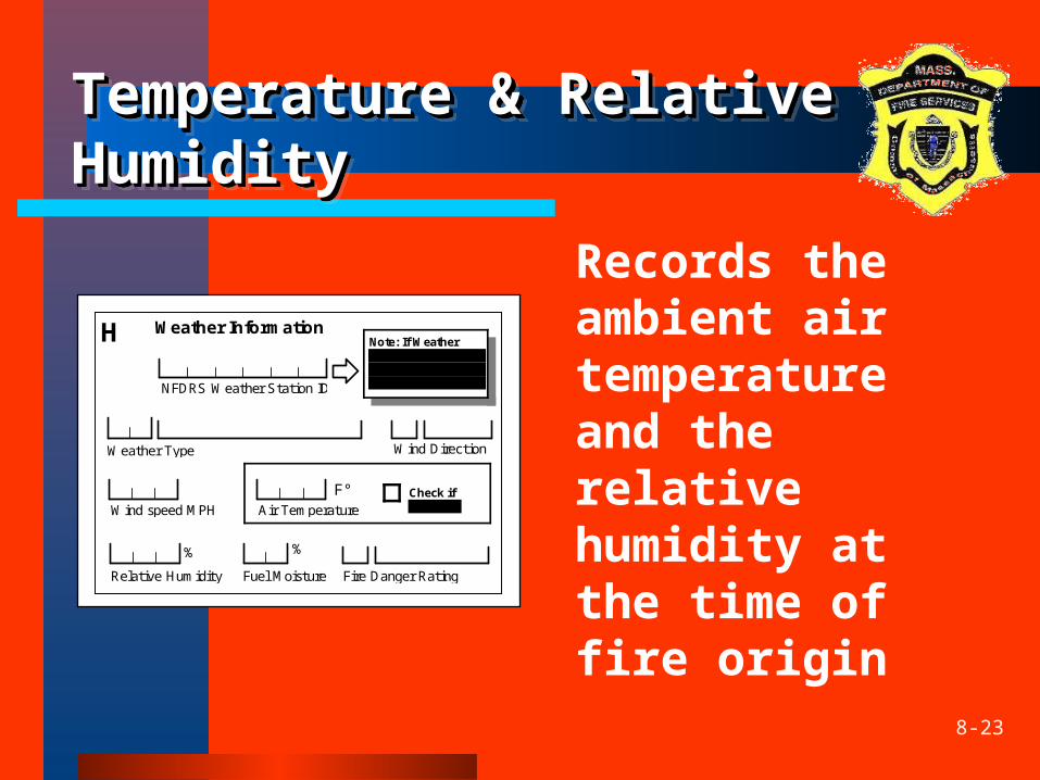
Temperature & Relative Temperature & Relative HumidityHumidityTemperature & Relative Temperature & Relative HumidityHumidity
Records the ambient air temperature and the relative humidity at the time of fire origin
Weather Information H
F°AirTemperature
RelativeHumidity
%
Check if negative WindspeedMPH
WindDirectionWeatherType
FireDangerRatingFuelMoisture
NFDRSWeatherStationID
Note: If Weather Station ID is entered, the rest of section H is optional.
%
8-24
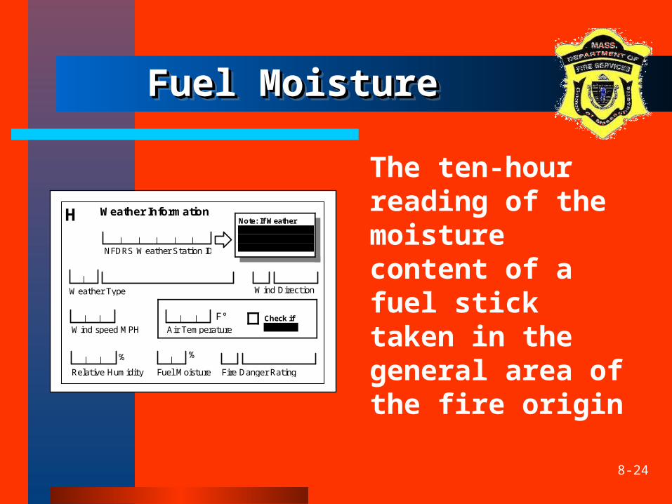
Fuel MoistureFuel MoistureFuel MoistureFuel Moisture
The ten-hour reading of the moisture content of a fuel stick taken in the general area of the fire origin
Weather Information H
F°AirTemperature
RelativeHumidity
%
Check if negative WindspeedMPH
WindDirectionWeatherType
FireDangerRatingFuelMoisture
NFDRSWeatherStationID
Note: If Weather Station ID is entered, the rest of section H is optional.
%
8-25
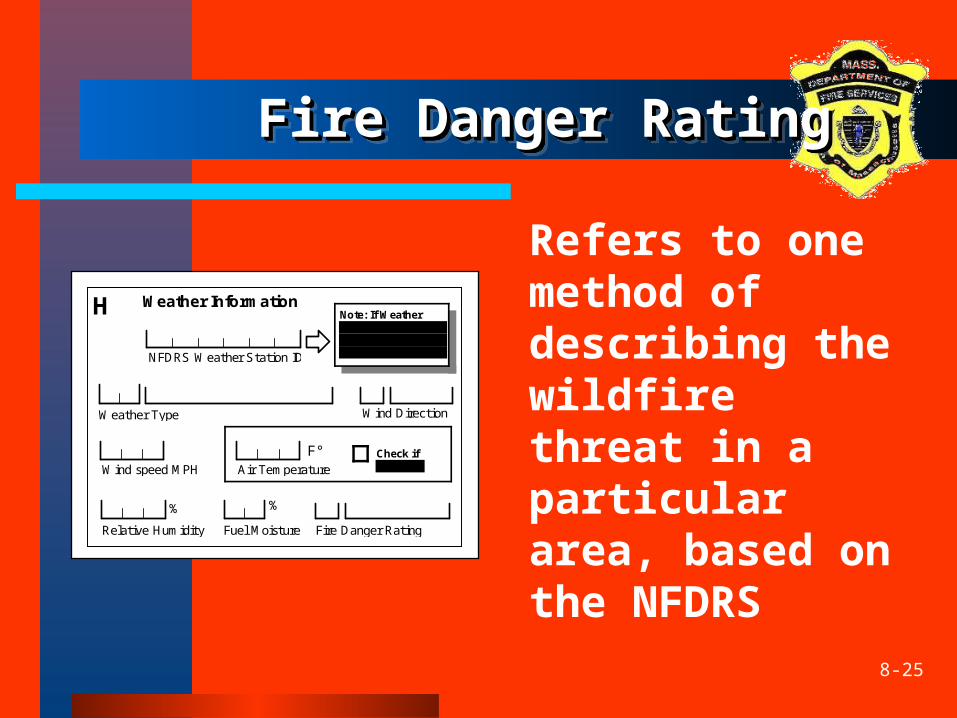
Fire Danger RatingFire Danger Rating Fire Danger RatingFire Danger Rating
Refers to one method of describing the wildfire threat in a particular area, based on the NFDRS
Weather Information H
F°AirTemperature
RelativeHumidity
%
Check if negative WindspeedMPH
WindDirectionWeatherType
FireDangerRatingFuelMoisture
NFDRSWeatherStationID
Note: If Weather Station ID is entered, the rest of section H is optional.
%
8-26
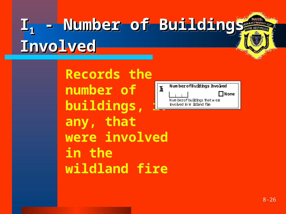
II11 - Number of Buildings - Number of Buildings InvolvedInvolvedII11 - Number of Buildings - Number of Buildings InvolvedInvolved
Records the number of buildings, if any, that were involved in the wildland fire
I1NumberofbuildingsthatwereinvolvedinWildlandfire
None
Number of Buildings Involved
8-27
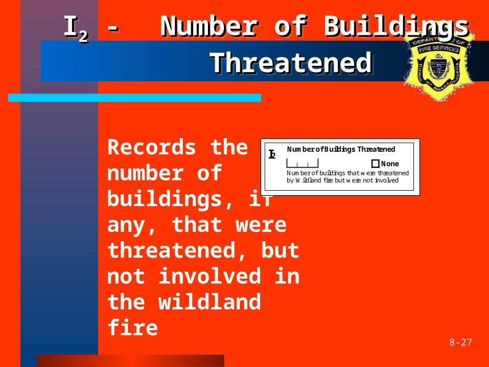
II22 - - Number of Buildings Number of Buildings ThreatenedThreatened
II22 - - Number of Buildings Number of Buildings ThreatenedThreatened
Records the number of buildings, if any, that were threatened, but not involved in the wildland fire
I2NumberofbuildingsthatwerethreatenedbyWildlandfirebutwerenotinvolved
None
Number of Buildings Threatened
8-28
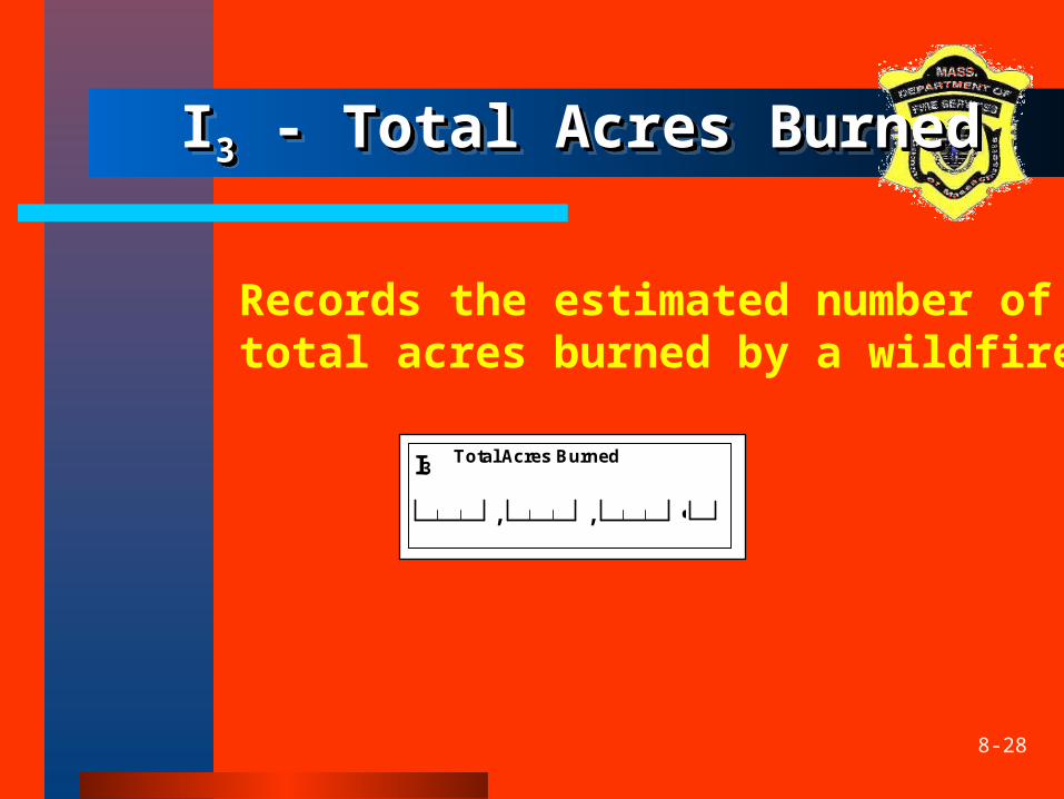
II33 - Total Acres Burned - Total Acres Burned II33 - Total Acres Burned - Total Acres Burned
Records the estimated number of total acres burned by a wildfire
,
I3
,
Total Acres Burned
•
8-29
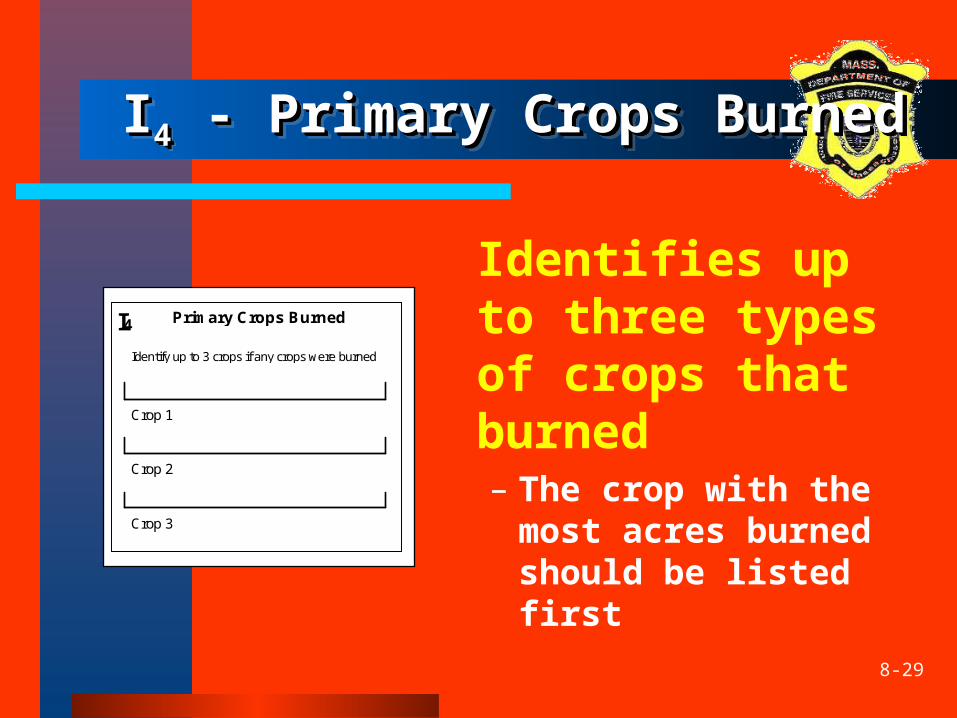
II44 - Primary Crops Burned - Primary Crops BurnedII44 - Primary Crops Burned - Primary Crops Burned
Identifies up to three types of crops that burned– The crop with the
most acres burned should be listed first
Identify up to 3 crops if any crops were burned
Primary Crops Burned I4
Crop 1
Crop 2
Crop 3
8-30
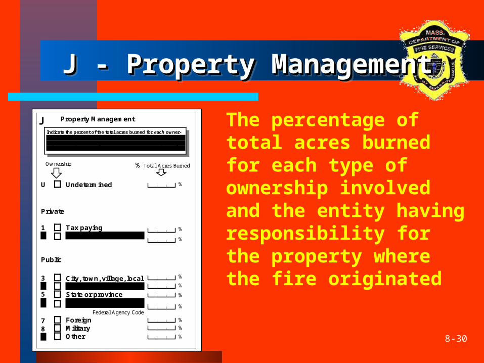
J - Property ManagementJ - Property ManagementJ - Property ManagementJ - Property Management
The percentage of total acres burned for each type of ownership involved and the entity having responsibility for the property where the fire originated
Tax paying Non tax paying
City, town, village, local County or parish State or province
Federal FederalAgencyCode
Foreign Military Other
Private
Public
Property Management
1 2
345
6
780
Undetermined U %
%
%
%
%
%
%
%
%
%
%TotalAcresBurnedOwnership
Indicate the percent of the total acres burned for each owner-ship type then check the appropriate box to identify the prop-erty ownership at the origin of the fire. If the ownership at origin is Federal, enter the Federal Agency Code.
J
8-31
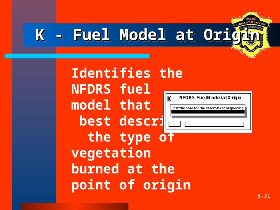
K - Fuel Model at OriginK - Fuel Model at OriginK - Fuel Model at OriginK - Fuel Model at Origin
Identifies the NFDRS fuel model that best describes the type of vegetation burned at the point of origin
NFDRS Fuel Model at Origin KEnter the code and the descriptor corresponding to the NFDRS Fuel Model at Origin
8-32
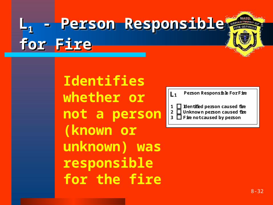
LL11 - Person Responsible for - Person Responsible for FireFireLL11 - Person Responsible for - Person Responsible for FireFire
Identifies whether or not a person (known or unknown) was responsible for the fire
Person Responsible For FireL1
Identified person caused fire Unknown person caused fire Fire not caused by person
123
8-33
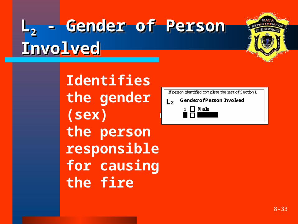
LL22 - Gender of Person - Gender of Person InvolvedInvolvedLL22 - Gender of Person - Gender of Person InvolvedInvolved
Identifies the gender (sex) of the person responsible for causing the fire
IfpersonidentifiedcompletetherestofSectionL
Male Female
Gender of Person Involved L21 2
8-34
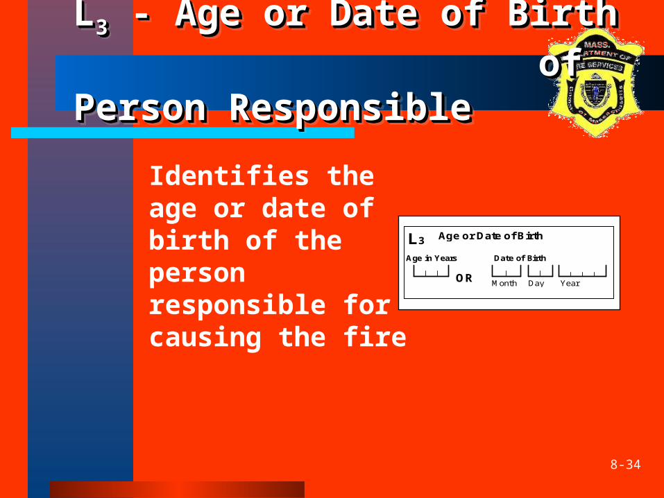
LL33 - Age or Date of Birth - Age or Date of Birth of Person of Person ResponsibleResponsible
LL33 - Age or Date of Birth - Age or Date of Birth of Person of Person ResponsibleResponsible
Identifies the age or date of birth of the person responsible for causing the fire
Day Year
Age in Years
OR
Date of Birth
Age or Date of Birth L3
Month
8-35
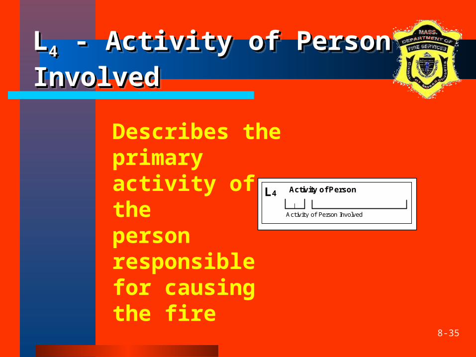
LL44 - Activity of Person - Activity of Person InvolvedInvolvedLL44 - Activity of Person - Activity of Person InvolvedInvolved
Describes the primary activity of the person responsible for causing the fire
Activity of Person L4
ActivityofPersonInvolved
8-36
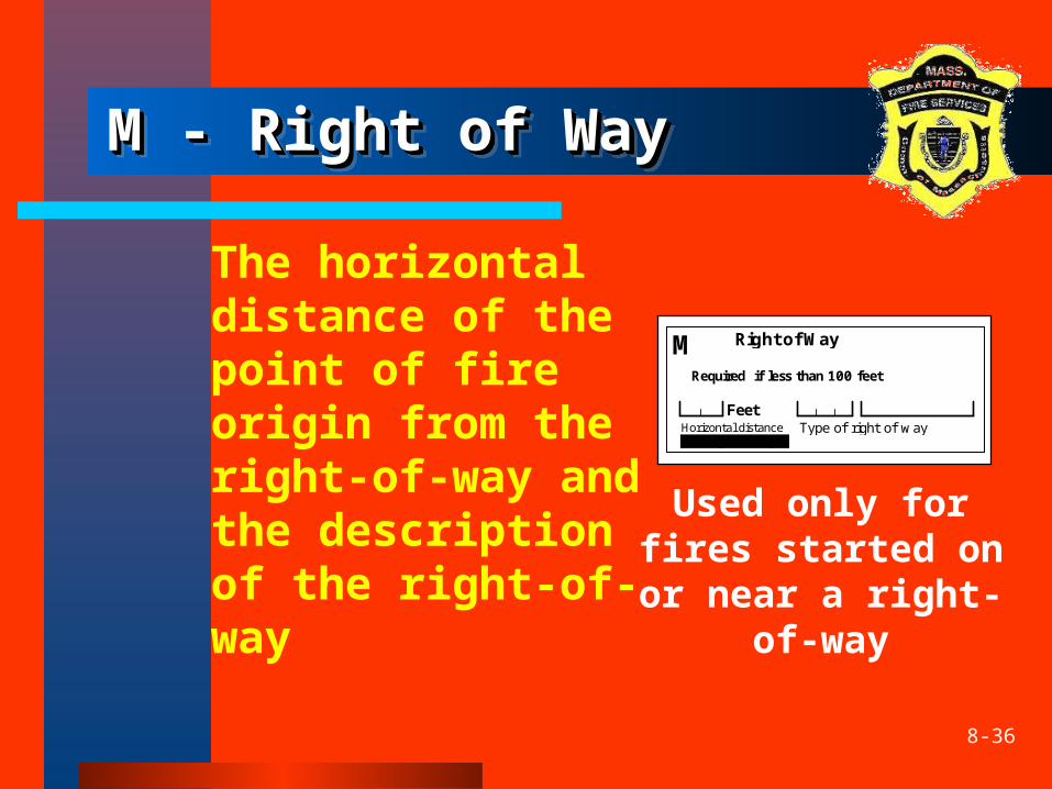
M - Right of WayM - Right of WayM - Right of WayM - Right of Way
The horizontal distance of the point of fire origin from the right-of-way and the description of the right-of-way
Right of Way
Required if less than 100 feet
Feet
M
Horizontaldistancefromrightofway
Typeofrightofway
Used only for fires started on or near a right-
of-way
8-37
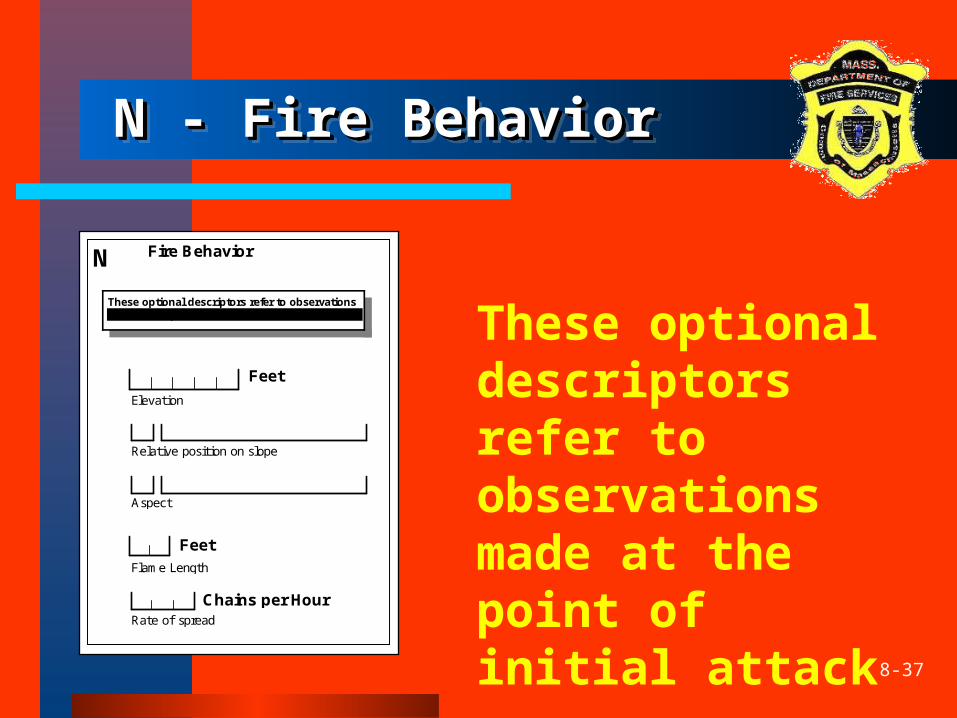
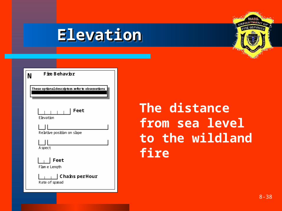
N - Fire BehaviorN - Fire BehaviorN - Fire BehaviorN - Fire Behavior
These optional descriptors refer to observations made at the point of initial attack
N Fire Behavior
These optional descriptors refer to observations made at the point of initial attack
Elevation
Feet
Relativepositiononslope
Aspect
FlameLength
Feet
Rateofspread
Chains per Hour
8-38
ElevationElevationElevationElevation
The distance from sea level to the wildland fire
N Fire Behavior
These optional descriptors refer to observations made at the point of initial attack
Elevation
Feet
Relativepositiononslope
Aspect
FlameLength
Feet
Rateofspread
Chains per Hour

8-39
Position on SlopePosition on SlopePosition on SlopePosition on Slope
This observation indicates the relative position of the fire on a slope at the time of initial attack
N Fire Behavior
These optional descriptors refer to observations made at the point of initial attack
Elevation
Feet
Relativepositiononslope
Aspect
FlameLength
Feet
Rateofspread
Chains per Hour
8-40
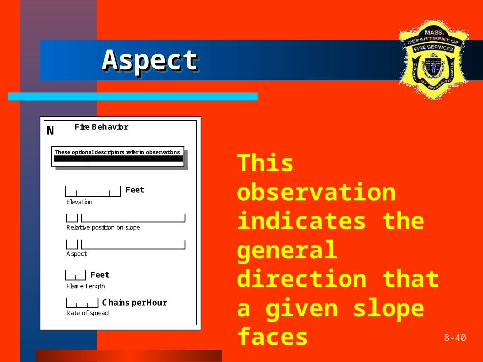
AspectAspectAspectAspect
This observation indicates the general direction that a given slope faces
N Fire Behavior
These optional descriptors refer to observations made at the point of initial attack
Elevation
Feet
Relativepositiononslope
Aspect
FlameLength
Feet
Rateofspread
Chains per Hour
8-41
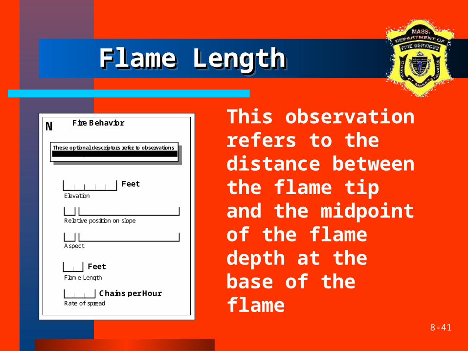
Flame LengthFlame LengthFlame LengthFlame Length
This observation refers to the distance between the flame tip and the midpoint of the flame depth at the base of the flame
N Fire Behavior
These optional descriptors refer to observations made at the point of initial attack
Elevation
Feet
Relativepositiononslope
Aspect
FlameLength
Feet
Rateofspread
Chains per Hour
8-42
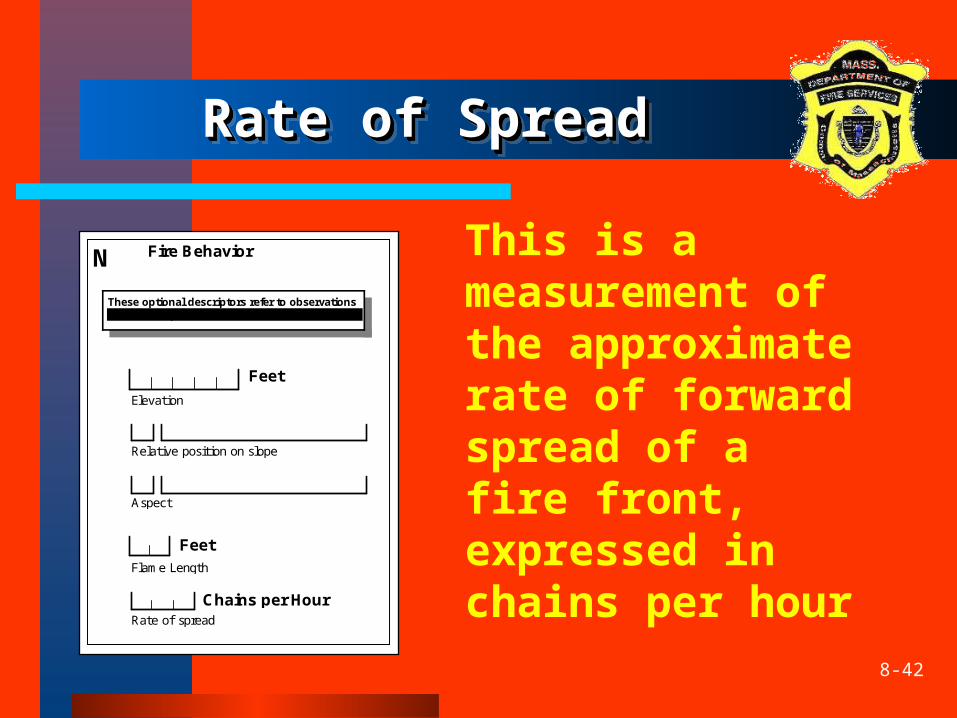
Rate of SpreadRate of SpreadRate of SpreadRate of Spread
This is a measurement of the approximate rate of forward spread of a fire front, expressed in chains per hour
N Fire Behavior
These optional descriptors refer to observations made at the point of initial attack
Elevation
Feet
Relativepositiononslope
Aspect
FlameLength
Feet
Rateofspread
Chains per Hour

8-43
Activity 8.1Activity 8.1Activity 8.1Activity 8.1
8-44
SummarySummarySummarySummary
The “optional” Wildland Fire Module (NFIRS-8) is to document reportable wildland fires– Any fire involving vegetative fuels that occurs in
the wildland or urban-wildland interface areas– includes those fires which threaten or consume
structures
The Wildland Fire Module permits wildland fires to be profiled in depth for resource allocation, incident management, and fire impact analysis

8-45
Questions?Questions?Questions?Questions?