advanced data interoperability: lidar, 3d, and bim bruce harold & dale lutz
TRANSCRIPT

Advanced Data Interoperability:LiDAR, 3D, and BIM
Bruce Harold & Dale Lutz
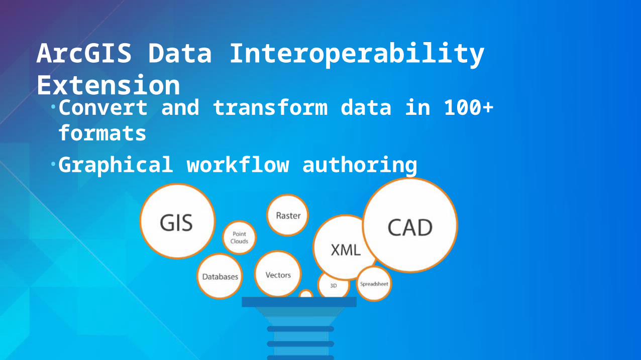
ArcGIS Data Interoperability Extension
• Convert and transform data in 100+ formats• Graphical workflow authoring
LiDAROverview of point cloud scenarios
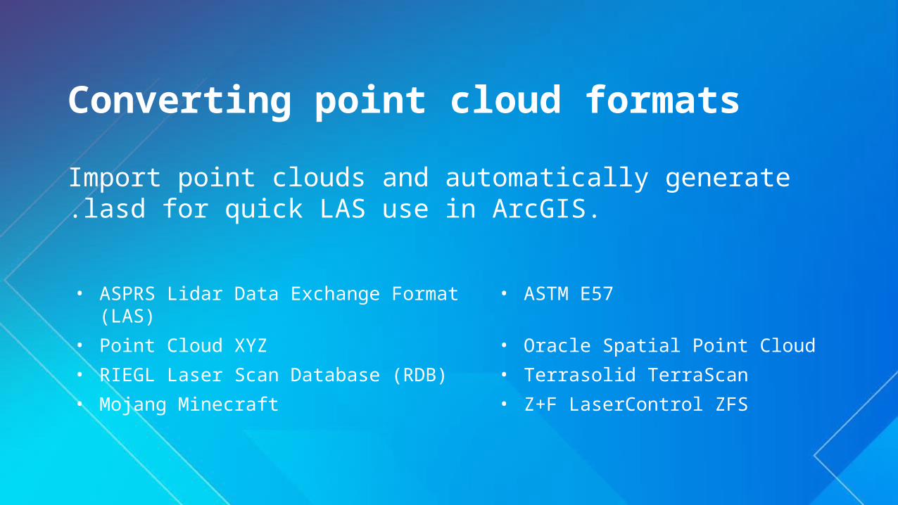
Converting point cloud formats
Import point clouds and automatically generate .lasd for quick LAS use in ArcGIS.
• ASPRS Lidar Data Exchange Format (LAS) • ASTM E57
• Point Cloud XYZ • Oracle Spatial Point Cloud
• RIEGL Laser Scan Database (RDB) • Terrasolid TerraScan
• Mojang Minecraft • Z+F LaserControl ZFS
Convert TerraScan directory to LAS
Demo
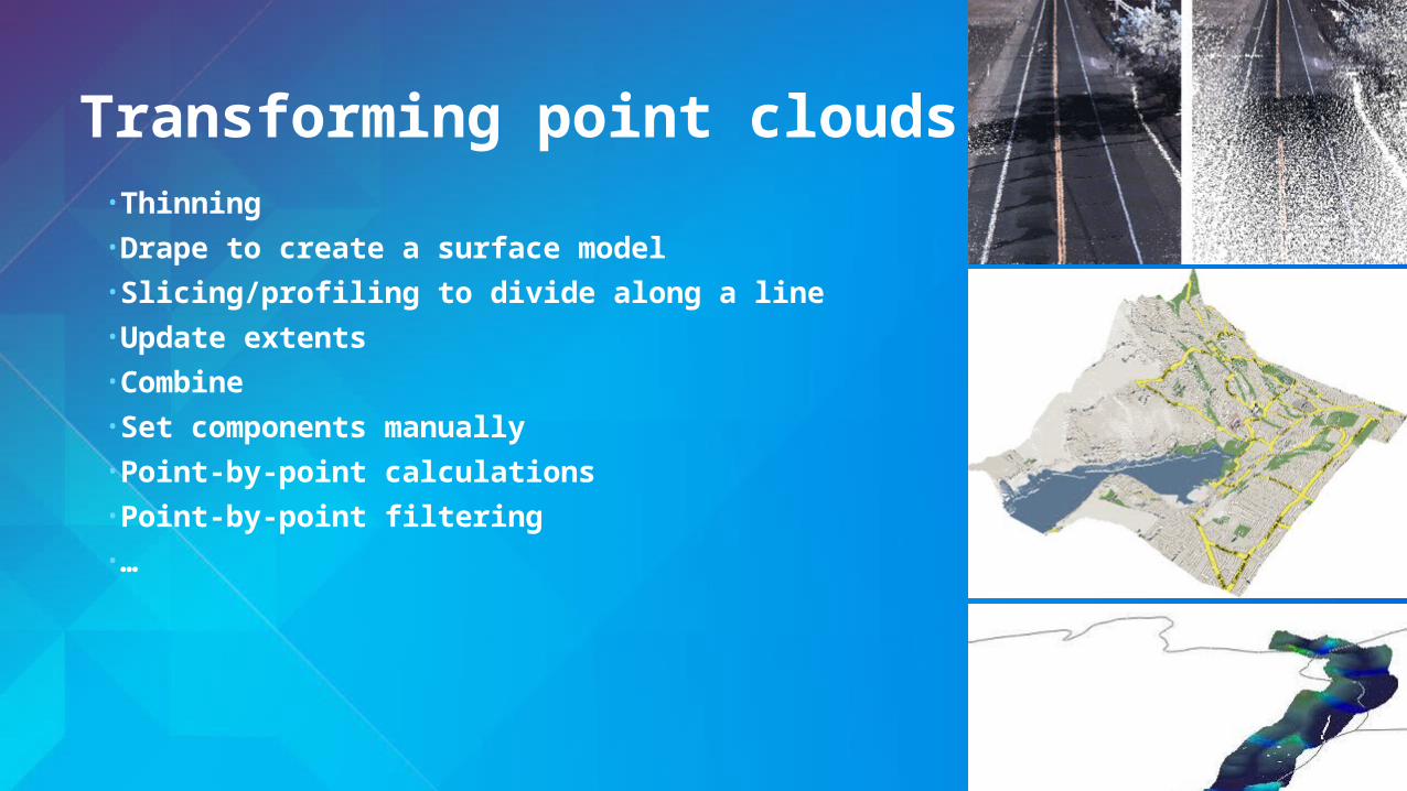
Transforming point clouds
• Thinning• Drape to create a surface model• Slicing/profiling to divide along a line• Update extents• Combine• Set components manually• Point-by-point calculations• Point-by-point filtering• …

• Change a point cloud’s coordinate system• Support for geocentric coordinates and orthometric heights
Reprojection
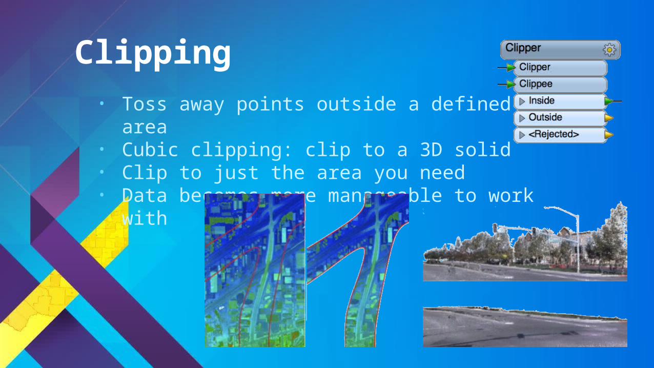
• Toss away points outside a defined area• Cubic clipping: clip to a 3D solid• Clip to just the area you need• Data becomes more manageable to work with
Clipping
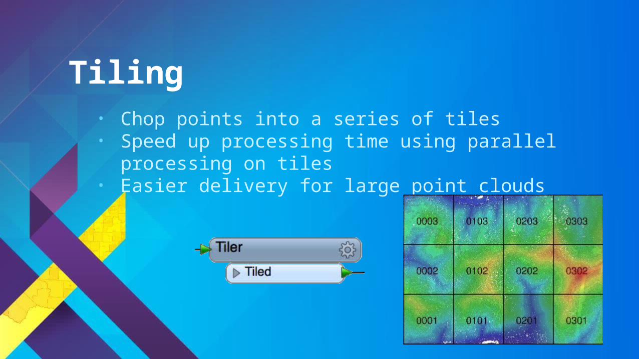
• Chop points into a series of tiles• Speed up processing time using parallel processing on tiles• Easier delivery for large point clouds
Tiling
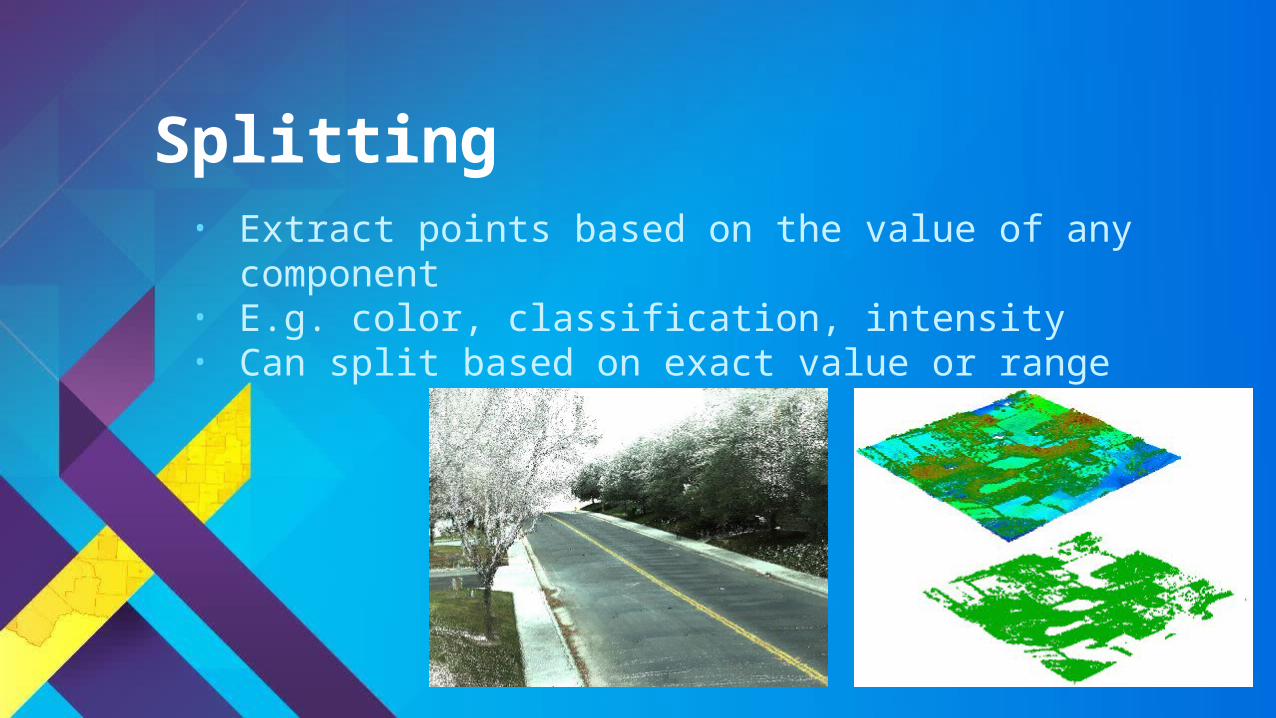
• Extract points based on the value of any component• E.g. color, classification, intensity• Can split based on exact value or range
Splitting
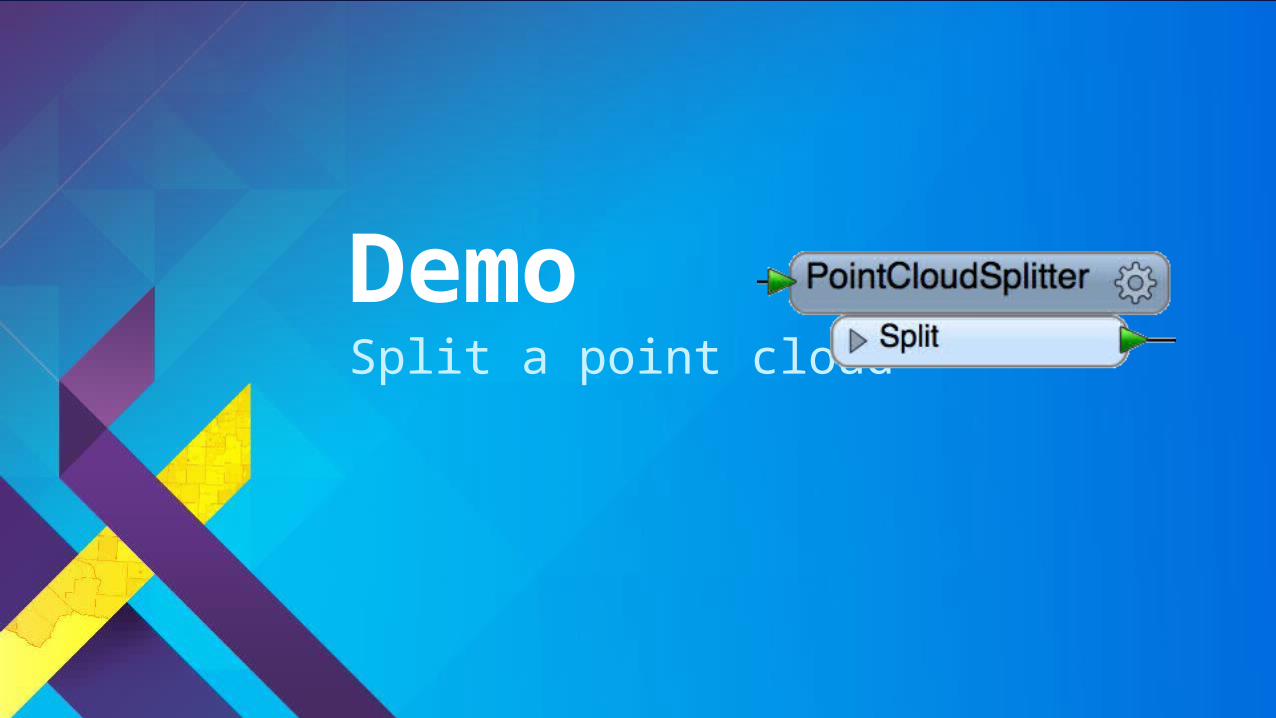
Split a point cloud
Demo
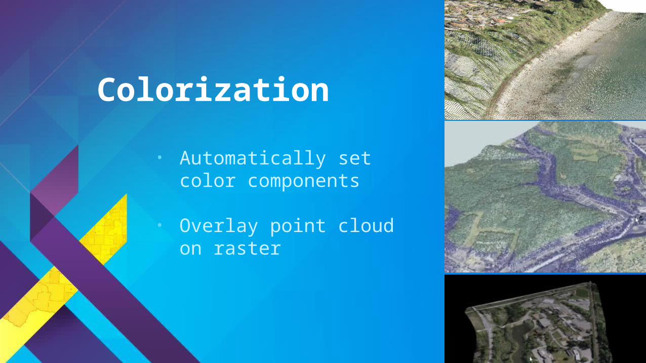
• Automatically set color components
• Overlay point cloud on raster
Colorization

Colorize point cloud with orthophoto
Demo

3D GISWorking with 3D data

Working with 3D data
• Converting 2D building outlines to 3D- FeatureMerger joins outlines with tabular data
containing building heights- Extruder adds 3rd dimension to create 3D solids- 3DForcer to set base heights for 3D
• TINGenerator creates TIN from a point cloud
• AppearanceSetter defines details of 3D surface
• Convert Shapefile to Sketchup• Create surface model TIN using
height information from a point cloud
Demo
BIM and GISWorking with BIM data
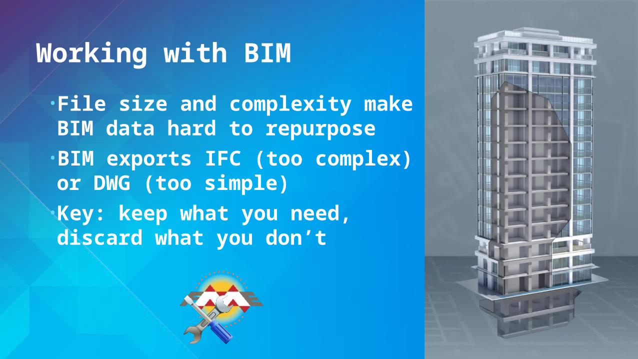
Working with BIM
• File size and complexity make BIM data hard to repurpose
• BIM exports IFC (too complex) or DWG (too simple)
• Key: keep what you need, discard what you don’t

BIM to GIS: Mount Vernon
• George Washington’s home laser scanned to create high quality BIM in Revit
• Data Interoperability extension used to convert BIM to GIS- Export Revit data (plus added georeferencing) with FME
Revit Exporter- Import to ArcGIS with Data Interoperability extension- Reconnect attribution
• Browser delivery – easy sharing
• Rich detail of BIM with spatial context of GIS

BIM to GIS Scenarios
• Translate Revit floorplan to Geodatabase
• Extract/use BIM georeferencing
• Complete control over IFC hierarchies
• Reduce BIM data volumes
• Update BIM from Excel tables
• Webinar: GIS and BIM Interoperability -fme.ly/gisbim

MinecraftExporting to
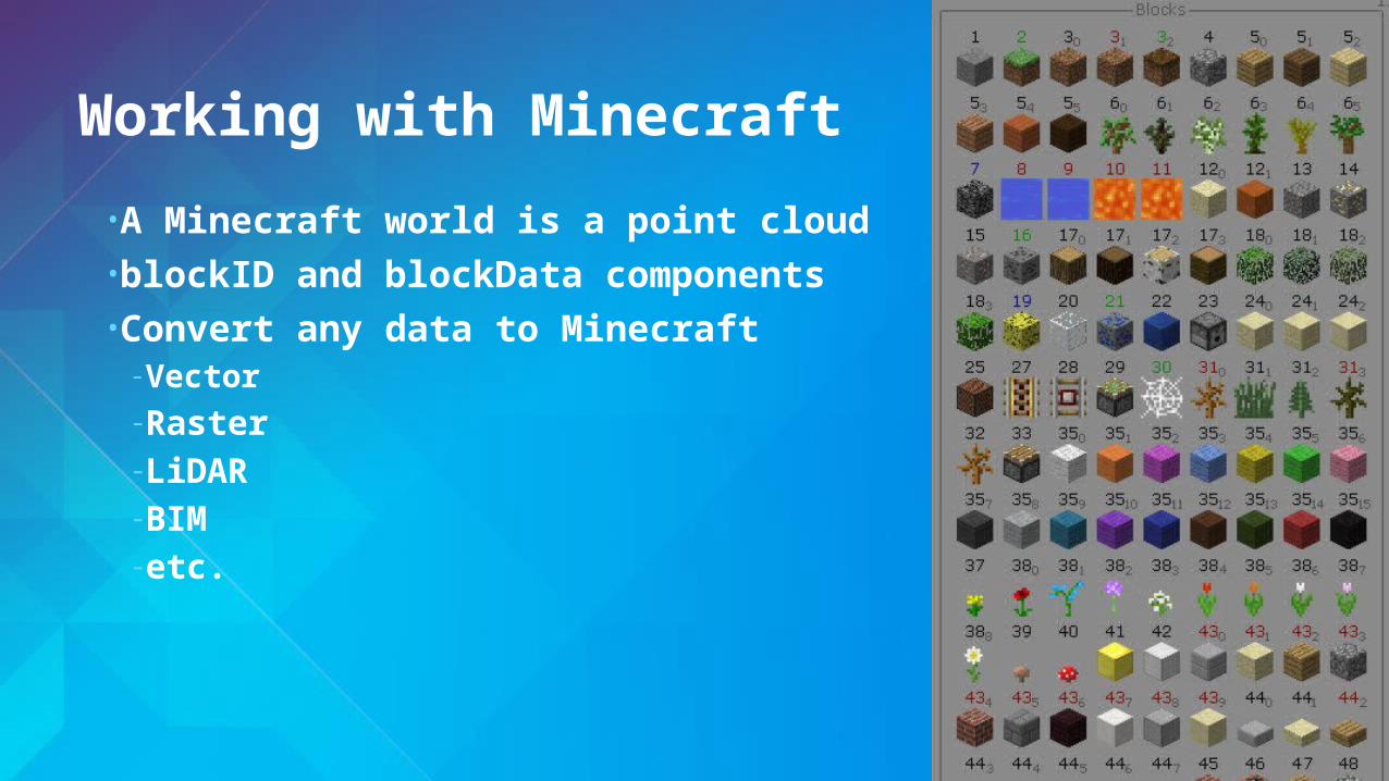
Working with Minecraft
• A Minecraft world is a point cloud• blockID and blockData components• Convert any data to Minecraft- Vector-Raster-LiDAR-BIM- etc.

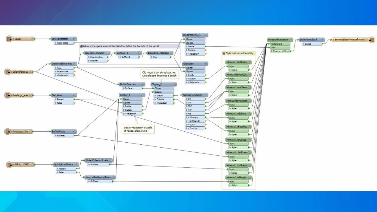
Bowen Island: GIS + DEM to Minecraft
Example
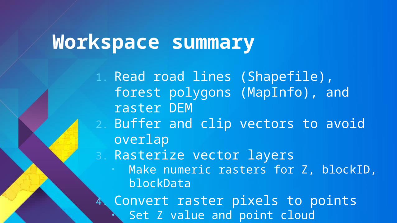
1. Read road lines (Shapefile), forest polygons (MapInfo), and raster DEM
2. Buffer and clip vectors to avoid overlap3. Rasterize vector layers
• Make numeric rasters for Z, blockID, blockData
4. Convert raster pixels to points• Set Z value and point cloud components
Workspace summary


Minecraft and the real world
• Hypothetical scenarios- Lava flow- Forest fires- Rising sea levels
• Geodesign- Sweden used Minecraft for public urban planning
• Fun: fme.ly/MazeGenerator

Resources
• Download a trial at esri.com/datainteroperability
• Esri Virtual Campus – search “Spatial ETL” on training.esri.com- Transforming Data Using Extract, Transform, and Load Processes- Controlling Data Translations Using Extract, Transform, and Load
Processes
• Webinar: GIS and BIM Interoperability - fme.ly/gisbim
• Webinar: LiDAR and ArcGIS - fme.ly/interoplidar
• Tutorial: How to make Minecraft worlds in FME - fme.ly/minecraft

Thank you…
• Please fill out the session survey in your mobile app
• Select Data Interoperability Extension: Advanced Use- Use the Search Feature to quickly find this title
• Click “Technical Workshop Survey”
• Answer a few short questions and enter any comments
