air masses and weather fronts pg. 434-441. cyclones and tornadoes misconception: a cyclone is...
TRANSCRIPT
Air Masses and Weather Fronts
Pg. 434-441

Cyclones and Tornadoes
Misconception: A cyclone is another name for tornado.
Fact: Both Cyclones and tornadoes are spinning storm systems. Both rotate around an area of low pressure. However, tornadoes cover a much smaller area than cyclones do. And tornado winds reach much higher speeds.
Evidence: Outside the tropics, cyclones can be 1,000 to 4,000 kilometers across. Tropical cyclones, which are powerful hurricanes, are smaller, ranging from 100 to 1,000 kilometers across. But tornadoes are smaller still. Tornadoes range in size from a few meters to 1,600 meters across. Tornado winds are the fastest known winds on Earth. They can reach speeds of 480 km/h, but are usually much slower. Cyclone winds are strong, but do not move as fast as the fastest tornado winds. Tropical cyclone winds rarely reach more than 320 km/h.

Answer the following questions
1. Which kind of storm do you think would cause damage over a larger area, a cyclone or a tornado? Why?
2. Have you ever seen water swirl down a drain? How is it related to a tornado?

EQ: How do meteorologists use air masses and weather fronts to predict our weather?
http://www.weatherquestions.com/What_is_an_air_mass.htm

Air Mass
An air mass is a large body of air with similar temperature, pressure, and humidity levels throughout.
Scientist classify air masses according to temperature and humidity.
Air Masses
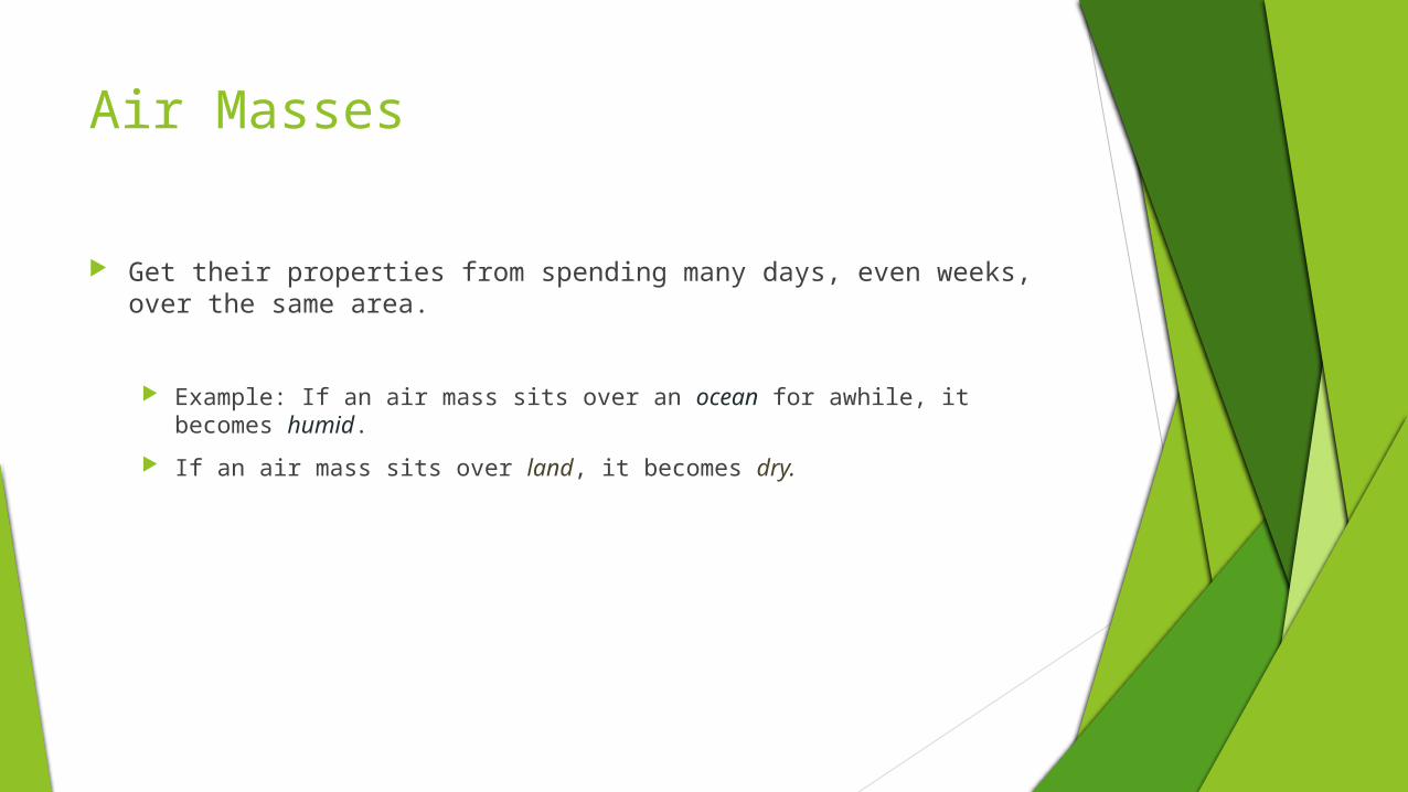
Get their properties from spending many days, even weeks, over the same area.
Example: If an air mass sits over an ocean for awhile, it becomes humid.
If an air mass sits over land, it becomes dry.

There are 4 Types of Air Masses
Four types of air masses
Maritime
Continental
Polar
Tropical
Remember that temperature affects air pressure.
Cold dense air has a higher pressure, while warm, less dense air has a lower pressure.
Cold = more dense and higher pressure Warm= less dense and low pressure
Air Masses
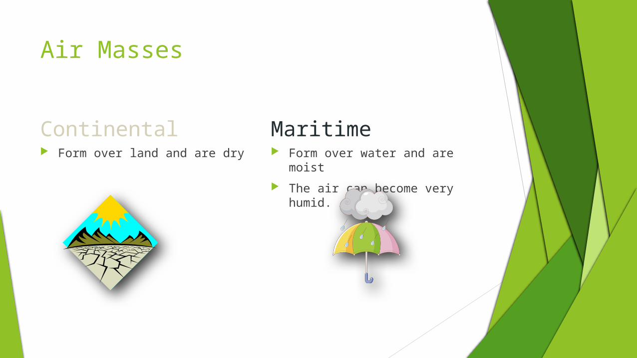
Continental Maritime Form over land and are dry Form over water and are moist
The air can become very humid.

Air Masses
Tropical Form over the tropics (low
latitudes)
Warm/Hot
Low pressure
Polar Form at the polar regions of
Earth (high latitudes)
Cool/Cold
High pressure

Maritime Polar
Cool, humid air masses form over the icy cold North Atlantic Ocean. These air masses are often pushed out to sea by westerly winds.

Continental Polar
Large air masses form over Canada and Alaska and can bring bitterly cold weather with low humidity. Storms may occur when these air masses move south and collide with maritime tropical air masses moving north.

Continental Tropical
Hot, dry air masses form mostly in summer over dry areas of the southwest and northern Mexico. They can bring hot, dry weather to the southern Great Plains.

Maritime Tropical
Warm, humid air masses form over the pacific Ocean. In summer, they usually bring hot, humid weather, summer showers, and thunderstorms. In Winter, they can bring heavy rain or snow.

North American Patterns


Air masses
Why does our weather change?
Air masses move!
How?
Global winds push air masses around the Earth!

How Air Masses Move
When an air mass moves into an area and interacts with another air mass, it causes the weather to change.
Air masses are commonly moved by prevailing westerlies, and jet streams.
Prevailing Westerlies: The prevailing westerlies, the major wind belts over the continental US, generally push air masses from West to East.
Jet Streams: are bands of high-speed winds about 10 kilometers above Earth’s surface. As jet streams generally blow from west to east, air masses are carried along their tracks.

Fronts
As huge masses of air move across the land and the oceans, they collide with each other, but do not easily mix.
The boundary where the air masses meet becomes a front.
Colliding air masses can form four types of fronts: cold fronts, warm fronts, stationary fronts, and occluded fronts.

Fronts A front is a place where two different air
masses meet Four main types A “battle” between air masses
Continental Polar
Maritime Tropical
FRONT

Cold Fronts

Cold Front
Moves quickly and can produce thunderstorms
After it moves through, skies will be clear and temperatures will be cooler

Warm Front

Warm Front
Moves slower than cold fronts
Brings humid weather and sometimes rains for days
After it moves through, temperatures are warmer

Stationary Front
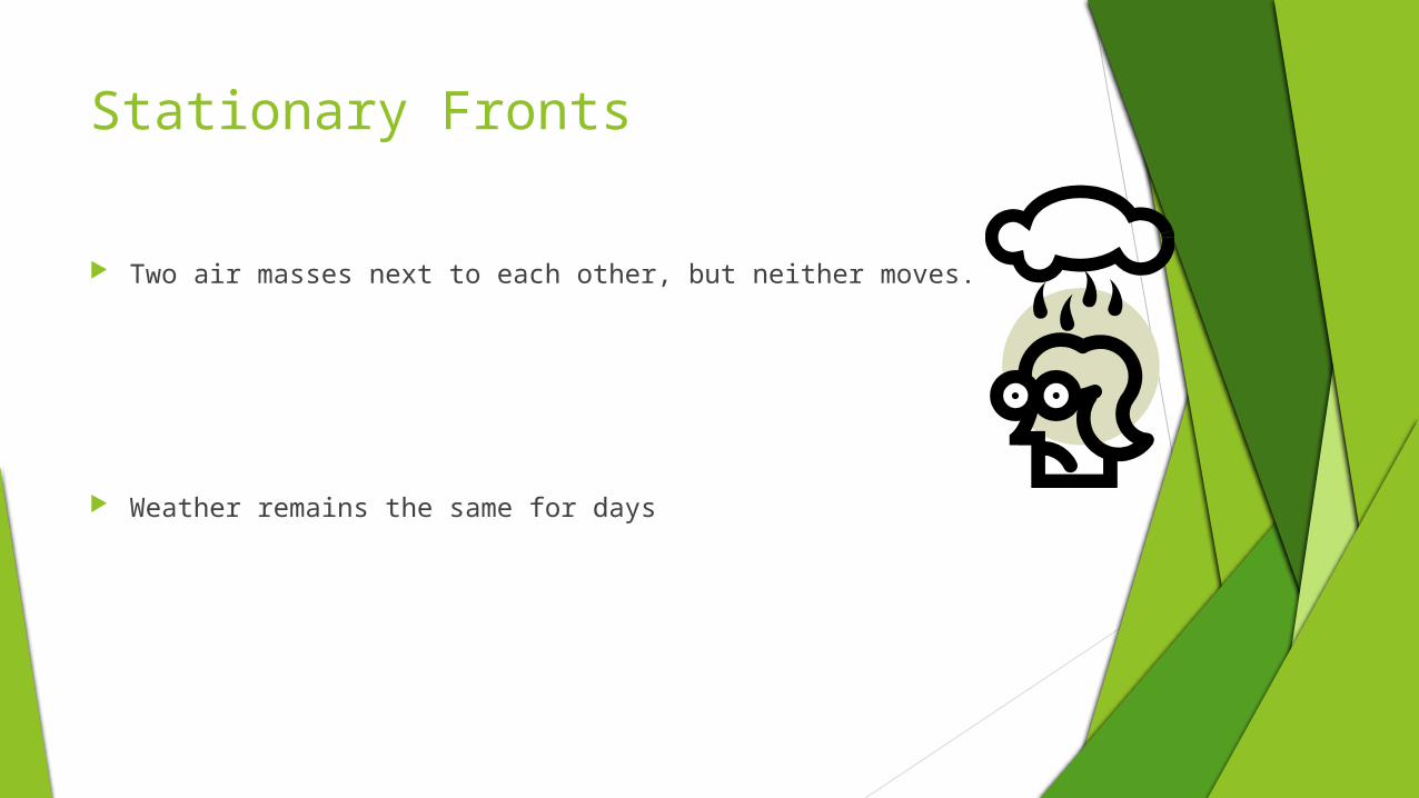
Stationary Fronts
Two air masses next to each other, but neither moves.
Weather remains the same for days

Occluded Fronts

Occluded Front
A warm air mass is caught between two cooler air masses.
The temperature near the ground becomes cooler, and the warm air mass is cut off or occluded from the ground.
The weather may turn cloudy and rain or snow may fall

Cyclones and Anticyclones
Cyclone-a swirling center of low air pressure. As warm air at the center of the cyclone rises, the air pressure decreases. Cooler air blows inward from nearby areas of higher pressure. Winds spiral inward toward the center.
Cyclones and decreasing air pressure are associated with clouds, wind, and precipitation.
Anticyclones: are high pressure centers of dry air.
The descending air in an anticyclone causes dry, clear weather.

Home Work: Answer the following questions, and the 2 questions in the beginning needs to be on a piece of paper with this.
1. What two characteristics are used to classify air masses?
2. What type of air mass would form over the northern Atlantic Ocean?
3. What is a front?
4. What type of weather occurs as a warm front moves through an area?
5. What type of fronts would cause several days of rain and clouds?
6. What is a cyclone?
7. How does air move in a cyclone?
8. What kind of weather is associated with a cyclone? What kind of weather is associated with an anticyclone?