amrtisar metropolitan region development plan, 2031spa.ac.in/writereaddata/amrtisar metropolitan...
TRANSCRIPT
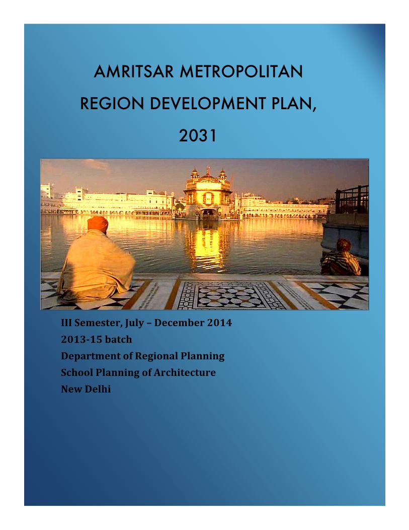
AMRITSAR METROPOLITAN
REGION DEVELOPMENT PLAN,
2031
Semester III
Batch 2013-15
III Semester, July – December 2014
2013-15 batch
Department of Regional Planning
School Planning of Architecture
New Delhi
Executive Summary
Metropolitan Region Development Plan for Amritsar,2031
For planning and design studio exercise in the third semester, Metropolitan Development Plan for Amritsar was taken up as a sub-regional plan. A metropolitan development plan is a significant link in the hierarchy of plans, which intends to connect regional plan at the higher level and village (rural areas) and master plans (urban areas) at the lower level. The aim of the study is to prepare Metropolitan Region Development Plan for Amritsar, 2031. To achieve this, the following objectives were set:
• To delineate the metropolitan region based on the secondary and primary data analysis. • To assess and analyze the existing status of social, economic and physical parameters and
their spatial distribution in the Region. • To identify drivers of development and their planning implications in each sector. • To formulate suitable sectoral strategies for the integrated spatial and economic
development of the region.
To achieve the objectives and for making final plan, the sectoral analysis was carried out. Delineation Delineation of metropolitan region is done for Amritsar and its adjoining districts which include Gurdaspur, Tran Taran and Kapurthala. It is preliminary delineated on the basis of three parameters i.e. population density-2011, level of urbanization-2011 and urban growth rate 2001-2011. Blocks above state average in atleast two of the parameters is considered for preliminary delineation region in order to capture influence of Amritsar. For fine tuning and extension of (if necessary) the region, seven primary parameters is studied which is classified as economic factors: milk procurement and supply, flow of vegetables and food grains, flow of tourists; services / facilities: newspaper distribution, origin destination of vehicular trips, access to education and health facilities and at last, stakeholder consultation was also carried out. For final analysis all eleven parameters are presented in matrix and blocks which are covered under all eleven factors is identified as Metro Regional core that is Verka block, blocks which are in under ten to six (half of all eleven factors) factors is classified as region of Intense influence: eight block of Amritsar, two of each Gurdaspur and Tarn Taran, block Bhikiwind which is covered under five aspects is also added in intense influence region for contiguous and blocks covered under five to one factors is named as Extended region which includes eight block of Gurdaspur, four of Pathankot, six of Tarn Taran, and one of Amritsar, but Kahnuwa, Kalanaur and Bamyal blocks despite having no factor are included in extended region so as to have planned development and continuity.
Regional Setting Amritsar is one of the oldest settlement and second largest city in Punjab. The city lies on the main Grand Trunk Road (NH 1) that connects it to Delhi and Lahore in Pakistan. The Golden Temple a living symbol of the spiritual and historical traditions of the Sikh is the main landmark of Amritsar. The temple attracts more visitors (100,000 on weekdays) than the Taj Mahal and is the most popular destination for Non-resident Indians (NRI). The district shares international boundary (Wagah border) of 109.36 k.m with Pakistan. Amritsar District has third largest share in state Gross Domestic product (GDP 7.4%) after Ludhiana (15%) and Jalandhar (9%). Districts of Tarn Taran, Kapurthala, Gurdaspur and Pathankot surround Amritsar district. Amritsar is well connected through road to Delhi, Jammu, Gujarat, and Rajasthan. It has connectivity by rail to capital city Delhi, Una, Jammu city, Jaipur and Pathankot, Ludhiana by various branch lines but not connected to state capital Chandigarh directly and air transport by having Amritsar's international airport named as Sri Guru Ram Dass Jee International Airport. The other airports around Amritsar are Ludhiana Domestic airport (152 k.m) and two Air force Station at Bhatinda and Pathankot.
Demography Amritsar Metropolitan Region (AMR) comprises of 3 districts mainly Amritsar, Tarn Taran and Gurdaspur and a total of 30 blocks. It has 39 urban centers and 2,700 villages. The total population of the region was 51.67 lakhs in 2001 which increased to 64 lakhs in 2011. The AMR has shown a population growth rate from 17 percent (1981-91) to 22 percent (1991-2001) and finally to 23 percent (2001-11). The average population density of the region is 1,000 persons per sq. km. and blocks having higher densities above this average are mainly concentrated along the NH15 and NH1 between Veraka and Dharkalan block. The Urban settlement pattern of the region is also quite skewed as majority of the urban centers lie along this same corridor. The region has 3 Class1 towns, 2 class II towns, 9 Class III towns, 11 class IV towns and 14 class V towns. The level of urbanization of the region is 33 percent, which is below the state average of 37 percent. Urbanization is mainly concentrated in 5 blocks namely Veraka, Batala, Gurdaspur, Pathankot and Dharkalan.
Throughout the region, population growth rate in urban areas was observed higher in smaller towns with Nangali (297%), Chogawan (173%), Bhikiwind (100%), Daulatpur (185%) and Hargobindpur (51%) showing highest growth. A few urban areas also observed negative growth rate from (2001-11) such as Fatehgarh Churian (-18%), Baba Nanak (-15%), Dhariwal (-10%), Pathankot and Jugial (-8%).
The intense region of the AMR shows low literacy rates both in rural and urban areas. The region records high concentration of SC population i.e. above the state average of 32 percent. The sex ratio in rural areas was low in the entire region with none of the blocks coming above the National average. The sex ratio was found a little better in urban areas as compared to the national average.
Economy The economic contribution of Amritsar Metropolitan Region in Punjab state is declining in the last decade. However, the tertiary sector and primary sector dominate with their 55 percent and 30 percent contribution respectively in the region’s economy.
In primary sector of economy, there has been a decrease in net sown area in the region by 11 percent from 2001 to 2011. This is because of change in use of land from agricultural to non-agricultural as a result of urbanisation in the region and decrease in ground water table. The mechanisation in agriculture is higher in the extended region due to which cropping intensity is also higher than the regional average in the extended region.
Major crops in the region are wheat, rice, maize and bajra. In the region, area under rice cultivation has increased by 36 percent and wheat by 7 percent from 1999 to 2011. Overall production of crops in the region has also increased by around 25 percent from 1999 to 2009.
Procurement of paddy by food corporations has shown decrease in the region since people have shifted towards basmati rice cultivation. Due to a policy of Punjab government providing subsidy on paddy cultivation, there is an issue of food security in the region as food corporations procures only normal traditional paddy.
In animal husbandry, there is a decrease in the number of milch cattle in Amritsar and Gurdaspur. Main milk plant of the region is in Veraka with a capacity of 100000 KL. There are 12 milk chilling centers in the region which collect milk from Dairy co-operative societies and supply it to the milk plant in Veraka. Out of total 12 chilling centers, 5 are working on rental spaces. The dairy in the region has shown positive achievements. The dairy co-operative societies have increased from 611 to 680 in past 4 years. The capacity of chilling centers has also increased from 65000 KL to 85000 KL on past 4 years
The secondary sector contributes 15 percent in GDDP share, and has a dominance of service and food processing activities in our region. A pattern of regional imbalance in the growth of industries was observed in the core, intense and extended sub-regions respectively.
Amritsar is a well known tourist destination for its places of tourist interests with religious purposes. About 33 thousand tourists daily visit Amritsar. The types of tourist places have been classified into 3 categories i.e. religious, historical and wetlands. For analysis, both secondary and primary data were obtained. Tourist survey was conducted at places of tourist interests within the region. Total of 240 samples were obtained. About 72 percent of the total tourist’s visits in the Amritsar Metropolitan region are concentrated in the core metropolitan region.
Amritsar being centre of the Sikh religious hub, majority of its tourists’ visits have religious function (44%) as the purpose of their visit to Amritsar. Maximum tourists’ within the region are accompanied with family members (46%) during their visits. The places of tourist interests outside the core metropolitan region are unexplored. The region has immense potential for
recreational tourism at Harike Wetland and Kanjli wetland, which are located at a distance of 80 kilometer and 60 kilometer respectively from the Amritsar Core region. Activities like Boating, Camping, and Bird observatory have potential to be developed for those tourists who do not visit for religious purpose. Tourist Information centers have to be developed in the places of tourist interests outside the core region. Policy recommendation is to promote farm tourism scheme so as to provide for the accommodation at the places of tourist interests outside core region, where potential has not been explored.
Infrastructure The study area has been analysed on two levels i.e. at municipal town level and block level in terms of piped water supply network connection, daily supply and availability of water, sewerage connection and sanitation facility which covers individual household latrines at household and school level and in terms of availability of education and health facilities at block level and City Level. In education sector, analysis was carried out for availability of primary schools within <1 Km radius, location and availability of higher education facilities, Enrolment and Dropout rates. Coming to Health Sector, Availability of primary and secondary health institutions, and specialized health institutions, Doctor: population, Nurse: Population, Pharmacist: Population, Lab technician: Population, Bed: Population. The system of water supply in Amritsar and surrounding districts is entirely based on ground water, which is extracted through tube wells and supplied to the residents through Overhead reservoirs (OHR). Water for urban areas in region is largely supplied by Punjab water supply and sewerage board and handed over for running and maintenance to urban local bodies. In terms of population coverage at urban level, the piped water supply network is serving 80 percent of total Amritsar city population. Among other settlements, the population served by water supply is 85-90 percent, which shows a good sign of development in context of the benchmark of 100 percent coverage, whereas at rural level the overall situation of water supply coverage is not appreciable as 24 blocks out of the 31 blocks which constitute 77 percent of the study region are 50 percent below the coverage. At urban level, the disposal of sewage generated by industrial, commercial, domestic and institutions is also one of the basic functions of the local bodies. Providing sewage disposal network is mandated due to its impact on the quality of life and quality of environment. In case of rural areas, various blocks follow the system of pumping the untreated sullage into the nearby water bodies/drains. Solid waste management involving collection, storage, segregation, transportation and disposal is the prime responsibility of the Municipal Corporation of Amritsar. Health Officer of the Corporation has been vested with the overall responsibility for management of the solid waste.
Generation to collection efficiency of waste is very poor in all the major towns except pathankot. Presently, absence of solid waste treatment plant in the city is leading to disposal of waste without undertaking any pre-treatment. The higher educational facilities are concentrated in five places in the region. At hierarchy level, Amritsar is coming in 1st order as it has all type and adequate number of higher education facilities. Gurdaspur, Pathankot, Batala and Tarn Taran are 2nd, 3rd, 4th and 5th order cities respectively. The core of study region (Veraka Block) is the Hub for the Educational Facilities with having 15 Degree colleges, 9 B.Ed. Colleges, 4 engineering colleges, 4 Medical colleges, and 3 management Colleges. The educational institutions in Amritsar have good infrastructure which serves both the local needs as well as the regional demand of students. In demand gap analysis, it was found that in terms of primary schools located within less than 1 k.m. radius, more than 50 percent of intense region and 1/3rd of extent region are lacking as per norms of SSA. The region has well developed health institutions with four Civil Hospitals, Guru Nanak Dev Hospital, 4 Sub Divisional Hospitals (SDHs), 30 CHC’S, colleges 122 PHC’s and 606 sub- Centers. The Health Institutions are distributed across the region according to Administrative boundary except Sub-divisional hospitals whereas they are distributed un-evenly according to population criteria. Most of the health facilities are easily accessible to motorable roads. Out of 285 Specialized and hospitals, 149 (>50%) are located in metro core region. There are 12 sub-divisions and 5 sub- divisional hospitals are located in the region with three other sub-divisions lacking in SDHs as per norms of IPHS. The ratio of doctor-population, nurse-population, Pharmacist: Population, Lab technician: Population, ANM: Population ratio’s in entire region, Amritsar district stands better as compared to other districts. Housing The housing sector is studied at district level as well as region level in terms of rural and urban housing scenario. The study related to housing shortage, slums, unauthorized colonies, townships, policies and programs related to housing and land management covering land acquisition, land development and disposal of land was carried out. Considering permanent houses, temporary houses, vacant houses, dilapidated houses and houseless households, housing stock analysis has been done. The study region has 23 percent of total housing stock available in Punjab state. At both urban and rural level, distribution of houses has been studied and housing shortage has been identified which has increased at the rate of 78 percent in last decade. Environment and Disaster The objectives of studying the environment and disaster were to assess and analyse the existing status of the environmental and disaster condition in the region. The main goal is to assess the environmental profile of the region majorly focusing on ground water status and quality. The
analysis also pertains to pollution level of the district and surroundings. The block level analysis has been done to assess the ground water quality, depth and pollution and also to figure out the vulnerable population living in the region. Governance and Finance Various agencies are involved in planning, financing and development of a region and its administrative sub-components are district, tehsil, block and panchayats. These institutions perform their role within specific jurisdiction defined by the Government. The delineated area of Amritsar Metropolitan Region comprises of 4 districts, 31 blocks and 12 tehsils. Major issue is absence of any regional level institutional mechanism. MPC has not been constituted in the region and there is no any state act incorporating provision of constitution of Metropolitan Planning Committee (MPC) as per 74th Constitutional Amendment Act. People’s participation in plan making is not satisfactory in the local bodies.
The proposal is to constitute a MPC and a technical Secretariat for supporting the MPC by incorporating the officials from Town and Country Planning Department, Economics and Statistics Department and Planning Board. MPC will function for controlling and regulating the development and building constructions in rural local bodies located in and around the development centers, to change the character of settlements from rural local body to statutory towns, and to take decision for preparing development plan for all statutory Urban local bodies. For people participation in plan making, strengthening of the Ward Committees and Area sabhas is required. To increase people’s participation and capacity building of local representatives, camps and awareness programs needs to be organised.