an evaluation of software frameworksfor landscape ... · 04/09/2014 · an evaluation of software...
TRANSCRIPT
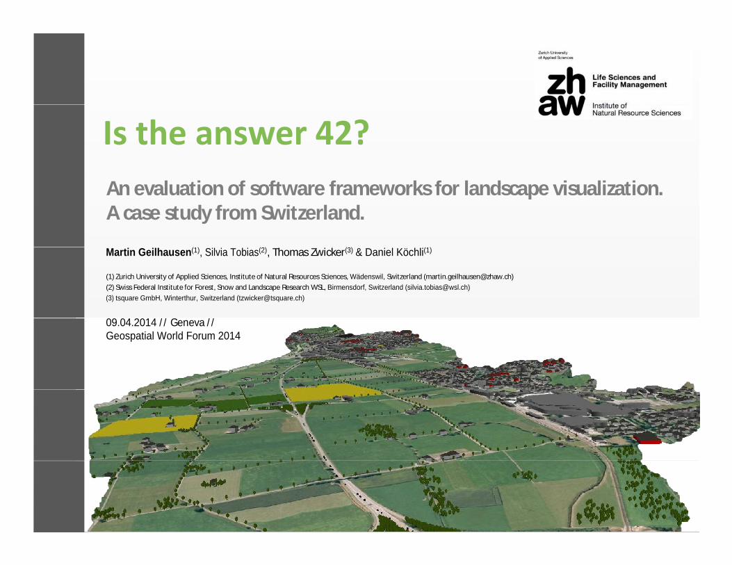
An evaluation of software frameworks for landscape visualization. A case study from Switzerland.
Martin Geilhausen(1), Silvia Tobias(2), Thomas Zwicker(3) & Daniel Köchli(1)Martin Geilhausen(1), Silvia Tobias(2), Thomas Zwicker(3) & Daniel Köchli(1)
(1) Zurich University of Applied Sciences, Institute of Natural Resources Sciences, Wädenswil, Switzerland ([email protected])
(2) Swiss Federal Institute for Forest, Snow and Landscape Research WSL, Birmensdorf, Switzerland ([email protected])
(3) tsquare GmbH, Winterthur, Switzerland ([email protected])
09.04.2014 / / Geneva / / 09.04.2014 / / Geneva / / Geospatial World Forum 2014

Introduction & RationaleIntroduction & Rationale
Swiss communities face increasing development pressure on the landscape (Hersperger & Bürgi 2007, Bürgi et al. 2010)the landscape (Hersperger & Bürgi 2007, Bürgi et al. 2010)
Davos 1908 Davos 2000 Davos 2050
WSLresearch programme Room for People and Nature drawslong-term visions and scenarios of future development andexploreshow it influences landscape qualities.exploreshow it influences landscape qualities.
(Photo credit: WSL)

“The abilities to dynamically explore the visualisationsof “The abilities to dynamically explore the visualisationsof planning proposals, and to see real-time changes in indicator
metrics were considered particularly informative, and appeared to increase participants’ understandingof the plan.”to increase participants’ understandingof the plan.”
Salter et al. 2009Workshop Glarus-Nord, April 2013 (Photo credit: Silvia Tobias WSL)

ObjectiveObjective
Evaluation of budget visualization techniques in two case Evaluation of budget visualization techniques in two case study workshops considering
Linthebene
• preparation effort
Glarus-Nord
Linthebene
• level of detail
Glarus-Nord
• dynamic navigation and interactivity

Scenario compositionScenario composition
• 3 approaches
• combination of GIS, CAD and virtual globe • combination of GIS, CAD and virtual globe (ArcGIS, SketchUp & Google Earth)
• photo composition & montage (Cinema4D) GlarusGlarus--NordNord
• photo composit ion & montage (Cinema4D)
• used complementary at different spatial scales and view perspectivesscales and view perspectives
• a new planning software framework(modularCity)
LinthebeneLinthebene(modularCity)
• pre-workshop performance test • pre-workshop performance test
• lessons learned considered for further visualizat ion

GIS, CAD & Virtual Globe GlarusGlarus--NordNordGIS, CAD & Virtual Globe
• “big picture” - bird’s eye views from well known scenic spots
• workflow of scenario composit ion
data mining & preparationdata mining & preparation1
2refinement
2
• scenario preparationprior to workshop 3
visualization
View to the Linthebene, Study area Glarus NordScenario of landscape change, Study area Glarus Nord
3

Photo composition & montage GlarusGlarus--NordNordPhoto composition & montage
• “detailed views” - street views from dist inct ive locat ions
• workflow of scenario composit ion
image acquisition1
2
image acquisition
image manipulation2
• scenario preparationprior to workshop 3
visualization
Vicinity of the train station, Study area Glarus NordScenario of landscape change, Study area Glarus Nord
3

Planning software modularCity LinthebeneLinthebenePlanning software modularCity
• “mashing up” - bird’s eye views and st reet views
• workflow of scenario composit ion
data mining & preparationdata mining & preparation1
2procedural modelling
• live/ real-time constructionof scenarios in workshop
2
of scenarios in workshop
3visualization
View towards Uznach, Study area Linthebene
3

EvaluationEvaluation
Advantage
• 3D visualization & GE imagery
Limitation
• manual entity creation of scenarios• 3D visualization & GE imagery• use of available data• SketchUp plugins and components• different scenario layers
• manual entity creation of scenarios• simple components needed for
seamless navigation• fixed terrain surface (topography)• different scenario layers
(e.g. moderate, “no-go”)• fixed terrain surface (topography)• multi-software workflow with data
import/export

EvaluationEvaluation
Advantage
• easy image manipulation with
Limitation
• 2D visualization • easy image manipulation with convincing photo-realism
• back-end & front-end solution• reduced scenario preparation due
• 2D visualization • manual entity creation of
scenarios/future developments• many locations due limited FOV• reduced scenario preparation due
to limited FOV of single location • different scenario layers
• many locations due limited FOV• fixed perspective/view point

EvaluationEvaluation
Advantage
• 2D & 3D visualization
Limitation
• simple components needed for • 2D & 3D visualization • use of available data• real-time changes of metrics and
ratios with reporting
• simple components needed for seamless navigation and display
• creation of background imagery and terrain ratios with reporting
• single software solutionand terrain
• fixed terrain surface (topography)

Take home messagesTake home messages
• Dynamic exploration and real-time changes of scenarios with an appropriate level of detail increased participants’ with an appropriate level of detail increased participants’ understanding and activity.
• GIS-CAD-GE is suitable for scenic views of prepared scenarios • GIS-CAD-GE is suitable for scenic views of prepared scenarios using existing data of the present day situation.
• Cinema4D allows preparation of photo-realistic scenarios of • Cinema4D allows preparation of photo-realistic scenarios of detailed fixed perspective street views and is a valuable supplement to large-scale visualizations.supplement to large-scale visualizations.
• modularCity combines large-scale and detailed views and enables real-time scenario composition and modification enables real-time scenario composition and modification fostering participants’ activity.

Acknowledgements: www.wsl.ch/raumanspruch/
Warmest thanks to Jonas Christen & Nikolaus Heeb (ZHdK ZurichUniversity of the Arts) for stimulating discussions and graphics.
This work is part of the research programme Room for People and Nature of the Swiss Federal Institute for Forest, Snow andand Nature of the Swiss Federal Institute for Forest, Snow andLandscape Research WSL.
Financial support provided by the Federal Office of Environment, the Cantons of Aargovia, Lucerne, St. Gall, Glarus, the municipality of Glarus Nord, WSL and the Commission for Technology and Innovation CTI is gratefully acknowledged.