an object-oriented classification approach for analyzing and characterizing urban landscape at the...
TRANSCRIPT

An Object-oriented Classification Approach for Analyzing and Characterizing Urban
Landscape at the Parcel Level
Weiqi Zhou, Austin Troy& Morgan GroveUniversity of Vermont
2006 BES Annual Meeting

Outline
• Background
• Research Objectives
• Methodology
• Results
• Conclusions

Background
Questions & Motivations– What are the ecological and social consequences
associated with urban expansion? The structure of the urban landscape must be first
quantified and understood.
– Land cover data at the parcel level is highly desirable because land management decisions are commonly made at the individual household level.

Background
Data– High-resolution imagery is needed for mapping
detailed urban land cover; Coarse spatial resolution imagery (e.g., MODIS, Landsat
TM) is insufficient; Increased availability of high-resolution satellite imagery,
such as IKONOS and QuickBird, as well as digital aerial imagery

900m2


0.61m panchromatic QuickBird imagery
1m IKONOS data
0.6 m Emerge data

Background
Classification approaches– Visual interpretation is time consuming and
expensive;– Conventional pixel-based methods are inadequate;– Object-oriented classification
Segment images into objects; Incorporate shape, spatial relations, and reflectance
statistics, as well as spectral response; Similar to visual interpretation, but has the advantage of
minimal human interaction.

Objectives
Develop an object-oriented approach for classifying and analyzing the complex mix of vegetation and development in urban landscapes at the parcel level using high-resolution digital aerial imagery and LIDAR data.
Apply this approach to map and inventory the land cover in the Gwynns Falls watershed.

Study sites

Methods
Data collection and preprocessing– Emerge aerial imagery
Color infrared image, collected in 1999, pixel size of .6m
– LIght Detection And Ranging (LIDAR) data Collected first and last returns in 2002; Interpolated into raster data with pixel size of 1m;
– Points from first returns Surface cover DSM– Points from last returns Ground DSM
Surface cover height = surface cover DSM – Ground DSM;

Methods
Data collection and preprocessing– Parcel boundary data
Helped segment objects; Used as functionally meaningful geographic unit by which
to summarize landscape composition.
– Building footprint data

Methods
Image Segmentation– Fractal net evolution approach, embedded in
eCognition;– Segmented the image into 3 levels of objects;
Level 1: objects were considered to be internally homogeneous;
Level 2: classification-based fusion Level 3: Parcel

Level 1 segmentation
Level 1

Level 1
The roof was segmented to 3 object primitives

Level 2 segments
Level 2

Level 1 Details
Level 1

Level 2 details
Level 2

level3
Level 3
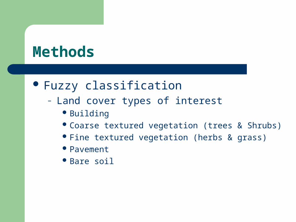
Methods
Fuzzy classification– Land cover types of interest
Building Coarse textured vegetation (trees & Shrubs) Fine textured vegetation (herbs & grass) Pavement Bare soil

Methods
Fuzzy classification– Class hierarchy
A class hierarchy was developed, and a number of rules were created to classify each object into one of the 5 classes at the most disaggregated spatial level.

Methods_HierarchyBuildings
NonBuildings
Building footprint
data
Brightness
Context&Texture
LIDAR data
LIDAR data
Context&NDVI
Shaded Fine Vege
Shaded Pavement
Context
Shaded Coarse Vege
Shaded Buildings
Shaded short
Shaded tall
LIDAR data
Fine Vegetation
Coarse Vegetation
NDVIMissing Building
Bare Soil
PavementNonVegetation
Vegetation
NonShaded
Shaded

Results_GF

Results

Reference data Classified data
Building CV FV Pavement Bare soil
Row
Total
User Acc.
(%)
Building 51 2 4 4 0 61 83.6
CV 0 84 0 2 0 86 97.7
FV 0 3 75 1 0 79 94.9
Pavement 2 0 4 68 0 74 91.9
Bare soil 1 0 1 3 45 50 90
Column Total 54 89 84 77 45
Producer Acc. (%) 94.4 94.4 89.3 88.3 100
Accuracy Assessment
Overall Accuracy: 92.3% (n=350)

Results_Parcel_Impervious

Result_parcel_FineVege

Result_parcel_LawnGreenness

Result_parcel_TreeCanopy

Conclusions (1)
The OO classification approach proved to be effective for classifying urban land cover from high-resolution multispectral imagery;
Ancillary data, such as LIDAR can greatly improve the classification;

Conclusion (2)
The OO approach using parcels as pre-defined patches provides a convenient and effective way for integrated research to incorporate biophysical and social factors, especially the research on relationships between household characteristics and structures of urban landscapes.

Acknowledgements
This research was funded by the Northern Research Station, USDA Forest Service and the National Science Foundation LTER program (grant DEB – 042376).
Thanks to a lot of BES people.

Questions?