angelos tzotsos imis athena, scientific & technical ... · imis athena, scientific &...
TRANSCRIPT

Angelos Tzotsos
IMIS Athena, Scientific & Technical Manager
OSGeo Charter Member
Copernicus Big Data Workshop, March 2014

1/25/14
2
Genesis of the project
Consortium established on active research, commercial, and personal interactions
Consortium members are active contributors to Free and Open Source Geospatial Software
Idea based on practical experience (2010-) from geodata.gov.gr and our interaction with users,publishers and SMEs

1/25/14
3
Why PublicaMundi?
Imago MundiImage of the World, Babylonian world map
Maps, created by cartographers and geographers
PublicaMundiImage of the World, based on Open Data
Maps, created by open knowledge and FOSS
1/25/14
4
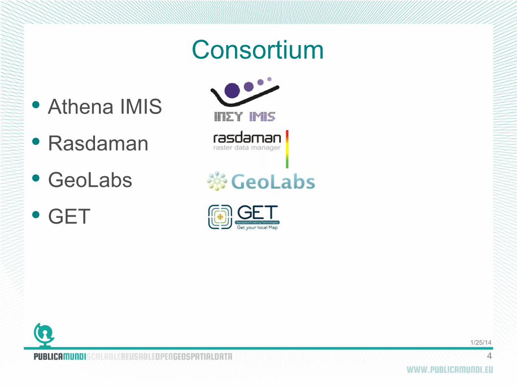
Consortium
Athena IMIS
Rasdaman
GeoLabs
GET
1/25/14
5
Athena
Athena Research and Innovation Center in Information, Communication and Knowledge Technologies
Non-profit, research organization, governed by public law
Institute for the Management of Information Systems (IMIS)
1/25/14
6
Rasdaman
rasdaman GmbH
R&D centric SME, established in 2003 (MBO in 2010)
Areas of business: commercial support for rasdaman Array DBMS; consultancy on SDIs & standards
Geospatial World Innovation Award (2013)

1/25/14
7
GeoLabs
GeoLabs SARL
R&D centric SME focused on FLOSS GIS
Senegalease Land register (2007)
3D module development for Terra Explorer (2008) in IGN 3D Geoportal
Development of the MapMint SDI using WPS, other OGC Web Services and OASIS
1/25/14
8
GET
Geospatial Enabling Technologies LtD
SME focused on GeoInformatics
Successful design and implementation of projects for public and private sector related to geospatial data production, management, curation, geospatial applications (desktop, mobile, web)
One of the first Greek private companies invested in Open Source GIS technology

1/25/14
9
Experiences and Problems
Reoccurring practical problems in open geospatial data reuse:
Data formats/CRS
Web maps
Interlink
Translations
Publishing
OGC/INSPIRE documents not for all

1/25/14
10
Goals
Research and develop methodologies, as well as scalable, reusable tools to facilitate:
the publication
discovery
and reuse
of open geospatial data
1/25/14
11
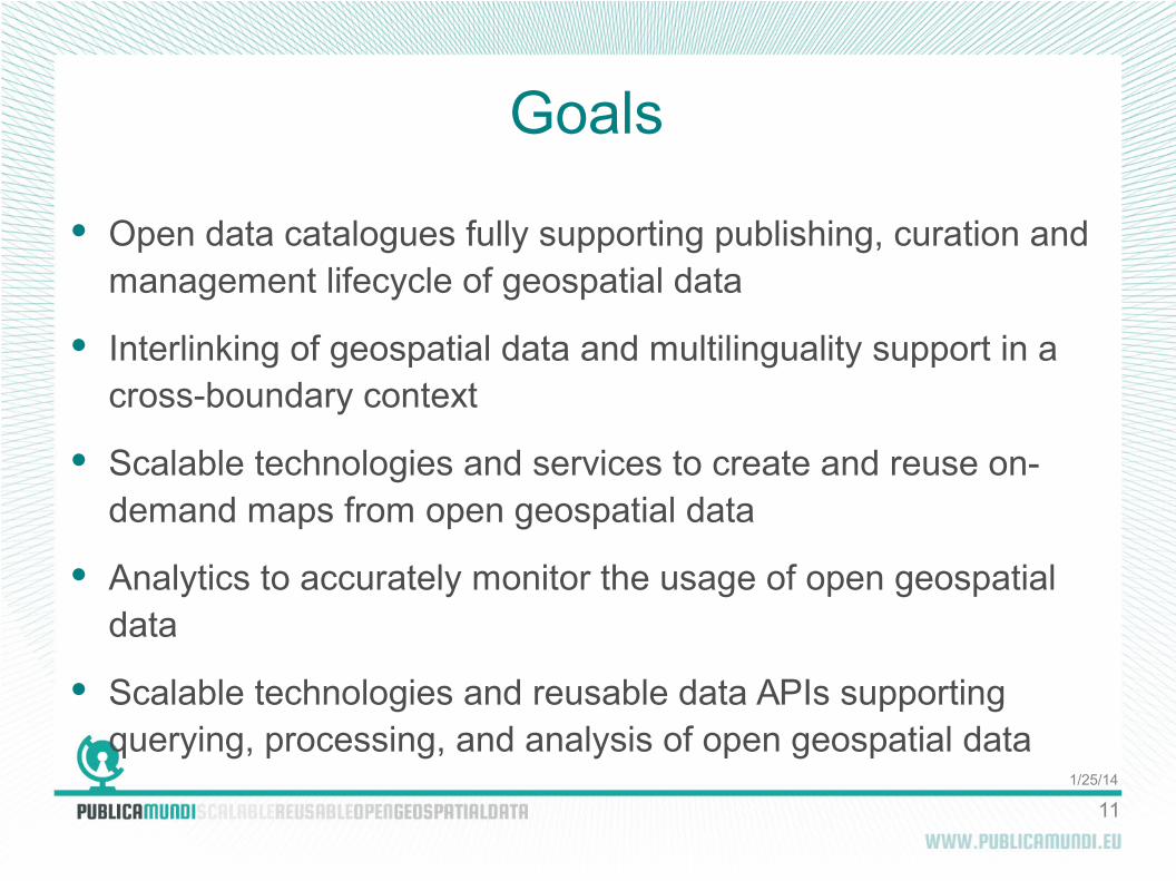
Goals
Open data catalogues fully supporting publishing, curation and management lifecycle of geospatial data
Interlinking of geospatial data and multilinguality support in a cross-boundary context
Scalable technologies and services to create and reuse on-demand maps from open geospatial data
Analytics to accurately monitor the usage of open geospatial data
Scalable technologies and reusable data APIs supporting querying, processing, and analysis of open geospatial data

1/25/14
12
Free and Open Source Software (FOSS)
It's a prerequisite for Big Data and Cloud Computing
Everybody uses FOSS today, even without knowing it
1/25/14
13
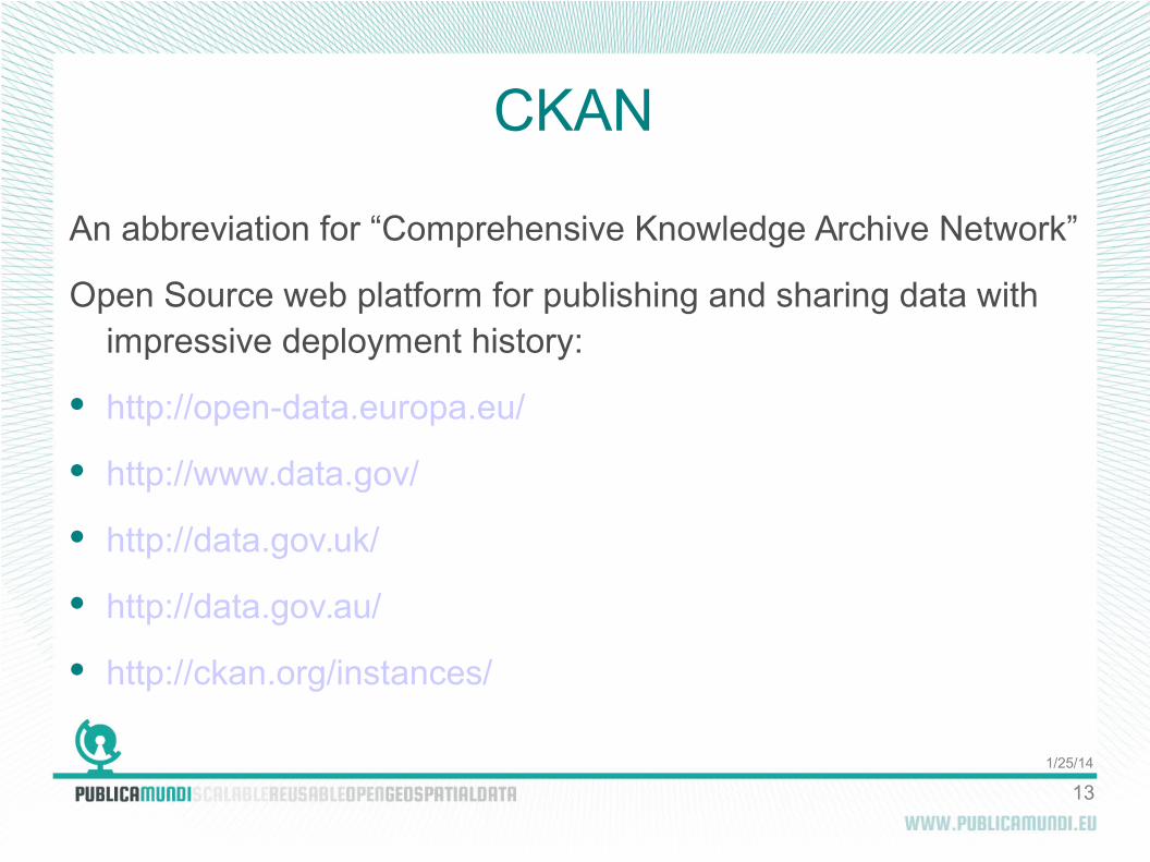
CKAN
An abbreviation for “Comprehensive Knowledge Archive Network”
Open Source web platform for publishing and sharing data with impressive deployment history:
http://open-data.europa.eu/
http://www.data.gov/
http://data.gov.uk/
http://data.gov.au/
http://ckan.org/instances/
1/25/14
14
PublicaMundi and FOSS
Based on CKAN open data catalogue
PublicaMundi will spatially extend CKAN using OGC standards
Development is based exclusively on the OSGeo stack
1/25/14
15
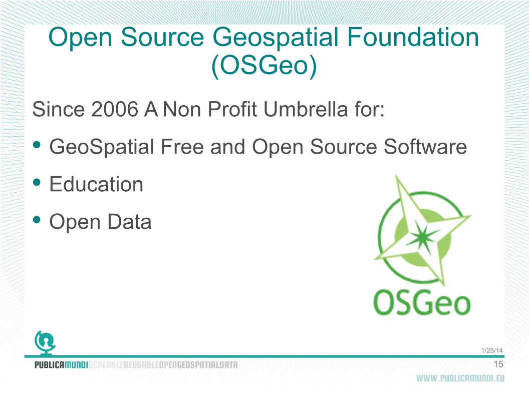
Open Source Geospatial Foundation (OSGeo)
Since 2006 A Non Profit Umbrella for:
GeoSpatial Free and Open Source Software
Education
Open Data

1/25/14
16
OSGeoLive
GNU/Linux distribution
60+ Open Source Geospatial Applications
Sample Datasets
Consistent Overviews, Quickstarts
Translations
Unfortunately Big Data do not fit
on a 4GB DVD...
1/25/14
17
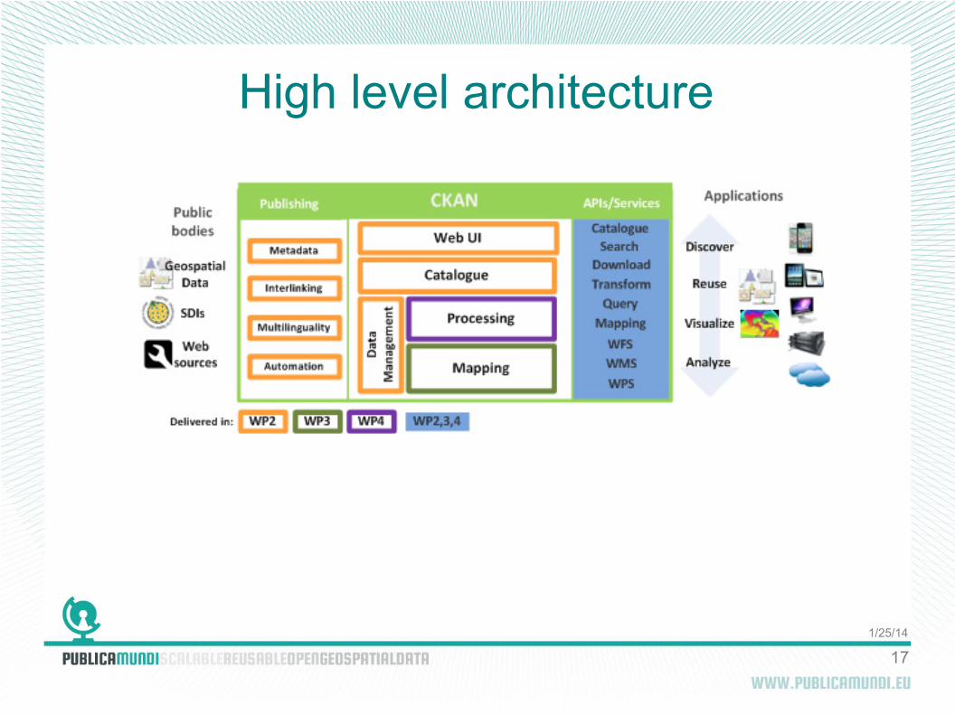
High level architecture
1/25/14
18
OGC standards and INSPIRE
Discovery Services
View Services
Download Services
Processing Services

1/25/14
19
Earth Observation Big Data
Integration with rasdaman
WCPS and WPS support

1/25/14
20
Architecture Overview

1/25/14
21
Contact us
www.publicamundi.eu