arcgis for smartphones and tablets - esri
TRANSCRIPT

ArcGIS for Smartphones and Tablets
Matt Kennedy
Esri Mid-Atlantic User ConferenceDecember 11-12th, 2012 | Baltimore, MD
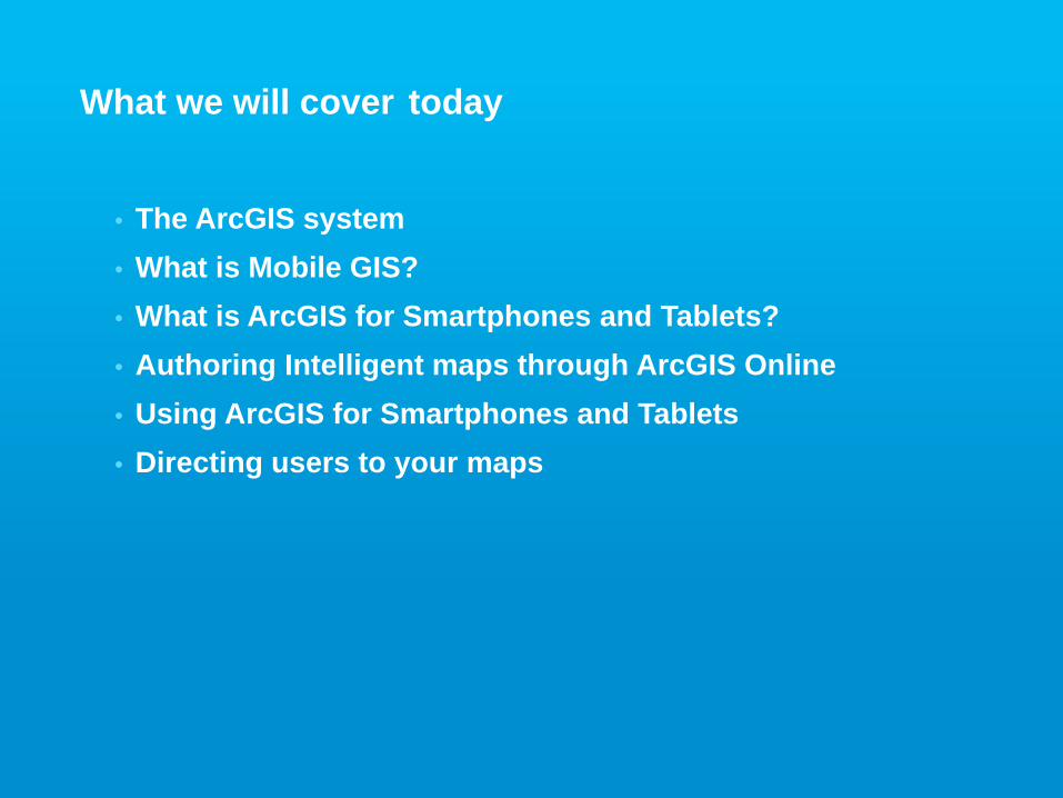
What we will cover today
• The ArcGIS system• What is Mobile GIS?• What is ArcGIS for Smartphones and Tablets?• Authoring Intelligent maps through ArcGIS Online• Using ArcGIS for Smartphones and Tablets• Directing users to your maps
ArcGIS
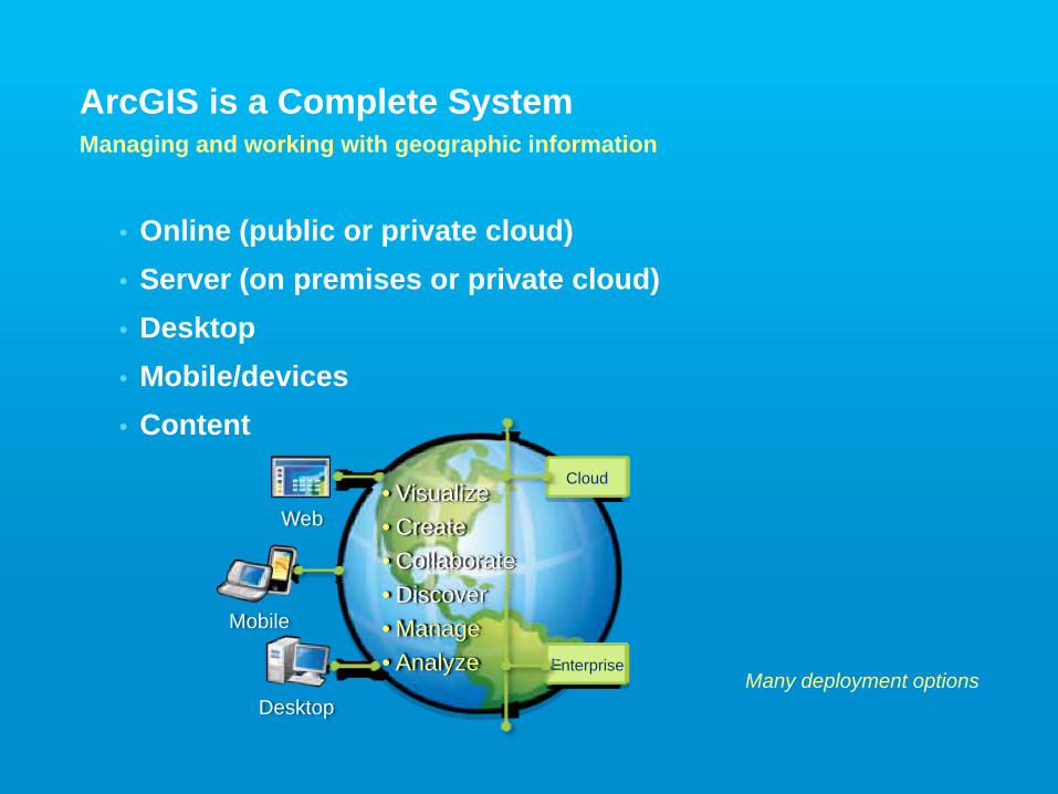
• Online (public or private cloud)• Server (on premises or private cloud)• Desktop• Mobile/devices• Content
ArcGIS is a Complete SystemManaging and working with geographic information
Many deployment options
Cloud
Enterprise
Web
Mobile
Desktop
• Visualize• Create• Collaborate• Discover• Manage• Analyze
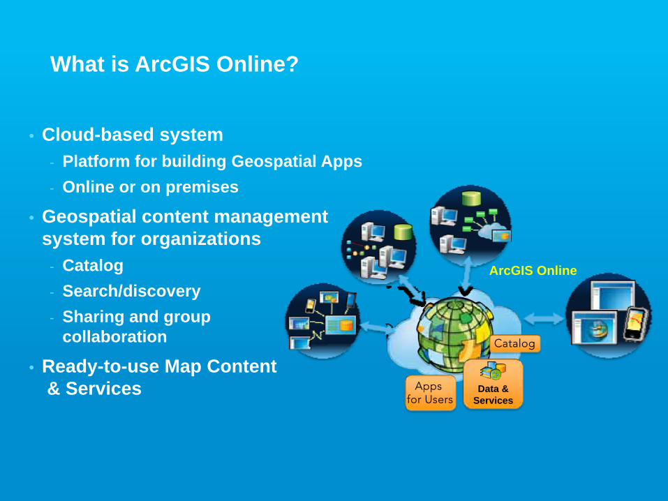
What is ArcGIS Online?
• Cloud-based system- Platform for building Geospatial Apps- Online or on premises
• Geospatial content management system for organizations
- Catalog- Search/discovery- Sharing and group
collaboration
• Ready-to-use Map Content& Services
ArcGIS Online
Data & Services
Catalog
Apps for Users
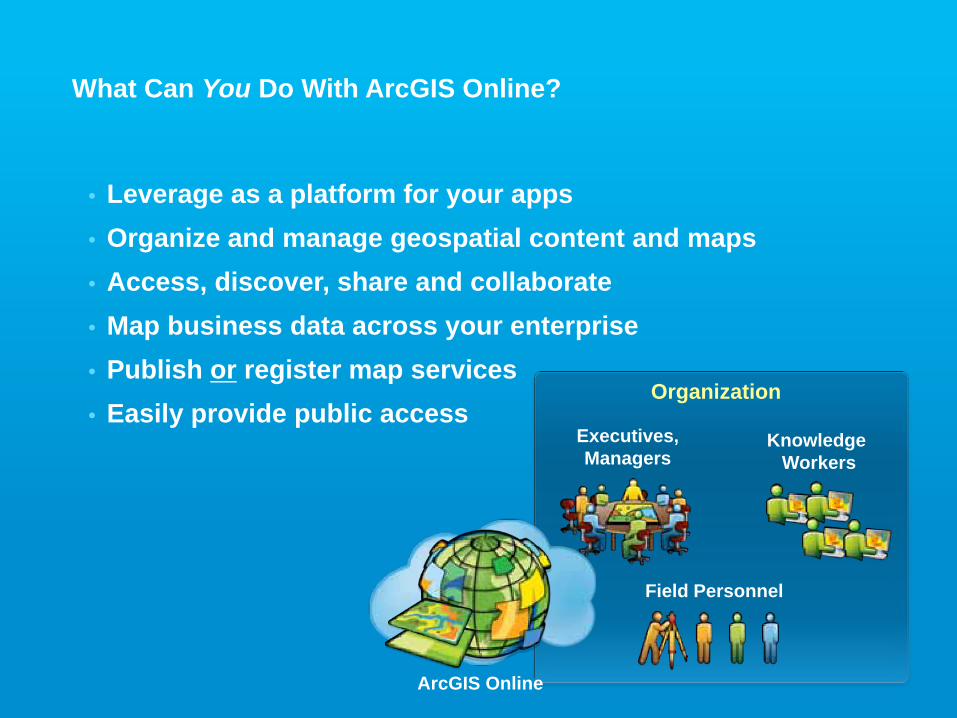
What Can You Do With ArcGIS Online?
• Leverage as a platform for your apps• Organize and manage geospatial content and maps• Access, discover, share and collaborate• Map business data across your enterprise• Publish or register map services• Easily provide public access
KnowledgeWorkers
Field Personnel
Executives,Managers
Organization
ArcGIS Online
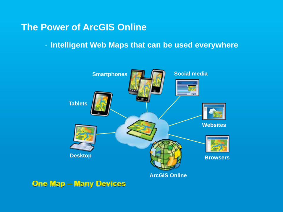
The Power of ArcGIS Online
• Intelligent Web Maps that can be used everywhere
One Map – Many Devices
Desktop
Tablets
Smartphones
Websites
ArcGIS Online
Browsers
Social media
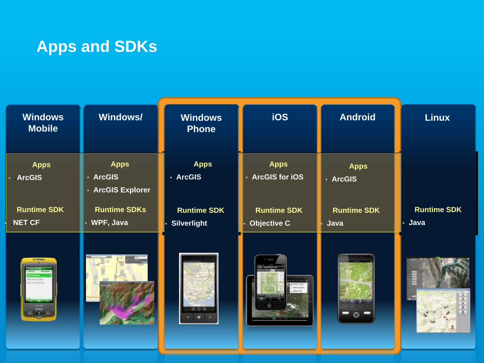
Apps and SDKs
Windows Mobile
Windows/ iOS Android
Runtime SDK
• .NET CF
Runtime SDKs
• WPF, Java
Linux
Runtime SDK
• JavaRuntime SDK
• Objective C
Runtime SDK
• Java
Windows Phone
Runtime SDK
• Silverlight
Apps
• .ArcGIS
Apps
• ArcGIS
• ArcGIS Explorer
Apps
• ArcGIS
Apps
• ArcGIS for iOSApps
• ArcGIS
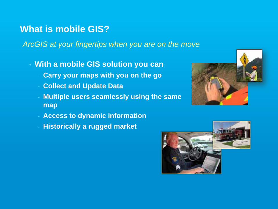
ArcGIS at your fingertips when you are on the move
What is mobile GIS?
• With a mobile GIS solution you can- Carry your maps with you on the go- Collect and Update Data- Multiple users seamlessly using the same
map- Access to dynamic information- Historically a rugged market
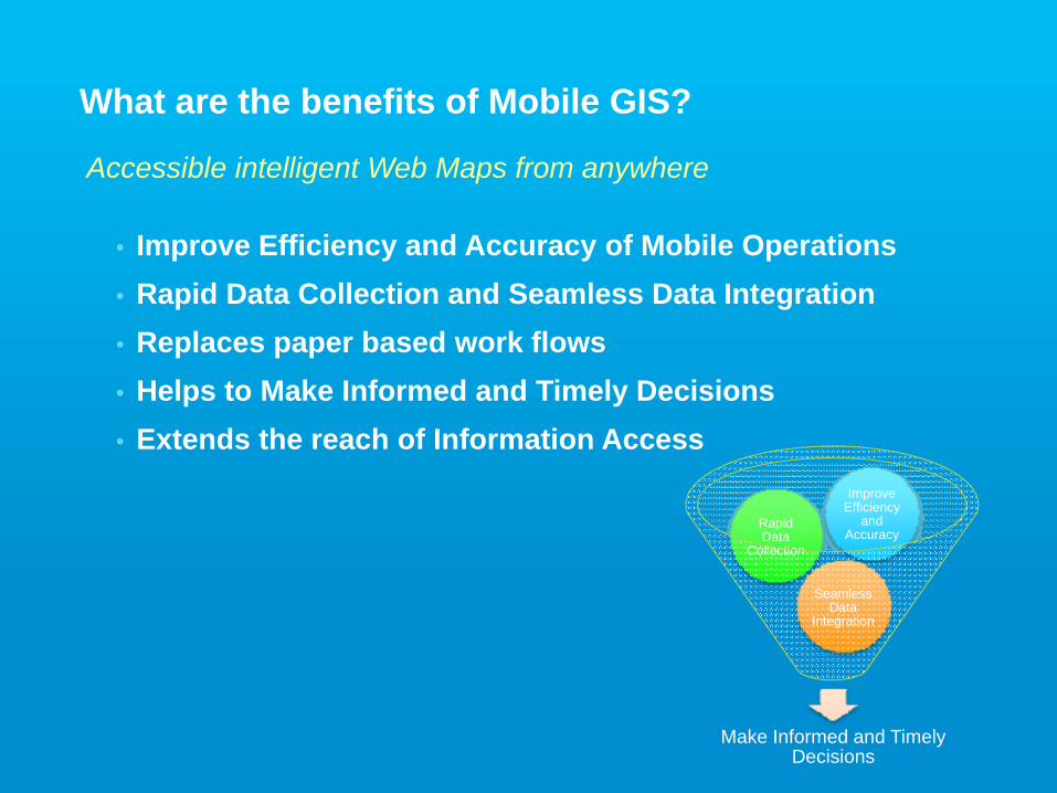
What are the benefits of Mobile GIS?
• Improve Efficiency and Accuracy of Mobile Operations• Rapid Data Collection and Seamless Data Integration• Replaces paper based work flows• Helps to Make Informed and Timely Decisions• Extends the reach of Information Access
Accessible intelligent Web Maps from anywhere
Make Informed and Timely Decisions
Seamless Data
Integration
Rapid Data
Collection
Improve Efficiency
and Accuracy
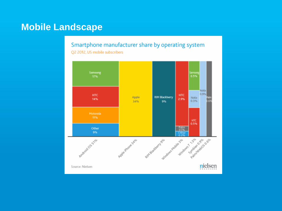
Mobile Landscape

What is ArcGIS on Smartphones and Tablets?
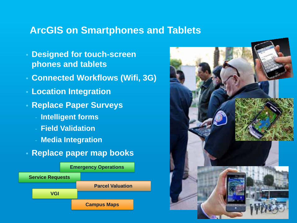
ArcGIS on Smartphones and Tablets
• Designed for touch-screen phones and tablets
• Connected Workflows (Wifi, 3G)• Location Integration• Replace Paper Surveys
- Intelligent forms- Field Validation- Media Integration
• Replace paper map books
Service Requests
Parcel ValuationVGI
Campus Maps
Emergency Operations
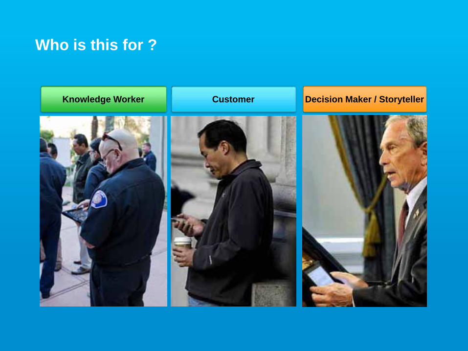
Who is this for ?
Knowledge Worker Decision Maker / StorytellerCustomer
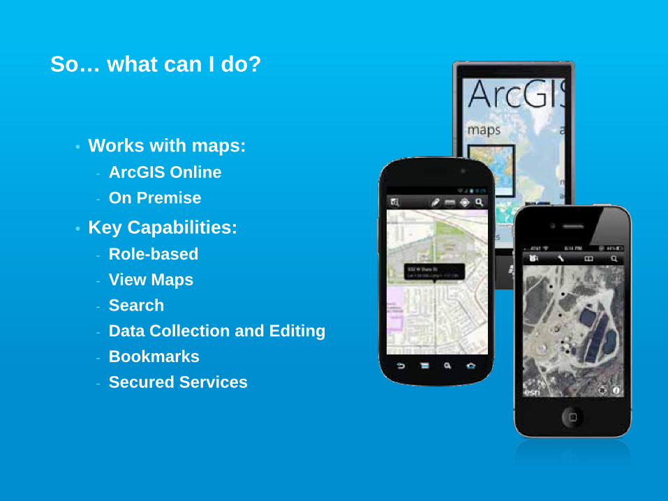
So… what can I do?
• Works with maps:- ArcGIS Online- On Premise
• Key Capabilities:- Role-based- View Maps- Search- Data Collection and Editing- Bookmarks- Secured Services
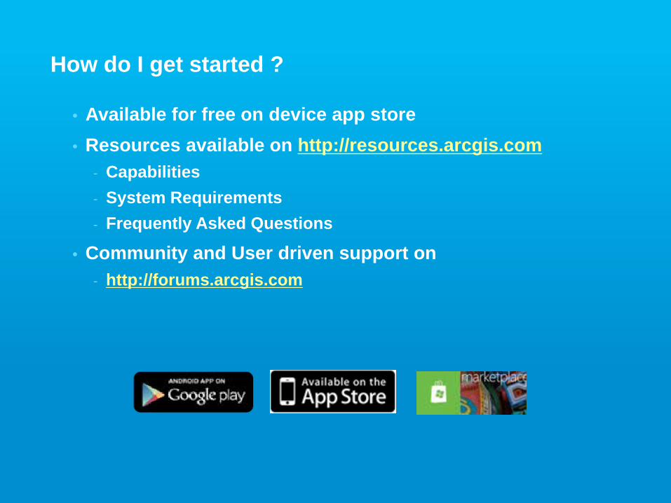
How do I get started ?
• Available for free on device app store• Resources available on http://resources.arcgis.com
- Capabilities- System Requirements- Frequently Asked Questions
• Community and User driven support on - http://forums.arcgis.com
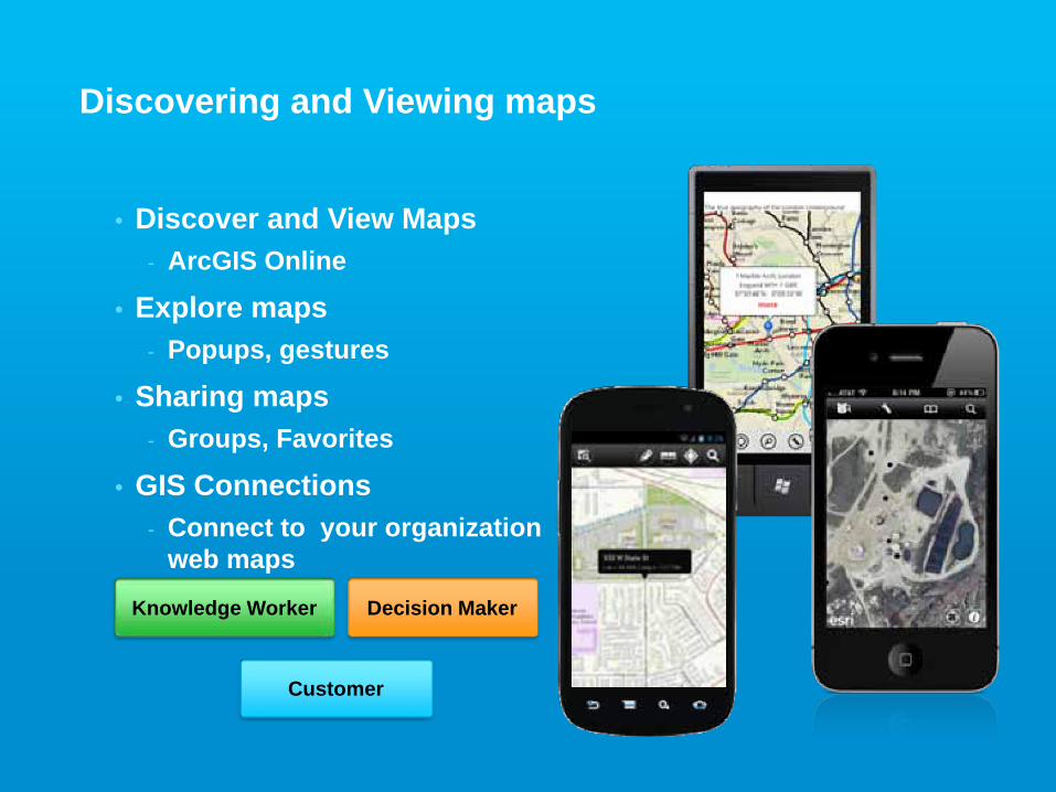
Discovering and Viewing maps
• Discover and View Maps- ArcGIS Online
• Explore maps- Popups, gestures
• Sharing maps- Groups, Favorites
• GIS Connections- Connect to your organization
web maps
Knowledge Worker Decision Maker
Customer
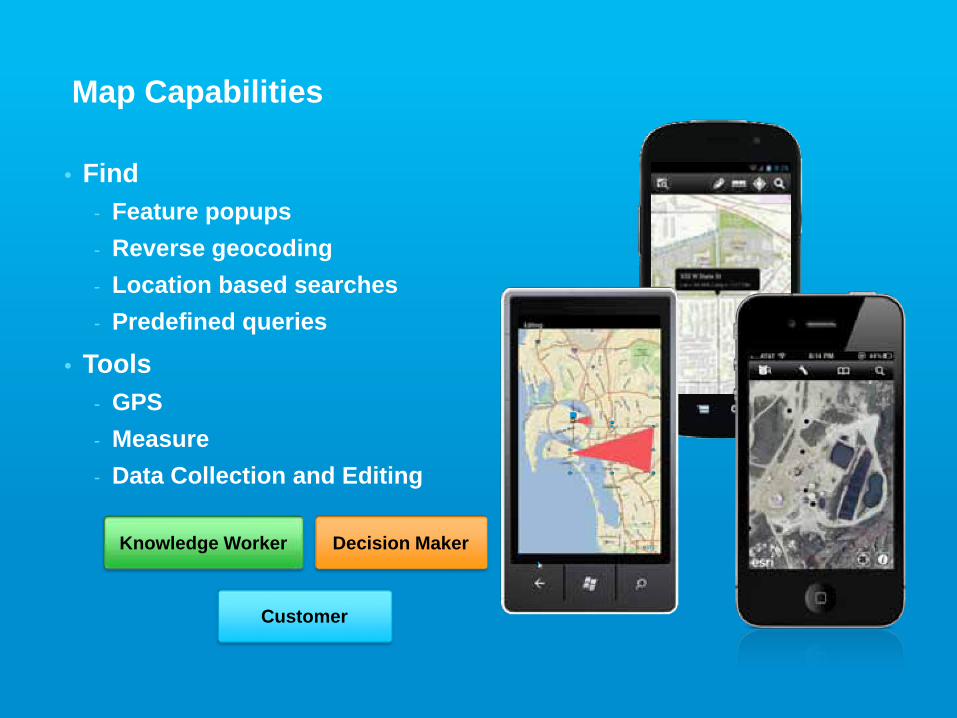
Map Capabilities
• Find- Feature popups- Reverse geocoding- Location based searches- Predefined queries
• Tools- GPS- Measure- Data Collection and Editing
Knowledge Worker Decision Maker
Customer
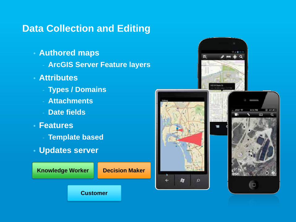
Data Collection and Editing
• Authored maps- ArcGIS Server Feature layers
• Attributes- Types / Domains- Attachments- Date fields
• Features- Template based
• Updates server
Knowledge Worker Decision Maker
Customer
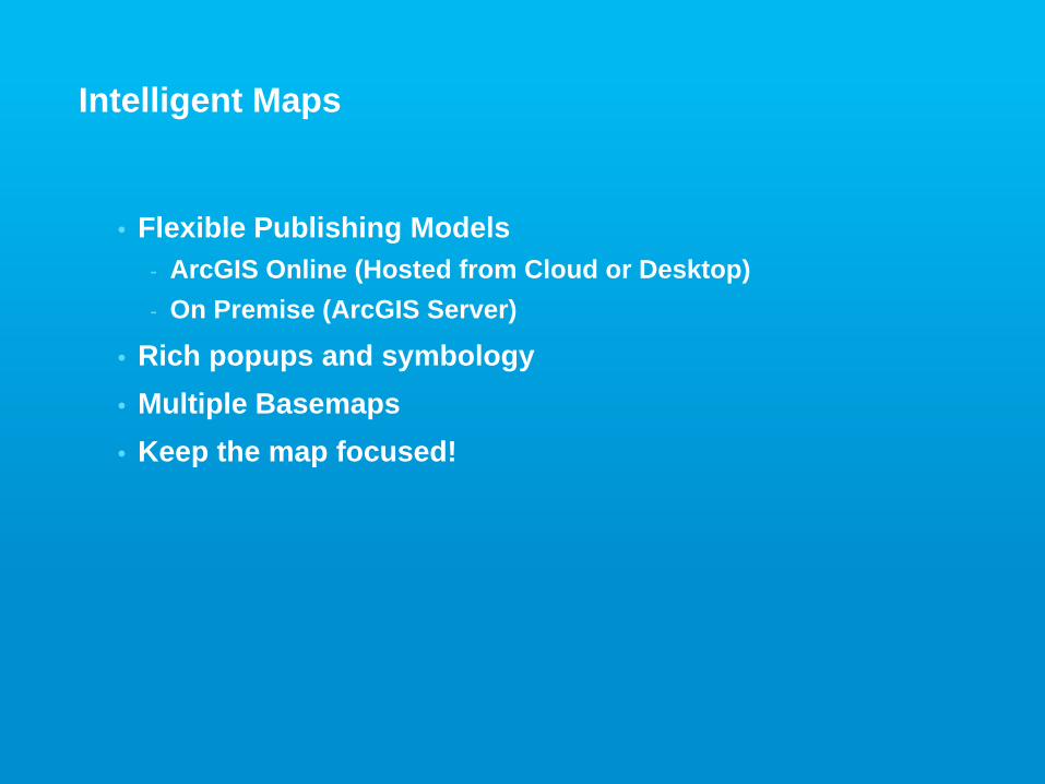
Intelligent Maps
• Flexible Publishing Models- ArcGIS Online (Hosted from Cloud or Desktop)- On Premise (ArcGIS Server)
• Rich popups and symbology• Multiple Basemaps • Keep the map focused!
Demo - Authoring Intelligent Maps
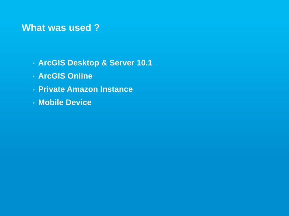
What was used ?
• ArcGIS Desktop & Server 10.1• ArcGIS Online• Private Amazon Instance• Mobile Device
Directing Users to your Maps
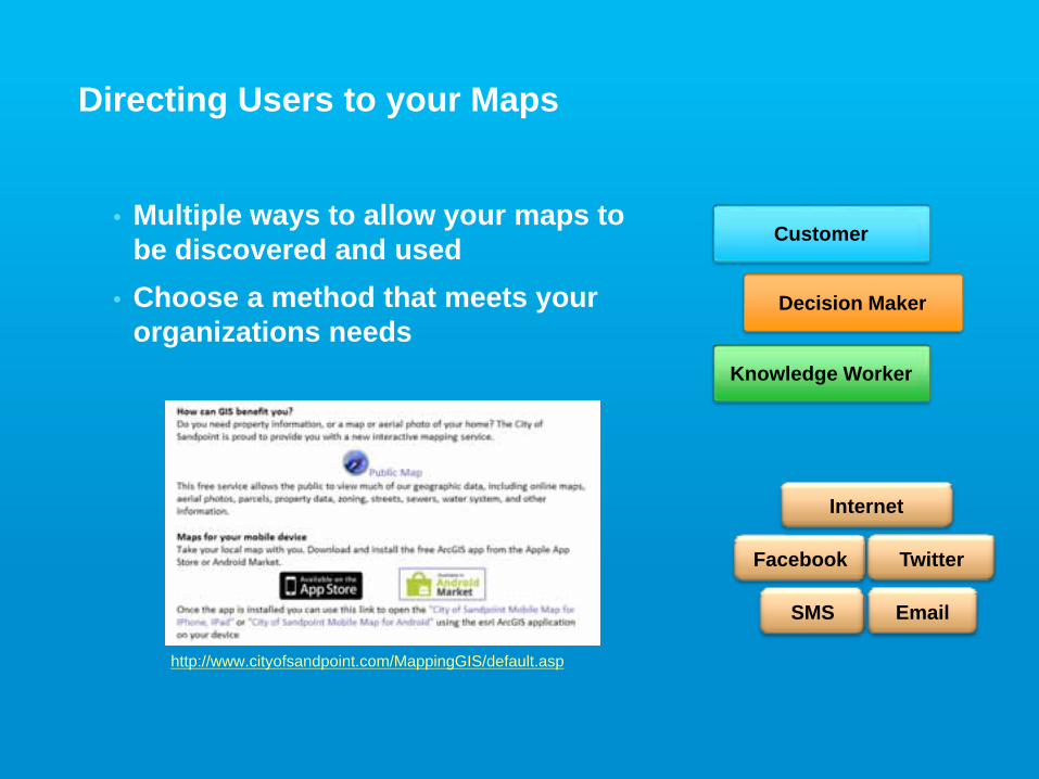
Directing Users to your Maps
Internet
SMS
Knowledge Worker
Decision Maker
Customer
• Multiple ways to allow your maps to be discovered and used
• Choose a method that meets your organizations needs
http://www.cityofsandpoint.com/MappingGIS/default.asp
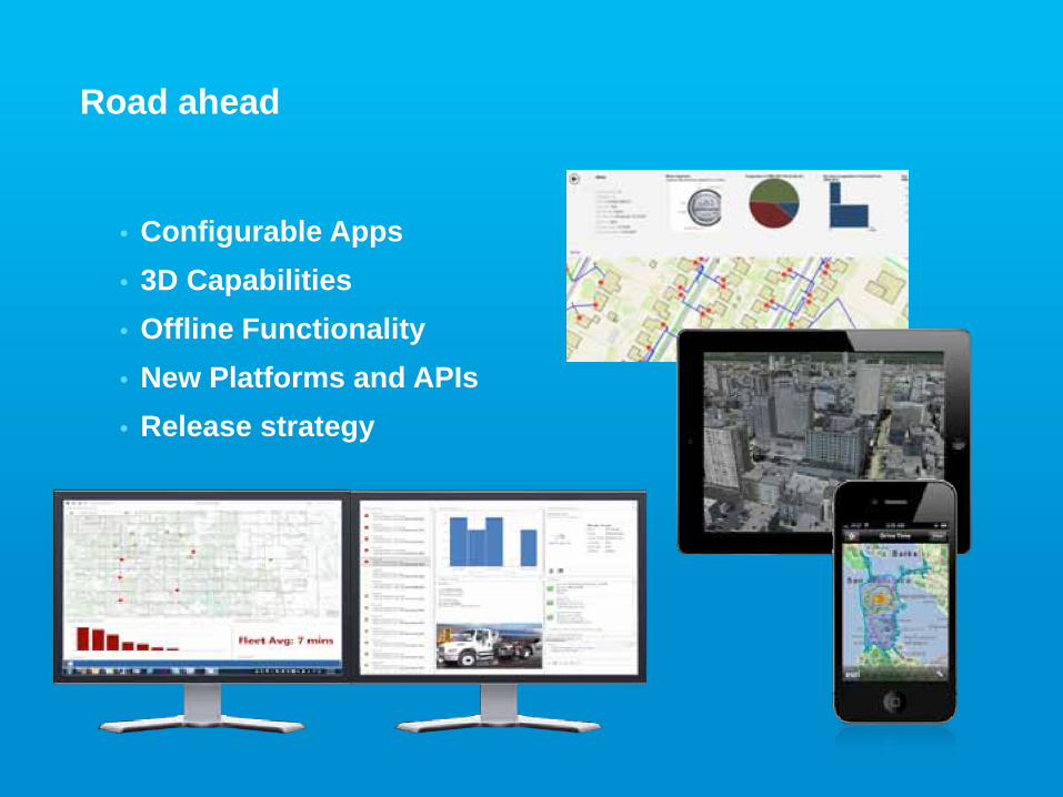
• Configurable Apps• 3D Capabilities• Offline Functionality• New Platforms and APIs• Release strategy
Road ahead
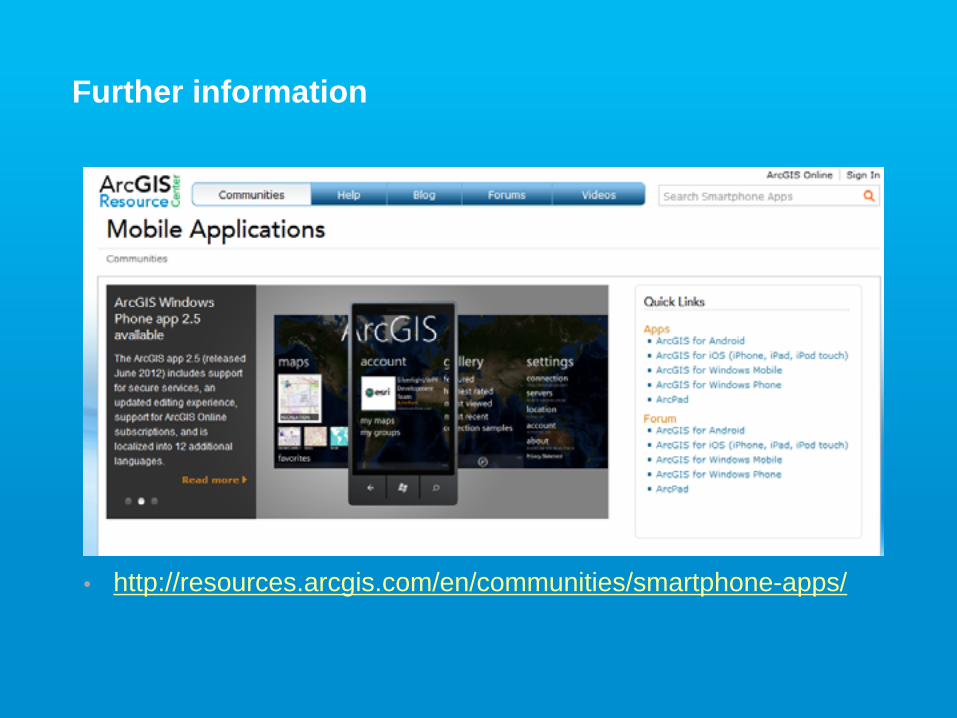
Further information
• http://resources.arcgis.com/en/communities/smartphone-apps/