arcgis tutorial - barnard college · arcgis tutorial. objectives 1. understand the main uses of gis...
TRANSCRIPT

source: radical cartography
ArcGIS TUTORIAL

OBJECTIVES
1. understand the main uses of GIS technologies, types of data involved, and ways the three dimensional world is projected onto two dimensional surfaces.
2. become familiar with GIS software.
3. become familiar with the basic conventions of map-making and map legibility.
4. learn to access, download and display spatial data.
5. learn basic analysis in ArcGIS, and how to export map layouts.

WHAT IS GIS? WHY IS IT USEFUL?
“Just as we use a word processor to write documents and deal with words on a computer, we can use a GIS application to deal with spatial information on a
computer. GIS stands for ‘Geographical Information System’.”
Different ways students use GIS data - environmental sciences, biology, sustainable development, urban studies, architecture, history, and economics.
First rule of geography:"Everything is related to everything else, but near things are more related than
distant things."

TYPES OF DATAVECTOR DATAread as a shapefile, .shpor a feature class in a .gdb
RASTER DATAcan be an image like a .tif,
or even a .jpg
TABULAR DATAexcel sheets, .csv,


PROJECTIONS + COORDINATE SYSTEMS
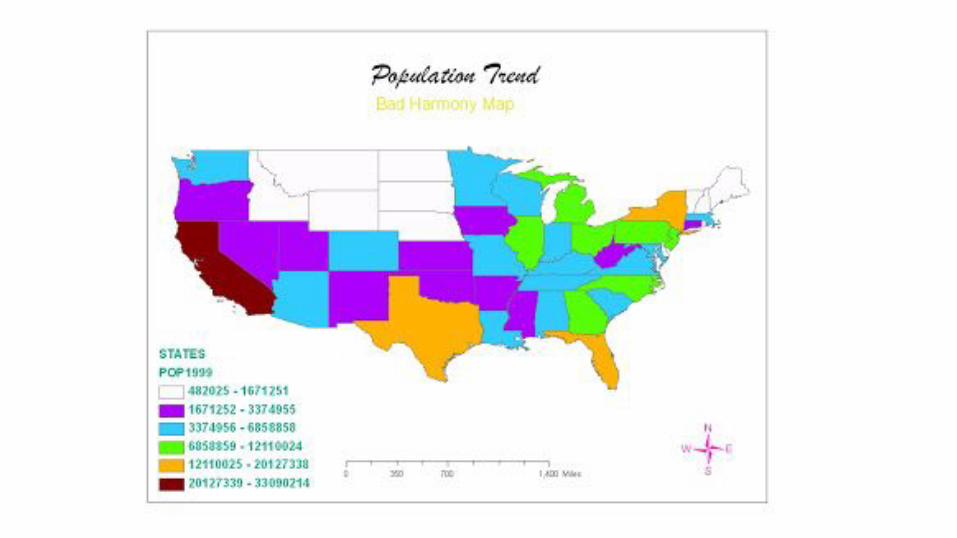

WHAT COMPONENTS MAKE A MAP?


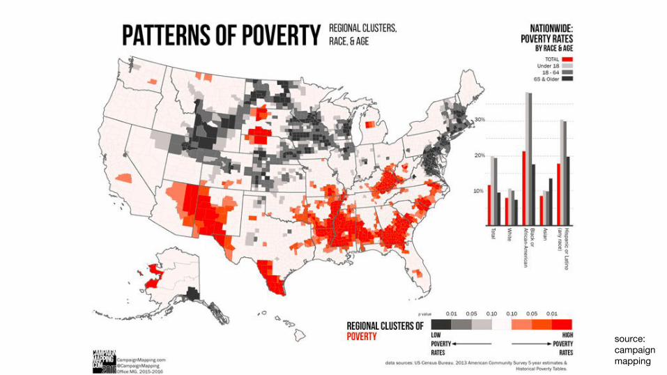
source: campaign mapping


TITLE - DESCRIPTIVE
DATA SOURCE
CLEAR LEGEND - WITH EXPLANATION
SCALE BAR - IN UNITS THAT MAKE SENSE]
NORTH ARROW - AT AN APPROPRIATE SIZE
PROPERLY PROJECTED MAP
ANY NECESSARY LABELS
MAP ELEMENTS
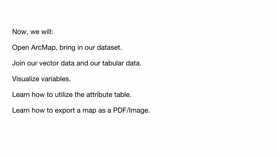
Now, we will:
Open ArcMap, bring in our dataset.
Join our vector data and our tabular data.
Visualize variables.
Learn how to utilize the attribute table.
Learn how to export a map as a PDF/Image.