astarte test site lyngen carl b. harbitz – ngi (adapted by alberto armigliato) astarte wp8 meeting...
TRANSCRIPT
ASTARTE test site LyngenCarl B. Harbitz – NGI(adapted by Alberto Armigliato)
ASTARTE WP8 MeetingBologna, 7 March 2014

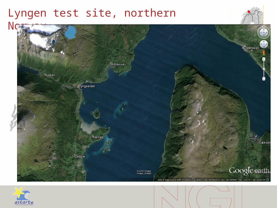
Lyngen test site, northern Norway

Lyngen test site, northern Norway • Potential rockslide from the mountain Nordnes,
7 km from the village Lyngseidet
• Volume estimate up to 22 Mm3
with 11 Mm3 as the most likely upper limit

1810 Rock slide tsunami from Pollfjellet Mountain
Among the largest rock slides in Norway2 km wide head scar, 20 km south of Nordnes
Waves observed more than 20 km awayin both directions3 large waves
2 m high waves in the head of the fjord
14 perished, large damages
Today: Road tunnel to protectsnow avalanches and rockfalls

Vulnerability and risk
• The Lyngen test site consists of several villages along the fjord based on fishery and local industry
• Total population 6000
• The ferries and the boats on the fjord, together with the road running along the shoreline, are the only alternatives for transport and travelling in the region
• The area is much visited by tourists

What has already been done by NGI?
• 3 reports on rockslide tsunamis in Lyngen • 2008, 2010, 2013• Updated volume estimates• Refined inundation modelling
• NGI’s results are the official ones used by the local authorities for evacuation and land-use planning, etc.

Description of the rockslide
Detailed geological
surveying for
slope stability analysis
«1a» ~ 7 Mm3
«2» ~ 11 Mm3
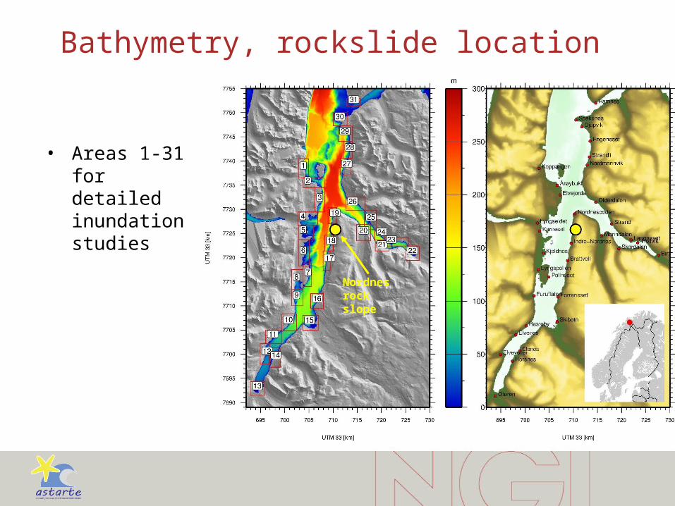
Bathymetry, rockslide location
• Areas 1-31 for detailed inundation studies
Nordnes rock slope

Official resultsUsed for evacuation and land-use planning, etc. (in pipeline)
Location NameRunup Arrival
DataMin [m] Max [m] [minutter]
1 Koppangen 2 7 5 G
2 Årøybukt 2 14 3 F
3 Elvejorda 5 36 2 F
4 Lyngseidet 6 33 2 F
5 Karnes 4 3 F
6 Kjeldnes 4 19 3 F
7 Pollneset 4 21 3 F
8 Lyngspollen 3 7 8 F
9 Furuflaten 4 11 7 F
10 Rasteby 3 8 8 F
11 Elvenes 2 6 10 F
12 Elvevollen 2 7 15 F
13 Oteren 2 6 24 G
14 Horsnes-Elsnes 3 6 13 F
15 Skibotn 3 10 9 F
16 Forraneset 3 15 5 F
17 Brattvoll 11 31 2 F
18 Indre-Nordnes 19 46 <1 G
19 Nordnesodden 14 46 <1 G
20 Manndalen 3 11 5 G
21 Skarvdalen 3 3 7 G
22 Birtavarre 3 6 12 F
23 Trollvik 3 4 8 F
24 Langneset-Strand 3 5 6 G
25 Strand 5 13 4 F
26 Olderdalen 6 17 3 G
27 Nordmannvik 3 17 4 F
28 Strandli-Engeneset 3 8 5 F
29 Djupvik 3 5 6 F
30 Spakenes 2 5 8 G
31 Hamnes 2 5 13 G
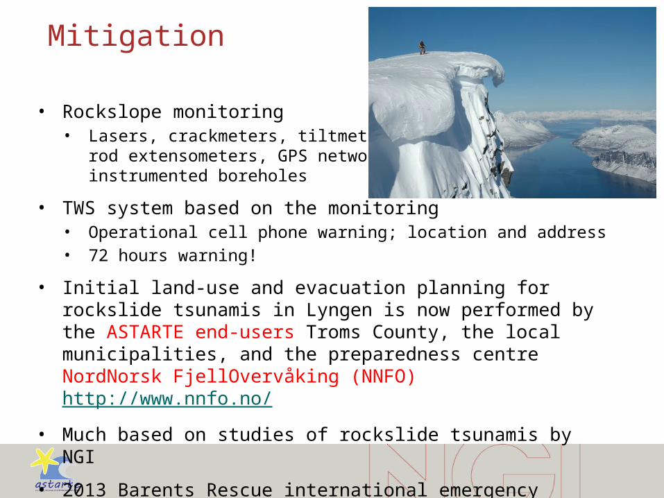
Mitigation
• Rockslope monitoring• Lasers, crackmeters, tiltmeters,
rod extensometers, GPS network, instrumented boreholes
• TWS system based on the monitoring• Operational cell phone warning; location and address• 72 hours warning!
• Initial land-use and evacuation planning for rockslide tsunamis in Lyngen is now performed by the ASTARTE end-users Troms County, the local municipalities, and the preparedness centre NordNorsk FjellOvervåking (NNFO) http://www.nnfo.no/
• Much based on studies of rockslide tsunamis by NGI
• 2013 Barents Rescue international emergency exercise
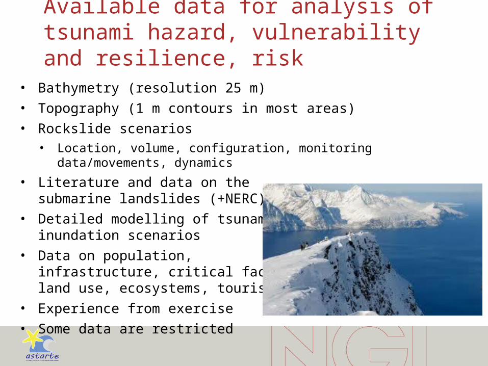
Available data for analysis of tsunami hazard, vulnerability and resilience, risk
• Bathymetry (resolution 25 m)
• Topography (1 m contours in most areas)
• Rockslide scenarios• Location, volume, configuration, monitoring data/movements, dynamics
• Literature and data on the submarine landslides (+NERC)
• Detailed modelling of tsunami inundation scenarios
• Data on population, infrastructure, critical facilities, land use, ecosystems, tourism, etc.
• Experience from exercise
• Some data are restricted
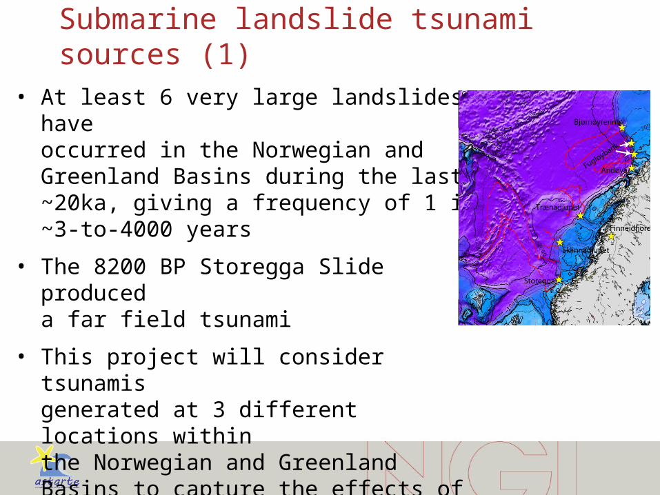
Submarine landslide tsunami sources (1)• At least 6 very large landslides have
occurred in the Norwegian and Greenland Basins during the last ~20ka, giving a frequency of 1 in ~3-to-4000 years
• The 8200 BP Storegga Slide produced a far field tsunami
• This project will consider tsunamis generated at 3 different locations within the Norwegian and Greenland Basins to capture the effects of variable source location

Submarine landslide tsunami sources (2)
• Modelling will consider a range of landslide motions, including how multi-stage failure affects tsunami generation
• Slide motion will be informed by field studies of the Trænadjupet Slide, which is the last major slide at ~4 ka.
• This work will extend from a £2.3 Million UK (NERC) funded research project, which includes a 1 month research cruise to map and date the Trænadjupet Slide in summer 2014
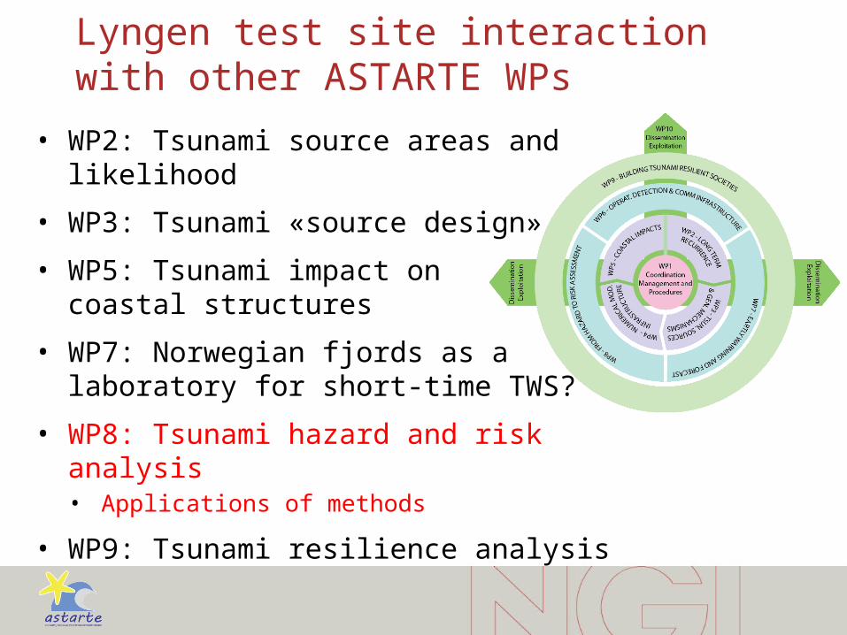
Lyngen test site interaction with other ASTARTE WPs
• WP2: Tsunami source areas and likelihood
• WP3: Tsunami «source design»
• WP5: Tsunami impact on coastal structures
• WP7: Norwegian fjords as a laboratory for short-time TWS?
• WP8: Tsunami hazard and risk analysis• Applications of methods
• WP9: Tsunami resilience analysis

The EU FP7 CONCERT-Japan RAPSODI project:Risk Assessment and design of Prevention Structures fOr enhanced tsunami DIsaster resilience (2013-2015)
1. Establish a new method for quantitative tsunami risk assessment
2. Design of novel mitigation measures
3. Cooperation and exchange of knowledge
Partners:
NGI, Norway – PARI, Japan – METU, Turkey – TU-BS, Germany
http://www.ngi.no/en/Project-pages/RAPSODI/
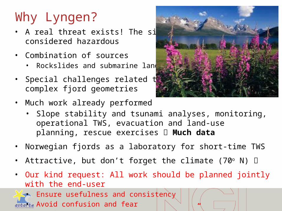
Why Lyngen?• A real threat exists! The situation is
considered hazardous
• Combination of sources• Rockslides and submarine landslides
• Special challenges related to complex fjord geometries
• Much work already performed• Slope stability and tsunami analyses, monitoring, operational TWS,
evacuation and land-use planning, rescue exercises Much data
• Norwegian fjords as a laboratory for short-time TWS
• Attractive, but don’t forget the climate (70o N)
• Our kind request: All work should be planned jointly with the end-user• Ensure usefulness and consistency• Avoid confusion and fear• Joint workshop for “Lyngen partners”
Thank you

What has already been done by NGI?
• 2008: NGI report 20071677-1, run-up based on amplification factors. Volumes 7 og 11 Mm3
• 2010: NGI report 20100617-00-1-R, suggesting areas to be included for refined run-up modelling. Volume 22Mm3.
• 2013: NGI report 20130206-01-R, hazard zoning by using run-up model («MOST»).
• NGI’s results are the official ones.
• The set of numerical models at NGI were improved during the last ten years (generation, propagation and run-up)