bioengineering slope stabilization techniques …
TRANSCRIPT
US Army Corpsof EngineersNew York District
2005 Tri2005 Tri--Service Infrastructure Systems ConferenceService Infrastructure Systems Conference“Re“Re--energizing Engineering Excellence”energizing Engineering Excellence”
BIOENGINEERING SLOPE STABILIZATION TECHNIQUESCOUPLED WITH TRADITIONAL ENGINEERING
APPLICATIONS –
THE RESULT IS A STABLE SLOPE
Waterbury Dam MitigationThursday August 4th, 2005
St. Louis, Missouri
Presented By: Ms. Bethany Bearmore

US Army Corpsof EngineersNew York District
Waterbury Dam MitigationWaterbury Dam Mitigation
The objective of the project is to improve the water qualityin the Waterbury Reservoir and Little River by
implementing shoreline stabilization measures that reducethe sediment yield.
US Army Corpsof EngineersNew York District
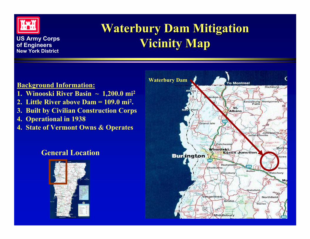
Waterbury Dam MitigationWaterbury Dam MitigationVicinity MapVicinity Map
General Location
Waterbury DamBackground Information:1. Winooski River Basin ~ 1,200.0 mi2
2. Little River above Dam = 109.0 mi2.3. Built by Civilian Construction Corps4. Operational in 19384. State of Vermont Owns & Operates
US Army Corpsof EngineersNew York District
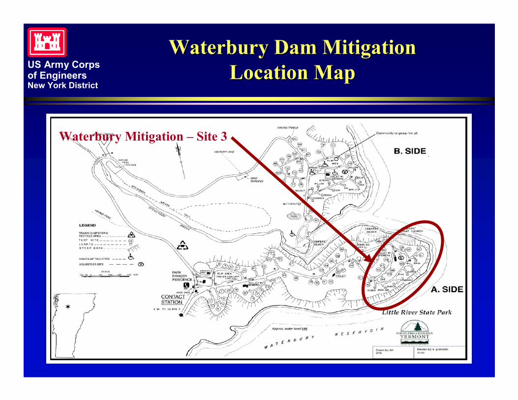
Waterbury Dam MitigationWaterbury Dam MitigationLocation MapLocation Map
Waterbury Mitigation – Site 3
US Army Corpsof EngineersNew York District
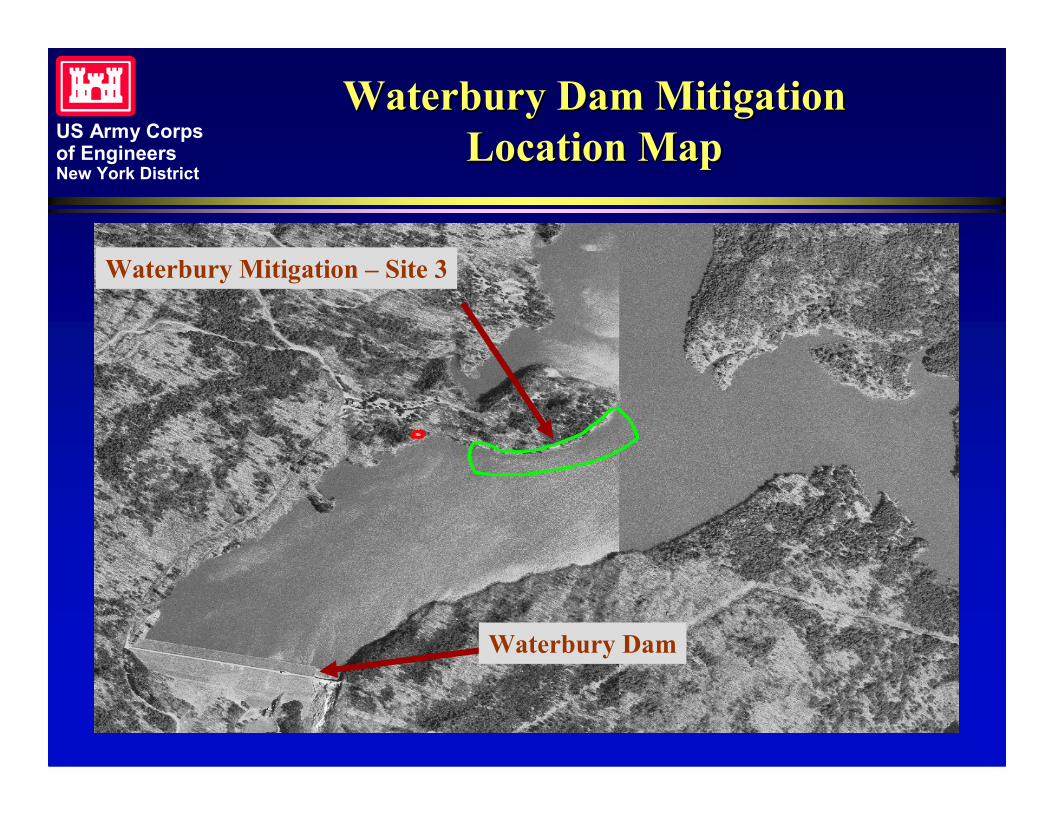
Waterbury Dam MitigationWaterbury Dam MitigationLocation MapLocation Map
Waterbury Mitigation – Site 3
Waterbury Dam
US Army Corpsof EngineersNew York District
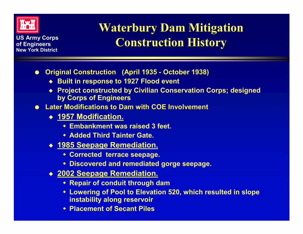
Waterbury Dam MitigationWaterbury Dam MitigationConstruction HistoryConstruction History
�� Original Construction (April 1935Original Construction (April 1935 -- October 1938)October 1938)� Built in response to 1927 Flood event� Project constructed by Civilian Conservation Corps; designed
by Corps of Engineers�� Later Modifications to Dam with COE InvolvementLater Modifications to Dam with COE Involvement
� 1957 Modification.� Embankment was raised 3 feet.� Added Third Tainter Gate.
� 1985 Seepage Remediation.� Corrected terrace seepage.� Discovered and remediated gorge seepage.
� 2002 Seepage Remediation.� Repair of conduit through dam� Lowering of Pool to Elevation 520, which resulted in slope
instability along reservoir� Placement of Secant Piles
US Army Corpsof EngineersNew York District
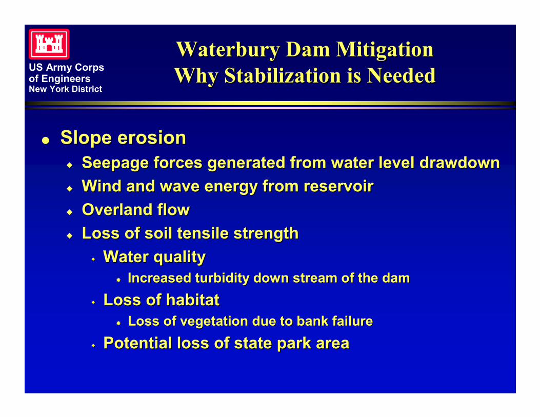
Waterbury Dam MitigationWaterbury Dam MitigationWhy Stabilization is NeededWhy Stabilization is Needed
�� Slope erosionSlope erosion�� Seepage forces generated from water level drawdownSeepage forces generated from water level drawdown�� Wind and wave energy from reservoirWind and wave energy from reservoir�� Overland flowOverland flow�� Loss of soil tensile strengthLoss of soil tensile strength
�� Water qualityWater quality�� Increased turbidity down stream of the damIncreased turbidity down stream of the dam
�� Loss of habitatLoss of habitat�� Loss of vegetation due to bank failureLoss of vegetation due to bank failure
�� Potential loss of state park areaPotential loss of state park area
US Army Corpsof EngineersNew York District
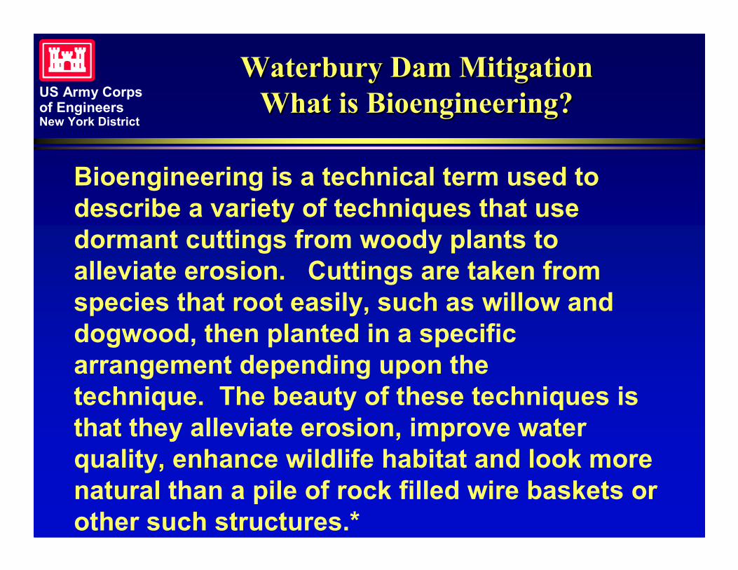
Waterbury Dam MitigationWaterbury Dam MitigationWhat is Bioengineering?What is Bioengineering?
Bioengineering is a technical term used todescribe a variety of techniques that usedormant cuttings from woody plants toalleviate erosion. Cuttings are taken fromspecies that root easily, such as willow anddogwood, then planted in a specificarrangement depending upon thetechnique. The beauty of these techniques isthat they alleviate erosion, improve waterquality, enhance wildlife habitat and look morenatural than a pile of rock filled wire baskets orother such structures.*
US Army Corpsof EngineersNew York District
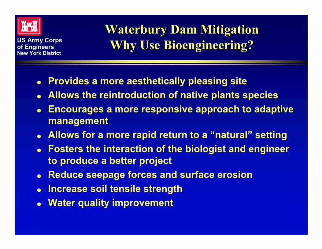
Waterbury Dam MitigationWaterbury Dam MitigationWhy Use Bioengineering?Why Use Bioengineering?
� Provides a more aesthetically pleasing site� Allows the reintroduction of native plants species� Encourages a more responsive approach to adaptive
management� Allows for a more rapid return to a “natural” setting� Fosters the interaction of the biologist and engineer
to produce a better project� Reduce seepage forces and surface erosion� Increase soil tensile strength� Water quality improvement
US Army Corpsof EngineersNew York District
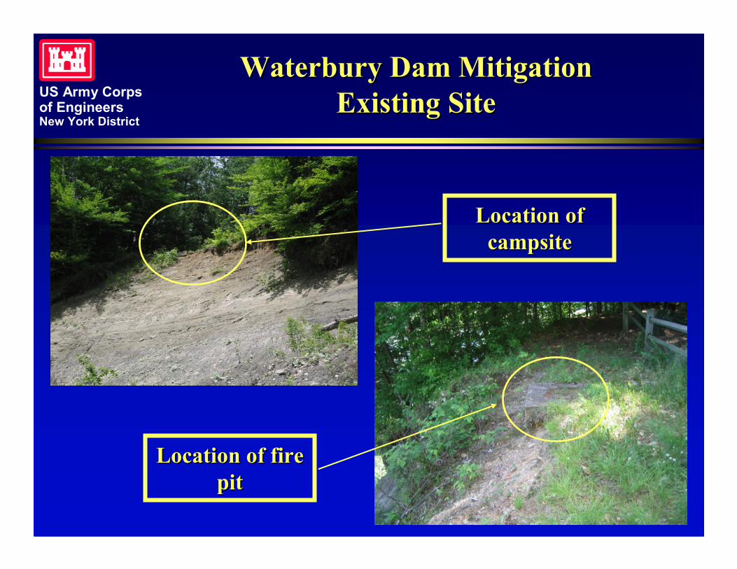
Waterbury Dam MitigationWaterbury Dam MitigationExisting SiteExisting Site
Location ofLocation ofcampsitecampsite
Location of fireLocation of firepitpit
US Army Corpsof EngineersNew York District
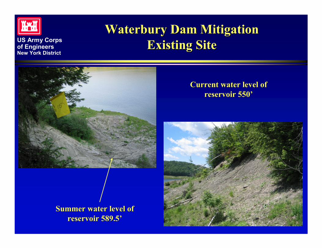
Waterbury Dam MitigationWaterbury Dam MitigationExisting SiteExisting Site
Current water level ofCurrent water level ofreservoir 550’reservoir 550’
Summer water level ofSummer water level ofreservoir 589.5’reservoir 589.5’
US Army Corpsof EngineersNew York District
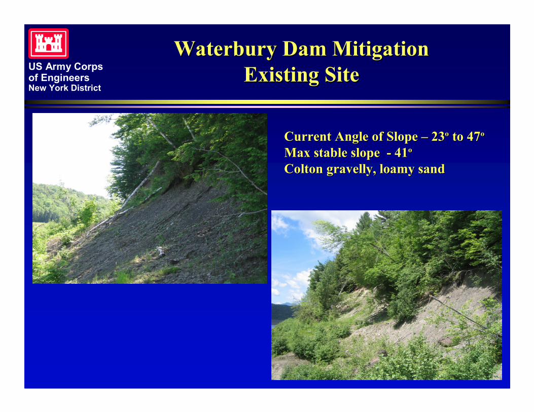
Waterbury Dam MitigationWaterbury Dam MitigationExisting SiteExisting Site
Current Angle of SlopeCurrent Angle of Slope –– 2323ºº to 47to 47ººMax stable slopeMax stable slope -- 4141ººColton gravelly, loamy sandColton gravelly, loamy sand
US Army Corpsof EngineersNew York District
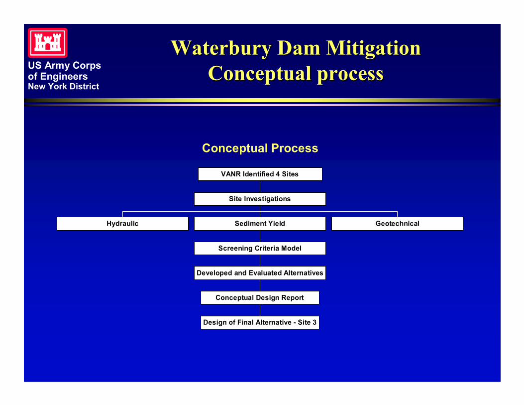
Waterbury Dam MitigationWaterbury Dam MitigationConceptual processConceptual process
Conceptual Process
Hydraulic
Design of Final Alternative - Site 3
Conceptual Design Report
Developed and Evaluated Alternatives
Screening Criteria Model
Sediment Yield Geotechnical
Site Investigations
VANR Identified 4 Sites
US Army Corpsof EngineersNew York District
Waterbury Dam MitigationWaterbury Dam MitigationDesign of Final AlternativeDesign of Final Alternative
� Three Components to the final design
� Toe Protection
� Transition Zone
� Upland Slope
US Army Corpsof EngineersNew York District
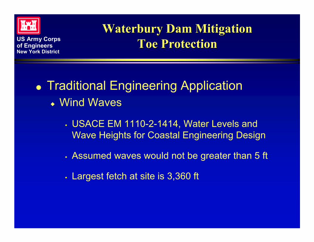
Waterbury Dam MitigationWaterbury Dam MitigationToe ProtectionToe Protection
� Traditional Engineering Application� Wind Waves
� USACE EM 1110-2-1414, Water Levels andWave Heights for Coastal Engineering Design
� Assumed waves would not be greater than 5 ft
� Largest fetch at site is 3,360 ft
US Army Corpsof EngineersNew York District
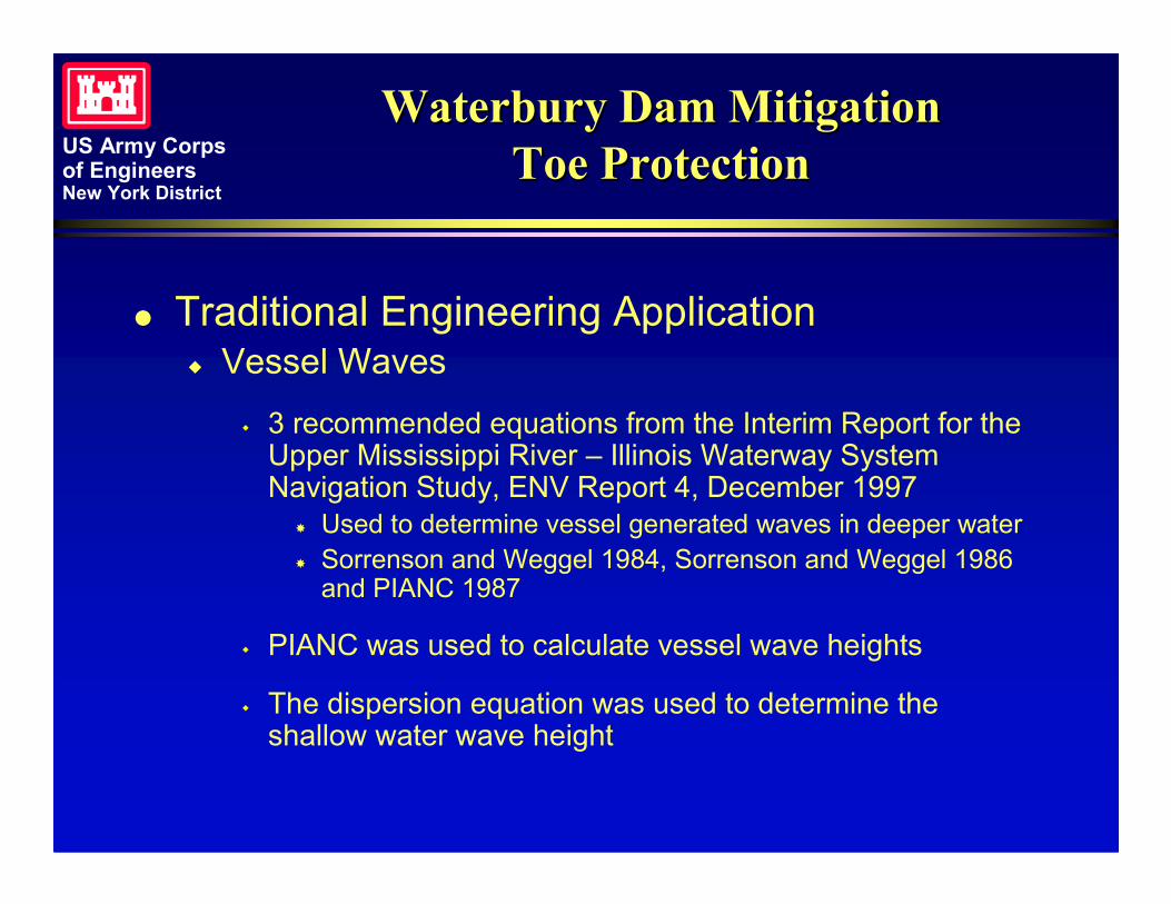
Waterbury Dam MitigationWaterbury Dam MitigationToe ProtectionToe Protection
� Traditional Engineering Application� Vessel Waves
� 3 recommended equations from the Interim Report for theUpper Mississippi River – Illinois Waterway SystemNavigation Study, ENV Report 4, December 1997
� Used to determine vessel generated waves in deeper water� Sorrenson and Weggel 1984, Sorrenson and Weggel 1986
and PIANC 1987
� PIANC was used to calculate vessel wave heights
� The dispersion equation was used to determine theshallow water wave height
US Army Corpsof EngineersNew York District
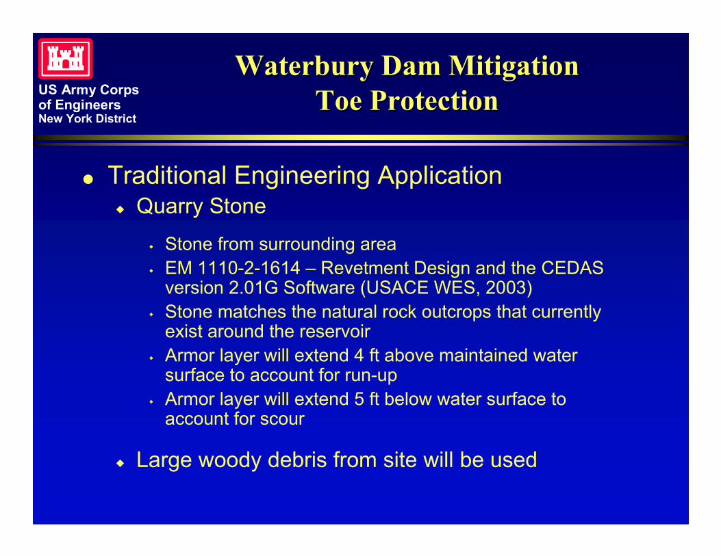
Waterbury Dam MitigationWaterbury Dam MitigationToe ProtectionToe Protection
� Traditional Engineering Application� Quarry Stone
� Stone from surrounding area� EM 1110-2-1614 – Revetment Design and the CEDAS
version 2.01G Software (USACE WES, 2003)� Stone matches the natural rock outcrops that currently
exist around the reservoir� Armor layer will extend 4 ft above maintained water
surface to account for run-up� Armor layer will extend 5 ft below water surface to
account for scour
� Large woody debris from site will be used
US Army Corpsof EngineersNew York District
Waterbury Dam MitigationWaterbury Dam MitigationToe ProtectionToe Protection
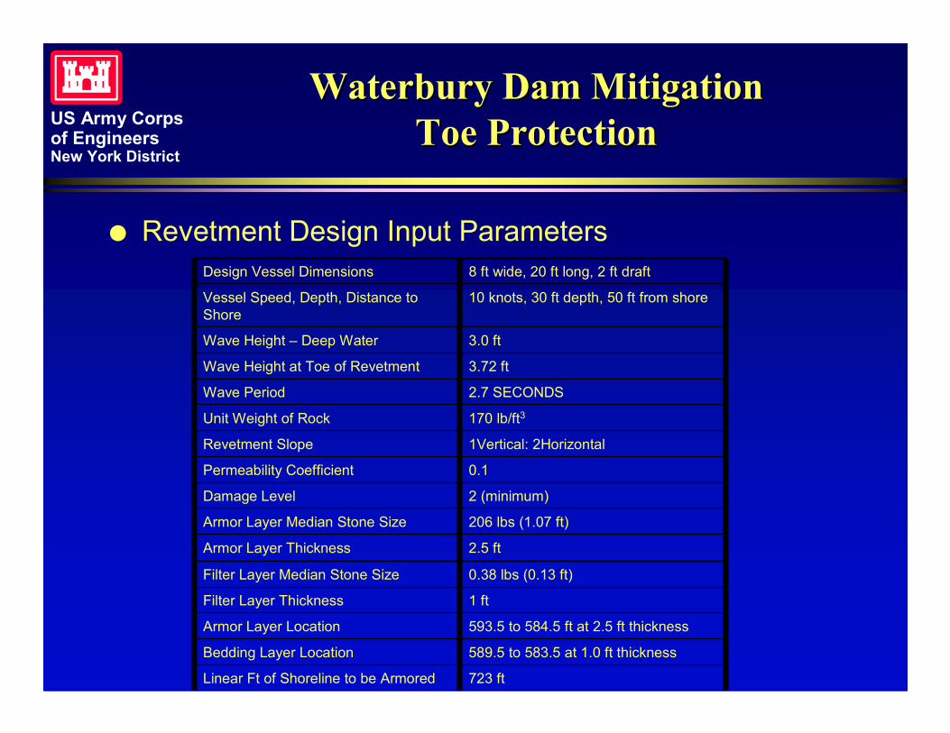
� Revetment Design Input Parameters
723 ftLinear Ft of Shoreline to be Armored
589.5 to 583.5 at 1.0 ft thicknessBedding Layer Location
593.5 to 584.5 ft at 2.5 ft thicknessArmor Layer Location
1 ftFilter Layer Thickness
0.38 lbs (0.13 ft)Filter Layer Median Stone Size
2.5 ftArmor Layer Thickness
206 lbs (1.07 ft)Armor Layer Median Stone Size
2 (minimum)Damage Level
0.1Permeability Coefficient
1Vertical: 2HorizontalRevetment Slope
170 lb/ft3Unit Weight of Rock
2.7 SECONDSWave Period
3.72 ftWave Height at Toe of Revetment
3.0 ftWave Height – Deep Water
10 knots, 30 ft depth, 50 ft from shoreVessel Speed, Depth, Distance toShore
8 ft wide, 20 ft long, 2 ft draftDesign Vessel Dimensions
US Army Corpsof EngineersNew York District
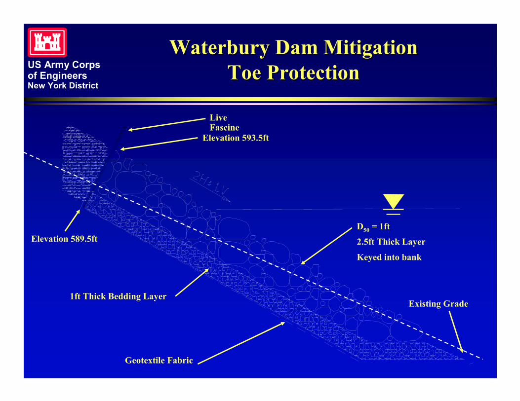
Waterbury Dam MitigationWaterbury Dam MitigationToe ProtectionToe Protection
D50 = 1ft
2.5ft Thick Layer
Keyed into bank
Geotextile Fabric
1ft Thick Bedding Layer
Elevation 593.5ft
Elevation 589.5ft
Existing Grade
LiveFascine
US Army Corpsof EngineersNew York District
Waterbury Dam MitigationWaterbury Dam MitigationTransition ZoneTransition Zone
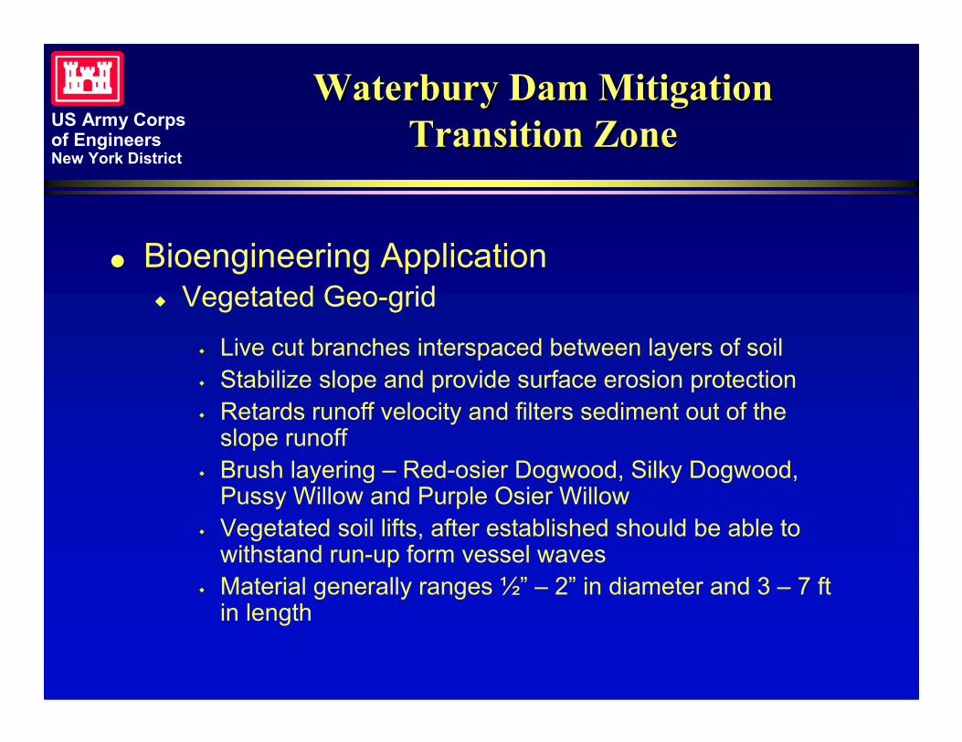
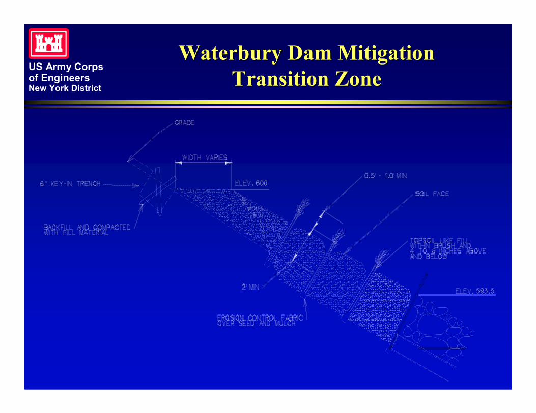
� Bioengineering Application� Vegetated Geo-grid
� Live cut branches interspaced between layers of soil� Stabilize slope and provide surface erosion protection� Retards runoff velocity and filters sediment out of the
slope runoff� Brush layering – Red-osier Dogwood, Silky Dogwood,
Pussy Willow and Purple Osier Willow� Vegetated soil lifts, after established should be able to
withstand run-up form vessel waves� Material generally ranges ½” – 2” in diameter and 3 – 7 ft
in length
US Army Corpsof EngineersNew York District
Waterbury Dam MitigationWaterbury Dam MitigationTransition ZoneTransition Zone
US Army Corpsof EngineersNew York District
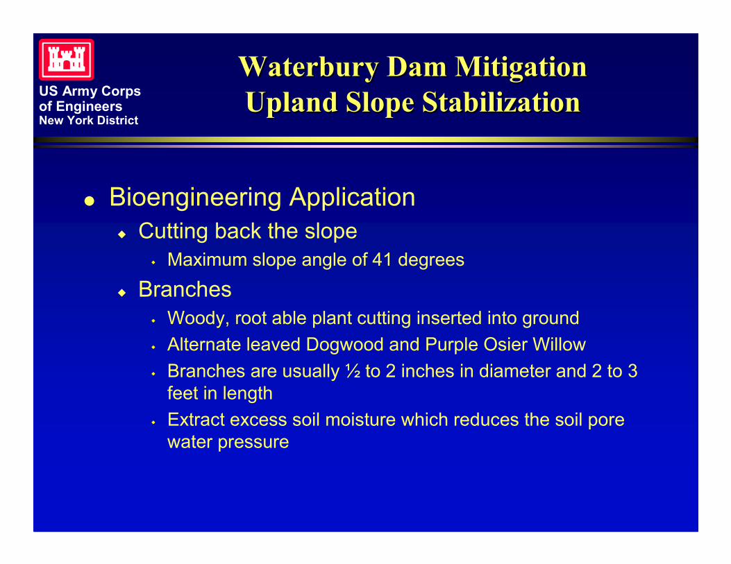
Waterbury Dam MitigationWaterbury Dam MitigationUpland Slope StabilizationUpland Slope Stabilization
� Bioengineering Application� Cutting back the slope
� Maximum slope angle of 41 degrees
� Branches� Woody, root able plant cutting inserted into ground� Alternate leaved Dogwood and Purple Osier Willow� Branches are usually ½ to 2 inches in diameter and 2 to 3
feet in length� Extract excess soil moisture which reduces the soil pore
water pressure
US Army Corpsof EngineersNew York District
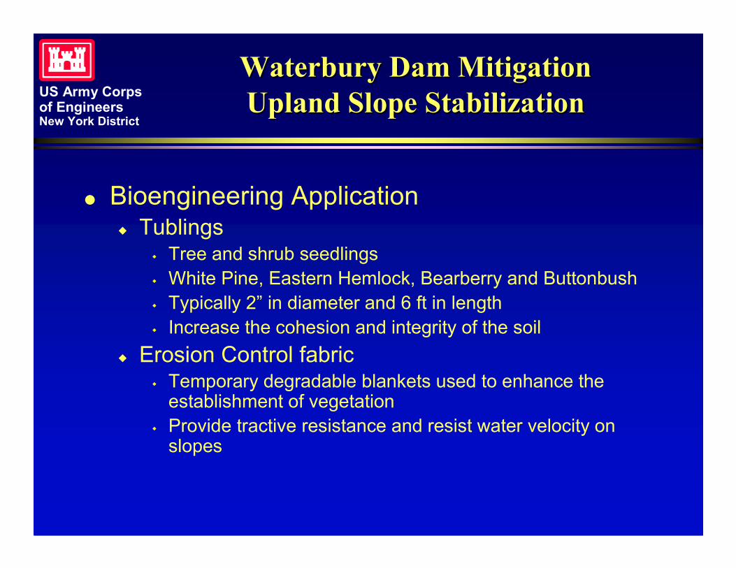
Waterbury Dam MitigationWaterbury Dam MitigationUpland Slope StabilizationUpland Slope Stabilization
� Bioengineering Application� Tublings
� Tree and shrub seedlings� White Pine, Eastern Hemlock, Bearberry and Buttonbush� Typically 2” in diameter and 6 ft in length� Increase the cohesion and integrity of the soil
� Erosion Control fabric� Temporary degradable blankets used to enhance the
establishment of vegetation� Provide tractive resistance and resist water velocity on
slopes

US Army Corpsof EngineersNew York District
Waterbury Dam MitigationWaterbury Dam MitigationUpland Slope StabilizationUpland Slope Stabilization
Tree Tubling planted in soil
Branches keyed into bank 5’ O.C.
Erosion Control Fabric
Existing Grade
Proposed Grade
Key-in Trench
Key-in Trench
US Army Corpsof EngineersNew York District
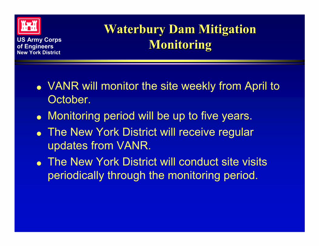
Waterbury Dam MitigationWaterbury Dam MitigationMonitoringMonitoring
� VANR will monitor the site weekly from April toOctober.
� Monitoring period will be up to five years.� The New York District will receive regular
updates from VANR.� The New York District will conduct site visits
periodically through the monitoring period.

US Army Corpsof EngineersNew York District
Waterbury Dam MitigationWaterbury Dam MitigationConclusionConclusion
The USACE - New York District was able to work effectively with theVermont Agency of Natural Resources (VANR) to promotebioengineering as a significant part of the mitigation. This “marriage”of bioengineering and traditional slope stabilization techniques hadnot been utilized by the New York District before this project andthis project provided an opportunity to incorporate theEnvironmental Operating Principles into the project. The finalmitigation design is a combination of bioengineering techniques forthe slope stabilization and the placement of riprap for toe protectionagainst wind and vessel waves.•Costs for the project
–Total Project Cost = $572,000•Toe Protection = $201,000
•Transition Zone = $74,000
•Upland Planting = $245,000
•Other = $52,000
US Army Corpsof EngineersNew York District
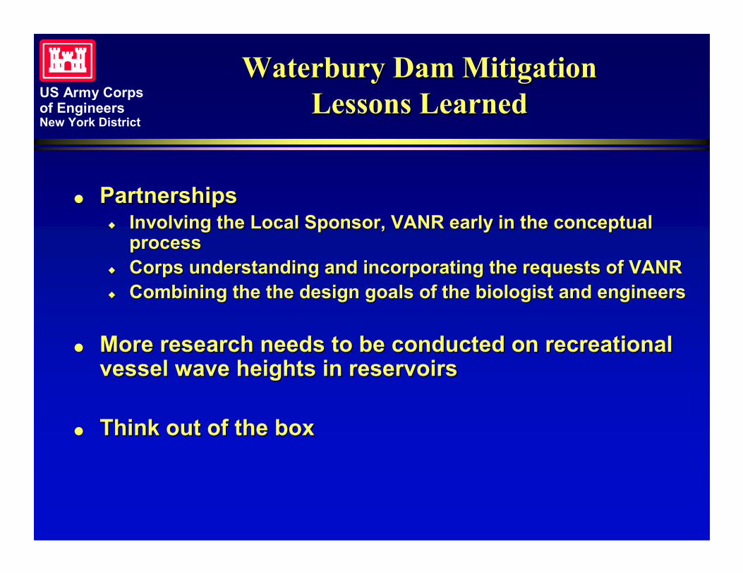
Waterbury Dam MitigationWaterbury Dam MitigationLessons LearnedLessons Learned
�� PartnershipsPartnerships�� Involving the Local Sponsor, VANR early in the conceptualInvolving the Local Sponsor, VANR early in the conceptual
processprocess�� Corps understanding and incorporating the requests of VANRCorps understanding and incorporating the requests of VANR�� Combining the the design goals of the biologist and engineersCombining the the design goals of the biologist and engineers
�� More research needs to be conducted on recreationalMore research needs to be conducted on recreationalvessel wave heights in reservoirsvessel wave heights in reservoirs
�� Think out of the boxThink out of the box
US Army Corpsof EngineersNew York District
Waterbury Dam MitigationWaterbury Dam MitigationTeam MembersTeam Members
� Army Corps of Engineers – New York District� Paul Tumminello – Project Manager� Marty Goff – Project Engineer� Kerry Anne Donohue – Design Engineer� Bethany Bearmore – Design Engineer� Kimberly Rightler – Biologist� Emily Eng – Cost Engineer� Kevin Meranda - Constructability
� Vermont Agency of Natural Resources� Brian Fitzgerald – Hydrologist� Susan Warren – Biologist� Susan Baulmer – Parks
� Army Corps of Engineers – New England District� Kate Atwood – Cultural Resources
� A/E� Northern Ecological Associates
US Army Corpsof EngineersNew York District
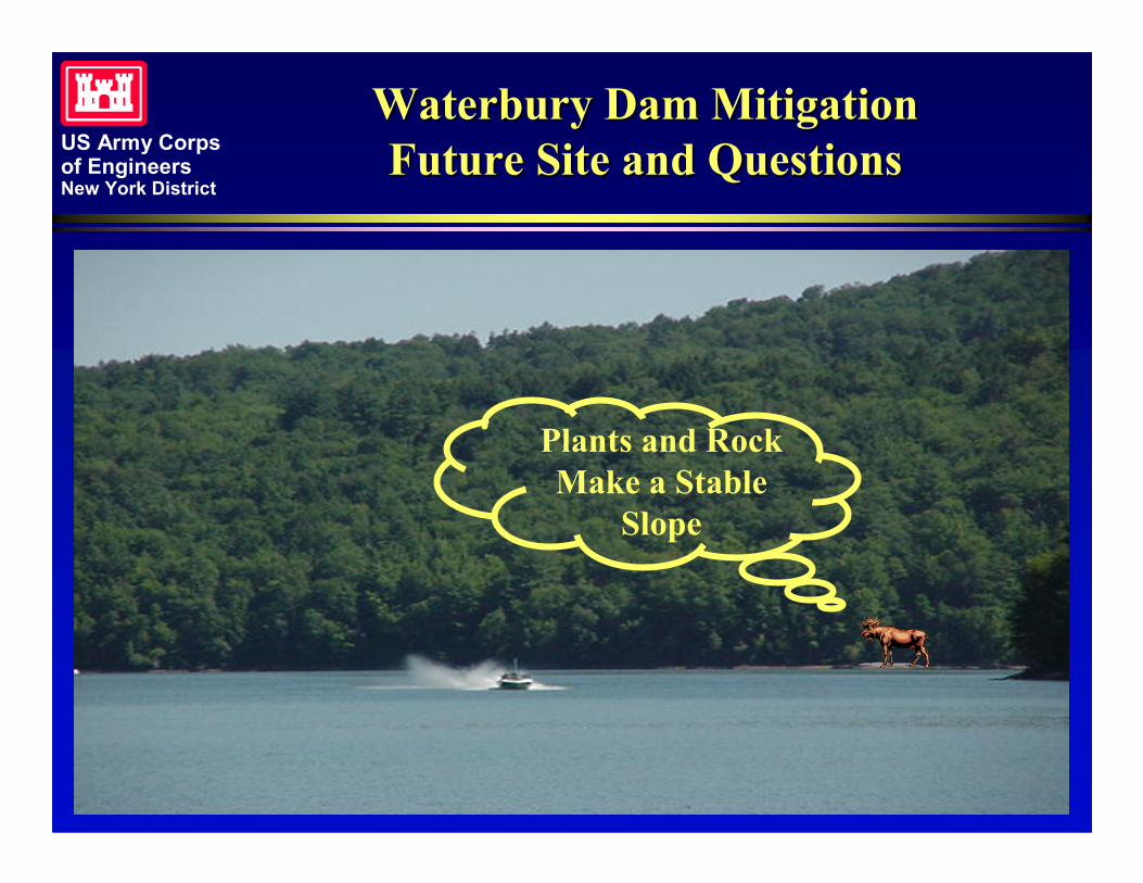
Waterbury Dam MitigationWaterbury Dam MitigationFuture Site and QuestionsFuture Site and Questions
Plants and RockMake a Stable
Slope