california regional pm10/pm2.5 air quality study: update
DESCRIPTION
California Regional PM10/PM2.5 Air Quality Study: Update. March 17, 1999 Air & Waste Management Association Conference. Motivation for Study. SJV currently violates both the 24-hour and annual standards for PM10 and PM2.5 Exceedances occur at both rural and urban sites - PowerPoint PPT PresentationTRANSCRIPT
California Regional PM10/PM2.5 Air Quality Study:
Update
California Regional PM10/PM2.5 Air Quality Study:
Update
March 17, 1999Air & Waste Management Association Conference

Motivation for StudyMotivation for Study
SJV currently violates both the 24-hour and annual standards for PM10 and PM2.5
Exceedances occur at both rural and urban sites
Exceedances of the PM10 and PM2.5 standards can occur at any time of year, but are most common during the fall and winter months

Study ObjectivesStudy Objectives
Provide an improved understanding of the nature and causes of high particulate matter concentrations in Central California
Develop tools useful to decision-makers in evaluating alternative control strategies
Understand linkages between particulate matter and other pollutants

Key Questions To Be AddressedKey Questions To Be Addressed
What are the specific sources which are contributing to PM exceedances?
Are exceedances local or regional in nature, or a combination of both?
Which PM components should controls be focused on?
Will the same strategies be effective for both the annual and the 24-hour standards?

Study SponsorsStudy Sponsors
Federal Government EPA, DOD, USDA, DOT, DOI, DOE
State Government ARB, CEC
Local Government SJVUAPCD, Counties, Cities, BAAQMD
Private Sector Oil, Utilities, Agriculture

Study Funding BreakdownStudy Funding Breakdown
FederalGovernment
($15.9 million)
StateGovernment($5.0 million)
Local Government($4.5 million)
Private Sector ($2.1 million)
Total Study Budget: $27.5 million

Study ComponentsStudy Components
93 94 95 96 97 98 99 00 01 02
Planning
1995 Integrated
Monitoring Study
Field Studies
Modeling & Analysis

Planning Work ElementsPlanning Work Elements
Work Element Completion
Scoping Study 1993
Historical Data Analysis 1997
Historical Modeling 1997
Technical Support Studies 1998
Preliminary Field Program 1998
Protocol Documents 1998
USDA Research ongoing

1995 Integrated Monitoring Study1995 Integrated Monitoring Study
Preliminary field monitoring program conducted during the fall and winter of 1995/1996
Focused on the central and southern San Joaquin Valley
Designed to provide both information to better plan future field monitoring and interim products

© 1993 DeLorme Mapping © 1993 DeLorme Mapping © 1993 DeLorme Mapping © 1993 DeLorme Mapping © 1993 DeLorme Mapping © 1993 DeLorme Mapping © 1993 DeLorme Mapping © 1993 DeLorme Mapping © 1993 DeLorme Mapping
TulareTulareTulareTulareTulareTulareTulareTulareTulare
ExeterExeterExeterExeterExeterExeterExeterExeterExeter
HanfordHanfordHanfordHanfordHanfordHanfordHanfordHanfordHanford
ArmonaArmonaArmonaArmonaArmonaArmonaArmonaArmonaArmona
LemooreLemooreLemooreLemooreLemooreLemooreLemooreLemooreLemooreFarmersvilleFarmersvilleFarmersvilleFarmersvilleFarmersvilleFarmersvilleFarmersvilleFarmersvilleFarmersville
VisaliaVisaliaVisaliaVisaliaVisaliaVisaliaVisaliaVisaliaVisalia
CorcoranCorcoranCorcoranCorcoranCorcoranCorcoranCorcoranCorcoranCorcoran
PixleyPixleyPixleyPixleyPixleyPixleyPixleyPixleyPixley
Tulare Lake Bed Tulare Lake Bed Tulare Lake Bed Tulare Lake Bed Tulare Lake Bed Tulare Lake Bed Tulare Lake Bed Tulare Lake Bed Tulare Lake Bed
© 1993 DeLorme Mapping © 1993 DeLorme Mapping © 1993 DeLorme Mapping © 1993 DeLorme Mapping © 1993 DeLorme Mapping © 1993 DeLorme Mapping © 1993 DeLorme Mapping © 1993 DeLorme Mapping © 1993 DeLorme Mapping
1995 Integrated Monitoring Study Fall Monitoring Domain

1995 Integrated Monitoring Study - Fall Corcoran Saturation Sites: November 14, 1995 Source Contributions
0
50
100
150
200
250
300C
03
C0
9
C11
C1
3
C2
0
C0
5
C0
6
C1
5
C1
9
CO
V
C0
8
So
urc
e C
on
trib
uti
on
(u
g/m
3)
Other
Geological
Excess OC
Mobile
Burning
AmmoniumSulfate
AmmoniumNitrate
Agricultural Industrial Residential

1995 Integrated Monitoring Study Winter Monitoring Domain
© 1993 DeLorme Mapping © 1993 DeLorme Mapping © 1993 DeLorme Mapping © 1993 DeLorme Mapping © 1993 DeLorme Mapping © 1993 DeLorme Mapping © 1993 DeLorme Mapping © 1993 DeLorme Mapping © 1993 DeLorme Mapping
San JoseSan JoseSan JoseSan JoseSan JoseSan JoseSan JoseSan JoseSan Jose
FresnoFresnoFresnoFresnoFresnoFresnoFresnoFresnoFresno
BakersfieldBakersfieldBakersfieldBakersfieldBakersfieldBakersfieldBakersfieldBakersfieldBakersfield
BishopBishopBishopBishopBishopBishopBishopBishopBishop
BarstowBarstowBarstowBarstowBarstowBarstowBarstowBarstowBarstow
280280280280280280280280280
101101101101101101101101101
959595959595959595
101101101101101101101101101
151515151515151515
404040404040404040
555555555
395395395395395395395395395
Chowchilla
Kern Wildlife
CHODEV
REY
MET TEH
ERL
SPR
ELN
VOL
COA
COR
FRI
MKR
LOO
Fresno
Bakersfield
© 1993 DeLorme Mapping © 1993 DeLorme Mapping © 1993 DeLorme Mapping © 1993 DeLorme Mapping © 1993 DeLorme Mapping © 1993 DeLorme Mapping © 1993 DeLorme Mapping © 1993 DeLorme Mapping © 1993 DeLorme Mapping

1995 Integrated Monitoring Study - Winter Core Sites 24-Hour PM2.5 Concentrations
0
20
40
60
80
100
12012
/9
12/1
1
12/1
3
12/1
5
12/1
7
12/1
9
12/2
1
12/2
3
12/2
5
12/2
7
12/2
9
12/3
1
1/2
1/4
1/6
Con
cent
ratio
n (u
g/m
3)
Bakersfield Chowchilla Fresno KernWildlife

1995 Integrated Monitoring Study - Winter Core Monitoring Sites PM2.5: December 27, 1995
0
10
20
30
40
50
60
70
80
90
Bakersfield Fresno Kern Wildlife SWChowchilla
So
urc
e C
on
trib
uti
on
(u
g/m
3)
Other
Geological
TotalCarbon
AmmoniumSulfate
AmmoniumNitrate

1995 Integrated Monitoring Study - WinterFresno 3-Hour Chemistry Data
0
50
100
150
200
250
3001
2/9
:00
12
/10
:00
12
/25
:00
12
/26
:00
12
/27
:00
12
/28
:00
1/4
:00
1/5
:00
1/6
:00
Co
nce
ntr
atio
n (
ug
/m3)
Nitrate Ion Total Carbon Mass

1995 Integrated Monitoring Study - WinterKern Wildlife 3-Hour Chemistry Data
0
50
100
150
200
250
3001
2/9
:00
12
/10
:00
12
/25
:00
12
/26
:00
12
/27
:00
12
/28
:00
1/4
:00
1/5
:00
1/6
:00
Co
nce
ntr
atio
n (
ug
/m3)
Nitrate Ion Total Carbon Mass

1995 Integrated Monitoring Study - WinterDecember 26-27, 1995: PM2.5 Organic Carbon
0
5
10
15
20
25
30
35
40
45
Kern Wildlife Bakersfield Fresno
Org
anic
Car
bo
n (
ug
/m3)
Softwood Smoke
Hardwood Smoke
Other
Meat Cooking
NG CombustionDiesel VehiclesGasoline Vehicles

Study Design PrinciplesStudy Design Principles
PM10 is driven by PM2.5 in the winter; solving the wintertime PM2.5 problem will also solve the wintertime PM10 problem
PM10 is driven by both the PM2.5 and PM2.5-10 fraction in the fall. Both fractions will need to be addressed
PM2.5 standards are most likely to be exceeded in Fresno and Bakersfield
Detailed understanding of one or two urban areas can be translated to other urban areas.

Study Design Principles Cont.Study Design Principles Cont.
PM10 standards are most likely to be exceeded in the central and southern SJV
Primary PM2.5 contributions derive mostly from the urban area in which they were generated
Secondary PM2.5 contributions result from regional-scale transport and mixing
More detailed and complete aerosol chemistry at a small number of sites is preferred over less detailed measurements at more sites.

Field Program ScheduleField Program Schedule
Annual Field Monitoring 12/1/99 - 1/31/01
Fall Episodic Monitoring 9/1/00 - 10/31/00
Winter Episodic Monitoring 12/1/00 - 1/31/01

PM2.5 mass, chemical, and light scattering measurements at backbone, anchor, and satellite sites

Upper air meteorological measurements during the annual average measurement campaign

Upper air meteorological measurements during the winter campaignUpper air meteorological measurements during the winter campaign

Modeling & Data AnalysisModeling & Data Analysis
Develop an integrated set of PM modeling methods
Conduct data analysis to support modeling and provide a conceptual framework for understanding the nature and causes of PM exceedances
Provide tools for decision makers to explore “what-if” scenarios
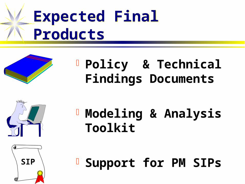
Expected Final ProductsExpected Final Products
Policy & Technical Findings Documents
Modeling & Analysis Toolkit
Support for PM SIPsSIP