ch. 9-1: physical geography of latin america objective: identify important landforms and resources...
TRANSCRIPT
Ch. 9-1: Physical Geography Ch. 9-1: Physical Geography of Latin Americaof Latin America
Objective: Identify important landforms and resources of Latin America
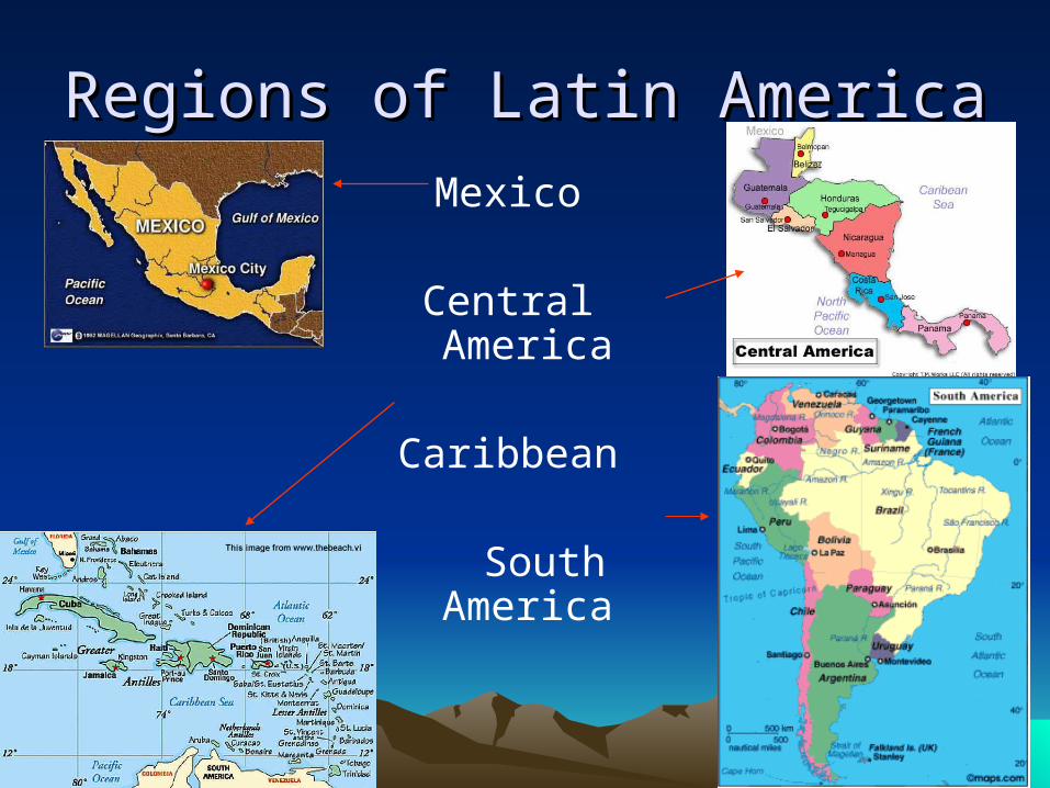
Regions of Latin AmericaRegions of Latin AmericaMexico
Central America
Caribbean
South America
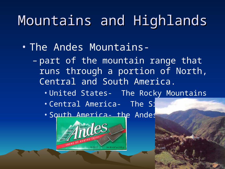
Mountains and HighlandsMountains and Highlands
• The Andes Mountains-– part of the mountain range that runs through a
portion of North, Central and South America.• United States- The Rocky Mountains• Central America- The Sierra Madres• South America- the Andes

Andes Mountains - Peru
Patagonia – Southern Andes
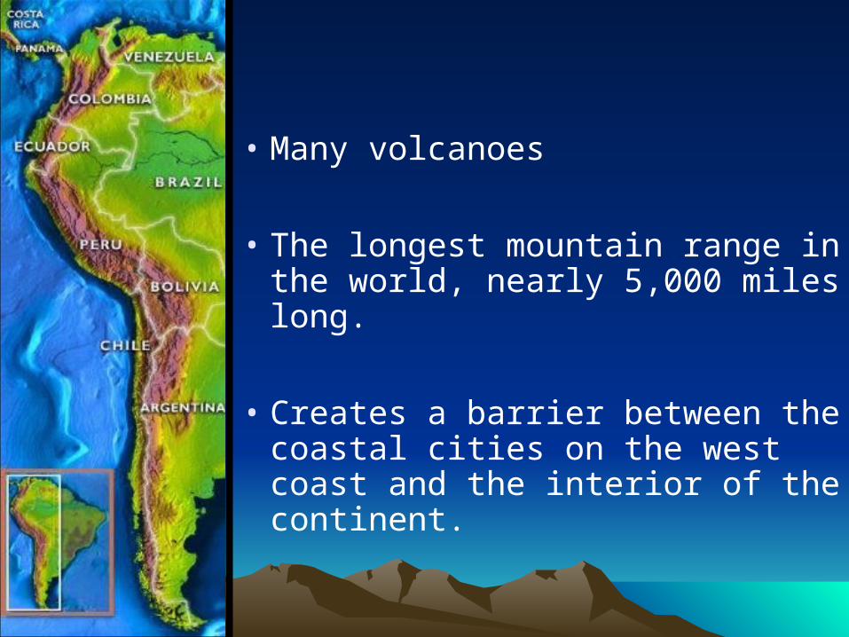
• Many volcanoes
• The longest mountain range in the world, nearly 5,000 miles long.
• Creates a barrier between the coastal cities on the west coast and the interior of the continent.
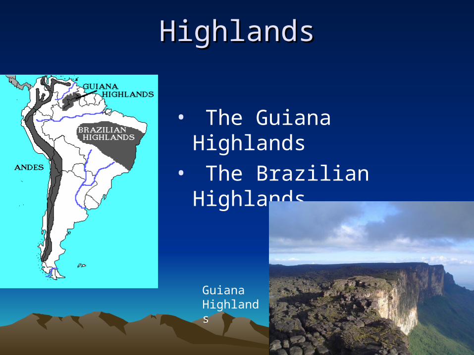
HighlandsHighlands
• The Guiana Highlands
• The Brazilian Highlands
Guiana Highlands
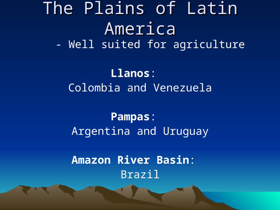
The Plains of Latin AmericaThe Plains of Latin America- Well suited for agriculture
Llanos: Colombia and Venezuela
Pampas: Argentina and Uruguay
Amazon River Basin: Brazil

The Pampas: Argentina
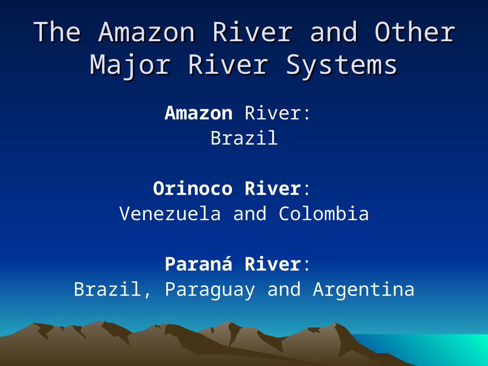
The Amazon River and Other Major The Amazon River and Other Major River SystemsRiver Systems
Amazon River: Brazil
Orinoco River: Venezuela and Colombia
Paraná River: Brazil, Paraguay and Argentina
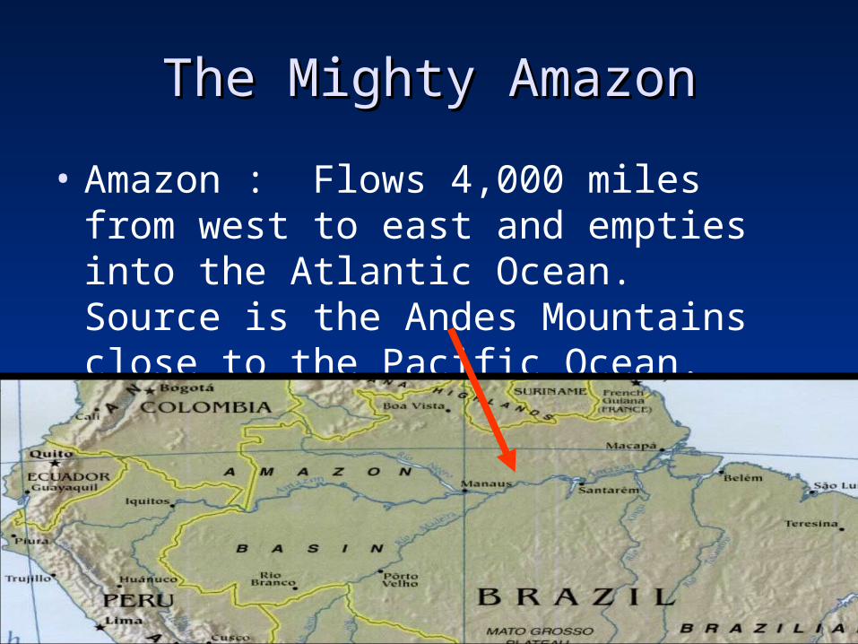
The Mighty AmazonThe Mighty Amazon
• Amazon : Flows 4,000 miles from west to east and empties into the Atlantic Ocean. Source is the Andes Mountains close to the Pacific Ocean.
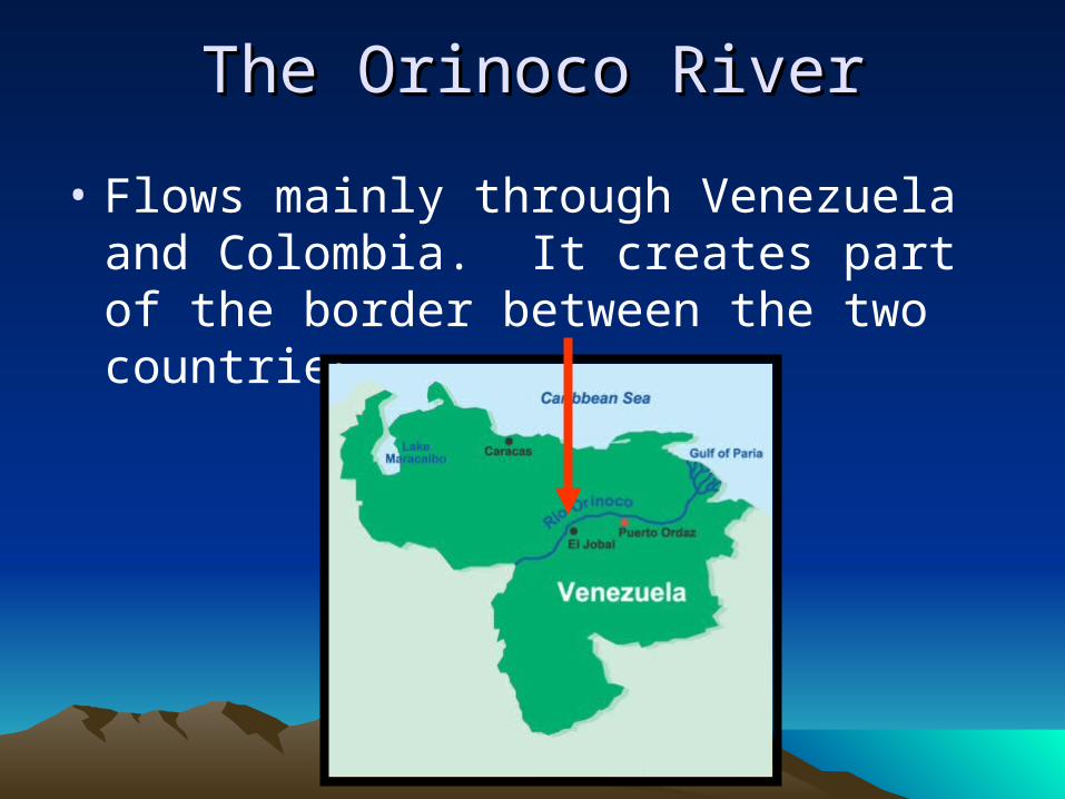
The Orinoco RiverThe Orinoco River
• Flows mainly through Venezuela and Colombia. It creates part of the border between the two countries.

The ParanThe Paraná Riverá River
• begins in the Brazilian Highlands and flows southward through Paraguay and Argentina. It meets with several other rivers to create the Rio de la Plata

Islands of the CaribbeanIslands of the Caribbean
• Three Main Island Groups make up the West Indies:
The Bahamas
The Greater Antilles
The Lesser Antilles
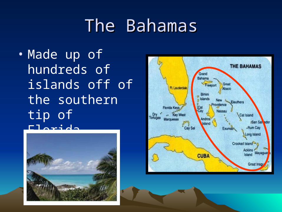
The BahamasThe Bahamas
• Made up of hundreds of islands off of the southern tip of Florida.
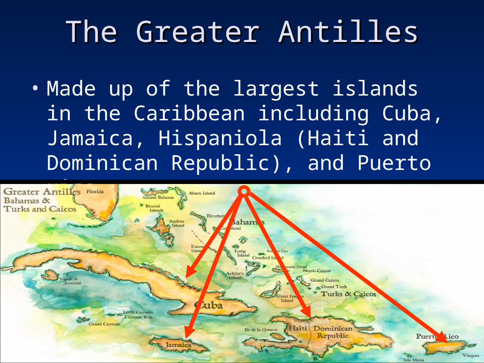
The Greater AntillesThe Greater Antilles
• Made up of the largest islands in the Caribbean including Cuba, Jamaica, Hispaniola (Haiti and Dominican Republic), and Puerto Rico.

The Lesser AntillesThe Lesser Antilles
• Includes the smaller islands in the region southeast of Puerto Rico.

ResourcesResourcesGoldSilver
OilNatural gas
Hydroelectric powerCopperTimber
Agricultural Products
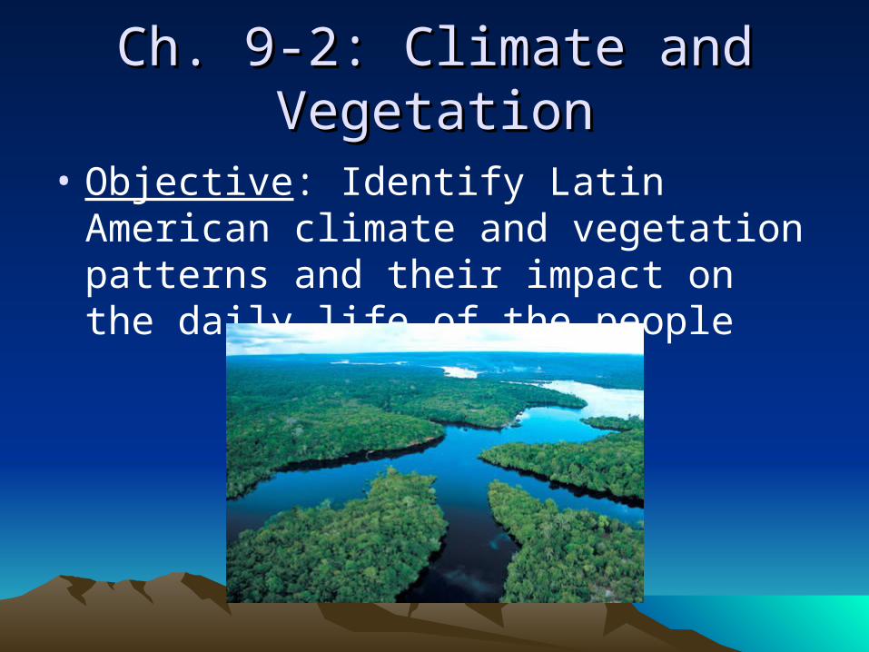
Ch. 9-2: Climate and VegetationCh. 9-2: Climate and Vegetation
• Objective: Identify Latin American climate and vegetation patterns and their impact on the daily life of the people

Climate and VegetationClimate and Vegetation
Tropical WetRain forest (Brazil)
Tropical Wet and DryLlanos and Pampas (Venezuela and Argentina)
Semiarid Patagonia- Argentina
DesertAtacama Desert-
Chile

Mid-Latitude ClimatesMid-Latitude ClimatesHumid SubtropicalParaguay, Uruguay, southern Brazil, Bolivia, and Argentina
Mediterranean West coast of Chile
Marine West Coast Southern Chile, eastern Argentina
Highlands
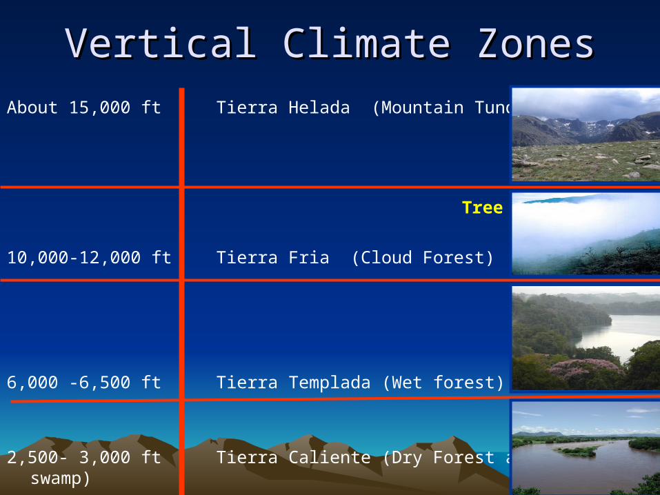
Vertical Climate ZonesVertical Climate Zones
About 15,000 ft Tierra Helada (Mountain Tundra)
Tree Line
10,000-12,000 ft Tierra Fria (Cloud Forest)
6,000 -6,500 ft Tierra Templada (Wet forest)
2,500- 3,000 ft Tierra Caliente (Dry Forest and swamp)
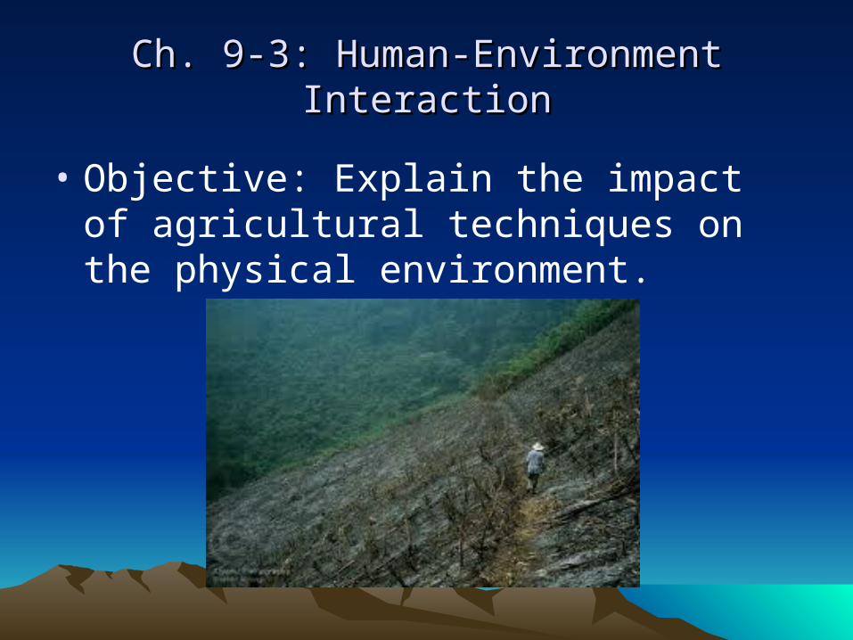
Ch. 9-3: Human-Environment InteractionCh. 9-3: Human-Environment Interaction
• Objective: Explain the impact of agricultural techniques on the physical environment.

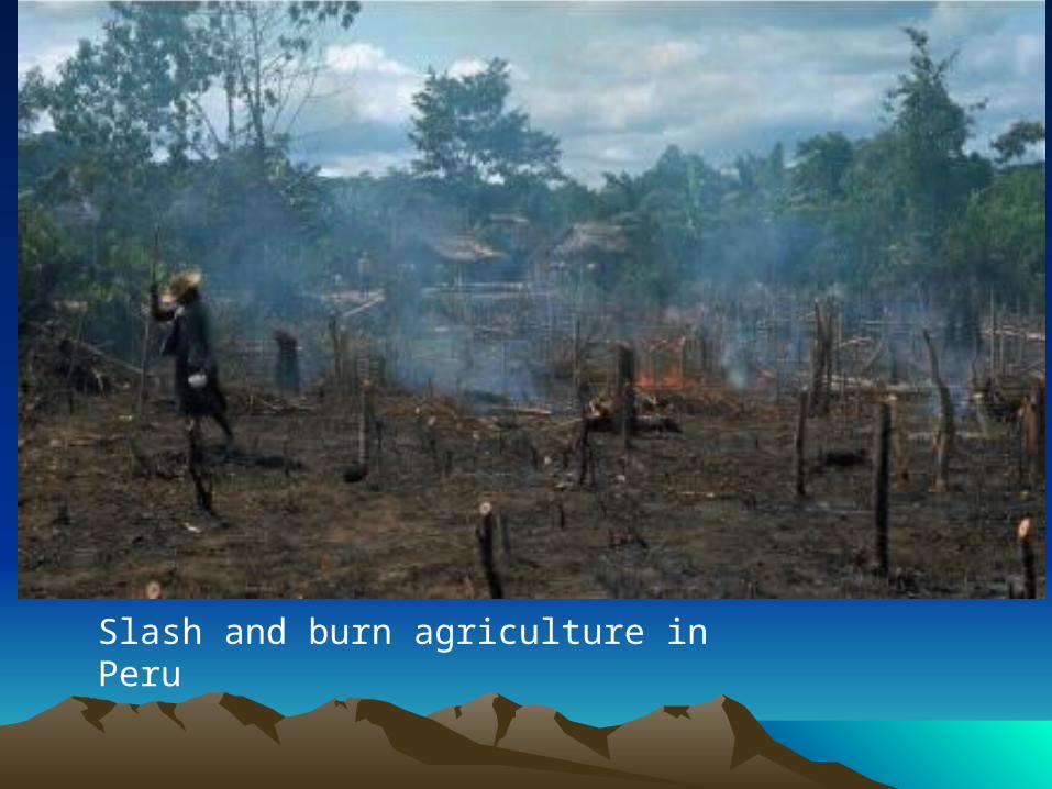
AgricultureAgriculture
Slash-and-burn technique used to clear the land for farmland in the Amazon River basin.
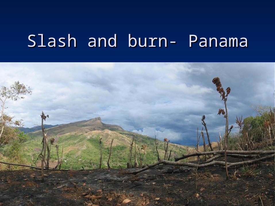
Slash and burn- PanamaSlash and burn- Panama
\\
Slash and burn agriculture in Peru
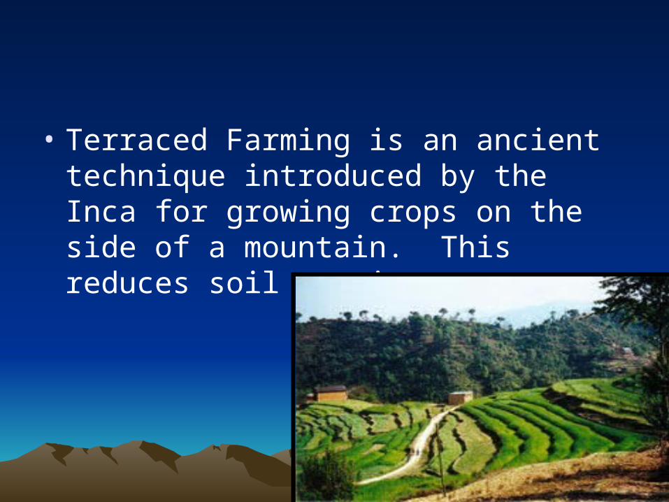
• Terraced Farming is an ancient technique introduced by the Inca for growing crops on the side of a mountain. This reduces soil erosion.
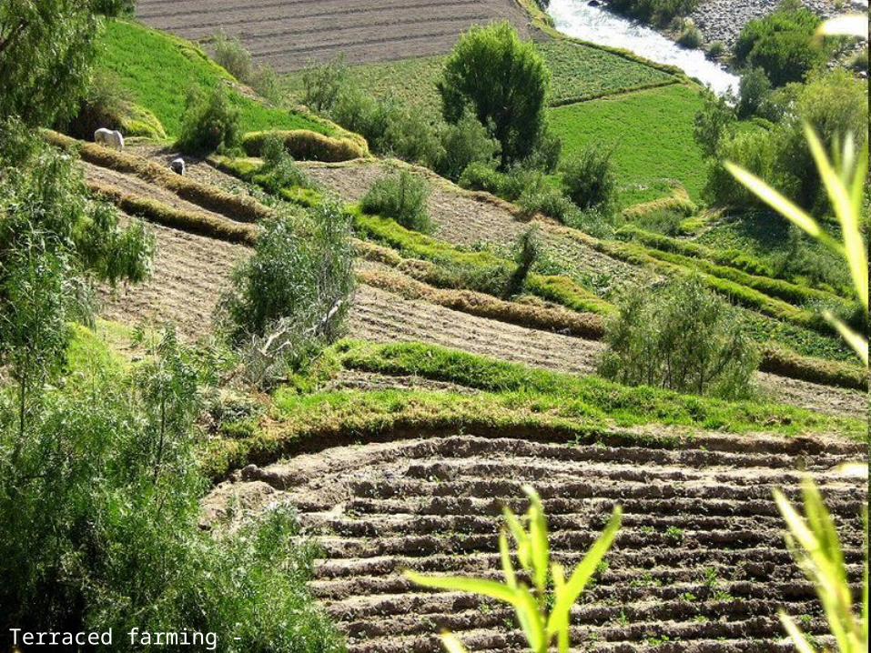
Terraced farming - Peru

UrbanizationUrbanization
• Push and Pull factors: People are moving from rural to urban areas in search of better opportunities.
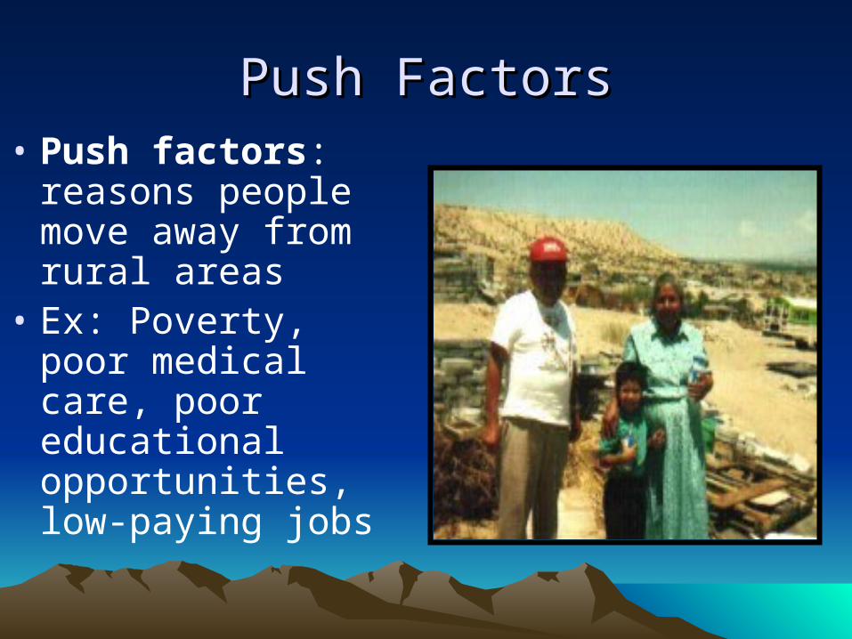
Push FactorsPush Factors• Push factors:
reasons people move away from rural areas
• Ex: Poverty, poor medical care, poor educational opportunities, low-paying jobs

Pull FactorsPull Factors
• Pull factors: reasons people are drawn to the cities.
• Ex: Possibilities for work, education, medical care.
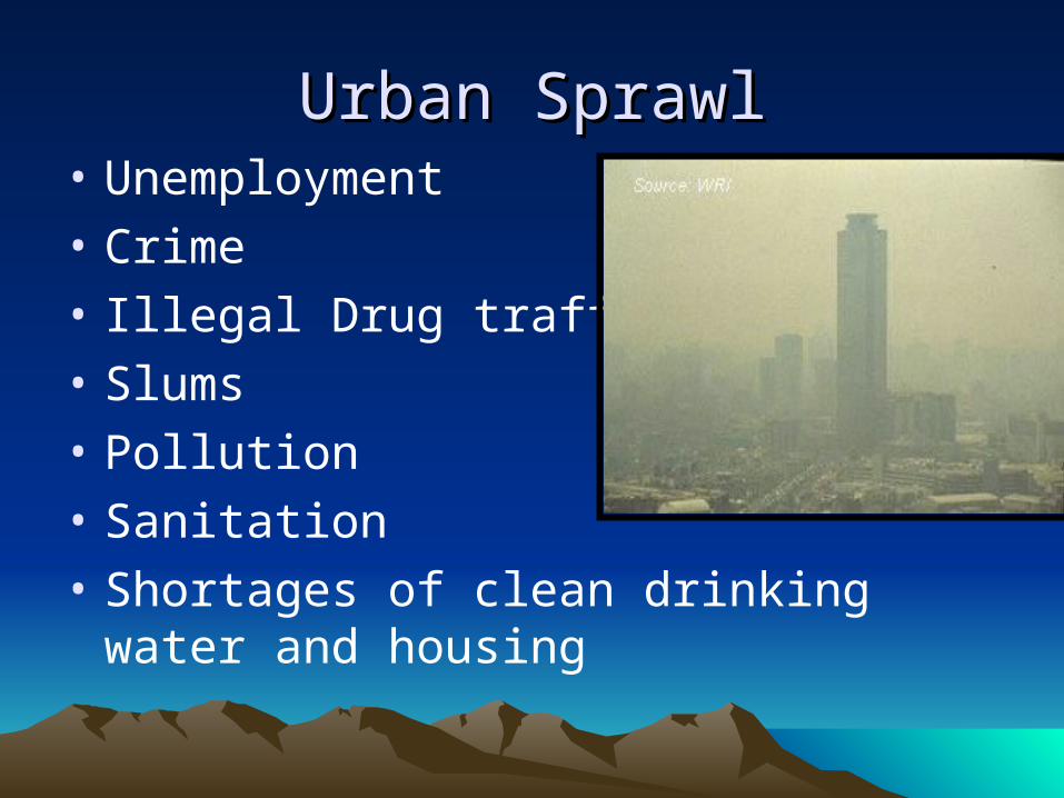
Urban SprawlUrban Sprawl• Unemployment
• Crime
• Illegal Drug trafficking
• Slums
• Pollution
• Sanitation
• Shortages of clean drinking water and housing

The Constitution Square, Or Zócalo. With The Palacio Nacional, Mexico City, Located On The East Side.Photo Taken From The Top Of The Latin American Tower. Looking East. January 18, 2005
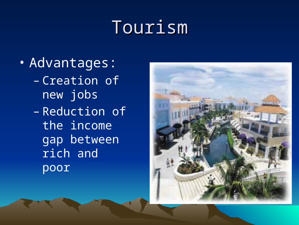
TourismTourism
• Advantages:– Creation of new
jobs– Reduction of the
income gap between rich and poor

TourismTourism• Disadvantages:
– Congestion– Pollution– Strain on local
resources– Resentment and
hostility– Large public debt due to
building tourist facilities
5 Minute Writing5 Minute Writing
• Humans interact with the environment in different ways. We depend, modify, and adapt to our specific environment.
• Identify how Latin Americans have depended, modified, and adapted to their physical world.