chapter 13 weather forecasting and analysis. weather forecasting by the u.s. government began in the...
TRANSCRIPT

Chapter 13Chapter 13
Weather Forecasting and AnalysisWeather Forecasting and Analysis

Weather forecasting by the U.S. government began in the 1870s when Congress establisheda National Weather Service under the authority
of the Army Signal Corps.
The National Oceanic and Atmospheric Administration(NOAA) was established in 1970 to include a number of
environmental agencies, including theNational Weather Service.

The Meteorological Service of Canada (MSC),located in Downsview, Ontario, assumes all
forecasting duties for that country andprovides local and regional information
to its 14 regional weather centers.

Forecasts based on long-term information in the absence of any data about current weather
are called climatological forecasts.
The reliability of a climatological forecastdepends on year-to-year variability
in weather conditions for the forecast day.

A persistence forecast relies completely oncurrent conditions with no reference to climatology.This simple procedure might work for a little while
but will eventually fail to catch changes in weather.

The analog approach tries to recognize similarities between current conditions andsimilar well-studied patterns from before,assuming that what happened sometime
in the past provides a clue about the future.

Numerical weather forecasting is based oncomputer programs that attempt to mimic the
actual behavior of the atmosphere.
The numerical models typically used inweather forecasting are very large and can
only be run on the most powerful computers,so-called supercomputers.

Quantitative forecasts specify the “amount”of the forecast variable. For example, forecasts of the expected high or lowtemperature are quantitative because
a value for the forecast variable is provided.

Qualitative forecasts provide only a categorical value for the predicted variable.
For example, in a forecast of rain, the predicted variable is assignedto a particular class or category.

In a probability forecast, the chance of some event is stated.
The most common example is the probability-of-precipitation forecast
(PoP forecast).

Forecast quality refers to theagreement between forecasts and observations.
Forecast value refers to the utilityof a forecast and necessarily depends
on the application of a forecast toa particular problem or decision.

The quality of a forecast concerns forecast accuracy.
That is, on average, how close isthe forecast value to the true value?

Forecast bias concerns systematicover- or under-prediction.
A biased forecast method isone whose average forecast is
above or below the true average.

The mean absolute error (MAE), ignoresthe sign (positive or negative) of the errors.
That is, over- and under-predictionsare treated the same.

Forecast skill is defined as the improvement a method provides over what can be obtainedusing climatology, persistence, or some other
“no-skill” standard.

Hydrogen-filled balloons carry weather
instrument packages called radiosondes.
Radiosondes tracked by radar are called rawinsondes.

The general procedure for all numerical models includes
the following three phases:
The analysis phase, in which observationsare used to supply values corresponding
to the starting state of the atmospherefor all the variables carried in the model.

The prediction phase begins with valuesdelivered by the analysis phase using
governing equations to obtain new valuesa few minutes into the future.
The process is then repeated, using the output from the first step
as input for the next set of calculations.

In the post-processing phase, conditionsforecast by the model at regular intervalsare represented in grid form for mapping
and other display purposes.

Ensemble forecasting involves a number ofdifferent model runs performed for
the same forecast period starting with slightly different initial values.
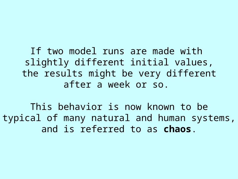
If two model runs are made with slightly different initial values,
the results might be very differentafter a week or so.
This behavior is now known to betypical of many natural and human systems,
and is referred to as chaos.

Long-range forecasts include climatology, statistics,numerical models, and subjective judgment to produce
forecasts for periods ranging from a week tothe limits of technical feasibility.
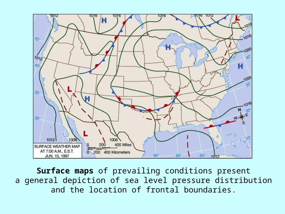
Surface maps of prevailing conditions presenta general depiction of sea level pressure distribution
and the location of frontal boundaries.

Station models offer detailed knowledge of theconditions at a particular location with over a dozen
weather elements represented on each station model.

An 850 mb map.

A 500 mb map.

A 300 mb map with isotachs (lines of equal wind speed).

Visible images view the atmosphere by registeringthe intensity of reflected shortwave radiation and
are available only during the daytime.

Infrared images are based on measurements oflongwave radiation emitted (not reflected) from below.

Water vapor image obtained from GOES 8 satellite.

Radar images observe the internal cloud conditionsby measuring the amount of radiation backscattered
by precipitation (both liquid and solid).

Vertical profiles of temperature and dew point observed by radiosondes are plotted on thermodynamic diagrams(pseudo-adiabatic charts).
On the Stuve chart, air temperature is scaled along the horizontal axis
and pressure is on a nearlylogarithmic vertical axis. The
straight, solid lines are dry adiabats and the dashed, slightly curved lines
are wet adiabats, showing temperature changes in a
rising saturated parcel.

The lifted index combines the average humidity in the lowest kilometer
of the atmosphere, the predictedmaximum temperature for the day,
and the temperature at the 500 mb levelinto a single number.
The K-index uses values of temperatureand dew point at the surface and the
850, 700, and 500 mb levels.

The next chapter examines human effects:The next chapter examines human effects:air pollution and heat islands.air pollution and heat islands.