chatfield reservoir reallocation study where in the draft ... · chatfield reservoir reallocation...
TRANSCRIPT
Page 1
Where in the Draft FR/EIS can I Find…?
June 2012 Draft FR/EIS and
Chatfield Reservoir Reallocation Study
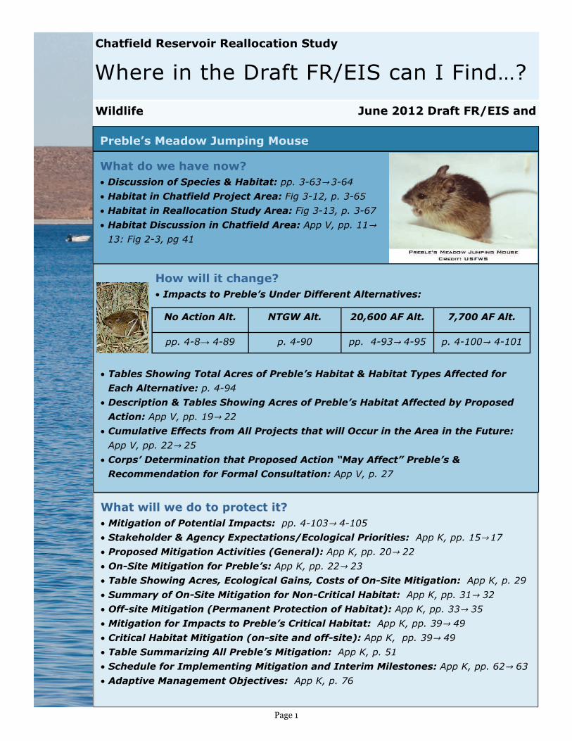
Preble’s Meadow Jumping Mouse
What do we have now? • Discussion of Species & Habitat: pp. 3-63→ 3-64
• Habitat in Chatfield Project Area: Fig 3-12, p. 3-65
• Habitat in Reallocation Study Area: Fig 3-13, p. 3-67
• Habitat Discussion in Chatfield Area: App V, pp. 11→ 13: Fig 2-3, pg 41
How will it change?
• Impacts to Preble’s Under Different Alternatives:
• Tables Showing Total Acres of Preble’s Habitat & Habitat Types Affected for
Each Alternative: p. 4-94
• Description & Tables Showing Acres of Preble’s Habitat Affected by Proposed
Action: App V, pp. 19→ 22
• Cumulative Effects from All Projects that will Occur in the Area in the Future:
App V, pp. 22→ 25
• Corps’ Determination that Proposed Action “May Affect” Preble’s &
Recommendation for Formal Consultation: App V, p. 27
What will we do to protect it? • Mitigation of Potential Impacts: pp. 4-103→ 4-105
• Stakeholder & Agency Expectations/Ecological Priorities: App K, pp. 15→ 17
• Proposed Mitigation Activities (General): App K, pp. 20→ 22
• On-Site Mitigation for Preble’s: App K, pp. 22→ 23
• Table Showing Acres, Ecological Gains, Costs of On-Site Mitigation: App K, p. 29
• Summary of On-Site Mitigation for Non-Critical Habitat: App K, pp. 31→ 32
• Off-site Mitigation (Permanent Protection of Habitat): App K, pp. 33→ 35
• Mitigation for Impacts to Preble’s Critical Habitat: App K, pp. 39→ 49
• Critical Habitat Mitigation (on-site and off-site): App K, pp. 39→ 49
• Table Summarizing All Preble’s Mitigation: App K, p. 51
• Schedule for Implementing Mitigation and Interim Milestones: App K, pp. 62→ 63
• Adaptive Management Objectives: App K, p. 76
Wildlife
No Action Alt. NTGW Alt. 20,600 AF Alt. 7,700 AF Alt.
pp. 4-8→ 4-89 p. 4-90 pp. 4-93→ 4-95 p. 4-100→ 4-101

Page 2
Where in the Draft FR/EIS can I Find…?
June 2012 Draft FR/EIS and
Chatfield Reservoir Reallocation Study
Wildlife - General (Including Birds)
What do we have now? • Around Chatfield Reservoir: pp. 3-47→ 3-53
• Lists of Birds in Chatfield Area: pp. 3-49, 3-52
• Bird Habitat Map: p. 3-55 • Species of Mammals, Birds, Reptiles, & Amphibi-
ans Known to Occur in the Project Area: App F
How will it change? • Impacts to Wildlife Under Different Alternatives:
• Tables Showing Estimates of Number of Acres of Wildlife Habitat Impacted, by
Alternative: p. 4-79
• Flood Control Plan Potential Effects on Wildlife: App B, pp. 7-23→ 7-13
What will we do to protect it? • Reduction of Potential Impacts for all Alternatives: p. 4-86→ 4-87
• Bird Habitat: Number of
Acres of Impacts &
Mitigation: App K, pp. 51→
53
• Bird Habitat: Table of
Mitigation Activities &
Habitats: App K, p. C-11
• Bird Habitat: Replace Lost
Ecological Functions: App K,
pp. 12→ 13
• Bird Habitat: On-site
Mitigation: App K, p. 28
USFWS
Wildlife
No Action Alt. NTGW Alt. 20,600 AF Alt. 7,700 AF Alt.
pp. 4-78→ 4-80 p. 4-80 pp. 4-80→ 4-84 pp. 4-84→ 4-86
Cumulative
Impacts
p. 4-156
USFWS

Page 3
Where in the Draft FR/EIS can I Find…?
June 2012 Draft FR/EIS and
Chatfield Reservoir Reallocation Study
Aquatic Life and Fisheries
Wildlife
What do we have now?
• Chatfield Reservoir: pp. 3-21→ 3-22 • South Platte River below Chatfield Reservoir: p. 3-22 • Tributaries to Chatfield Reservoir: pp. 3-23→ 3-24
How will it change?
• Impacts to Aquatic Life and Fisheries Under Different Alternatives:
• Graph Showing Average Monthly Pool Fluctuations in Reservoir: p. 4-50
• Graph of Percent Change in Flows in South Platte River Below Reservoir: p. 4-51
• Downstream Flow Changes In South Platte River (Predicted by PACSM Model):
App D, pp. 8→ 9
• Impacts of Flow Changes on Fish Habitat: App D, pp. 9→ 14
• Habitat versus Flow Relations: App D, Attachment C
• Habitat Suitability Data for Species of Interest: App D, Attachment A
What will we do to pro-
tect it?
• Reduction of Potential Im-
pacts for all Alternatives:
p. 4-55→ 4-56
No Action Alt. NTGW Alt. 20,600 AF Alt. 7,700 AF Alt.
pp. 4-47→ 4-48 p. 4-48 pp. 4-48→ 4-53 pp. 4-53→ 4-55
Cumulative
Impacts
pp. 4-154
USFWS
Page 4
Where in the Draft FR/EIS can I Find…?
June 2012 Draft FR/EIS and
Chatfield Reservoir Reallocation Study
Wildlife
Co State Parks
Endangered, Threatened, and Candidate Species, Species of Special
Concern, and Sensitive Communities
How will it change?
• Impacts to Endangered, Threatened, and Candidate Species, Species of
Special Concern, and Sensitive Communities and under Different Alternatives:
• Flood Control Plan Potential Effects on Endangered Species: App B, pp. 7-13→
7-14
• Discussion of Potential Impacts due to Inundation of Wetland, Riparian, and
Upland Areas: App V, pp. 6-13 & 17→ 22 • Corps’ Effects Determinations for Each Species: App V, pp. 25→ 27; Summary
Table: App V, p. 26
What will we do to protect it? • Reduction of Potential Impacts for all Alterna-
tives: pp. 4-103→ 4-105
• Recommended Mitigation Measures: App V, pp.
28→ 33
What do we have now?
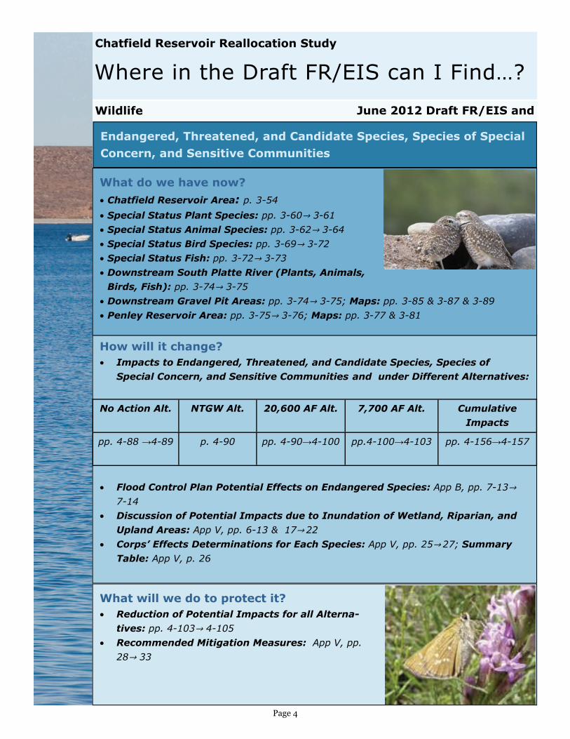
• Chatfield Reservoir Area: p. 3-54 • Special Status Plant Species: pp. 3-60→ 3-61
• Special Status Animal Species: pp. 3-62→ 3-64
• Special Status Bird Species: pp. 3-69→ 3-72
• Special Status Fish: pp. 3-72→ 3-73
• Downstream South Platte River (Plants, Animals,
Birds, Fish): pp. 3-74→ 3-75
• Downstream Gravel Pit Areas: pp. 3-74→ 3-75; Maps: pp. 3-85 & 3-87 & 3-89
• Penley Reservoir Area: pp. 3-75→ 3-76; Maps: pp. 3-77 & 3-81
No Action Alt. NTGW Alt. 20,600 AF Alt. 7,700 AF Alt.
pp. 4-88 →4-89 p. 4-90 pp. 4-90→4-100 pp.4-100→4-103
Cumulative
Impacts
pp. 4-156→4-157
Page 5
Where in the Draft FR/EIS can I Find…?
June 2012 Draft FR/EIS and
Chatfield Reservoir Reallocation Study
Picnic Areas, Boat Ramp, Swim Beach, Trailheads, Gravel Ponds, etc
What do we have now?
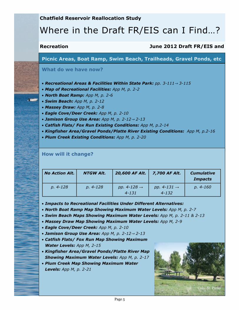
• Recreational Areas & Facilities Within State Park: pp. 3-111→ 3-115 • Map of Recreational Facilities: App M, p. 2-2 • North Boat Ramp: App M, p. 2-6 • Swim Beach: App M, p. 2-12 • Massey Draw: App M, p. 2-8 • Eagle Cove/Deer Creek: App M, p. 2-10 • Jamison Group Use Area: App M, p. 2-12→ 2-13 • Catfish Flats/ Fox Run Existing Conditions: App M, p.2-14 • Kingfisher Area/Gravel Ponds/Platte River Existing Conditions: App M, p.2-16 • Plum Creek Existing Conditions: App M, p. 2-20
How will it change?
• Impacts to Recreational Facilities Under Different Alternatives:
• North Boat Ramp Map Showing Maximum Water Levels: App M, p. 2-7 • Swim Beach Maps Showing Maximum Water Levels: App M, p. 2-11 & 2-13 • Massey Draw Map Showing Maximum Water Levels: App M, 2-9 • Eagle Cove/Deer Creek: App M, p. 2-10 • Jamison Group Use Area: App M, p. 2-12→ 2-13 • Catfish Flats/ Fox Run Map Showing Maximum
Water Levels: App M, 2-15 • Kingfisher Area/Gravel Ponds/Platte River Map
Showing Maximum Water Levels: App M, p. 2-17 • Plum Creek Map Showing Maximum Water
Levels: App M, p. 2-21
Recreation
No Action Alt. NTGW Alt. 20,600 AF Alt. 7,700 AF Alt.
p. 4-128 p. 4-128 pp. 4-128 →
4-131
pp. 4-131 →
4-132
Cumulative
Impacts
p. 4-160
Colo. St. Parks

Page 6
Where in the Draft FR/EIS can I Find…?
June 2012 Draft FR/EIS and
Chatfield Reservoir Reallocation Study
What will we do to protect it at the 20,600’ Alternative Level?
• Reduction & Modification of Potential Recreation Impacts: pp. 4-131→ 4-140
• Recreation Facilities Modification Plan: App M, pp. 3-1→ 3-19
• North Boat Ramp: App M, p. 3-2; Map Showing Modifications: App M, p. 3-3 • Swim Beach: App M, p. 3-6; Maps Showing Modifications: App M, p. 3-7, 3-8 & 3-9 • Massey Draw: App M, p. 3-4; Map Showing Modifications: App M, p. 3-5 • Eagle Cove/Deer Creek: App M, p. 3-2; Map Showing Modifications: App M, p. 3-3 • Jamison Group Use Area: App M, p. 3-2; Map Showing Modifications: App M, p. 3-3 • Catfish Flats/ Fox Run : App M, p. 3-2; Map Showing Modifications: App M, p. 3-3 • Kingfisher Area/Gravel Ponds/Platte River : App M, p. 3-12; Map Showing
Modifications: App M, p. 3-13 • Gravel Pond Protection: App M, p. A3-1; • Plum Creek : App M, p. 3-18; Map Showing Modifications: App M, p. 3-19 • Transportation Facilities: App M, p. A2-1; Map With Modifications: App M, p. 3-3
• Balloon Launch Site: p. 4-134
• Minimize Appearance of “Bathtub Ring”: p. 4-139→ 4-140
What will we do to protect it at the 7,700’
Alternative Level?
• Alternate Recreation Facilities Modification Plan:
App M, pp. A1→ A
• North Boat Ramp/Massey Draw: App M, pp. A3→ A6 • Swim Beach: App M, pp. A7→ A8 • Eagle Cove/Deer Creek: App M, p. A9 • Jamison/Catfish Flats/Fox Run : App M, p. A10→ A12 • Kingfisher Area/Gravel Ponds/Platte River : App
M, p. A-13→ A14 • Gravel Pond Protection: App M, p. A3-1; • Plum Creek : App M, p. A18→ A19
Picnic Areas, Boat Ramp, etc. (continued…)
Recreation
Colo .St. Parks
Page 7
Where in the Draft FR/EIS can I Find…?
June 2012 Draft FR/EIS and
Chatfield Reservoir Reallocation Study
What will we do to protect it?
• Marina Alternatives to Provide Same Level of Service as Currently Operating:
App N: pg 24—27, including alternatives maps
• Coordination and Recommendations for Next Steps: App N, pp. 29→ 30
• Issues Related to Marina Operation, Preferred Concept Description,
Recreation Modification Plan Map &
Proposed Solutions: App M, p. 3-14;
Maps: App M, p. 3-15, 3-16 & 3-17
• 7,700 AF Alternative:
App M, pp. A26→ A27
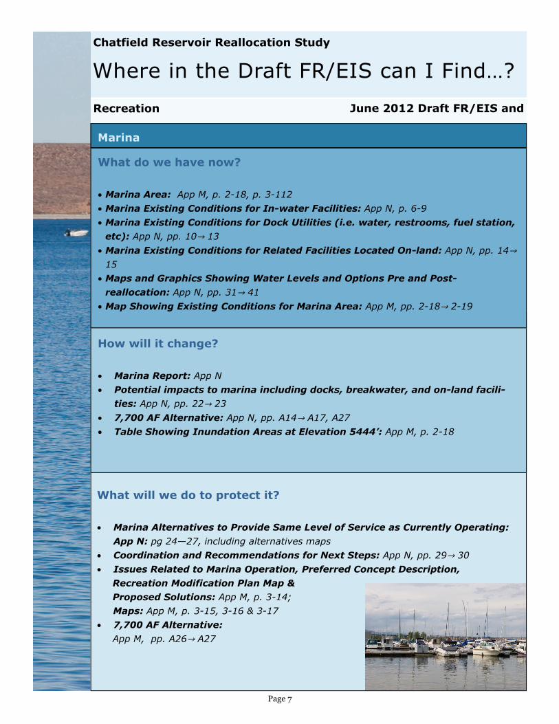
Marina
How will it change?
• Marina Report: App N
• Potential impacts to marina including docks, breakwater, and on-land facili-
ties: App N, pp. 22→ 23 • 7,700 AF Alternative: App N, pp. A14→ A17, A27
• Table Showing Inundation Areas at Elevation 5444’: App M, p. 2-18
Recreation
What do we have now?
• Marina Area: App M, p. 2-18, p. 3-112
• Marina Existing Conditions for In-water Facilities: App N, p. 6-9
• Marina Existing Conditions for Dock Utilities (i.e. water, restrooms, fuel station,
etc): App N, pp. 10→ 13
• Marina Existing Conditions for Related Facilities Located On-land: App N, pp. 14→
15
• Maps and Graphics Showing Water Levels and Options Pre and Post-
reallocation: App N, pp. 31→ 41
• Map Showing Existing Conditions for Marina Area: App M, pp. 2-18→ 2-19

Page 8
Where in the Draft FR/EIS can I Find…?
June 2012 Draft FR/EIS and
Chatfield Reservoir Reallocation Study
Wetlands
What do we have now? • Around Chatfield Reservoir: pp. 3-28, 3-40; Map: p.3-41 • Downstream of Chatfield Reservoir: Maps: pp. 3-43, 3-45
• At Downstream Gravel Pit Locations: p. 3-40; Maps: pp. 3-33, 3-35, 3-37
• National Wetlands Inventory Maps: App E
How will it change?
• Impacts to Vegetation Under Different Alternatives:
• Tables Showing Total Acres of Wetlands Impacted, by Alternative: p. 4-73
• Weekly Mean Pool Levels for Year, by Alternative: p. 4-75
• Predicted Pool Elevations over Period of Record, by Alternative: p. 4-76
Plant Life and Habitat
No Action Alt. NTGW Alt. 20,600 AF 7,700 AF
pp. 4-71→ 4-72 pp. 4-72 pp. 4-73→ 4-77
App K, pp. 1→ 2
p 4-77
Cumulative
Impacts
p. 4-156
What will we do to protect it?
• Reduction of Potential Impacts for all Alternatives: p. 4-78
• Mitigation Plans, Priorities, and Objectives: App K, pp 16→ 22;
• Functional Wetlands Units Goals for Wetlands: App K, pp. 51, 52 & 54
• Compensatory Mitigation and On-Site Noncritical Habitat: App K, p. 23, p. 31
USEPA
Page 9
Where in the Draft FR/EIS can I Find…?
June 2012 Draft FR/EIS and
Chatfield Reservoir Reallocation Study
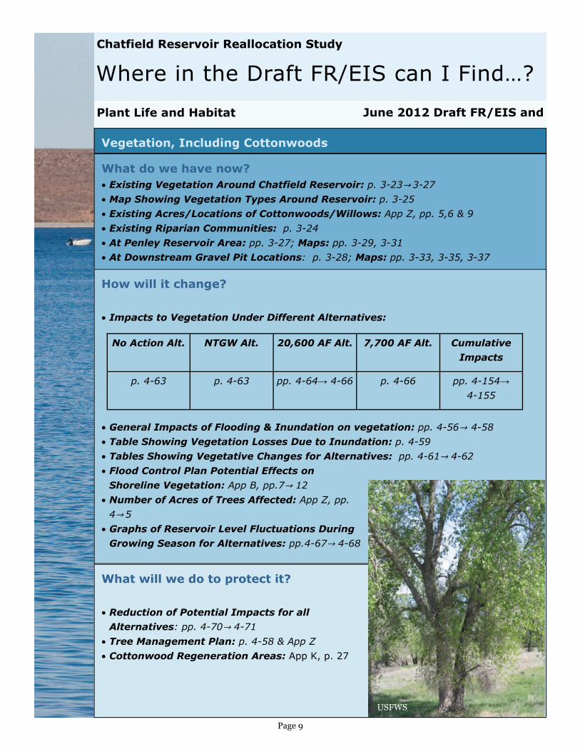
Vegetation, Including Cottonwoods
What do we have now? • Existing Vegetation Around Chatfield Reservoir: p. 3-23→ 3-27 • Map Showing Vegetation Types Around Reservoir: p. 3-25 • Existing Acres/Locations of Cottonwoods/Willows: App Z, pp. 5,6 & 9
• Existing Riparian Communities: p. 3-24
• At Penley Reservoir Area: pp. 3-27; Maps: pp. 3-29, 3-31
• At Downstream Gravel Pit Locations: p. 3-28; Maps: pp. 3-33, 3-35, 3-37
How will it change?
• Impacts to Vegetation Under Different Alternatives:
• General Impacts of Flooding & Inundation on vegetation: pp. 4-56→ 4-58
• Table Showing Vegetation Losses Due to Inundation: p. 4-59
• Tables Showing Vegetative Changes for Alternatives: pp. 4-61→ 4-62
• Flood Control Plan Potential Effects on
Shoreline Vegetation: App B, pp.7→ 12
• Number of Acres of Trees Affected: App Z, pp.
4→ 5
• Graphs of Reservoir Level Fluctuations During
Growing Season for Alternatives: pp.4-67→ 4-68
What will we do to protect it?
• Reduction of Potential Impacts for all
Alternatives: pp. 4-70→ 4-71
• Tree Management Plan: p. 4-58 & App Z
• Cottonwood Regeneration Areas: App K, p. 27
Plant Life and Habitat
No Action Alt. NTGW Alt. 20,600 AF Alt. 7,700 AF Alt.
p. 4-63 p. 4-63 pp. 4-64→ 4-66 p. 4-66
Cumulative
Impacts
pp. 4-154→
4-155
USFWS
Page 10
Where in the Draft FR/EIS can I Find…?
June 2012 Draft FR/EIS and
Chatfield Reservoir Reallocation Study
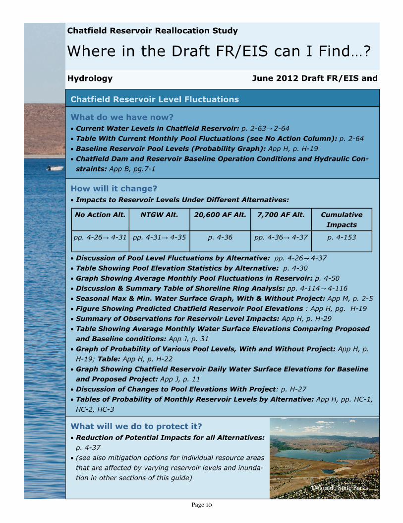
Chatfield Reservoir Level Fluctuations
What do we have now? • Current Water Levels in Chatfield Reservoir: p. 2-63→ 2-64
• Table With Current Monthly Pool Fluctuations (see No Action Column): p. 2-64
• Baseline Reservoir Pool Levels (Probability Graph): App H, p. H-19
• Chatfield Dam and Reservoir Baseline Operation Conditions and Hydraulic Con-
straints: App B, pg.7-1
How will it change? • Impacts to Reservoir Levels Under Different Alternatives:
• Discussion of Pool Level Fluctuations by Alternative: pp. 4-26→ 4-37
• Table Showing Pool Elevation Statistics by Alternative: p. 4-30
• Graph Showing Average Monthly Pool Fluctuations in Reservoir: p. 4-50
• Discussion & Summary Table of Shoreline Ring Analysis: pp. 4-114→ 4-116
• Seasonal Max & Min. Water Surface Graph, With & Without Project: App M, p. 2-5
• Figure Showing Predicted Chatfield Reservoir Pool Elevations : App H, pg. H-19
• Summary of Observations for Reservoir Level Impacts: App H, p. H-29
• Table Showing Average Monthly Water Surface Elevations Comparing Proposed
and Baseline conditions: App J, p. 31
• Graph of Probability of Various Pool Levels, With and Without Project: App H, p.
H-19; Table: App H, p. H-22
• Graph Showing Chatfield Reservoir Daily Water Surface Elevations for Baseline
and Proposed Project: App J, p. 11
• Discussion of Changes to Pool Elevations With Project: p. H-27
• Tables of Probability of Monthly Reservoir Levels by Alternative: App H, pp. HC-1,
HC-2, HC-3
What will we do to protect it? • Reduction of Potential Impacts for all Alternatives:
p. 4-37
• (see also mitigation options for individual resource areas
that are affected by varying reservoir levels and inunda-
tion in other sections of this guide)
Hydrology
No Action Alt. NTGW Alt. 20,600 AF Alt. 7,700 AF Alt.
pp. 4-26→ 4-31 pp. 4-31→ 4-35 p. 4-36 pp. 4-36→ 4-37
Cumulative
Impacts
p. 4-153
Colorado State Parks
Page 11
Where in the Draft FR/EIS can I Find…?
June 2012 Draft FR/EIS and
Chatfield Reservoir Reallocation Study
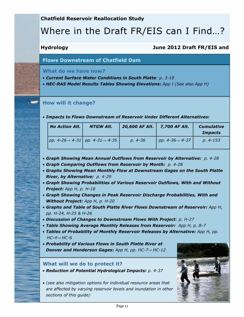
Flows Downstream of Chatfield Dam
What do we have now? • Current Surface Water Conditions in South Platte: p. 3-10
• HEC-RAS Model Results Tables Showing Elevations: App I (See also App H)
How will it change?
• Impacts to Flows Downstream of Reservoir Under Different Alternatives:
• Graph Showing Mean Annual Outflows from Reservoir by Alternative: p. 4-28
• Graph Comparing Outflows from Reservoir by Month: p. 4-28
• Graphs Showing Mean Monthly Flow at Downstream Gages on the South Platte
River, by Alternative: p. 4-29
• Graph Showing Probabilities of Various Reservoir Outflows, With and Without
Project: App H, p. H-18
• Graph Showing Changes in Peak Reservoir Discharge Probabilities, With and
Without Project: App H, p. H-20
• Graphs and Table of South Platte River Flows Downstream of Reservoir: App H,
pp. H-24, H-25 & H-26
• Discussion of Changes to Downstream Flows With Project: p. H-27
• Table Showing Average Monthly Releases from Reservoir: App H, p. B-7
• Tables of Probability of Monthly Reservoir Releases by Alternative: App H, pp.
HC-4→ HC-6
• Probability of Various Flows in South Platte River at
Denver and Henderson Gages: App H, pp. HC-7→ HC-12
What will we do to protect it? • Reduction of Potential Hydrological Impacts: p. 4-37
• (see also mitigation options for individual resource areas that
are affected by varying reservoir levels and inundation in other
sections of this guide)
Hydrology
No Action Alt. NTGW Alt. 20,600 AF Alt. 7,700 AF Alt.
pp. 4-26→ 4-31 pp. 4-31→ 4-35 p. 4-36 pp. 4-36→ 4-37
Cumulative
Impacts
p. 4-153
Page 12
Where in the Draft FR/EIS can I Find…?
June 2012 Draft FR/EIS and
Chatfield Reservoir Reallocation Study
Climate Change
Hydrology
What do we have now? • Previous Studies: pp. 1-22→ 1-23
• Discussion of Current Climate, Temperature, and Precipitation: p. 3-9
How will it change? • Previous Studies: pp. 1-22→ 1-23
• Climate Change Relating to Hydrologic Variability: p. 4-37
• Climate Change and Cumulative Impact Predictions: pp. 4-142 & 4-153
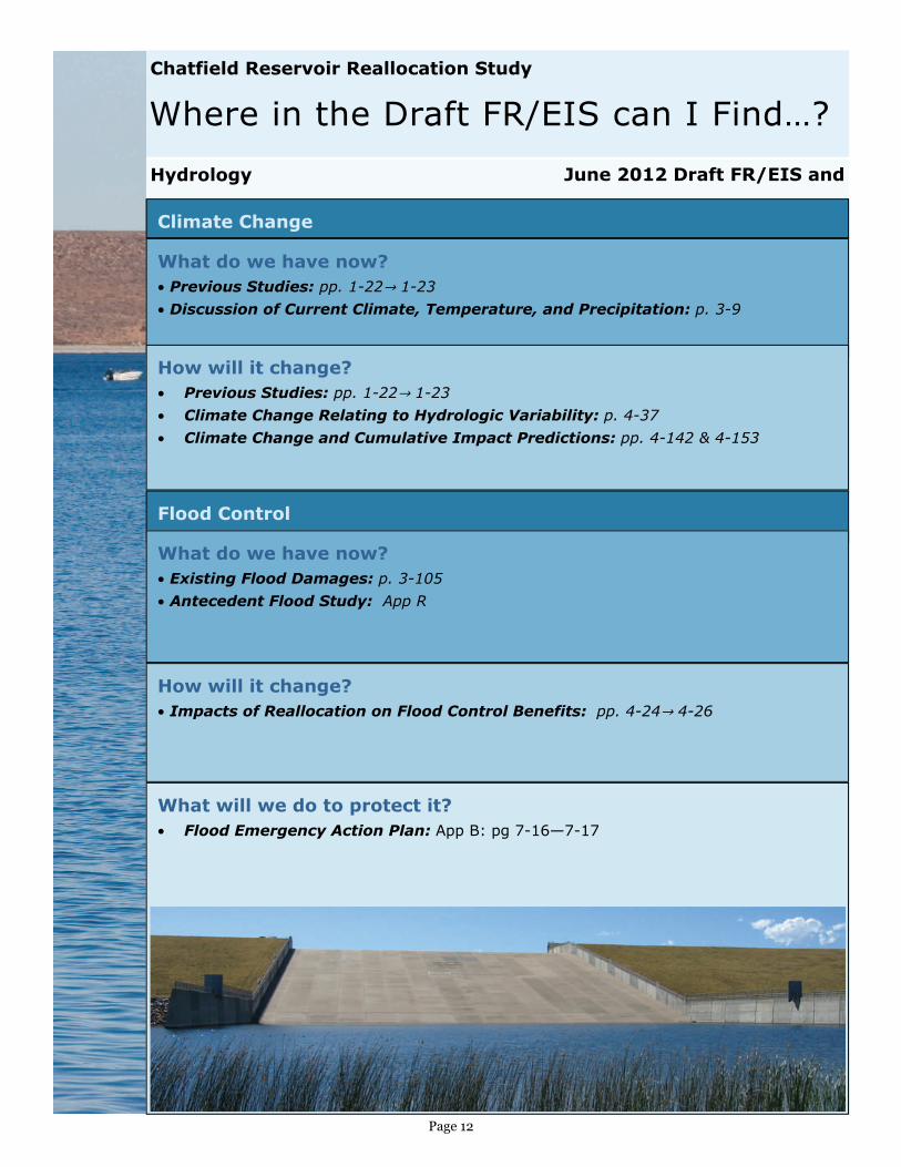
Flood Control
What do we have now? • Existing Flood Damages: p. 3-105
• Antecedent Flood Study: App R
How will it change? • Impacts of Reallocation on Flood Control Benefits: pp. 4-24→ 4-26
What will we do to protect it? • Flood Emergency Action Plan: App B: pg 7-16—7-17
Page 13
Where in the Draft FR/EIS can I Find…?
June 2012 Draft FR/EIS and
Chatfield Reservoir Reallocation Study
Water
What will we do to protect it?
• Reduction of metals concentrations discussion: App J: pg 53
• Reduction of Potential Impacts for All Alternatives: p. 4-46→ 4-47
Water Quality in Chatfield Reservoir
How will it change?
• Potential Impacts to Water Quality Under Different Alternatives:
• General Discussion of Water Quality Impacts: p. 4-37→ 4-39
• Predicted Total Phosphorus, Chlorophyll-a, Secchi Depth, and Trophic Status:
App J, pp. 24 → 26
• Impacts of Hydraulic Residence Time & Limitations of Model: App J, pp. 26→ 28
• Estimated Metals Concentrations With Project Water Level Increases: App J, p.
53
• Discussion Regarding E. coli Concentrations : App J: pg 55
• Potential Water Quality Impacts of Proposed Project: App J, p. 58→ 61
• Estimated Metals Concentration due to Reservoir Pool Level Elevation Increase:
App J, p. 48
• Summary of Analyses for Future Nutrient, Metals, and Bacteria Loads in Chat-
field Reservoir: App J, pp. 53→ 56
No Action Alt. NTGW Alt. 20.600 AF Alt. 7,700 AF Alt.
pp. 4-39→ 4-41 p. 4-42 pp. 4-42→ 4-45 pp. 4-45→ 4-46
Cumulative
Impacts
pp. 4-153
What do we have now? • Regulation of Water Quality: p. 3-12
• Ambient Reservoir Water Quality: pp. 3-12→ 3-22
• Chatfield Reservoir Water Quality Standards: App J, pp. 4→ 5
• Current Water Quality Conditions in Chatfield Reservoir: App J, pp. 5→ 7
• Baseline Water Quality (Using Regional Statistical Model): App J, pp. 22→ 23
• Baseline Water Quality (Using Localized Loading Model): App J, pp. 29→ 39
• Baseline Metals Concentrations: App J, p. 51
• Baseline E. coli Concentrations: App J, p. 55
Page 14
Where in the Draft FR/EIS can I Find…?
June 2012 Draft FR/EIS and
Chatfield Reservoir Reallocation Study
What do we have now?
• Conservation as Part of Scoping: p. 1-16
• Findings of Statewide Water Supply Initiative: pp. 1-24→1-26
• Conservation as an Alternative: pp. 2-15→ 2-23
• Summaries of Participants’ Existing Water Conservation Programs: App AA
• City of Aurora: App AA, p. 1→ 2
• Arapahoe County Water and Wastewater Authority: App AA, p. 2
• Castle Pines and Castle Pines North Metropolitan District: App AA, pp. 3→ 8
• Town of Castle Rock: App AA, pp. 8→ 9
• Centennial Water and Sanitation District: App AA, pp. 9→ 13
• Center of Colorado Water Conservancy District: App AA, pp. 13→ 15
• Central Colorado Water Conservancy District: App AA, pp. 15→ 16
• Denver Botanical Gardens: App AA, p. 16
• Mount Carbon Metro District: App AA, pp. 16→ 17
Water
Water Conservation Plans