checking ambition with reality the pros and cons of different approaches to site assessment
TRANSCRIPT

Checking Ambition with RealityWhere do we go with the P Index and site
assessment?
Pete Kleinman
D. Beegle, A. Sharpley, D. Osmond, J.
Lory, P. Vadas, J. Weld, T. Veith, A. Collick

P Site Assessment tool(on the books)
*
One national approach, 50 state options?Uniformity vs. flexibility

One national approach, 50 state options?
NATIONAL+ National resources+ Consistency
Regulatory, bureaucratic Uniform changes Equity?
STATE+ Flexibility
Regulatory, bureaucratic, political Nimble in responding to needed
change Local sensitivity

Something in between?Regional approaches
Existing regional groupsSERA-17Mule Barn GroupOther?
National P index assessment
Physiographic Regions
Allegheny Plateau
Ridge and Valley
Coastal Plain
Piedmont

Resistance to changeNutrient management planning in Pennsylvania
Before 2006No standardized format to PA plansAfter 2006Standardized formats (Word docs) with manual calculation
2009 - Spreadsheet automation- Supported by nutrient
management planning community
- Exemptions allowed (most big firms with existing automation/interfaces)
Farmer
Private Planner
Public sectorreview

Successes
• Improved consistency Internal (e.g., N and P recommendations) Plan review and oversight
• Ensures current agronomic information is used e.g., manure N availability changes in Agronomy guide automatically
updated in spreadsheet• Efficiency - automated calculations and facilitated information entry
Barriers
• Meeting all end-user needs with standard output (farmer, private, public) Integration with existing private sector approaches and tools
• Learning curve spreadsheet tool Implementing, updating, and understanding Excel
Resistance to changePennsylvania’s NMP Standard Format Spreadsheet
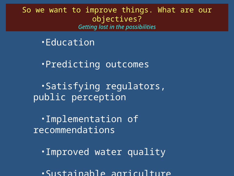
So we want to improve things. What are our objectives?
Getting lost in the possibilities
•Education
•Predicting outcomes
•Satisfying regulators, public perception
•Implementation of recommendations
•Improved water quality
•Sustainable agriculture

Who are the end users and what do they want?Getting lost in the possibilities
In actuality
Action agencies, regulators, consultants, public
Affect change/ minimize adverse impacts
Implementation• Consistent with other
approaches/rules• Data, resources• Readily applied
Improves water quality • quantifiable results?
Intended
Farmers, turf industry, home owners, land managers
Industry specific recs Understand issues and
management options Actionable guidance

P Index
Watershed model
What is the best tool?Simple index or complex model

Complex
Simple vulnerability assessment
IFSMSWATAPEX
AnnAGNPSCBM
P Index
User friendly, water quality
predicting
APLEWI Snap-Plus
OK PPMTX TBET
Current optionsSimple index or complex model
Farm to Watershed
FieldField
SCALE OF APPLICATION
TYPE OF TOOL

How much is lost?
How much is transferred?
What’s the impact?
Vulnerability to P loss or predicting effectsWhat do we want to know?

Simple P IndexModifying current indices and making new ones
Modeled P loss (kg/ha)
SOURCE Factor• Soil Test• Fertilizer
• Rate• Method
• Manure• Rate• Method• PSC
X
Transport Factor• Erosion• Runoff• Leaching• Distance• Modified
Connectivity= P Index
Each Source Factor weighted
Each Transport Factor weighted
Cur
rent
r2=0.52
X =
P IndexSediment P
SOURCE• Soil Test
Sediment Transport• Erosion
Sediment P Factor
Soluble P SOURCE • Manure P• Fertilizer P• Soil Psat
XRunoff Transport
• Runoff = Runoff Soluble P Factor
XLeaching
Transport• Leaching
=Leaching
Soluble P Factor
Each Source Factor weighted
Each Transport Factor weighted Distance
Connectivity
Soluble P SOURCE • Manure P• Fertilizer P• Soil Psat
r2=0.65
Modeled P Loss (kg/ha)
Rev
ised
“C
ompo
nent
” P
I
X =
Adapted from Bolster et al. (2012)

Appropriate Making management decisions Education about important factors of P loss, in
format that makes sense and is conceptually correct
Directionally correct – If I do “X”, will P loss go up or down?
Not appropriate Quantitative uses (unless proven otherwise)
How much PI score changes not same as or consistently proportional to actual P loss
Challenge to meaningfully compare to measured P loss data
Event-based, spatial, beyond edge-of-field evaluations
Best Use of the P Index

r2 0.78 0.15
Correct 83% 53%
Low 10% 11%
High 7% 35%
High erosion, low P
application
Low runoff, erosion high P
application
Simple IndexRequire the verification of complex models

SWAT Ratings
P Index Ratings without Distance Factor
Medium
High
Very High
P loss vulnerability
Low
SWAT vs P Index:Field-by-field ratings

Complex modelsHow do we make them user friendly and adapt them to state
needs?
• SWAT interface for conservation planners• No GIS - Little or no training required• Evaluate practices funded by TSSWCB• Quantitative sediment & nutrient reductions• Extensively validated
Texas BMP Evaluation Tool• Simulates management practices, cropping
systems, and other land uses across range of agricultural landscapes (whole farms and small watersheds)
• Represents suites of practices: filter strip, intensive rotational grazing scenarios, vegetated grassed waterways, and land application of manure
• GIS‐based or Windows‐based interfaces available
• Not yet in an interface such as TBET

Appropriate What areas and land uses contribute the most P? How will field changes affect water quality
downstream? Where do changes need to be made to have the
most impact? How much land needs new practices?
Not appropriate Spatial BMP placement Farm and field-scale management
• Not designed to evaluate specific practices or fields
Complex models

Are we delivering advice that the farmer needs?Forecasting Models
