computer engineering: autodesk inventor - north … engineering: autodesk inventor design a...
TRANSCRIPT
Computer Engineering: Autodesk Inventor Design a Community Specific Plan
Subject Area: Computer Engineering and Autodesk Inventor/Autocad Grade levels: 6th-8th Date: August 2, 2011
Materials included in this Lesson: PowerPoint
Other Materials:
Projector and screen PowerPoint Autodesk inventor or AutoCAD Construction paper Markers Pencil
Skills the Students will Learn:
Regional planning from field to specific plan Designing a community that makes sense Autocad/Autodesk Inventor
Student Deliverables:
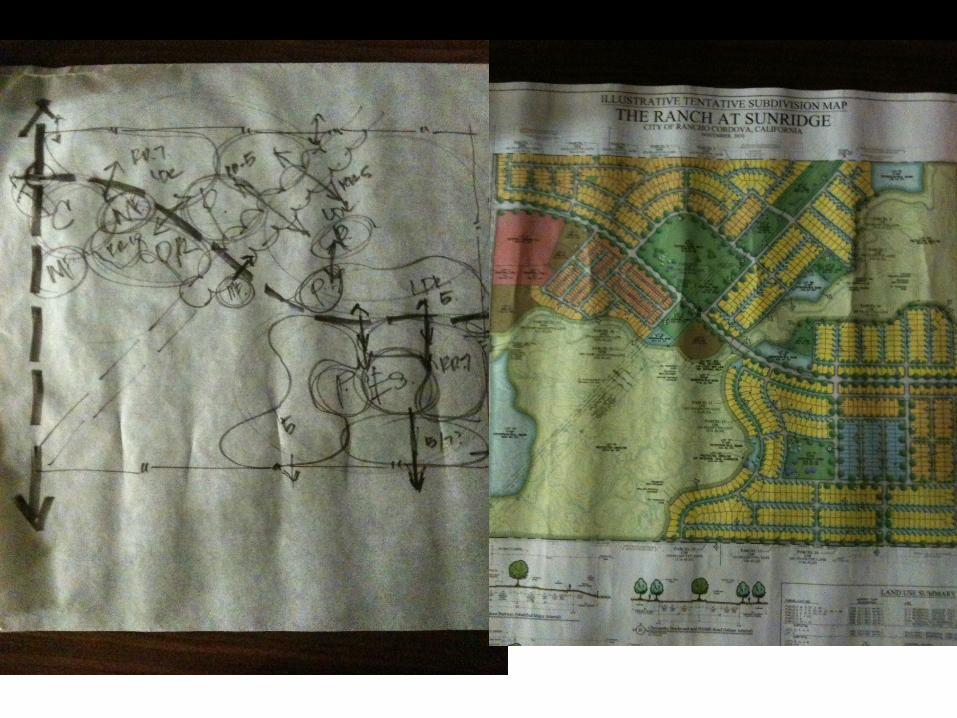
• Bubble Map • Composite Map (hand drawn) • Composite Map (Autodesk)
Activity 1: Background (PowerPoint)
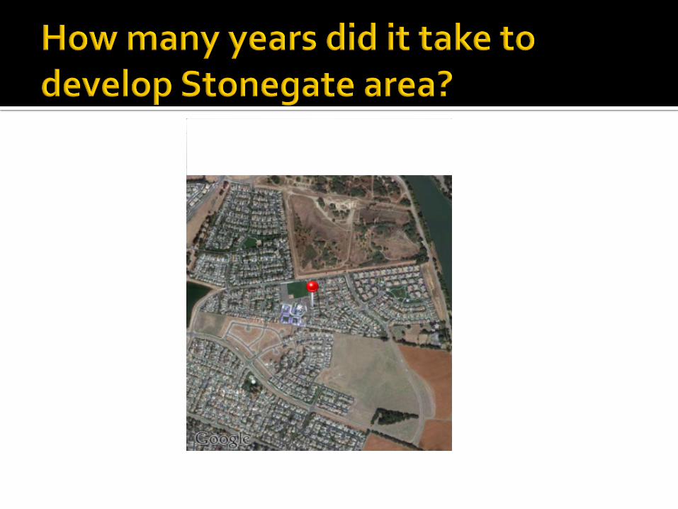
• Google Earth: History from the past 10 years. o I used West Sacramento, CA (Stonegate area) because this is the area that my school is. In 2002, it was a
tomato field. In 2006, Stonegate opened as a school. Any area that has recently changed can work. This is just to show how land develops over time.
• Discuss City General Plan o Every 10 years, each city comes out with a general plan about what areas it wants to be developed. They
zone these areas as residential, commercial or mixed. o Land owners in those areas can decide to sell their land to developers. Often times, investors will look at
general plan and buy up lands in areas that the city wants to develop. They know that the land is worth more if the city is planning on developing. Show area by River City High School where land owner did not want to sell land. The High School was build around him.
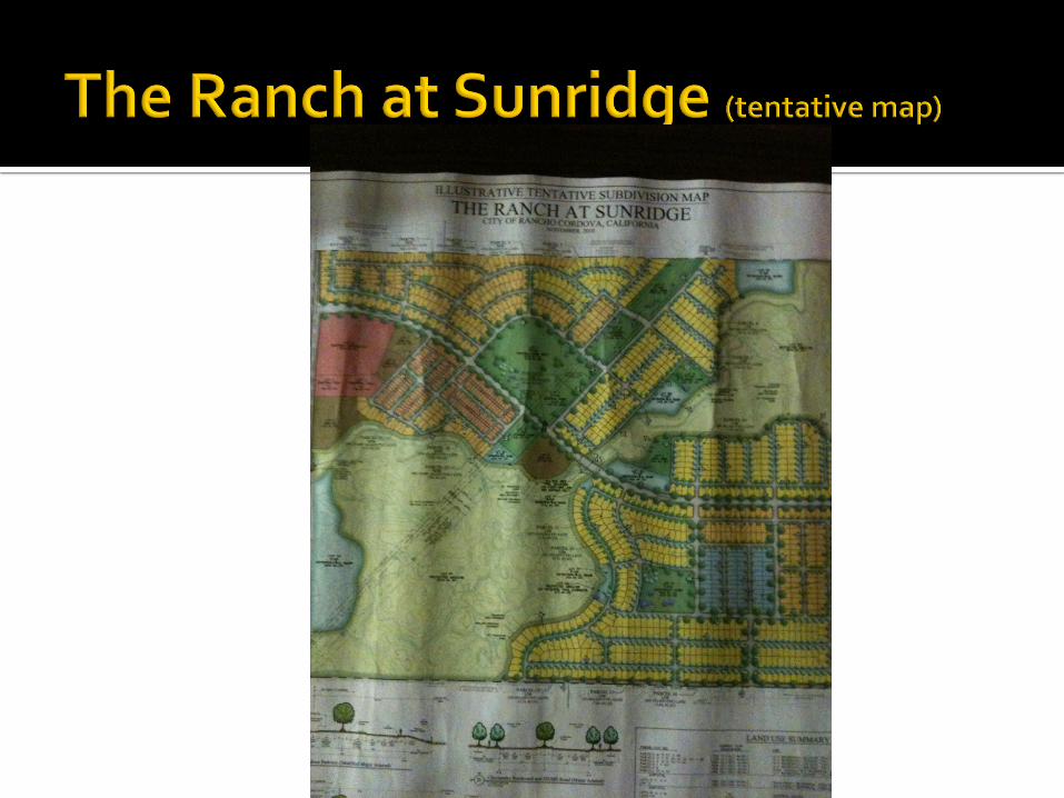
• Specific Plans
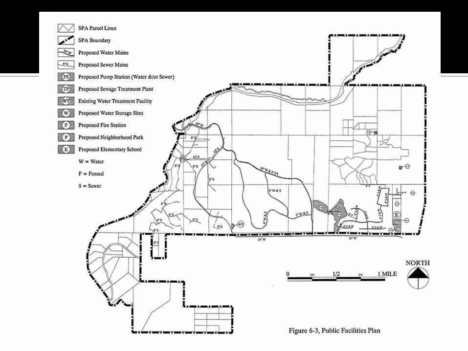
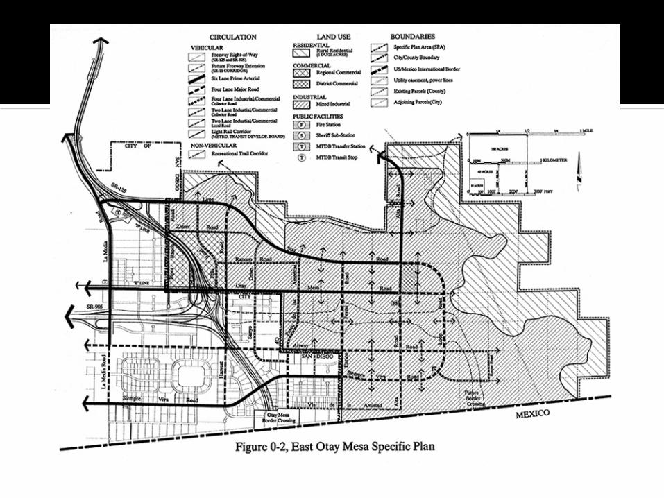
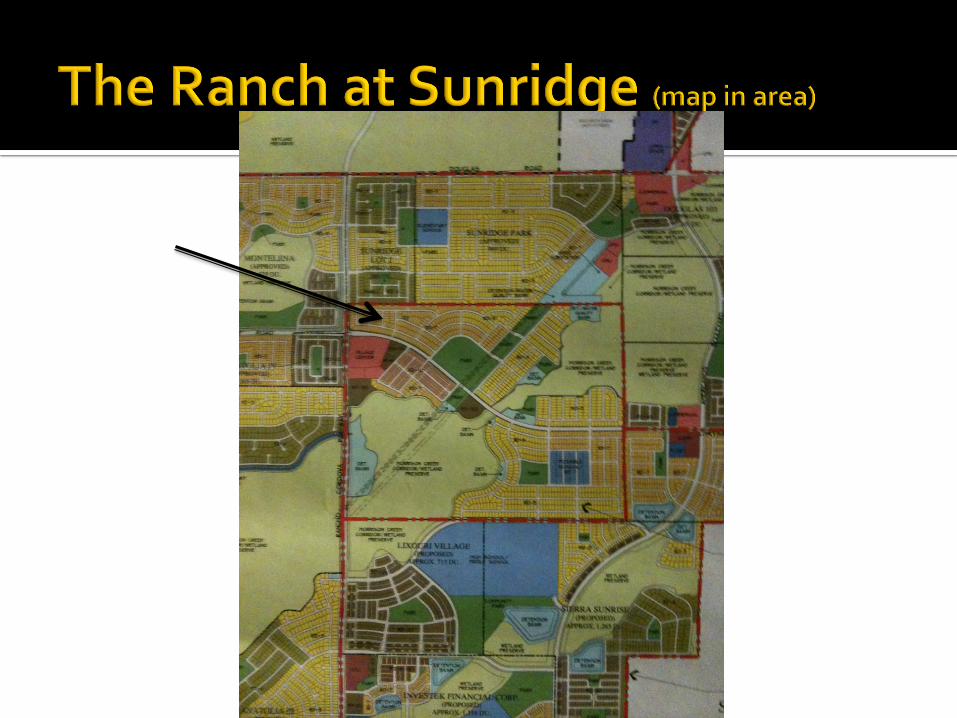
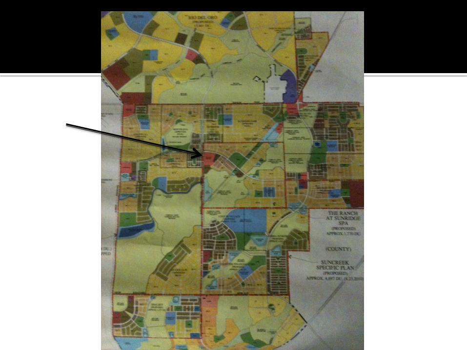
o Engineering consulting firms come up with a plan to develop area to make it fit the general plan. The specific plan includes environmental impact, infrastructure, circulation for cars, bikes, and pedestrians, then include a land-use summary.
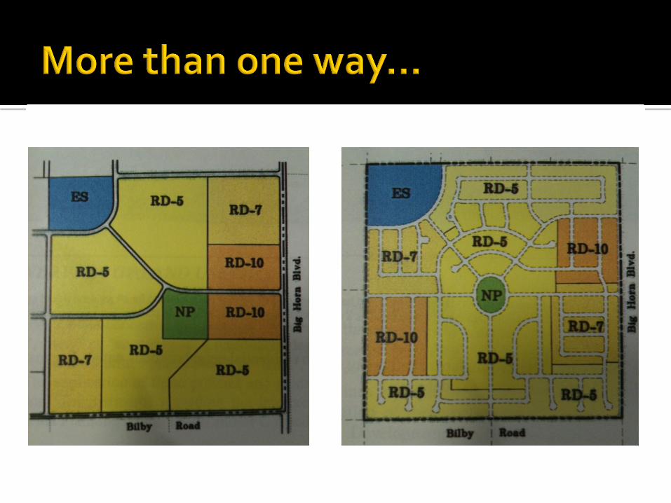
Activity 2: Bubble Maps
• PowerPoint of examples of composite maps/bubble maps • Show criteria of maps (100 x 100 square with 1 high school with attached park, 1 elementary school with attached
park, 1 shopping center on corner, apartments (rd20) around shopping center, 2 smaller parks distributed around, low density residential, streets) All areas labeled.
• Make bubble maps • Teacher approve Bubble Maps
Activity 3: Composite Maps
• Draw composite map on paper. Label all criteria and color coordinators • Teacher approves composite maps
Enrichment Suggestions: Activity 4: Extension Autodesk Inventor/AutoCAD
• Use Autodesk inventor or AutoCAD if available to make the composite plan
Foundation)Academic)Standards))
5.0 Apply appropriate problem solving strategies and critical thinking skills to work-related issues and tasks. 5.3 Use critical thinking skills to make informed decisions and solve problems.
CTEPathway)Standards))A3.1 Understand the ways in which socio-cultural conditions and issues influence architectural design.
A3.4 Use freehand graphic communication skills to represent conceptual ideas, analysis and design concepts.
A6.0 Students understand the use of computer-aided drafting and design in developing architectural design.
C5.0 Students know arious object-editing techniques and CADD programs.
Rubric)
Student)Deliverables)
1)Exceeds)Expectations)
2)Meets))
Expectations)
3)Approaches)Expectations)
4)Fails)to)meets)expectations)
Bubble)Map) Includes)streets,)high)school,)elementary)school,)parks,)shopping)center,)high)density)and)low)density)housing)in)common)sense)locations)and)in)appropriate)proportions.)
Includes)streets,)high)school,)elementary)school,)parks,)
shopping)center,)high)density)and)low)density)housing.))May)be)
missing)one)part.)
Includes)many)of)the)requirements,)but)may)miss))
2L3))
Does)not)complete)bubble)map)
Tentative)Map) Includes)streets,)high)school,)elementary)school,)parks,)shopping)center,)high)density)and)low)density)housing)in)common)sense)locations)and)in)appropriate)proportions.))All)regions)are)color)coordinated)and)
includes)a)legend.)
Includes)streets,)high)school,)elementary)school,)parks,)
shopping)center,)high)density)and)low)density)housing.))May)be)
missing)one)part.)Color)coordinated.)
Includes)many)of)the)requirements,)but)may)miss))2L3.))Legend)may)be)missing)
or)not)colored)in)appropriately.)
Does)not)complete)tentative)map)
)

Lesson)plan)relevance)to)externship)
) The)company)that)I)did)my)externship)with,)Wood)Rogers,)is)an)engineering)consulting)firm)that)makes)specific)
plans)for)many)developments)in)the)region.))Craig)Speiss)works)daily)with)AutoCAD)to)make)sure)the)tentative)plans)incorporate)the)right)percent)of)land)use.))He)works)on)the)composite)maps)that)we)will)be)making)on)Autodesk)inventor.))My)school)does)not)have)AutoCAD,)so)we)are)adjusting)it)to)use)Inventor.)))
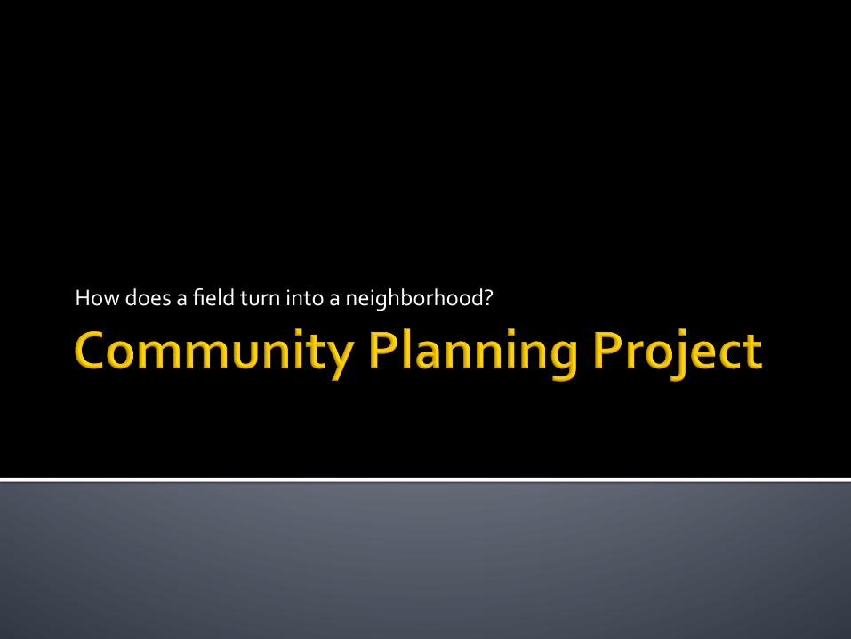
How$does$a$field$turn$into$a$neighborhood?$

! Every$10$years$the$city$creates$a$“general$plan”$
! Includes$what$areas$the$city$wants$to$have$developed$and$how$
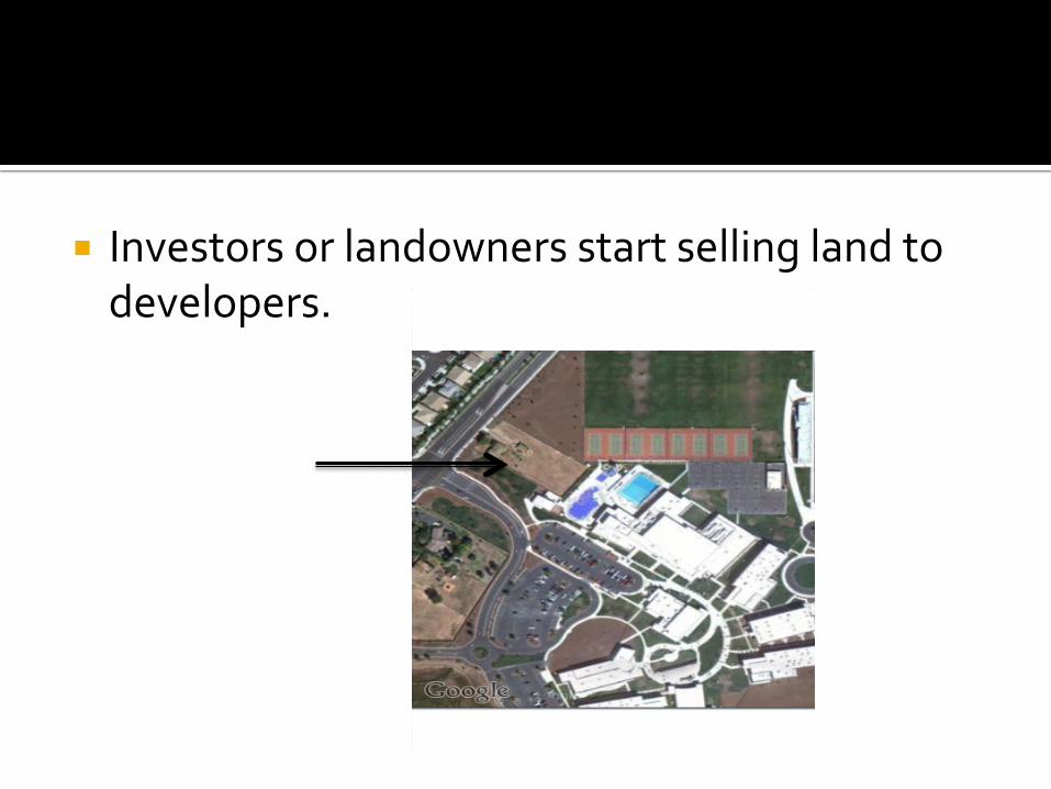
! Investors$or$landowners$start$selling$land$to$developers.$$$
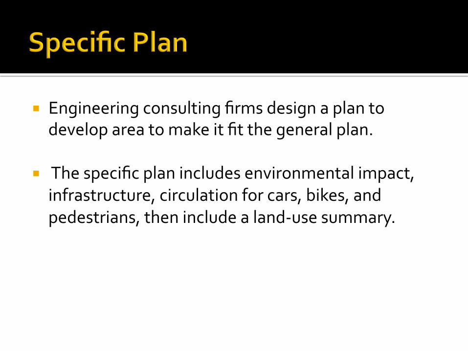
! Engineering$consulting$firms$design$a$plan$to$develop$area$to$make$it$fit$the$general$plan.$$
! $The$specific$plan$includes$environmental$impact,$infrastructure,$circulation$for$cars,$bikes,$and$pedestrians,$then$include$a$landDuse$summary.$$$
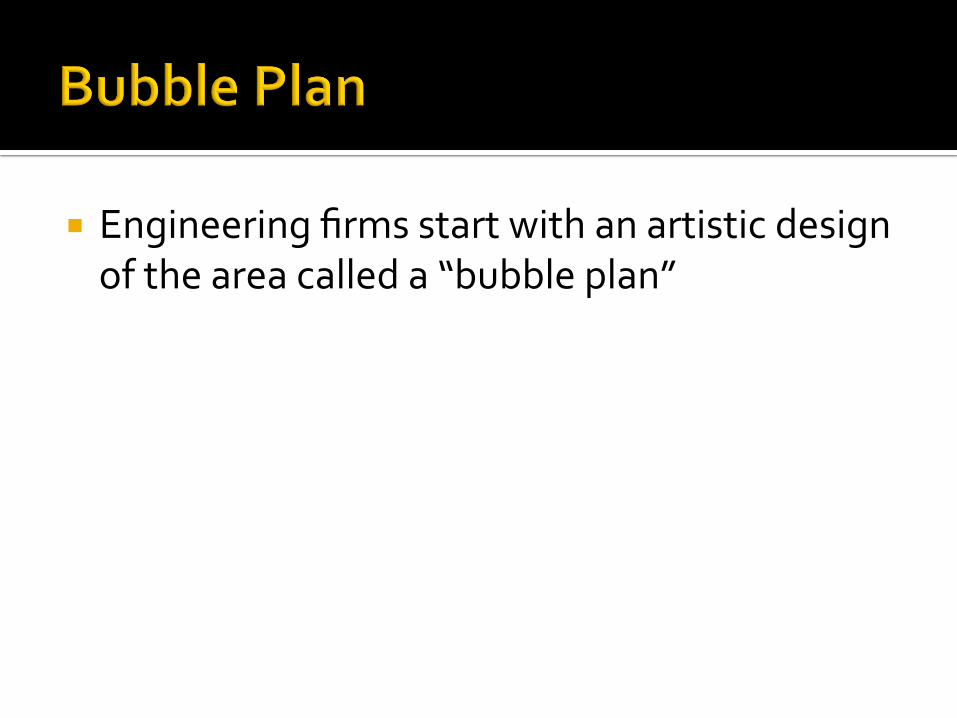
! Engineering$firms$start$with$an$artistic$design$of$the$area$called$a$“bubble$plan”$
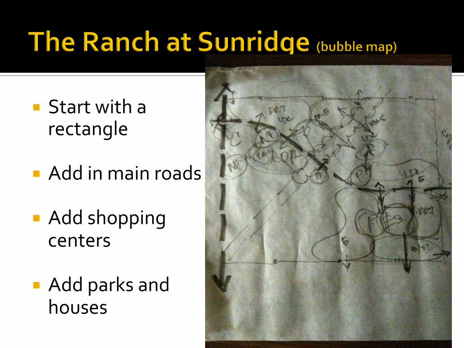
! Start$with$a$rectangle$
! Add$in$main$roads$
! Add$shopping$centers$
! Add$parks$and$houses$
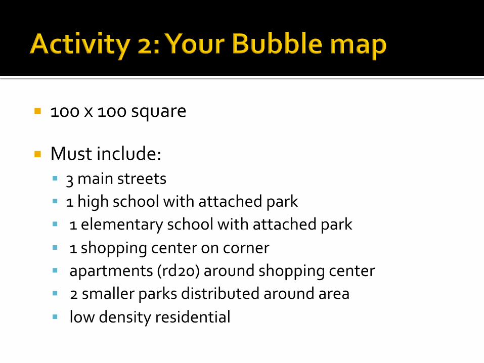
! 100$x$100$square$
! Must$include:$! 3$main$streets$! 1$high$school$with$attached$park$! $1$elementary$school$with$attached$park$! $1$shopping$center$on$corner$! $apartments$(rd20)$around$shopping$center$! $2$smaller$parks$distributed$around$area$! $low$density$residential$
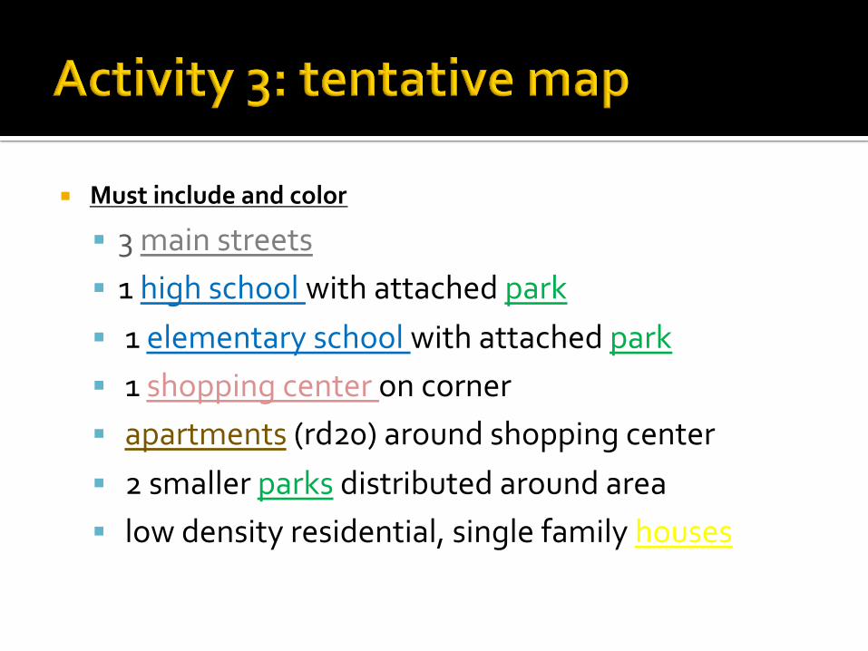
! Must%include%and%color%
! 3$main$streets$! 1$high$school$with$attached$park$! $1$elementary$school$with$attached$park$! $1$shopping$center$on$corner$! $apartments$(rd20)$around$shopping$center$! $2$smaller$parks$distributed$around$area$! $low$density$residential,$single$family$houses$