d istribution of w ater on e arth chapter 1c - hydrology messana science 8
TRANSCRIPT
DISTRIBUTION OF WATER ON EARTHChapter 1C - Hydrology
Messana
Science 8
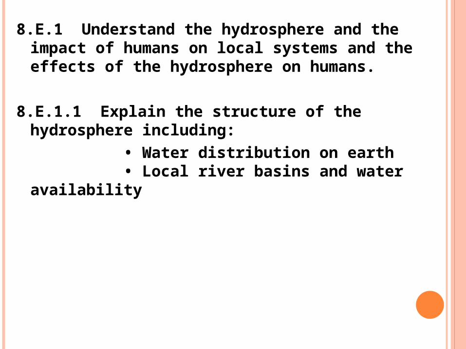
8.E.1 Understand the hydrosphere and the impact of humans on local systems and the effects of the hydrosphere on humans.
8.E.1.1 Explain the structure of the hydrosphere including:
• Water distribution on earth• Local river basins and water
availability

THIRST VIDEO http://www.slideshare.net/jbrenman/thirst
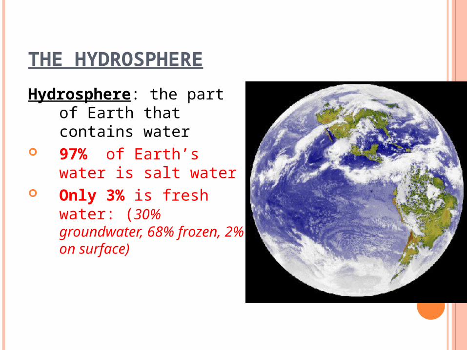
THE HYDROSPHERE
Hydrosphere: the part of Earth that contains water
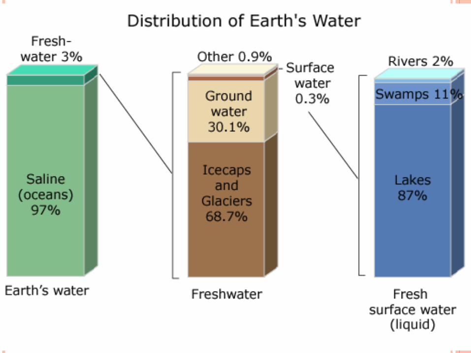
97% of Earth’s water is salt water
Only 3% is fresh water: (30% groundwater, 68% frozen, 2% on surface)
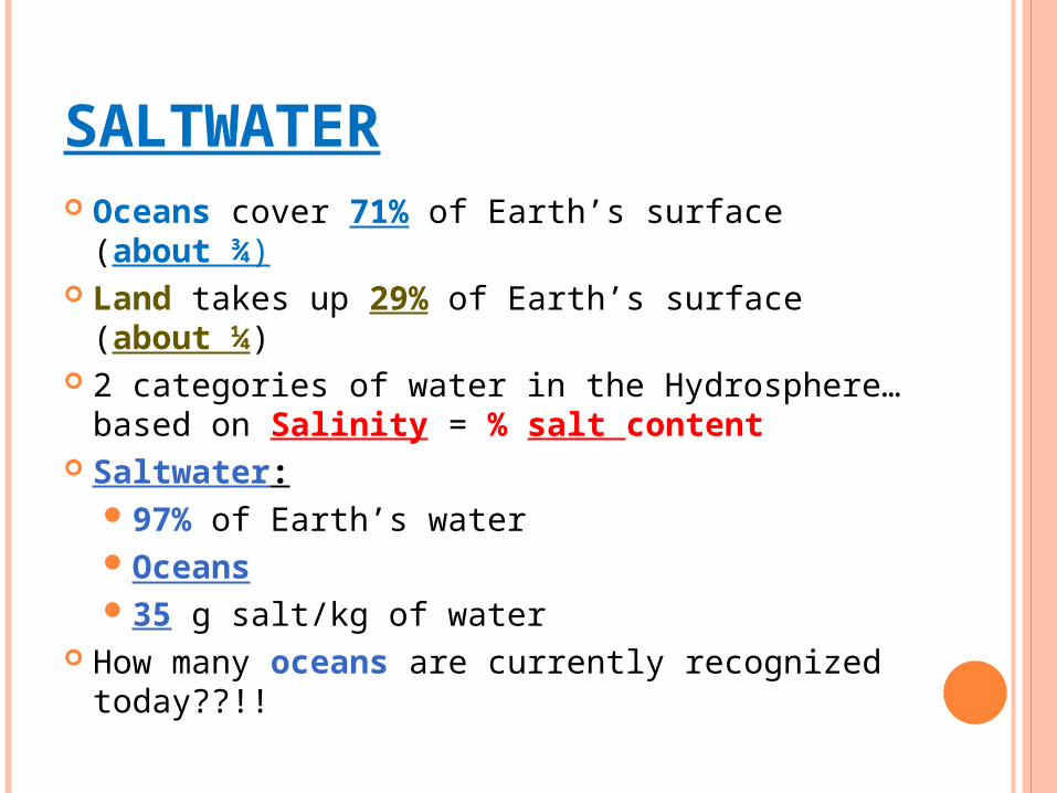
SALTWATER Oceans cover 71% of Earth’s surface
(about ¾) Land takes up 29% of Earth’s surface
(about ¼) 2 categories of water in the Hydrosphere…
based on Salinity = % salt content Saltwater:
97% of Earth’s waterOceans35 g salt/kg of water
How many oceans are currently recognized today??!!
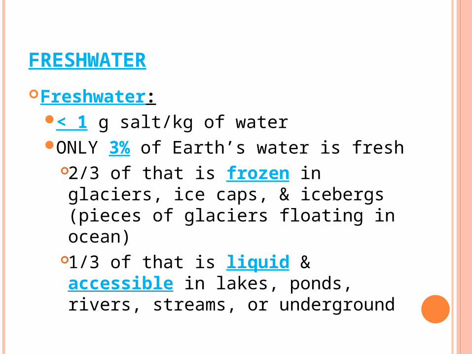
FRESHWATER
Freshwater:< 1 g salt/kg of waterONLY 3% of Earth’s water is fresh
2/3 of that is frozen in glaciers, ice caps, & icebergs (pieces of glaciers floating in ocean)
1/3 of that is liquid & accessible in lakes, ponds, rivers, streams, or underground
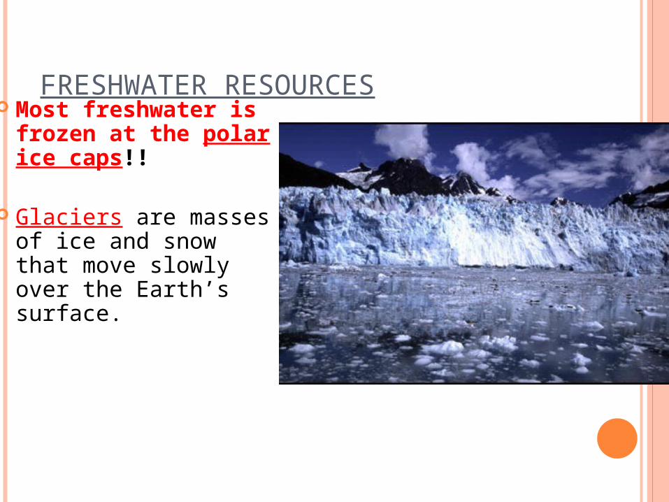
FRESHWATER RESOURCES Most freshwater is
frozen at the polar ice caps!!
Glaciers are masses of ice and snow that move slowly over the Earth’s surface.
WHERE’S THE WATER?

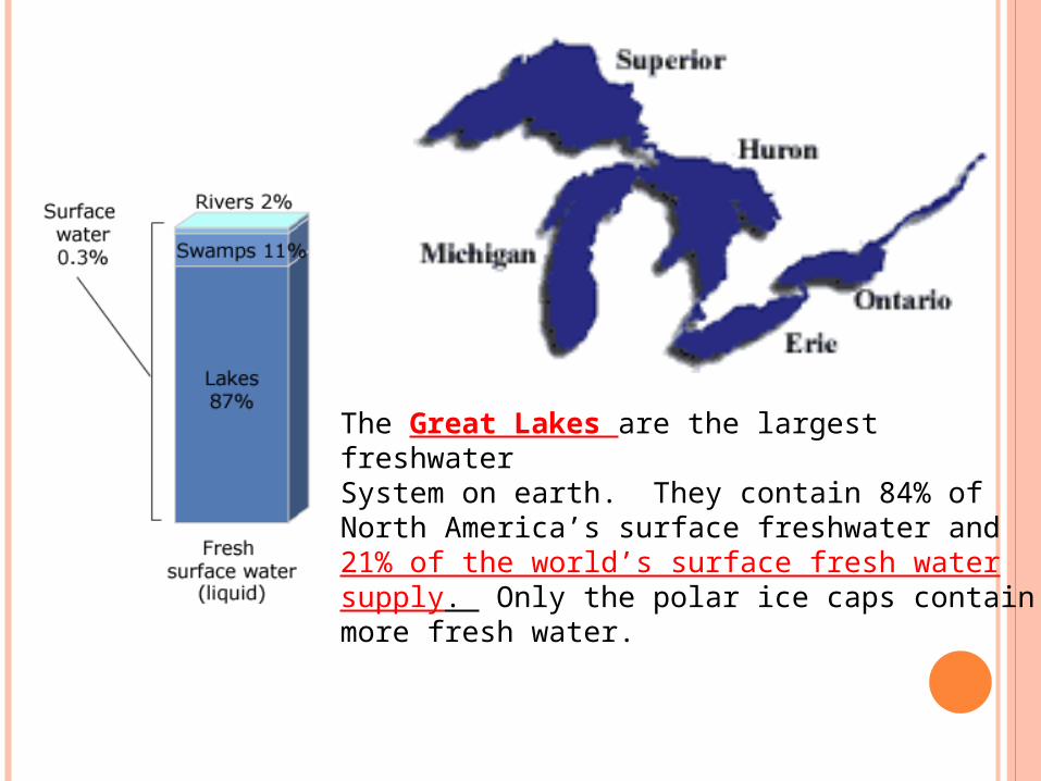
The Great Lakes are the largest freshwaterSystem on earth. They contain 84% of North America’s surface freshwater and 21% of the world’s surface fresh watersupply. Only the polar ice caps containmore fresh water.

WATER CYCLE – QUICK REVIEW
1. Sun heats the water on the surface of Earth 2. Freshwater evaporates into atmosphere as
water vapor (salt in ocean stays behind) 3. Water vapor cools & condenses on dust particles
to form clouds 4. Water falls back to Earth as precipitation in the
form of rain, sleet, snow, or hail 5. Precipitation that hits surface either gets
absorbed into ground, stays trapped as standing water, or moves downhill as “run-off” back into lakes, ponds, rivers, streams, oceans
**The amount of water on Earth stays the same!!**
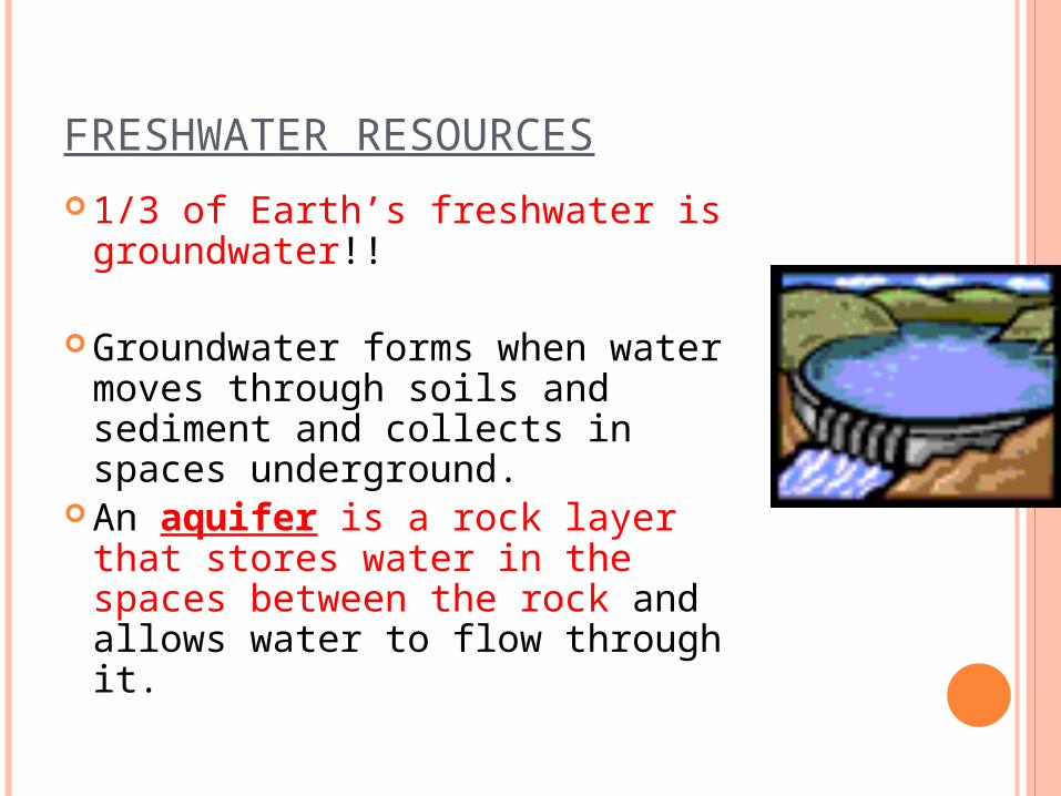
FRESHWATER RESOURCES
1/3 of Earth’s freshwater is groundwater!!
Groundwater forms when water moves through soils and sediment and collects in spaces underground.
An aquifer is a rock layer that stores water in the spaces between the rock and allows water to flow through it.
WATER DRAINAGE PATTERNS
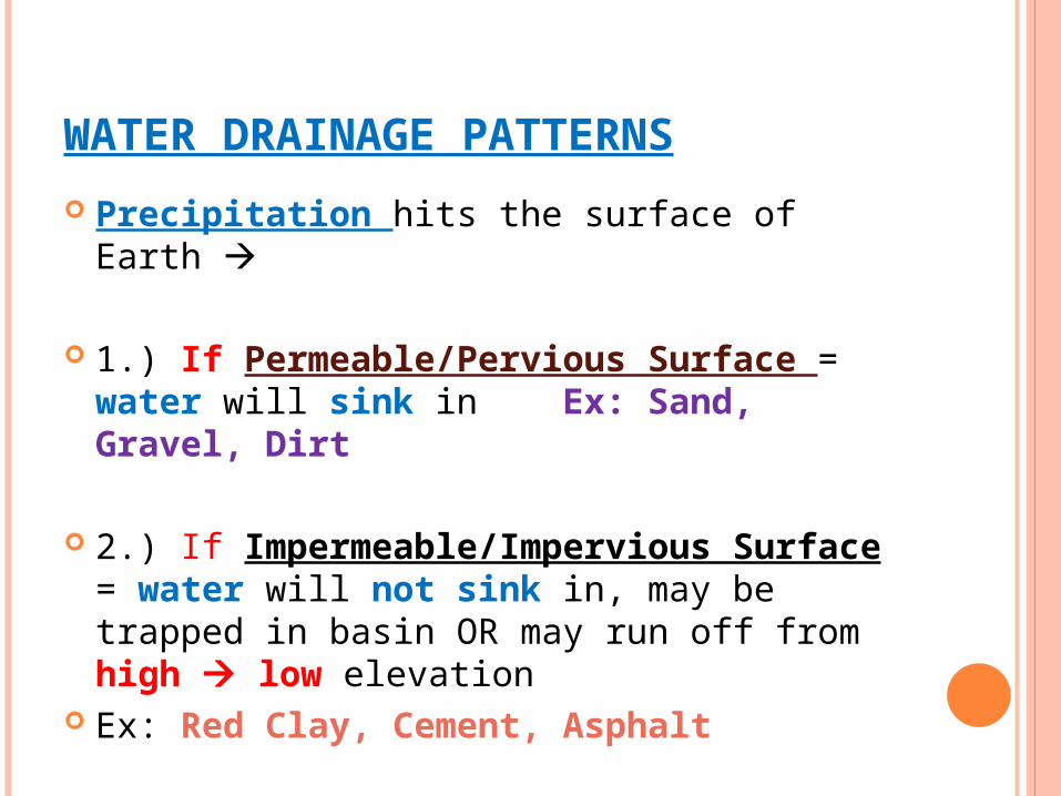
Precipitation hits the surface of Earth
1.) If Permeable/Pervious Surface = water will sink in Ex: Sand, Gravel, Dirt
2.) If Impermeable/Impervious Surface = water will not sink in, may be trapped in basin OR may run off from high low elevation
Ex: Red Clay, Cement, Asphalt
WATER DRAINAGE PATTERNS
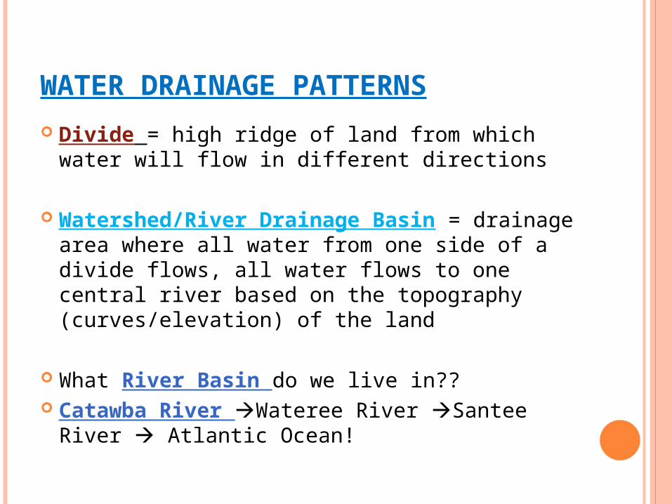
Divide = high ridge of land from which water will flow in different directions
Watershed/River Drainage Basin = drainage area where all water from one side of a divide flows, all water flows to one central river based on the topography (curves/elevation) of the land
What River Basin do we live in?? Catawba River Wateree River Santee
River Atlantic Ocean!
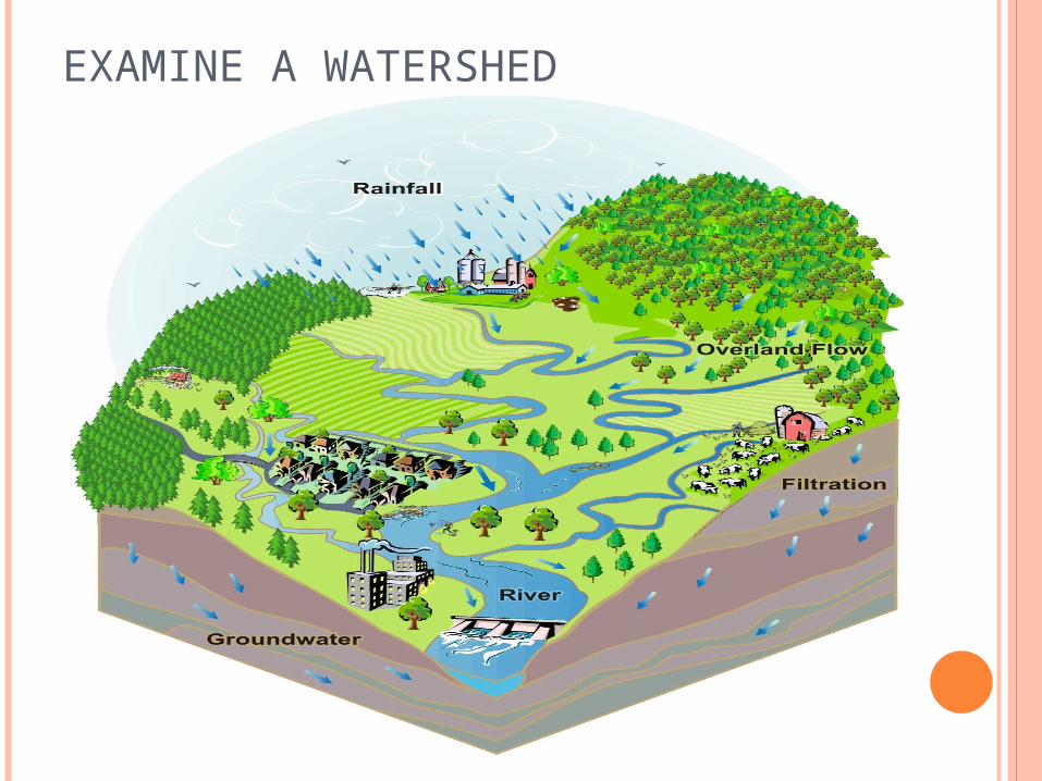
EXAMINE A WATERSHED
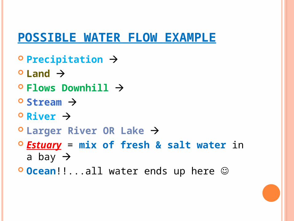
POSSIBLE WATER FLOW EXAMPLE
Precipitation Land Flows Downhill Stream River Larger River OR Lake Estuary = mix of fresh & salt water in a
bay Ocean!!...all water ends up here
GROUNDWATER
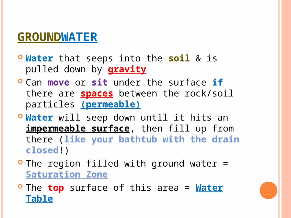
Water that seeps into the soil & is pulled down by gravity
Can move or sit under the surface if there are spaces between the rock/soil particles (permeable)
Water will seep down until it hits an impermeable surface, then fill up from there (like your bathtub with the drain closed!)
The region filled with ground water = Saturation Zone
The top surface of this area = Water Table
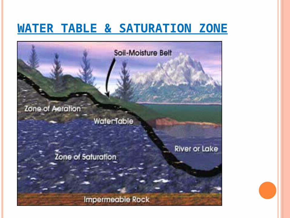
WATER TABLE & SATURATION ZONE
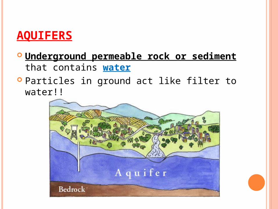
AQUIFERS
Underground permeable rock or sediment that contains water
Particles in ground act like filter to water!!
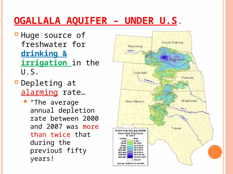
OGALLALA AQUIFER – UNDER U.S. Huge source of
freshwater for drinking & irrigation in the U.S.
Depleting at alarming rate… “The average annual
depletion rate between 2000 and 2007 was more than twice that during the previous fifty years!”
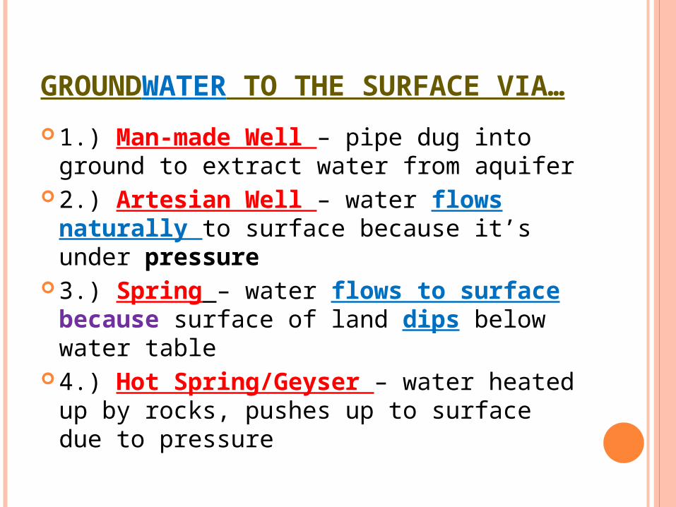
GROUNDWATER TO THE SURFACE VIA…
1.) Man-made Well – pipe dug into ground to extract water from aquifer
2.) Artesian Well – water flows naturally to surface because it’s under pressure
3.) Spring – water flows to surface because surface of land dips below water table
4.) Hot Spring/Geyser – water heated up by rocks, pushes up to surface due to pressure
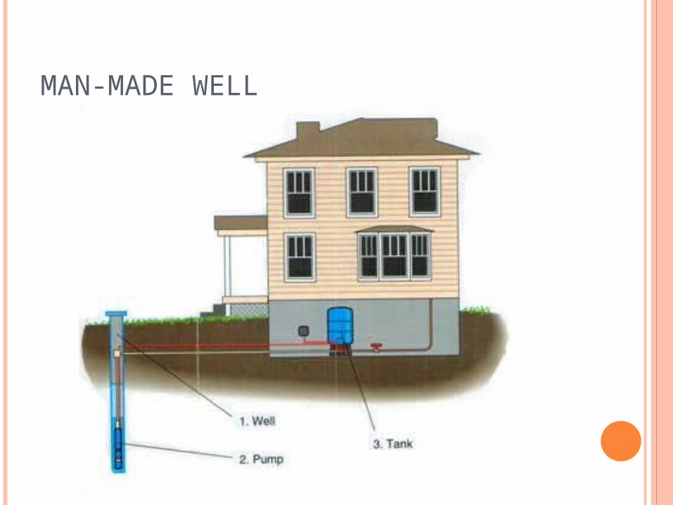
MAN-MADE WELL
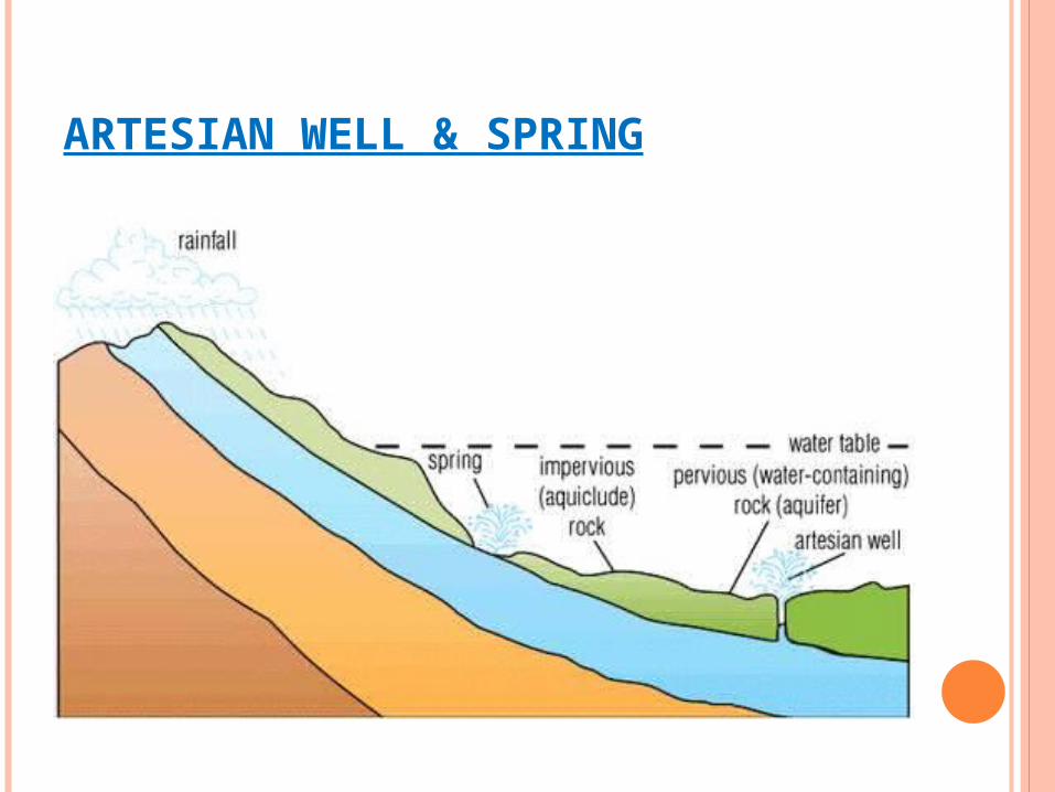
ARTESIAN WELL & SPRING
GEYSER IN ICELAND – YOUTUBE CLIP
http://www.google.com/url?q=http://www.youtube.com/watch%3Fv%3DW-daow-LojM&sa=U&ei=n65CT8aeApDcgge2o63lCw&ved=0CCgQtwIwAg&usg=AFQjCNEpLlDlSzVPx4aS-Tu3nfBc1pCkKw
http://www.youtube.com/watch?v=tShhZvvIM84&feature=related

http://www.youtube.com/watch?v=wJ3CKgZEitw&feature=player_embedded#!
http://www.youtube.com/watch?v=gTqLQO3L4Ko