delivering a free interactive mapping application for field locator use presented by stephen w....
TRANSCRIPT

Delivering a Free Interactive Mapping Application for Field
Locator Use
Presented by
Stephen W. Adams – Manager, Geospatial Services
Tim Hoeflich – GIS Analyst, Geospatial Services

Agenda
Background Problem Solution Demonstration Technical Details Distribution Issues Ongoing Maintenance Plan

Background
Scope 245,000 locate tickets annually in IN 135,000 locate tickets annually in OH/KY
Existing Process Request URD maps from district offices Return to field to mark facilities using
URD maps as a guide

Problems
Manual URD maps frequently unavailable, outdated, and/or inaccurate
Office resources required to help contractors locate URD maps

Manual URD Map

Problems
GIS-Generated URD maps do not contain secondary, secondary pedestals, or lighting information
GIS-Generated URD maps only cover subdivision areas

GIS-Generated URD Map

Solution Develop a low-cost (free?) application
for contractor crews to view GIS data Must include:
Secondary Secondary Pedestals Services Lighting
Must allow users to interactively navigate to area of interest

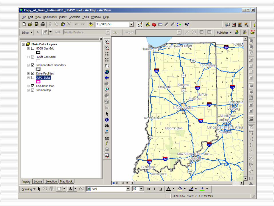
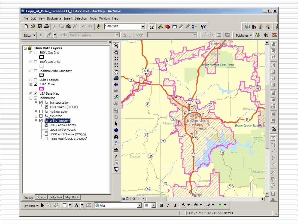
GIS Standard Map

Demonstration


Distribution Methodology
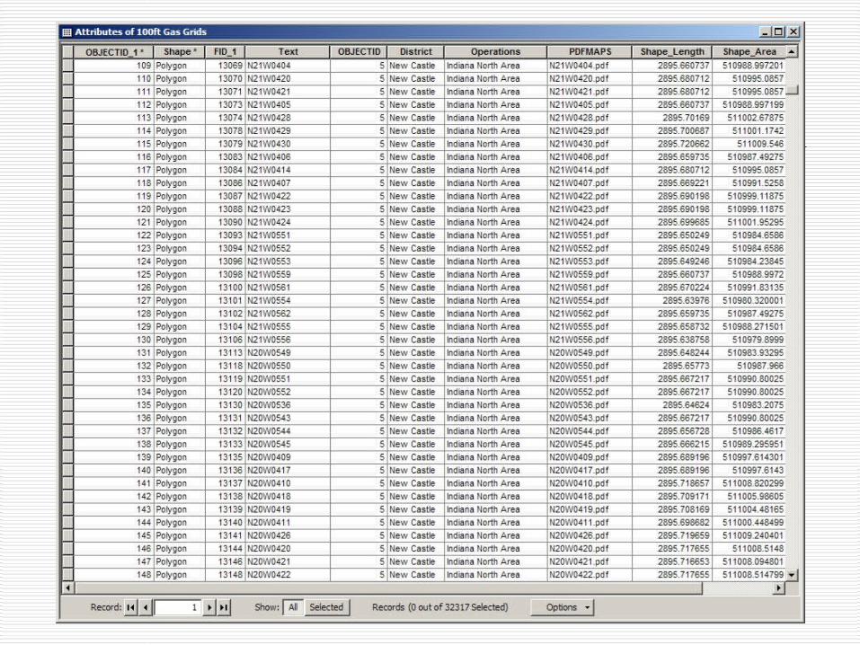
DVD including: ArcReader installation files Adobe Acrobat installation files 32,000+ PDF map files .pmf files Installation Instructions
Ongoing Maintenance Plan
Quarterly updates of PDF files distributed via DVD

Future Enhancements
Address lookup Reduced update cycle Web-based version
Questions