developing travel models in rural areas based on actual, current, local data cy smith, ceo sashi...
TRANSCRIPT

Developing Travel Models in Rural Areas Based on
Actual, Current, Local Data
Cy Smith, CEO
Sashi Gandavarapu, Data Services Manager
AirSage
AgendaExamine how cellular data allows less-populated areas to develop travel models based on actual, current, local data versus relying on synthetic models.
• Rural traffic planning challenges
• How new, passive data are collected and applied
• Solutions: review actual case studies and results:
• South Alabama Regional Planning Commission (SARPC)
• Ohio-Kentucky-Indiana Regional Council of Governments (OKI)
• Moore County, North Carolina

Rural Area Traffic Planning Challenges• Household travel surveys – expensive, time consuming
• Traditional survey methods – often miscount and don’t differentiate between residents and visitors
• Difficult to justify time and expense to conduct travel surveys
• Data for entire regions or state-to-state to include urban and rural – financially and logistically impossible
• Sometimes must resort to using data from nearby or similar areas

How New, Passive Data is Collected and Applied
• Passively collected from the network signaling data between towers and phones
• Anonymous mobile signals: all personal information is removed
• Data is then geographically located via tower triangulation to yield a time-stamped location (lat/long)
• The data is also tagged with estimated accuracy and validity of each location
• Output then aggregated between census tracts or TAZs
• Population is then synthesized

Synthesized Population Accuracy: Niceville, FL
The estimation of traffic
flows using the AirSage data
compares within 3% of the
average daily machine counts
for the same period. This is
within range of counter error
and provides very good
correlation with the origin
and destination
data.
- Tom Hiles, HDR
“
”


Case Study: SARPCSouth Alabama Regional Planning Commission

SARPC: Background
• The SARPC built a multi-county travel demand model to guide regional transportation construction planning for the next 25 years
• Used traditional methods to capture traffic data using pneumatic road tubes, network of traffic counts, and limited HHTS
• Before committing the resources for implementation, SARPC used mobile data to capture and analyze one month of data

SARPC: Data Inputs• Assembled mobile data from carriers for the entire month of June
2012
• Identified transactions being carried out by likely trip makers in study area
• Aggregated estimated linked trip OD zonal pairs for each identified trip
• Trip purpose identified:
• Home-Based Work (HBW)
• Home-Based Other (HBO)
• Non-Home-Based (NHB)

SARPC: Outcome
• 84% of the total trips were made by resident devices
• Of those resident trips, 56% were resident commuter (47% of all trips)
• 44% were resident non-commuter (37% of all trips)
• Planners had hoped to confirm statistics on carpooling, but discovered that 16% of identified trips were made by visitors to the region
• Validating its model using data from every road – no matter how rural – in the three-county region showed:• cellular signaling data has the potential to change the way people
calibrate their models
• with unprecedented levels of confidence
• and significant cost savings over traditional traffic-planning methods
Percentages rounded

SARPC: Employment Trip Ends
County Mobile Baldwin George Jackson Total
Mobile 116,619 5,561 560 2,923 125,662
Baldwin 8,419 44,879 9 272 53,580
George 2,896 153 5,331 857 9,236
Jackson 3,102 256 784 32,034 36,176
Total 131,036 50,849 6,684 36,085 224,654
Cell phone based county-to-county and intra-county trip interchanges compared to the US Census Longitudinal OD Employment Statistics (LODES) data for the Mobile metropolitan area.
County Mobile Baldwin George Jackson Total
Mobile 120,684 8,767 354 87 129,892
Baldwin 17,524 38,554 23 7 56,108
George 1,970 145 1,755 2,028 5,898
Jackson 985 77 779 28,530 30,371
Total 141,163 47,543 2,911 30,652 222,269
Air
Sag
e
HB
WC
en
su
s
LO
DES

SARPC: Calibration
• Trip distribution parameters were tested in the model to determine reasonableness against observed travel behavior.
• Trip length frequency distribution (TLFD) curves – analyzed available mobile data to estimate a gamma distribution function describing the shape of the TLFD curve for each trip purpose.
Trip Length Frequency Distribution Curves (gamma distribution function)
HBW HBO NHB
Trip Length 18.1924 15.868876 17.19881006
a 0.0000 0.0004 0.0001
b 4.8049 3.3254 4.0215
c -0.3190 -0.2725 -0.2919

SARPC: Validation
• After applying the calibrated trip distribution model, results entered into the new 2010 base year traffic assignment model and compared to Alabama DOT 2010 traffic counts by functional class
• Final base year 2010 traffic assignment results:Overall match against counts is within -0.6% at 99.4% of total counted volume and the overall match against VMT is within 0.1% at 100.1% of total counted volume.
RMSE% overall is at 33%; the RMSE by category is within acceptable ranges for each classification

SARPC: Outcome• The mobile data
also provided the home locations of travelers over the study period
Example: Travelers Across Mobile Bay, Alabama

Case Study: OKIOhio-Kentucky-Indiana Regional Council of Governments

OKI: Background• Create updated travel model for the tri-state area that would
accurately document current travel patterns and forecast transportation needs for the next 30 years
• Last similar survey was done in 1995 and relied upon a combination of data sources, including household studies, GPS tracking and freeway surveys.
• The last Household Travel Survey (HHTS) took more than two years to complete and cost $1.2 million
• New study primary goals:
1. Measure where people are coming from and going to
2. Differentiate travelers who are part of the region from travelers simply going through the region

OKI: Challenge
• No longer had access to a key data source: freeway surveys
• 98% of all traffic in the area travelled on the freeway
- Andrew Rhone, Transportation Modeling Manager and Project Leader for OKI
“If we mess up and the model says it should take 2 lanes and it really needed 4, the cost of getting it wrong could be 10-20 years of people sitting in traffic.”
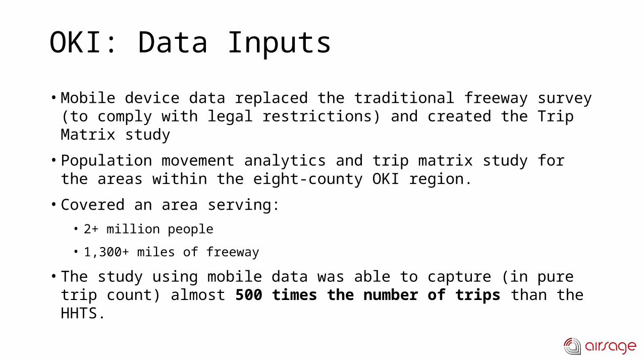
OKI: Data Inputs
• Mobile device data replaced the traditional freeway survey (to comply with legal restrictions) and created the Trip Matrix study
• Population movement analytics and trip matrix study for the areas within the eight-county OKI region.
• Covered an area serving:
• 2+ million people
• 1,300+ miles of freeway
• The study using mobile data was able to capture (in pure trip count) almost 500 times the number of trips than the HHTS.

OKI: Outcome• Captured data from more than 2 million people on 1,300 miles of
freeway
• Delivered almost 500 times the number of trips from previous HHTS
• Previous HHTS took 2+ years to complete at a cost of $1.2 million
• The mobile data study was completed in 2 months at 93% cost savings
Zone 1 Zone 2 Zone 3 Zone 4 Zone 5 Zone … Total
Zone 1
Zone 2
Zone 3Count of
Trips
Zone 4
Zone 5
Zone …
Total
Trip Destination
Trip
Orig
inati
on

Case Study: Moore CountyMoore County, North Carolina
Rhett Fussel, Parsons Brinckerhoff

Moore County: Background
• Moore County’s transportation planning did not have access to reliable information about traffic volumes and travelers on U.S. 1, from Aberdeen through Southern Pine
• Household travel survey was expensive and inaccurate
• Previous small sample sizes often represented as few as 1/100 households
• Study gathered 11.6 million trips representing 1/6 Moore County residents
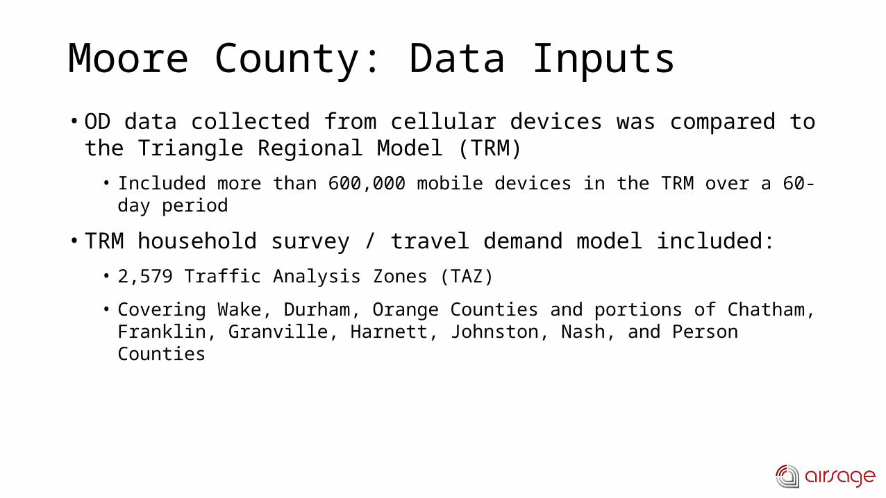
Moore County: Data Inputs• OD data collected from cellular devices was compared to the
Triangle Regional Model (TRM)
• Included more than 600,000 mobile devices in the TRM over a 60-day period
• TRM household survey / travel demand model included:
• 2,579 Traffic Analysis Zones (TAZ)
• Covering Wake, Durham, Orange Counties and portions of Chatham, Franklin, Granville, Harnett, Johnston, Nash, and Person Counties

County-to-County Flows (Through Trips)


Moore County: Calibration• Advanced trip-based model estimated and calibrated using travel
survey data collected in 2006
• Key data elements supporting this research include:
• Socioeconomic data by TAZ
• Internal and external trip tables by time of day
• Attributed highway network

Moore County: AnalyzingTo compare AirSage and TRM data, two separate AM peak hour assignments were performed using this analytical process

Moore County: Analyzing
• The area where the two methodologies differed greatly was the highway assignment comparisons to traffic counts by functional classification.
• In rural areas, classifications 23-26, mobile data matched traffic counts more accurately than the TRM.
Highway Assignment Comparisons by Functional Class

Moore County: Analyzing
When comparing highway assignments to traffic counts by volume group, results between the two methodologies are slightly closer, with the mobile data having a lower margin of error.
Assignment Comparisons by Volume Group
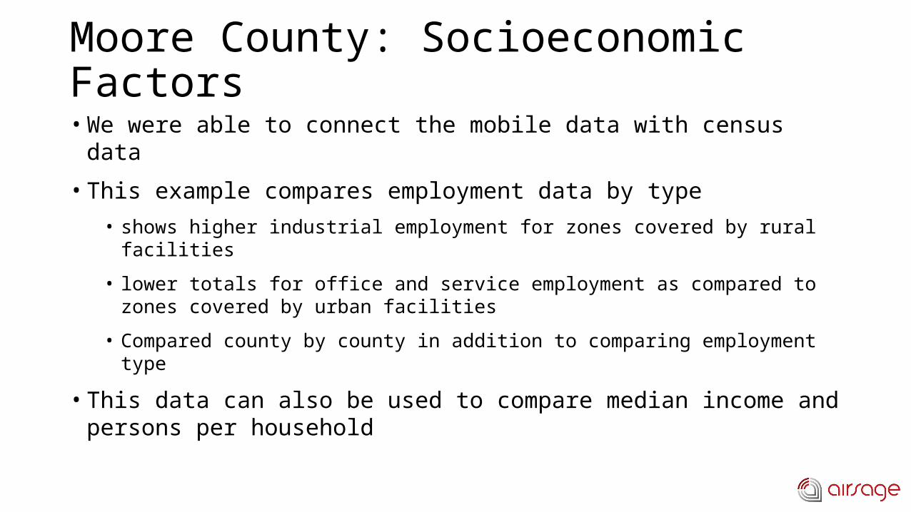
Moore County: Socioeconomic Factors• We were able to connect the mobile data with census data
• This example compares employment data by type
• shows higher industrial employment for zones covered by rural facilities
• lower totals for office and service employment as compared to zones covered by urban facilities
• Compared county by county in addition to comparing employment type
• This data can also be used to compare median income and persons per household

http://airsage.com/News/Nationwide-Commute-Report/
Test the Data – Nationwide Commute Report (Free)
• AirSage offers free Nationwide Commute data that can answer questions like:
• How many people commute to my county and from which counties do they commute?
• Which top 20 counties do people commute from when commuting to my county?
• Which nationwide counties do people commute to that live in my county?
• How can I see indications of the labor market shifting across the nation?• Use the data to help:
– Analyze regional & state-wide commute patterns
– capital project / infrastructure prioritization
– understand consumer commute patterns
– transportation model validation
– transit planning and more…


Appendix

Appendix: SARPC

SARPC: Total Trips by Purpose
Trip Matrix: Purpose (Internal Trips)MATS 2007 AirSage 2012 NCHRP 2009 Ranges
Trips Percent Trips Percent Low High
HBW 279,300 26.13% 124,403 11.0% 14.0% 15.0%
HBO 563,900 52.76% 582,190 51.3% 54.0% 56.0%
NHB 225,600 21.11% 427,636 37.7% 30.0% 31.0%
Total 1,068,800 100.0% 1,134,229 100.0% - -
Comparison of trips obtained to the previous Mobile MPO TDM and the proportion of trips by purpose compared to NCHRP reported typical ranges

SARPC: Employment Trip Ends
County Mobile Baldwin George Jackson Total
Mobile 116,619 5,561 560 2,923 125,662
Baldwin 8,419 44,879 9 272 53,580
George 2,896 153 5,331 857 9,236
Jackson 3,102 256 784 32,034 36,176
Total 131,036 50,849 6,684 36,085 224,654
Cell phone based county-to-county and intra-county trip interchanges compared to the US Census Longitudinal OD Employment Statistics (LODES) data for the Mobile metropolitan area.
County Mobile Baldwin George Jackson Total
Mobile 120,684 8,767 354 87 129,892
Baldwin 17,524 38,554 23 7 56,108
George 1,970 145 1,755 2,028 5,898
Jackson 985 77 779 28,530 30,371
Total 141,163 47,543 2,911 30,652 222,269
Air
Sag
e
HB
WC
en
su
s
LO
DES

SARPC: Employment Trip Ends
County Mobile Baldwin George Jackson Total
Mobile -4065 -3,206 206 2,836 -4,230
Baldwin -9,105 6,325 -14 265 -2,528
George 926 8 3,576 -1,171 3,338
Jackson 2,117 179 5 3,504 5,805
Total -10,127 3,306 3,773 5,433 2,385
Difference: variance in the total is ~1% of the total trips, the deficit related to trips destined for Mobile County is significant because Mobile County is the core of the study area.