door county floodplain program informational meetingmap.co.door.wi.us/planning/2018 january meeting...
TRANSCRIPT
Door County Floodplain
Program Informational Meeting
Door County Land Use Services Department
Wisconsin Department of Natural Resources
January 15, 2018

Floodplain = Land affected by flood event with a
1% chance of occurring in any given year
(often incorrectly called “100-year flood”)

Understanding Flood Risk
Floods are the #1 natural disaster in
the United States
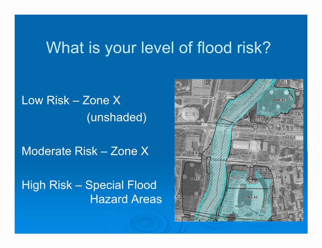
What is your level of flood risk?
Low Risk – Zone X
(unshaded)
Moderate Risk – Zone X
High Risk – Special Flood
Hazard Areas
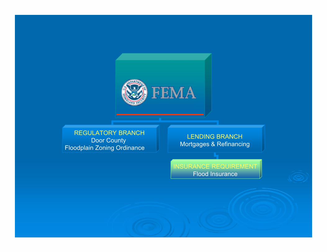
_______REGULATORY BRANCH
Door County
Floodplain Zoning Ordinance
LENDING BRANCH
Mortgages & Refinancing
INSURANCE REQUIREMENT
Flood Insurance

National Flood Insurance Program (NFIP)
Created by the National Flood Act of 1968
� Participation in the NFIP is Voluntary
� Mutual agreement with FEMA and Community
� Community agrees to adopt and enforce floodplain
management regulations
� Participation in the NFIP makes flood insurance available to
the residents and businesses in your community
� Flood insurance is a requirement of federal loans.
• Many forms of disaster assistance are a type of federal
loan or other federal financial assistance
� Eligible for FEMA Hazard Mitigation Grants
� Management of development in the floodplains results in
construction practices that can reduce flood losses and the
high costs associated with flood disasters to all levels of
government

7
Components of the NFIP
Insure Your Risk
Reduce Your Risk
Know Your Risk
Mapping Flood
Hazards
Insurance and
Outreach
Flood Management
Flood
Mitigation

National Flood Insurance Programis aimed at reducing the impact of flooding on private and public structures
Local RoleFederal Role
WDNR
• Enroll communities in National
Flood Insurance Program (NFIP)
• Provide Federal Flood Insurance to citizens in
participating communities
• Risk identification (Map Production)
• Establish minimum development protection
standards
• Provide flood insurance coverage
• Inform and educate the public
• Provide technical assistance
� Adopt and enforce flood damage
� prevention ordinance
� Permit development in Special Flood
Hazard Area (SFHA)
� Require elevation data on SFHA
structures
� Provide Flood zone determinations
� Substantial damage/substantial
improvement determinations during
disaster & non-disaster events
� Field Inspections
� Rectify violations
� Inform and educate the
public� Provide technical assistance and
training for NFIP compliance
� Conduct Community Assistance
Contacts and Visits
� Facilitate Flood Insurance Rate Map
remapping process
� Attend community meetings as
requested
� Provide model ordinance for
communities
� Inform and educate the public

Insurance
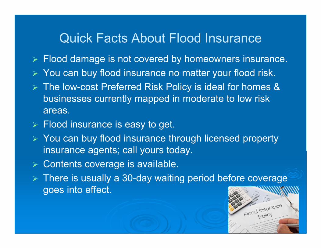
Quick Facts About Flood Insurance
� Flood damage is not covered by homeowners insurance.
� You can buy flood insurance no matter your flood risk.
� The low-cost Preferred Risk Policy is ideal for homes &
businesses currently mapped in moderate to low risk
areas.
� Flood insurance is easy to get.
� You can buy flood insurance through licensed property
insurance agents; call yours today.
� Contents coverage is avaiIable.
� There is usually a 30-day waiting period before coverage
goes into effect.
Map Change Scenarios
� Newly mapped into a high risk area
� Removed from the high risk area
� Change in type of high risk area
� Change in BFE
� No change
Newly Mapped ProcedureNewly mapped into SFHA on or after April 1, 2015
� Eligible for “newly mapped” insurance rates, if
coverage is effective within 12 months of map
revision. (Not eligible for newly mapped rates
if coverage not effective within 12 months of
map change.)
� Post-FIRM building may qualify for built-in-
compliance grandfathering
� Pre-FIRM building may qualify for Pre-FIRM
subsidized rates
Grandfathering
� If insurance policy obtained prior to effective
date of map change, property owner may retain
rates based on prior zone/BFE.
� Continuous coverage must be maintained.
� Rates will gradually increase up to new
zone/BFE.
� Structure must have been built in compliance
with FIRM in effect at time of construction.
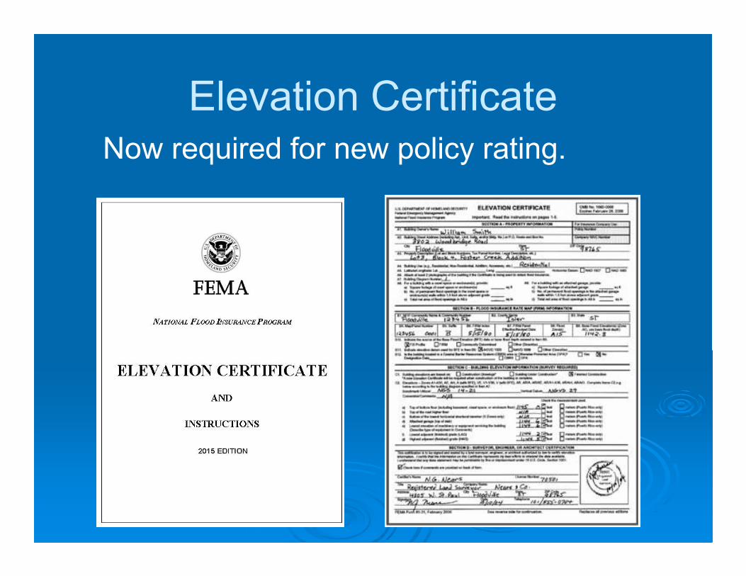
Elevation CertificateNow required for new policy rating.

Insurance
At 2 feet (FPE)
$3,000/Yr
Door County
Flood Insurance
Example

Insurance
At 3 feet
$675/Yr
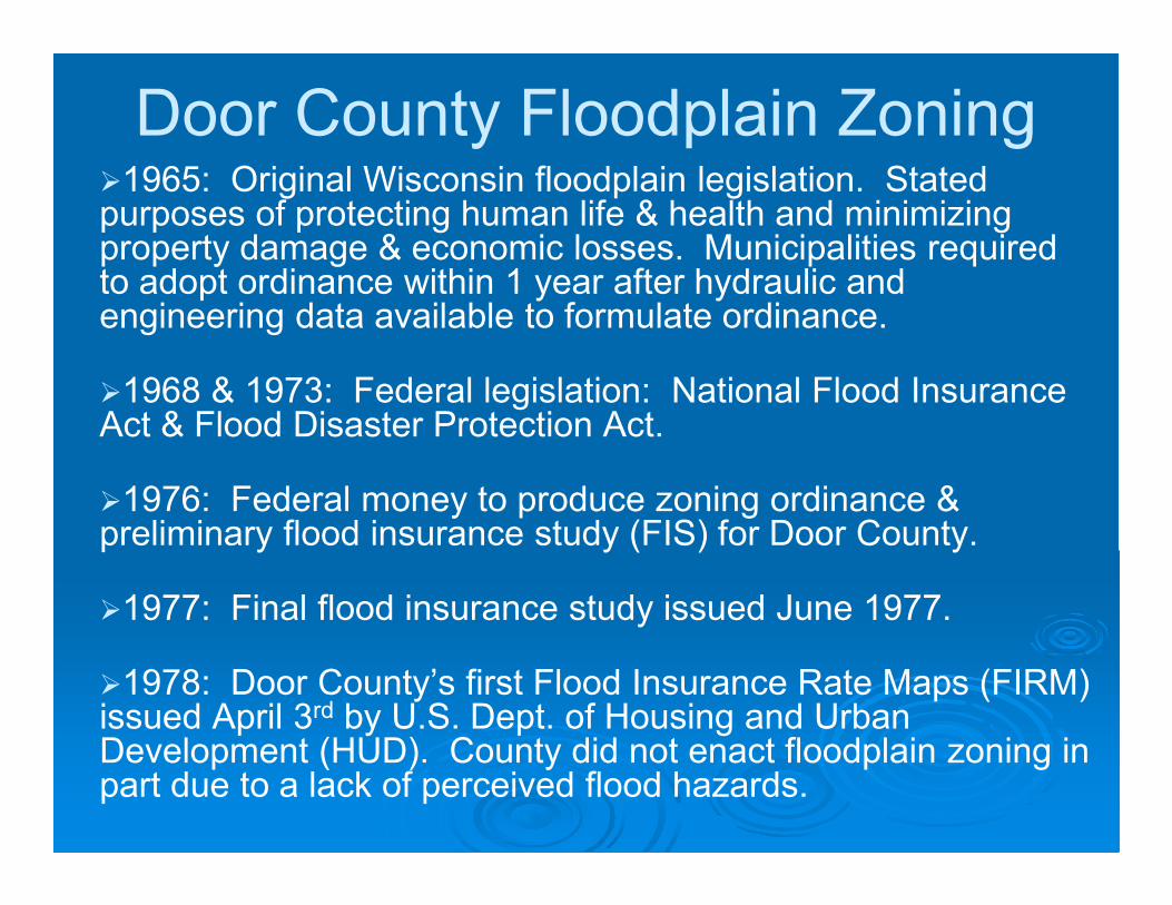
Door County Floodplain Zoning �1965: Original Wisconsin floodplain legislation. Stated purposes of protecting human life & health and minimizing property damage & economic losses. Municipalities required to adopt ordinance within 1 year after hydraulic and engineering data available to formulate ordinance.
�1968 & 1973: Federal legislation: National Flood Insurance Act & Flood Disaster Protection Act.
�1976: Federal money to produce zoning ordinance & preliminary flood insurance study (FIS) for Door County.
�1977: Final flood insurance study issued June 1977.
�1978: Door County’s first Flood Insurance Rate Maps (FIRM) issued April 3rd by U.S. Dept. of Housing and Urban Development (HUD). County did not enact floodplain zoning in part due to a lack of perceived flood hazards.
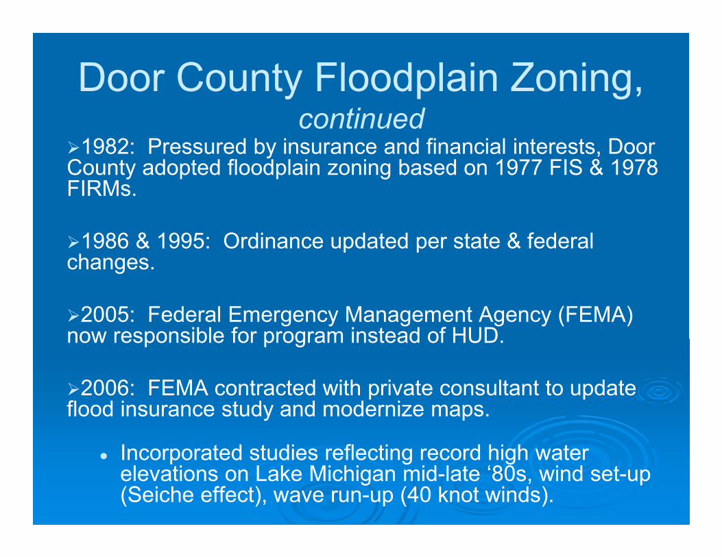
Door County Floodplain Zoning, continued
�1982: Pressured by insurance and financial interests, Door County adopted floodplain zoning based on 1977 FIS & 1978 FIRMs.
�1986 & 1995: Ordinance updated per state & federal changes.
�2005: Federal Emergency Management Agency (FEMA) now responsible for program instead of HUD.
�2006: FEMA contracted with private consultant to update flood insurance study and modernize maps.
� Incorporated studies reflecting record high water elevations on Lake Michigan mid-late ‘80s, wind set-up (Seiche effect), wave run-up (40 knot winds).

Door County Floodplain Zoning, continued
�January 2009: New D.C. Floodplain Zoning Ordinance and maps adopted.
1. Increased elevations on Green Bay and Lake
Michigan. (Inland lakes remained the same.)
2. Additional floodplain mapped adjacent to unstudied
rivers/streams.
3. Some regulatory changes.
(Note: In December 2017, updated Floodplain Zoning Ordinance text adopted. Model ordinance was replaced in 2012, after county’s 2009 ordinance was adopted, but we were not aware of that until recently.)

Floodplain Areas to Date� Floodway (no construction and no fill)
� Flood fringe (elevate and flood-proof structures)
� AE Zone, studied areas with known base flood elevations such as Green Bay & Lake Michigan.
� A Zone, unstudied areas with no base flood elevation or areas with studies that FEMA has not approved for mapping purposes. More difficult to develop and some of the highest insurance rates.
Many smaller streams are unstudied.
Inland Lakes (Europe, Kangaroo, Clark) have been studied and the county has local elevations that may be used for regulatory purposes. Issues with existing studies and required elevations.
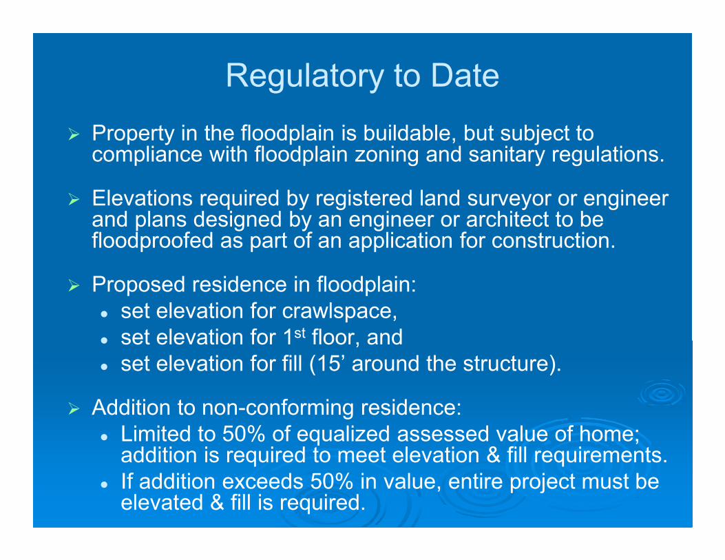
Regulatory to Date
� Property in the floodplain is buildable, but subject to compliance with floodplain zoning and sanitary regulations.
� Elevations required by registered land surveyor or engineer and plans designed by an engineer or architect to be floodproofed as part of an application for construction.
� Proposed residence in floodplain:
� set elevation for crawlspace,
� set elevation for 1st floor, and
� set elevation for fill (15’ around the structure).
� Addition to non-conforming residence:
� Limited to 50% of equalized assessed value of home; addition is required to meet elevation & fill requirements.
� If addition exceeds 50% in value, entire project must be elevated & fill is required.
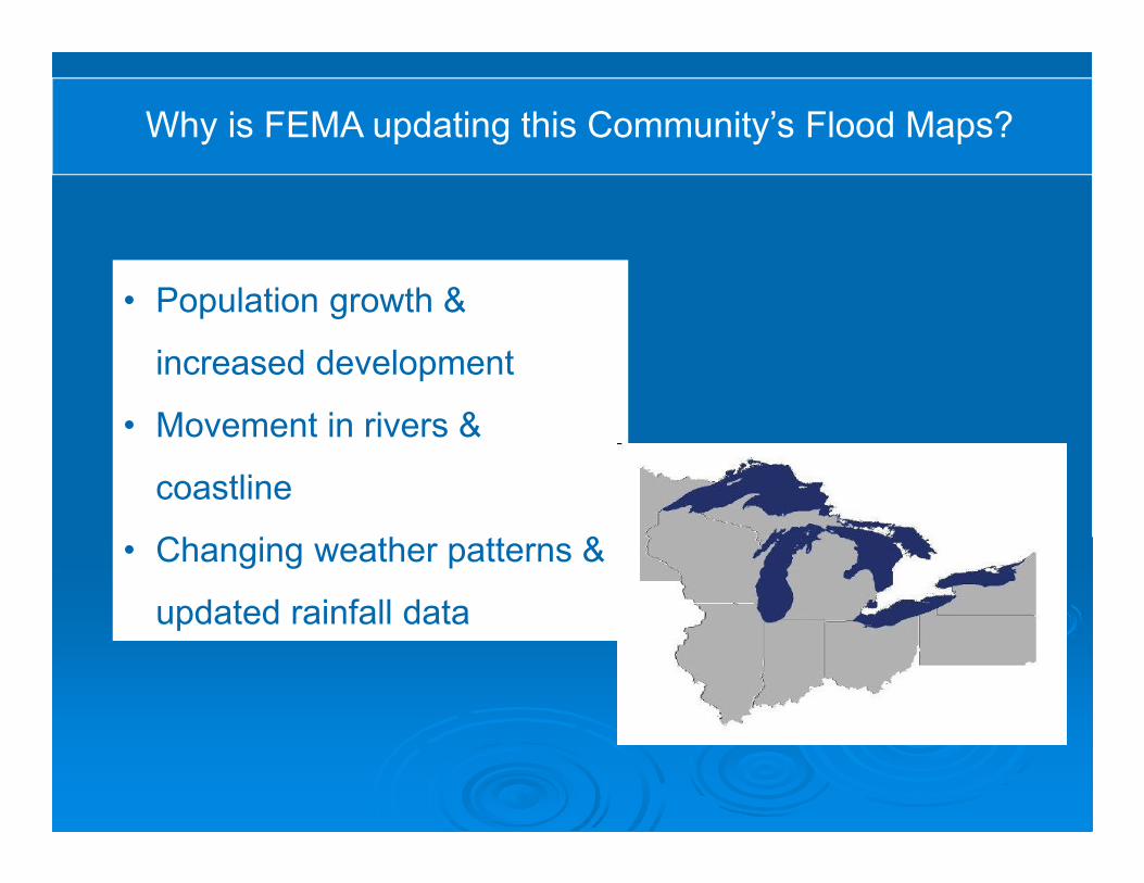
Why is FEMA updating this Community’s Flood Maps?
The Great Lakes Coastal Flood Study provides updated flood risk
information across each of the Great Lakes, including Lake Michigan,
using uniform methodology, updated terrain data, and modern wave
modeling techniques.
Many factors contribute to flood risk change over time:
• Population growth &
increased development
• Movement in rivers &
coastline
• Changing weather patterns &
updated rainfall data

FEMA Great Lakes Coastal
Flood Study, 2012 – present (on-going)
� Early 2012: Staff learn about new FEMA Coastal Analysis
which includes all the Great Lakes
� June 26, 2012: County letter to FEMA with concerns
� September and October 2012: Staff input to FEMA on
preliminarily designated study points
� October 2012: County board resolution expressing concerns
� November 2012: Staff receives Lake MI draft report
� January 2013: Staff submits input to FEMA on draft report
FEMA Great Lakes Coastal
Flood Study, 2012 – present
(on-going)
� August 1, 2017: Notification from FEMA of meeting
regarding draft work maps
� August 21, 2017: FEMA meeting in Sturgeon Bay
� September 29, 2017: County submitted comments to
FEMA regarding elevation break points on draft work
maps
� December 21, 2017: FEMA response to Door County’s
comments.
� FEMA still needs to join stream mapping with Great
Lakes study.

2017 FEMA Draft Work Maps
Differences from existing (2009) maps:
� Generally, lower elevations along Green Bay and Lake
Michigan, so less properties in floodplain
Notes:
The county is currently working with Wisconsin Department of
Natural Resources to have the three inland lakes studied and
incorporated into the new maps.
Streams are not part of the study.
� Biggest change: “VE” zones
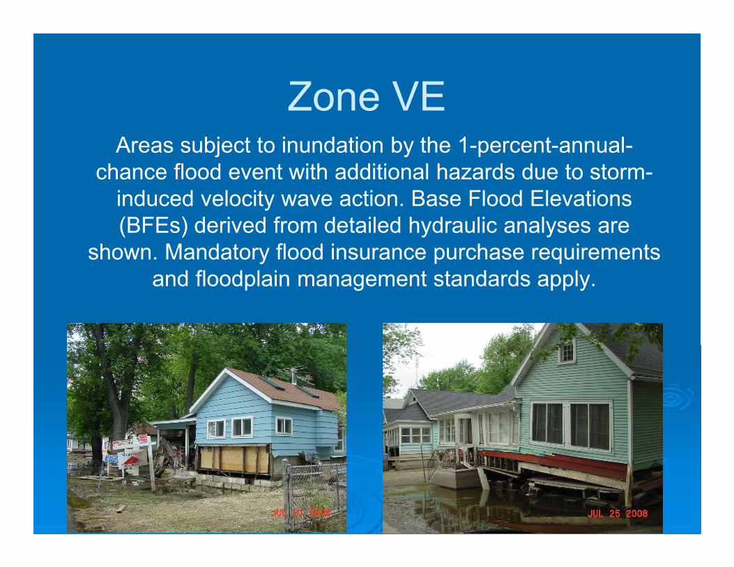
Zone VE Areas subject to inundation by the 1-percent-annual-
chance flood event with additional hazards due to storm-
induced velocity wave action. Base Flood Elevations
(BFEs) derived from detailed hydraulic analyses are
shown. Mandatory flood insurance purchase requirements
and floodplain management standards apply.
V-Zone Floodplain Management
44 CRF 60.3(e)
The community must require that all new construction
and substantial improvements have the lowest horizontal
structural member of the lowest floor elevated to or
above the base flood level,
Twith the space below the lowest floor either free
of obstruction or constructed with non-supporting
breakaway wallsT
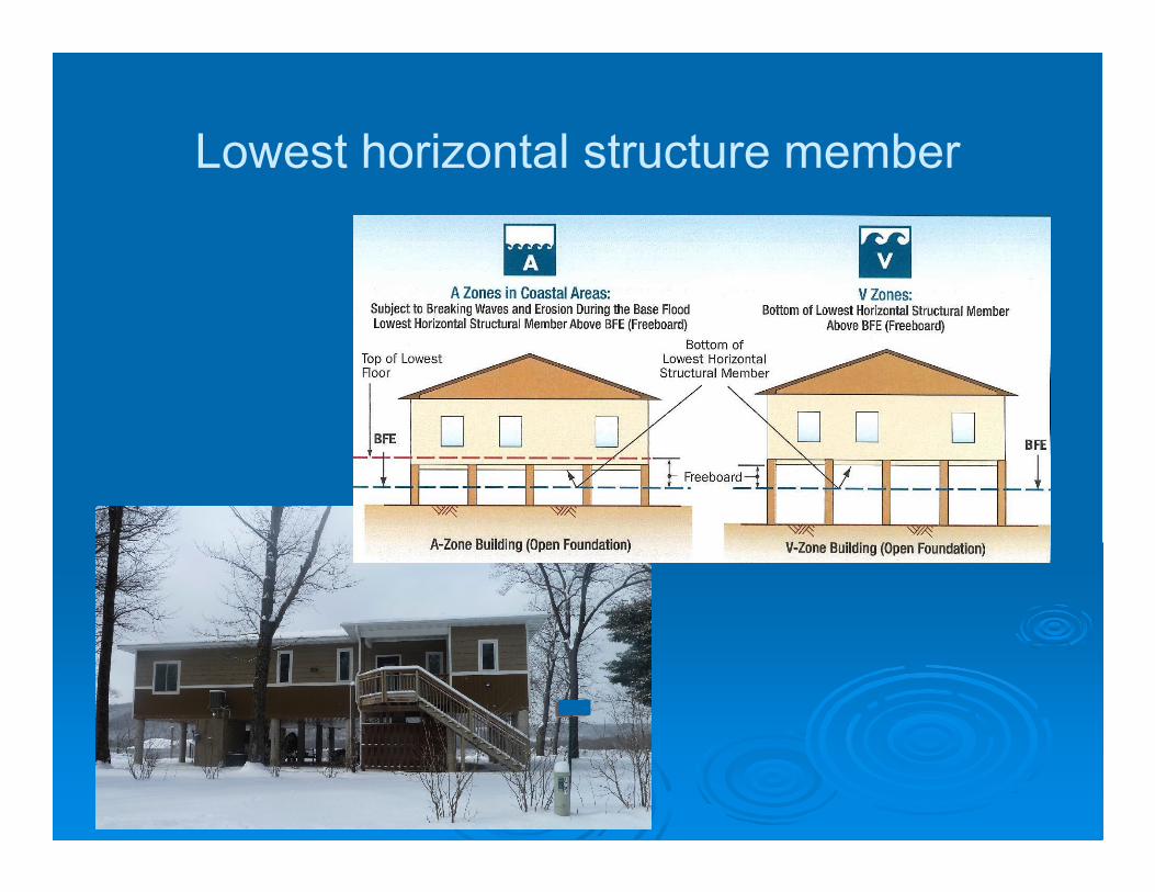
Lowest horizontal structure member

Other key standards in Zone VE
� Fill for structural support is prohibited.
� Elevated portion of the building and
piling/column foundation must be
designed to withstand water and wind
loads acting simultaneously under
base flood conditions.
� Structural design, specifications and
plans for construction must be
developed or reviewed and certified by
a registered professional engineer or
architect.

Next Steps
� Door County can request the study data from FEMA in
order to make it available to property owners, if desired.
(Summer 2018?)
� 12-18 months from now: FEMA anticipates finishing
preliminary maps.
� Open house meeting will be held to present maps. 30-
day appeal and protest period will start immediately after.
� Formal adoption deadline will be set by FEMA after the
appeal period.
� Hearing before county Resource Planning Committee.
� Adoption by county board of final maps and ordinance.
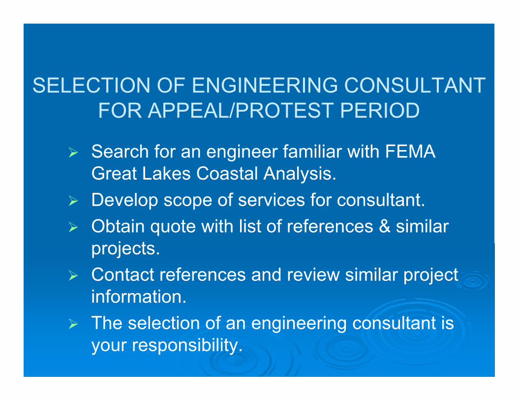
SELECTION OF ENGINEERING CONSULTANT
FOR APPEAL/PROTEST PERIOD
� Search for an engineer familiar with FEMA
Great Lakes Coastal Analysis.
� Develop scope of services for consultant.
� Obtain quote with list of references & similar
projects.
� Contact references and review similar project
information.
� The selection of an engineering consultant is
your responsibility.
Amendment Processes for
Adopted Maps
� LOMAs (Letters Of Map Amendment)
� LOMRs (Letters Of Map Revision)
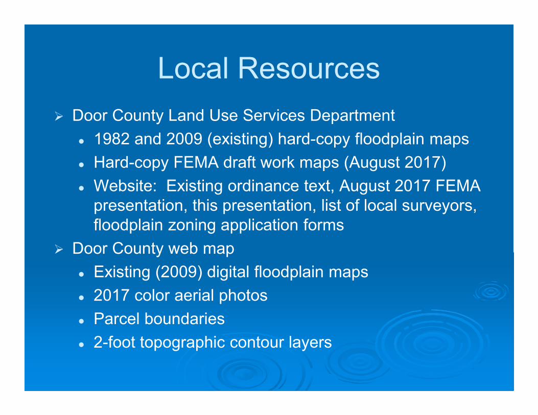
Local Resources
� Door County Land Use Services Department
� 1982 and 2009 (existing) hard-copy floodplain maps
� Hard-copy FEMA draft work maps (August 2017)
� Website: Existing ordinance text, August 2017 FEMA
presentation, this presentation, list of local surveyors,
floodplain zoning application forms
� Door County web map
� Existing (2009) digital floodplain maps
� 2017 color aerial photos
� Parcel boundaries
� 2-foot topographic contour layers

Land Use Services Department website:
http://map.co.door.wi.us/planning/

WEB MAP MAIN PAGE:
http://map.co.door.wi.us/map/
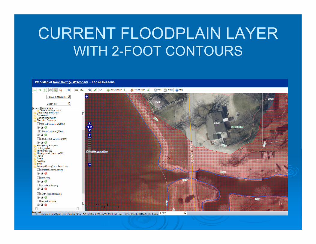
CURRENT FLOODPLAIN LAYERWITH 2-FOOT CONTOURS
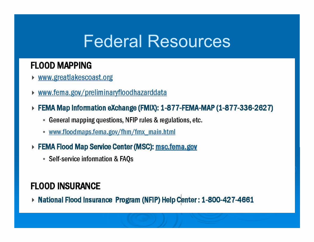
Federal Resources

Great Lakes Coastal Flood Study:
http://www.greatlakescoast.org/
1. http://greatlakescoast.org/pubs/factSheets/GLC
FS_FS1_ProgramSummary.pdf
2. http://greatlakescoast.org/pubs/factSheets/GLC
FS_FS3_StormSurge_StormSampling_Methodo
logy.pdf
3. http://www.greatlakescoast.org/great-lakes-
coastal-analysis-and-mapping/
4. http://www.greatlakescoast.org/great-lakes-
coastal-analysis-and-mapping/great-lakes-flood-
zones-overview/

Questions?