
International Research Journal of Earth Sciences______________________________________ ISSN 2321–2527
Vol. 3(12), 9-20, December (2015) Int. Res. J. Earth Sci.
International Science Congress Association 9
Assessment and Prediction of Slope Instability in the Lish River Basin of
Eastern Darjiling Himalaya using RS and GIS Mandal Sujit and Mandal Biplab
Department of Geography, University of Gour Banga, Malda-732103, West Bengal, INDIA
Available online at: www.isca.in, www.isca.me Received 13rd October 2015, revised 11th November 2015, accepted 21st December 2015
Abstract
The present study area, the Lish River basin of eastern Darjiling Himalaya shows extensive tea cultivation, deforestation,
expansion of communication and settlement, shifting cultivation, unscientific and unplanned land use practices. All these
activities have brought a tremendous threat to the population living in the Lish river basin causing devastating landslip.
Although, various attempts were being taken to combat and check the landslide phenomena but a systematic and quantitative
assessment and prediction of landslides are to be made in detail for planning and development. The assessment and prediction
of the landslide phenomena are the prime concern of landslide mitigation. The present study is dealt with the assessment and
prediction of landslide prone area in the Lish River basin. To make the landslide susceptibility map of the Lish river basin,
some landslide inducing factors i.e. slope angle, slope aspect, slope curvature, drainage, lithology, geomorphology, soil, land
use and land cover, and NDVI were taken into account and all the data layers were developed using RS and GIS tools. To
integrate all the data layers Overlay analysis method on GIS platform were performed and landslide susceptibility map of the
Lish river basin were prepared.
Keywords: Landslide susceptibility, RS and GIS, Frequency ratio, Lish River Basin.
Introduction
The approaches to mitigate landslide risk are made through
studying the history of management of landslide terrain by
constructing protective structures or monitoring and warning
systems, or through the ever-increasing sophisticated methods
for mapping and delineating areas prone to landslides1.
Landslide analysis is mainly done by assessing Susceptibility,
Hazard and Risk2. Risk analysis is a valid technique for
combating the landslide hazards for formulation and application
of the proper management proposal. Recently many studies have
been done to assess landslide risk using the GIS tools3. The
application of probabilistic model for landslide risk and hazard
analysis is one of the sophisticated and scientific approach in
landslide studies4-9
. The logistic regression model for landslide
hazard mapping is the most significant statistical approach10
.
The landslide hazard and risk analysis could be accomplished
using geotechnical model and the safety factor analysis11
.
Recently, landslide hazard evaluation using fuzzy logic, and
artificial neural network models have been mentioned in the
various literature12
. In the present study area remote sensing
Technique and GIS tools are used on nine landslide inducing
parameter like lithology, geomorphology, soil, relief, slope
angle, slope aspect, slope curvature, drainage density, NDVI,
land use and land cover to assess the magnitude of susceptibility
to landslide and its spatial distribution.
The quantitative analysis of landslide inducing attributes like
slope, aspect, amplitude of relief, drainage density, lithology,
Geomorphology and land use is of great significance for the
scientific management of mountain river basin. Preparation of
Landslide Zonation Map is an important technique which figure
out spatial distribution of landslides and helps to take site
specific proper remedial measures in a rational manner. In the
present study the interaction of different factors are studied
separately and ultimately final coordination is made through
landslide potentiality index value (LPIV) and landslide
susceptibility index value (LSIV). For the preparation of the
hazard zonation map of the Lish River Basin, grid/cell wise
weighted index value (WIV) is assigned for each and every
classes of individual attributes on the basis of the magnitude of
landslide potentiality index value. To prepare the zonation map
of the Lish river basin, weighted overlay analysis was performed
on GIS platform and finally a relationship was established
between the prepared susceptibility map and all the thematic
data layers.
The susceptibility to landslide is analysed through the
interaction of different factors mainly the slope map, aspect
map, curvature map, relative relief, drainage density, and land
use and land cover. The spatial distribution of these factors is
analysed separately and ultimately final coordination is made
through integration of these variables by making composite
index. For the preparation of the hazard zonation map of the
Lish river basin the factor-mapping approach has been applied
in which various factors viz. Slope, aspect, curvature, Relative
Relief, lithology, geomorphology, soil, drainage Density, Land
use were considered.

International Research Journal of Earth Sciences_
Vol. 3(12), 9-20, December (2015)
International Science Congress Association
Landslide hazard assessment involves the division of an area in
to several zones, which indicates progressive levels of landslide
hazard. The term zonation implies the categorization of the land
surface in to areas and arranges them according to potential
hazards from landslides and other mass movements on slope
Landslide susceptibility map is required for developmental
planners as scientific tools for efficient management of the land.
The Lish Ri
Sciences________________________________________
Association
Landslide hazard assessment involves the division of an area in
to several zones, which indicates progressive levels of landslide
d. The term zonation implies the categorization of the land
surface in to areas and arranges them according to potential
hazards from landslides and other mass movements on slope13
.
Landslide susceptibility map is required for developmental
entific tools for efficient management of the land.
To constitute the zonation map of slope instability it is necessary
to understand the some triggering mechanism of landslides. The
preparation of a landslide hazard zonation map is the first major
step for combating such disaster and also is the major objective
of my study. The difficulty to prepare landslide susceptibility
map is the lack of information related to the factors responsible
for slope failure.
Figure-1
The Lish River Basin in Darjiling District
Figure-2
The Lish River Basin in Google Earth Image
_____________________________________ ISSN 2321–2527
Int. Res. J. Earth Sci.
10
To constitute the zonation map of slope instability it is necessary
to understand the some triggering mechanism of landslides. The
preparation of a landslide hazard zonation map is the first major
r combating such disaster and also is the major objective
of my study. The difficulty to prepare landslide susceptibility
map is the lack of information related to the factors responsible
International Research Journal of Earth Sciences_
Vol. 3(12), 9-20, December (2015)
International Science Congress Association
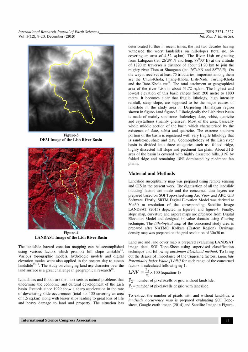
Figure-3
DEM Image of the Lish River Basin
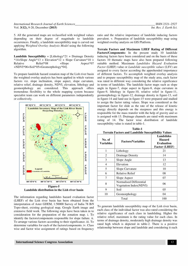
Figure-4
LANDAST Image of the Lish River Basin
The landslide hazard zonation mapping can be accomplished
using various factors which promote hill slope unstable
Various topographic models, hydrologic models and digital
elevation modes were also applied in the present day to assess
landslide15-17
. The study on changing land use character over the
land surface is a great challenge in geographical research
Landslides and floods are the most serious natural problems that
undermine the economic and cultural development of the Lish
basin. Records since 1929 show a sharp acceleration in the rate
of devastating slide occurrences (total no. 135 covering an area
of 1.5 sq.km) along with lesser slips leading to great loss of life
and heavy damage to land and property. The situation has
Sciences________________________________________
Association
DEM Image of the Lish River Basin
LANDAST Image of the Lish River Basin
The landslide hazard zonation mapping can be accomplished
using various factors which promote hill slope unstable14
.
Various topographic models, hydrologic models and digital
elevation modes were also applied in the present day to assess
. The study on changing land use character over the
ce is a great challenge in geographical research18
.
Landslides and floods are the most serious natural problems that
undermine the economic and cultural development of the Lish
basin. Records since 1929 show a sharp acceleration in the rate
slide occurrences (total no. 135 covering an area
of 1.5 sq.km) along with lesser slips leading to great loss of life
and heavy damage to land and property. The situation has
deteriorated further in recent times, the last two decades having
witnessed the worst landslides on hill
covering an area of 4.52 sq.km). The River Lish originating
from Lalegoan (lat. 26059' N and
of 1820 m traverses a distance of about 21.20 km to join the
mighty river Tista at Shaugoan (lat. 26
the way it receives at least 75 tributaries; important among them
are the Chun-Khola, Phang
and the Rato-Khola etc19
. The total catchment or geographical
area of the river Lish is about 5
lowest elevation of this basin ranges from 200 metre to 1800
metre. It becomes clear that fragile lithology, high intensity
rainfall, steep slope, are supposed to be the major causes of
landslide in the study area in Darjeeling
shown in figure-1and figure-
is made of mainly sandstone shale/clay; slate, schist, quartzite
and crystallines (mainly gneisses). Most of the area, basically
whole middle section of the basin which char
existence of slate, schist and quartzite. The extreme southern
portion of the basin is registered with very fragile lithology that
is sandstone, shale and clay. Geomorphology of the Lish river
basin is divided into three categories such as
highly dissected hill slope and piedmont fan plain. About 51%
area of the basin is covered with highly dissected hills, 31% by
folded ridge and remaining 18% dominated by piedmont fan
plains.
Material and Methods
Landslide susceptibility map was prepared using remote sensing
and GIS in the present work. The digitization of all the landslide
inducing factors are made and the concerned data layers are
prepared based on SOI Topo
Software. Firstly, SRTM Digital Elevation Model was derived at
30×30 m resolution of the corresponding Satellite Image
LANDSAT (2015) depicted in
slope map, curvature and aspect maps are prepared from Digital
Elevation Model and designed in value domain using filtering
technique. The lithological map
prepared after NATMO Kolkata (Eastern Region). Drainage
density map was prepared on the grid resolution of 30×30 m.
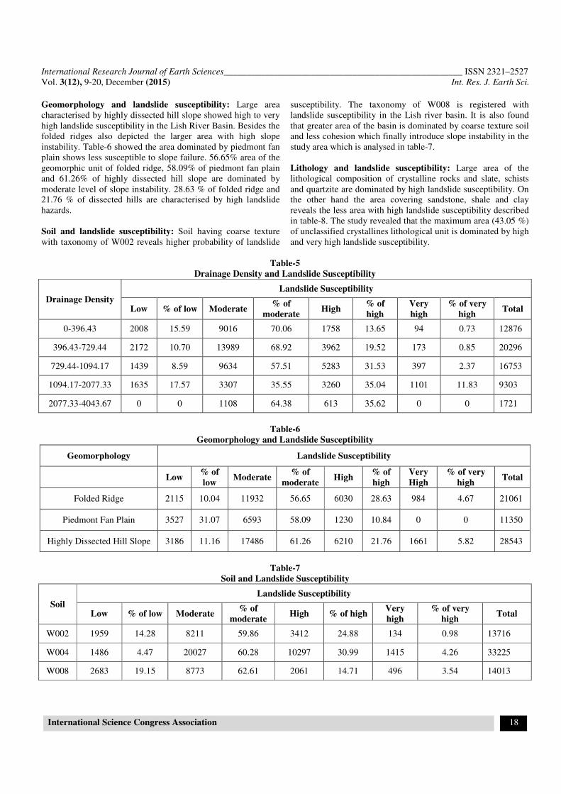
Land use and land cover map is prepare
image data, SOI Topo-Sheet using supervised classification
technique and following maximum likelihood method
out the degree of importance of the triggering factors,
Potentiality Index Value [LPIV]
factors is calculated following eq
���� ���
�
× 100 (equation
F�= number of pixels/cells or grid without landslide.
F�= number of pixels/cells or grid with landslide.
To extract the number of pixels with and without landslide, a
landslide occurrence map
sheet, Google earth image (2014) and Satellite Image in Figure
_____________________________________ ISSN 2321–2527
Int. Res. J. Earth Sci.
11
deteriorated further in recent times, the last two decades having
worst landslides on hill-slopes (total no. 64
covering an area of 4.52 sq.km). The River Lish originating
59' N and long. 88033' E) at the altitude
of 1820 m traverses a distance of about 21.20 km to join the
augoan (lat. 26049'N and 88
033'E). On
the way it receives at least 75 tributaries; important among them
Khola, Phang-Khola, Lish-Nadi, Turung-Khola
. The total catchment or geographical
area of the river Lish is about 51.72 sq.km. The highest and
lowest elevation of this basin ranges from 200 metre to 1800
metre. It becomes clear that fragile lithology, high intensity
rainfall, steep slope, are supposed to be the major causes of
landslide in the study area in Darjeeling Himalayan region
-2. Lihologically the Lish river basin
is made of mainly sandstone shale/clay; slate, schist, quartzite
and crystallines (mainly gneisses). Most of the area, basically
whole middle section of the basin which characterised by the
existence of slate, schist and quartzite. The extreme southern
portion of the basin is registered with very fragile lithology that
is sandstone, shale and clay. Geomorphology of the Lish river
basin is divided into three categories such as- folded ridge,
highly dissected hill slope and piedmont fan plain. About 51%
area of the basin is covered with highly dissected hills, 31% by
folded ridge and remaining 18% dominated by piedmont fan
and Methods
map was prepared using remote sensing
and GIS in the present work. The digitization of all the landslide
inducing factors are made and the concerned data layers are
prepared based on SOI Topo-sheetusing Arc View and ARC GIS
Firstly, SRTM Digital Elevation Model was derived at
30×30 m resolution of the corresponding Satellite Image
LANDSAT (2015) depicted in figure-3 and figure-4. Finally,
slope map, curvature and aspect maps are prepared from Digital
gned in value domain using filtering
lithological map of the concerned study area is
prepared after NATMO Kolkata (Eastern Region). Drainage
density map was prepared on the grid resolution of 30×30 m.
Land use and land cover map is prepared evaluating LANDSAT
Sheet using supervised classification
maximum likelihood method. To bring
out the degree of importance of the triggering factors, Landslide
Potentiality Index Value [LPIV] for each range of the concerned
factors is calculated following eq-1.
uation-1)
= number of pixels/cells or grid without landslide.
= number of pixels/cells or grid with landslide.
To extract the number of pixels with and without landslide, a
is prepared evaluating SOI Topo-
sheet, Google earth image (2014) and Satellite Image in Figure-
International Research Journal of Earth Sciences____________________________________________________ ISSN 2321–2527
Vol. 3(12), 9-20, December (2015) Int. Res. J. Earth Sci.
International Science Congress Association 12
5. All the generated maps are reclassified with weighted values
depending on their degree of magnitude to landslide
occurrences. Finally, a landslide susceptibility map is carved out
applying Weighted Overlay Analysis Model using the following
algorithm.
Landslide Susceptibility = [Lithology*21 + Drainage Density
*14+Slope Angle*13 + Elevation*12 + Slope Curvature*10 +
Relative Relief*08 +Slope Aspect*07
+NDVI*06+Soil*05+Geomorphology*04].
To prepare landslide hazard zonation map of the Lish river basin
the weighted overlay analysis has been applied in which various
factors viz. slope inclination, slope aspect, slope curvature,
relative relief, drainage density, NDVI, elevation, lithology and
geomorphology are considered. This approach offers
tremendous flexibility to the whole mapping system because
specialist team can work on different parameters independently
or collectively.
Figure-5
Landslide distribution in the Lish river basin
The information regarding landslides hazard evaluation factor
(LHEF) of the Lish river basin has been obtained from the
interpretation of Aster GDEM, 1:50000 Survey of India 78 B/9
Topo-sheet, existing geological map, Google Earth image and
extensive field work. The following steps have been taken in to
consideration for the preparation of the zonation map. i. To
identify the factors/components responsible for slope failure. ii.
To arrange various factors according to their significance. iii. To
determine variables for each of the factors/components. iv. Class
wise and factor wise assignment of ratings based on frequency
ratio and the relative importance of landslide inducing factors
prevalent. v. Preparation of landslide susceptibility map using
weighted overlay analysis on GIS Platform.
Terrain Factors and Maximum LHEF Rating of Different
Factors/Components: In the present study 10 landslide
inducing factors have been considered and on the basis of these
factors 10 thematic maps have also been prepared following
suitable method. Maximum Landslides Hazard Evaluation
Factor (LHEF) value or Landslide susceptible values (LSV) are
assigned to every factor according the apprehended importance
of different factors. To accomplish weighted overlay analysis
and to prepare susceptibility map of the study area, each factor
was rated in different way considering the relative significance
in terms of landslides. The landslide factor maps such as slope
angle in figure-7, slope aspect in figure-8, slope curvature in
figure-9, lithology in figure-10, relative relief in figure-11,
geomorphology in figure-12, drainage density in figure-13, soil
in figure-14 and land use in figure-15 were prepared and studied
to assign the factor rating values. Slope was considered as the
important factor for slide as the rate of the release of kinetic
energy directly depends on the steepness and this energy is
responsible for the mass transfer with the help of gravity and so
is assigned with 13. Drainage channels are rated with maximum
rating of 14. The factor wise distribution of landslide
susceptibility value is stated in table-1.
Table-1
Terrain Factors and Landslide Susceptibility Values
No. of
Variables Factors/Variables
Landslides
Hazard
Evaluation
Factor (LHEF)
1 Lithology 21
2 Drainage Density 14
3 Slope Angle 13
4 Elevation 12
5 Slope Curvature 10
6 Relative Relief 08
7 Slope Aspect 07
8 Normalised Differential
Vegetation Index(NDVI) 06
9 Soil 05
10 Geomorphology 04
Total 100
To generate landslide susceptibility map of the Lish river basin,
each class of the individual factor was also rated considering the
relative significance of each class in landsliding. Higher the
relative relief, maximum is the rating value for each class. In
terms of drainage density, moderately high drainage density was
rated high which is depicted in table-2. There is a positive
relationship between slope and landslide and considering it each

International Research Journal of Earth Sciences____________________________________________________ ISSN 2321–2527
Vol. 3(12), 9-20, December (2015) Int. Res. J. Earth Sci.
International Science Congress Association 13
class was rated accordingly. High positive and high negative
curvatures of the slope invite slope saturation and slope failure.
So high positive and negative slope curvature was assigned as
high class rating value.
Table-2
Assignment of theme weight and class weight
Factors/components Variables Theme weight Feature Class weight
1.Relative Relief (meters)
64.48- 225.18
225.18 - 332.31
332.31- 399.86
399.86- 465.07
465.07– 658.07
21
1
2
3
4
5
2. Drainage Density.
0 – 396.43
396.43 – 729.44
729.44 – 1094.17
1094.17 – 2077.33
2077.33 – 4043.67
14
3
4
7
6
4
3. Slope Angle
0 - 13.37
1.3.37 – 21.96
21.96 – 29.84
29.84 – 38.43
38.43 – 60.63
13
1
2
3
4
5
4. Elevation
116 – 447
447 – 655
655 – 872
875 – 1107
1107 – 1405
1405 - 1870
12
1
2
3
5
6
4
5. Slope Curvature
Concave
Flat
Convex
10
5
1
4
6. Lithology
1. Sandstone, shale/ Clay.
2. Slate, Schists, Quartzite.
3. Unclassified Crystallines (Mainly
Gneisses)
08
2
3
4
7. Slope aspect map
Flat(-1)
North(0-22.5)
Northeast(22.5-67.5)
East(67.5-112.5)
Southeast(112.5-157.5)
South(157.5-202.5)
Southwest(202.5-247.5)
West(247.5-292.5)
Northwest(292.5-337.5)
North(337.5-360)
07
1
1
1
3
4
5
2
2
1
1
8. NDVI
-0.014-0.107
0.107-0.180
0.180-0.224
0.224-0.303
0.303-0.360
0.360-0.501
06
4
6
3
2
1
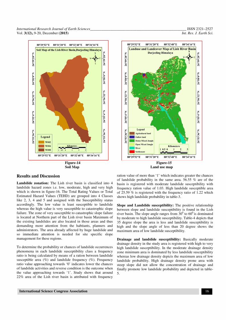
9. Soil
1.W002
2.W004
3.W008
05
01
03
02
10. Geomorphology
1. Folded Ridge.
2. Highly Dissected Hill Slope.
3. Piedmont Fan Plain.
04
05
03
01

International Research Journal of Earth Sciences____________________________________________________ ISSN 2321–2527
Vol. 3(12), 9-20, December (2015) Int. Res. J. Earth Sci.
International Science Congress Association 14
Figure-6 Figure-7
DEM of the Lish Basin Slope map
Figure-8 Figure-9
Slope Aspect map Slope Curvature Map

International Research Journal of Earth Sciences____________________________________________________ ISSN 2321–2527
Vol. 3(12), 9-20, December (2015) Int. Res. J. Earth Sci.
International Science Congress Association 15
Figure-10 Figure-11
Lithology of the Lish basin Relief map
Figure-12 Figure-13
Geomorphology map Drainage density map
International Research Journal of Earth Sciences____________________________________________________ ISSN 2321–2527
Vol. 3(12), 9-20, December (2015) Int. Res. J. Earth Sci.
International Science Congress Association 16
Figure-14 Figure-15
Soil Map Land use map
Results and Discussion
Landslide zonation: The Lish river basin is classified into 4
landslide hazard zones i.e. low, moderate, high and very high
which is shown in figure-16. The Total Rating Values or Total
Estimated Hazard Values (TEHD) are grouped into 4 Classes
like 2, 3, 4 and 5 and assigned with the Susceptibility status
accordingly. The low value is least susceptible to landslide
whereas the high value is very susceptible to catastrophic slope
failure. The zone of very susceptible to catastrophic slope failure
is located at Northern part of the Lish river basin Maximum of
the existing landslides are also located in those areas and thus
demanding more attention from the habitants, planners and
administrators. The area already affected by huge landslide and
so immediate attention is needed for site specific slope
management for these regions.
To determine the probability or chances of landslide occurrences
phenomena in each landslide susceptibility class a frequency
ratio is being calculated by means of a ration between landslide
susceptible area (%) and landslide frequency (%). Frequency
ratio value approaching towards ‘0’ indicates lower the chances
of landslide activities and reverse condition is the outcome when
the value approaching towards ‘1’. Study shows that around
22% area of the Lish river basin is attributed with frequency
ration value of more than ‘1’ which indicates greater the chances
of landslide probability in the same area. 56.55 % are of the
basin is registered with moderate landslide susceptibility with
frequency ration value of 1.03. High landslide susceptible area
of 25.59 % is registered with the frequency ratio of 1.22 which
shows high landslide probability in table-3.
Slope and Landslide susceptibility: The positive relationship
between slope and landslide susceptibility is found in the Lish
river basin. The slope angle ranges from 300 to 60
0 is dominated
by moderate to high landslide susceptibility. Table-4 depicts that
35 degree slope the area is less and landslide susceptibility is
high and the slope angle of less than 20 degree shows the
maximum area of low landslide susceptibility.
Drainage and landslide susceptibility: Basically moderate
drainage density in the study area is registered with high to very
high landslide susceptibility. In the moderate drainage density
zone minimum area is dominated by less landslide susceptibility
whereas low drainage density depicts the maximum area of low
landslide probability. High drainage density prone area with
steep slope did not allow the concentration of drainage and
finally promote low landslide probability and depicted in table-
5.

International Research Journal of Earth Sciences____________________________________________________ ISSN 2321–2527
Vol. 3(12), 9-20, December (2015) Int. Res. J. Earth Sci.
International Science Congress Association 17
Table-3
Landslide Hazard Zone on the Basis of Total Estimated Hazard Values (TEHD) and Frequency Ratio Study
Landslide
Susceptibility Total pixels % of Total Area Landslides pixel
% of Land
Slide Frequency Ratio
Low 6754 11.08 114 7.69 0.69
Moderate 34473 56.55 867 58.50 1.03
High 15596 25.59 464 31.31 1.22
Very high 4131 6.78 37 2.50 0.37
Total 60954 100 1482 100 1
Figure-16
Landslide susceptibility Zones of the Lish river basin
Table-4
Slope Angle and Landslide Susceptibility.
Slope Angle
Landslide susceptibility
Low % of low Moderate % of
moderate High
% of
high Very High
% of very
high Total
0-13.6 1963 19.89 6207 62.89 1699 17.22 0 0 9869
13.6-22.19 2163 17.56 7829 63.53 2262 18.35 70 0.57 12324
22.19-30.07 1788 12.64 8955 63.28 3201 22.62 207 1.46 14151
30.07-38.67 1217 0.09 7978 55.99 4529 31.79 524 3.68 14248
38.67-60.86 1011 7.04 9203 64.08 3167 22.05 981 6.83 14362
International Research Journal of Earth Sciences____________________________________________________ ISSN 2321–2527
Vol. 3(12), 9-20, December (2015) Int. Res. J. Earth Sci.
International Science Congress Association 18
Geomorphology and landslide susceptibility: Large area
characterised by highly dissected hill slope showed high to very
high landslide susceptibility in the Lish River Basin. Besides the
folded ridges also depicted the larger area with high slope
instability. Table-6 showed the area dominated by piedmont fan
plain shows less susceptible to slope failure. 56.65% area of the
geomorphic unit of folded ridge, 58.09% of piedmont fan plain
and 61.26% of highly dissected hill slope are dominated by
moderate level of slope instability. 28.63 % of folded ridge and
21.76 % of dissected hills are characterised by high landslide
hazards.
Soil and landslide susceptibility: Soil having coarse texture
with taxonomy of W002 reveals higher probability of landslide
susceptibility. The taxonomy of W008 is registered with
landslide susceptibility in the Lish river basin. It is also found
that greater area of the basin is dominated by coarse texture soil
and less cohesion which finally introduce slope instability in the
study area which is analysed in table-7.
Lithology and landslide susceptibility: Large area of the
lithological composition of crystalline rocks and slate, schists
and quartzite are dominated by high landslide susceptibility. On
the other hand the area covering sandstone, shale and clay
reveals the less area with high landslide susceptibility described
in table-8. The study revealed that the maximum area (43.05 %)
of unclassified crystallines lithological unit is dominated by high
and very high landslide susceptibility.
Table-5
Drainage Density and Landslide Susceptibility
Drainage Density
Landslide Susceptibility
Low % of low Moderate % of
moderate High
% of
high
Very
high
% of very
high Total
0-396.43 2008 15.59 9016 70.06 1758 13.65 94 0.73 12876
396.43-729.44 2172 10.70 13989 68.92 3962 19.52 173 0.85 20296
729.44-1094.17 1439 8.59 9634 57.51 5283 31.53 397 2.37 16753
1094.17-2077.33 1635 17.57 3307 35.55 3260 35.04 1101 11.83 9303
2077.33-4043.67 0 0 1108 64.38 613 35.62 0 0 1721
Table-6
Geomorphology and Landslide Susceptibility
Geomorphology Landslide Susceptibility
Low % of
low Moderate
% of
moderate High
% of
high
Very
High
% of very
high Total
Folded Ridge 2115 10.04 11932 56.65 6030 28.63 984 4.67 21061
Piedmont Fan Plain 3527 31.07 6593 58.09 1230 10.84 0 0 11350
Highly Dissected Hill Slope 3186 11.16 17486 61.26 6210 21.76 1661 5.82 28543
Table-7
Soil and Landslide Susceptibility
Soil
Landslide Susceptibility
Low % of low Moderate % of
moderate High % of high
Very
high
% of very
high Total
W002 1959 14.28 8211 59.86 3412 24.88 134 0.98 13716
W004 1486 4.47 20027 60.28 10297 30.99 1415 4.26 33225
W008 2683 19.15 8773 62.61 2061 14.71 496 3.54 14013

International Research Journal of Earth Sciences____________________________________________________ ISSN 2321–2527
Vol. 3(12), 9-20, December (2015) Int. Res. J. Earth Sci.
International Science Congress Association 19
Table-8
Lithology and landslide susceptibility
Lithology
Landslide susceptibility
Low % of
low Moderate
% of
moderate High
% of
high
Very
High
% of very
high Total
Unclassified
Crystallines 1114 9.29 4455 37.14 5164 43.05 1261 10.51 11994
Slate, Schists,
quartzite 2860 8.73 20321 62.06 8980 27.42 584 1.78 32745
Sandstone
Shale/Clay 6054 37.34 8835 54.49 1326 8.18 0 0 16215
Conclusion
The Lish river basin is dominated by moderate level of slope
instability and which is followed by moderately high, low and
high landslide susceptibility. The north eastern and north
western part of the basin is experienced with high landslide
susceptibility where further constructional activities are to be
avoided to check the destruction from the landslide phenomena.
Further slope failure is expected in near future in the north
eastern and north western part of the basin and may cause havoc
destruction by destroying tea garden area and human settlement.
Moderate level of landslides can be expected in the middle most
section of the slope facet on the both sides of the trunk streams
and pre-slide management strategies are to be taken at all those
places. Extreme marginal part of the basin where drainage
concentration is less is characterised by moderately high
landslide susceptibility. The slope angle ranges from 300 to 60
0
is dominated by moderate to high landslide susceptibility.
Beyond 35 degree slope the area is less and landslide
susceptibility is high. Slope angle of less than 20 degree shows
the maximum area of low landslide susceptibility. Extreme
lower southern part of the basin is registered with low landslide
where the possibility of landslip is very low. In the mid-section
of the basin, the active erosional process of the trunk stream
steepens the side slope and introduces slope failure at greater
magnitude. Soil having coarse texture with taxonomy of W002
reveals higher probability of landslide susceptibility. The
taxonomy of W008 is registered with landslide susceptibility in
the Lish river basin.
References
1. Dai FC and Lee CF, Landslide characteristics and slope
instability modelling using GIS; Lantau Island, Hong
Kong, Geomorphology (42), 213-228 (2002)
2. Einstein HH, Landslide risk assessment procedure.
Proceedings of the Fifth International Symposium on
Landslides, 1075-1090 (1988)
3. Guzzetti F, Carrara A, Cardinali M and Reichenbach P,
Landslide Hazard Evaluation: A review of current
techniques and their application in a multi-scale study,
Central Italy. Journal of Geomorphology, 31. Elsevier,
London, 181-216 (1999)
4. Jibson WR, Edwin LH and John AM, A method for
producing digital probabilistic seismic landslide hazard
maps, Engineering Geology, (58), 271–289 (2000)
5. Lee S., Ryu J.H., Won J.S. and Park H.J., Determination
and Publication of the weights for landslide susceptibility
mapping using an artificial neural network, Engineering
Geology, (71), 289-302 (2004a)
6. Parise M and Jibson WR, A seismic landslide
susceptibility rating of geologic units based on analysis of
characteristics of landslides triggered by the 17 January,
1994 Northridge, California earthquake, Engineering
Geology, 58, 251–270 (2000)
7. Rautelal P and Lakhera RC, Landslide risk analysis
between Giri and Tons Rivers in Himachal Himalaya
(India), International Journal of Applied Earth
Observation and Geoinformation, 2, 153-160 (2000)
8. Donati L and Turrini MC, An objective and method to rank
the importance of the factors predisposing to landslides
with the GIS methodology, application to an area of the
Apennines (Valnerina; Perugia, Italy), Engineering
Geology, (63), 277–289 (2002)
9. Zhou CH, Lee CF, Li J and Xu ZW, On the spatial
relationship between landslide and causative factors on
Lantau Island, Hong Kong, Geomorphology, 43, 197-207
(2002)
10. Atkinson PM and Massari R, Generalized linear modeling
of susceptibility to landsliding in the central Apennines,
Italy; Computer and Geosciences, 24, 373–385 (1998)
11. Gokceoglu C, Sonmez H and Ercanoglu M, Discontinuity
controlled probabilistic slope failure risk map of the
Altindag (Settlement) region in Turkey, Engineering
Geology, (55), 277-296 (2000)
12. Lee S, Ryu JH, Won JS and Park HJ, Determination and
Publication of the weights for landslide susceptibility
mapping using an artificial neural network, Engineering
Geology, (71), 289-302 (2004a)

International Research Journal of Earth Sciences____________________________________________________ ISSN 2321–2527
Vol. 3(12), 9-20, December (2015) Int. Res. J. Earth Sci.
International Science Congress Association 20
13. Varnes DJ, Landslide Hazard Zonation: a review of
principles and practice, UNESCO, Natural Hazard, 3, 61
(1984)
14. Bhandari R.K., Landslide hazard zonation mapping in
Srilanka- A holistic approach, Proc. National Symposium
on Landslide in Srilanka, National Building Research
Organisation, Columbo, 1, 271 (1994)
15. Montgomery et al., A physically based model for the
topographic control on shallow landsliding, Water
Resource Research, 30, 1153-1171 (1994)
16. Borga M., Fontana D., G. Ros. D.D. and Marchi L.,
Shallow landslide hazard assessment using physically
based model and digital elevation data, Environmental
Geology, 35 (2–3), Springer Verlag, 81–88 (1998)
17. Barton N. and Choubey V., The shear strength of rock
joints in theory and practice, Rock Mechanics, 10, 1-54.
(1977)
18. Meyer W.B., Turner B.L., Land use and land cover change:
challenges for geographers, Geo Journal, 39(3), 237-240
(1996)
19. Basu R and Ghatwar L., Landslide in the Lish Basin of the
Eastern Himalayas and their Control, Proceeding of the
International Symposium on Geomorphology and
Environmental Management, Allahabad (January 17-20,
1987) 428-443 (1989)


