CorunnaCorunna
Lennon
Duffie
ld
McEnrue
Nicho
ls
300005 400007 400007300002 300002 400004300011 400010300007 40000940
0003
3000
04 300003
3000
06300014 300008300009300010
2000
05
2000
07
2000
06
2000
02
2000
01
1000
06
1000
07
1000
08
20000810
0016
1000
03
1000
15
1000
14
1000
13
200010
1000
12
200003
1000
10
1000
09
1000
11
200009200011
200012
200013
200024
1000
17
200025
200026200023
200004
200027
100005
200019
200020
200021
200022
400004
400008
300001
400009300002
300003
300004
4000
02
3000
13
4000
07
300005
300006
300007
4000
01
3000
14
3000
12
3000
11
3000
10
3000
09
300008
200014200013200012100013100002 100012 200004100011100010 200005 200017100005
100003 200007100001
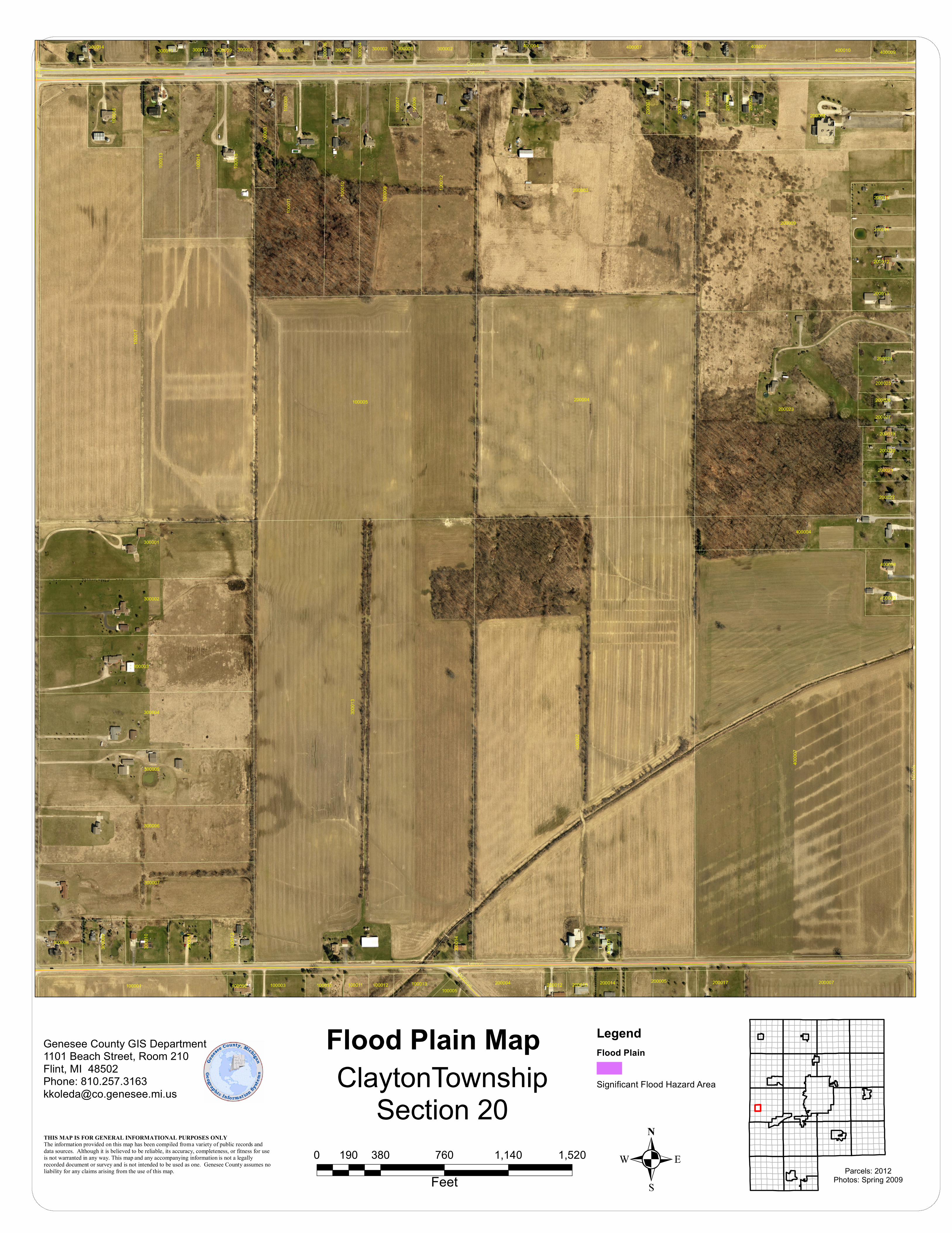
THIS MAP IS FOR GENERAL INFORMATIONAL PURPOSES ONLY The information provided on this map has been compiled from a variety of public records and data sources. Although it is believed to be reliable, its accuracy, completeness, or fitness for use is not warranted in any way. This map and any accompanying information is not a legally recorded document or survey and is not intended to be used as one. Genesee County assumes no liability for any claims arising from the use of this map. . Parcels: 2012
Photos: Spring 2009
Genesee County GIS Department1101 Beach Street, Room 210Flint, MI 48502Phone: [email protected]
ClaytonTownshipSection 20
0 380 760 1,140 1,520190
Feet
Flood Plain Map LegendFlood Plain
Significant Flood Hazard Area


