×
Log in
Upload File
Most Popular
Study
Business
Design
Technology
Travel
Explore all categories
Download -
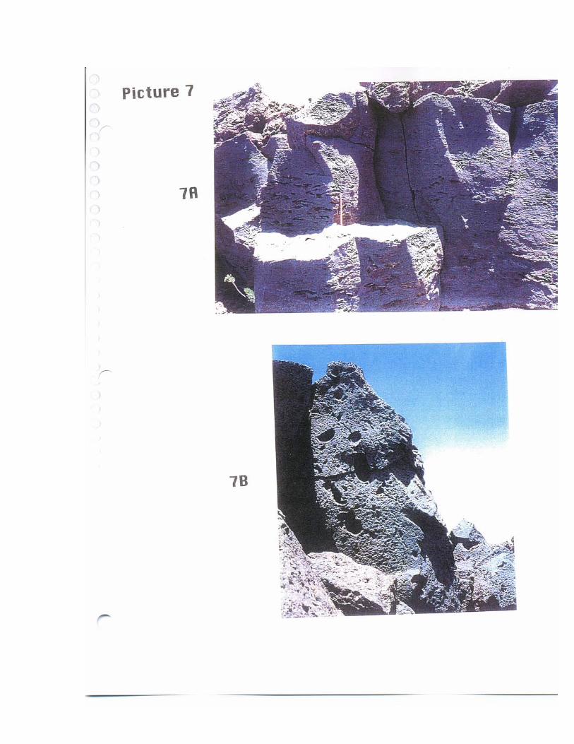
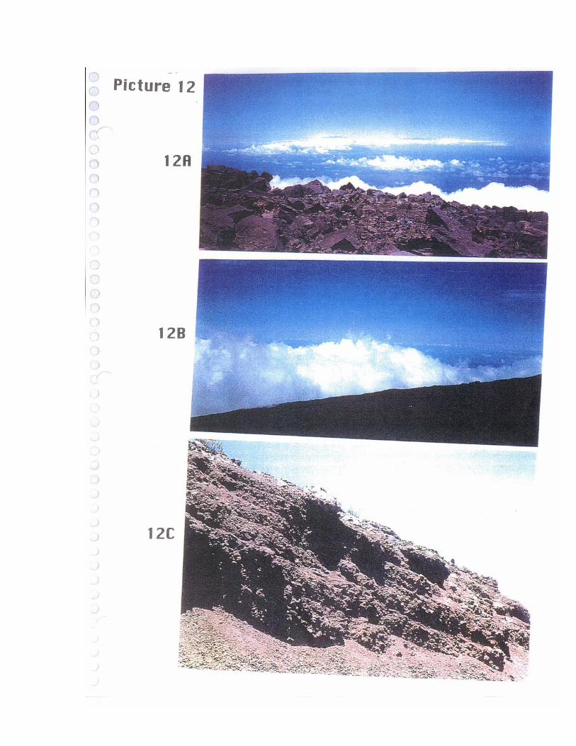
Geological Survey of the University of Hawaii Haleakala ... · geological maps were constructed based on field identification of various rocks at different outcrops (rock exposures),
Download
Transcript
Page 1
Page 2
Page 3
Page 4
Page 5
Page 6
Page 7
Page 8
Page 9
Page 10
Page 11
Page 12
Page 13
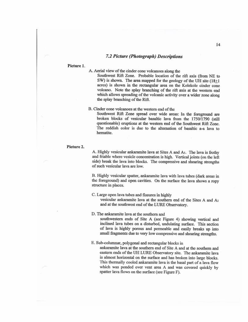
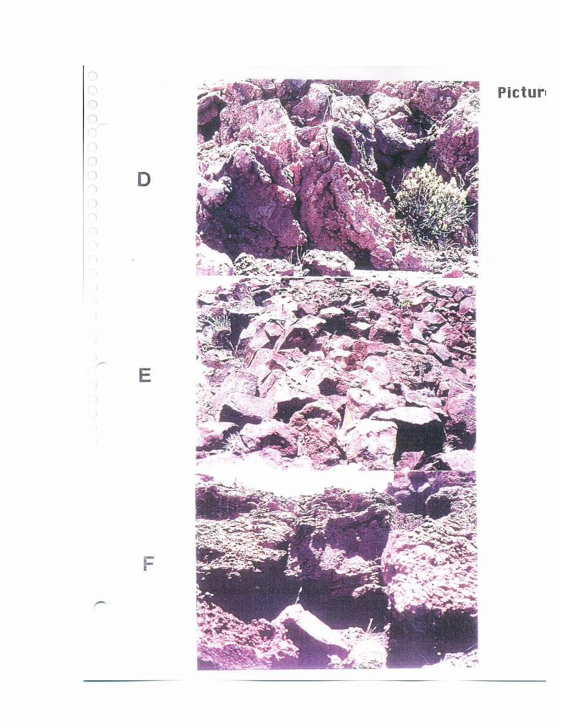
Page 14
Page 15
Page 16
Page 17
Page 18
Page 19
Page 20
Page 21
Page 22
Page 23
Page 24
Page 25
Page 26
Page 27
Page 28
Page 29
Page 30
Page 31
Page 32
Page 33
Page 34
Page 35
Page 36
Page 37
Page 38
Page 39
Page 40
Page 41
Page 42
Page 43
Page 44
Page 45
Page 46
Page 47
LOAD MORE
Top Related
3-D Laser Scanning and Virtual Photorealistic Outcrops ...aiken/CONSORTIUM06/aapgShortcourse_Notes.pdf · Virtual Photorealistic Outcrops: Acquisition, Visualization and Analysis
Autonomous Mapping of Outcrops Using Multiclass …robotics.estec.esa.int/i-SAIRAS/isairas2014/Data/Session...Autonomous Mapping of Outcrops Using Multiclass Linear Discriminant Analysis
Ordovician rafinesquinine brachiopods from peri …...Geographical and geological setting For this work material from the main Ordovician outcrops from North Africa (Anti-Atlas) and
NEW JERSEY GEOLOGICAL SURVEY · Figure 1. Generalized sketch map of northern New Jersey. The broad features of the three major geomorphic regions are indicated, and the outcrops of
Geological Mapping, Structural Setting and Petrographic ...€¦ · Field work during this study involved geological mapping with careful observations of individual outcrops.
Your use of this Ontario Geological Survey document (the ... · MPF and TMGM results are apparently unaffected. 5. Weakly mineralized outcrops may give rise to anomalous responses,
PLANTS IN HALEAKALA NATIONAL PARKmanoa.hawaii.edu/hpicesu/book/1992_chap/26.pdfLoope et al. \ Alien Plants in Haleakala National Park Table 1. Comparison of vascular floras of Haleakala
Implementation of the LASER Traffic Control System at Haleakala