Download - SWMA 3 Presentation
8/6/2019 SWMA 3 Presentation
http://slidepdf.com/reader/full/swma-3-presentation 1/13
DEVELOPMENT OF FLOOD HAZARD MAPPING N A
T I
( N A
H
MI N
I S
N A L H Y D R A
I M )
T R Y OF N A T
L I C R E S E A
R A
L R E S O U
C H
I N S T
I T U T
C E S A N
D E
E OF MA L A Y
V I R ON ME N T
I A ( N R E )
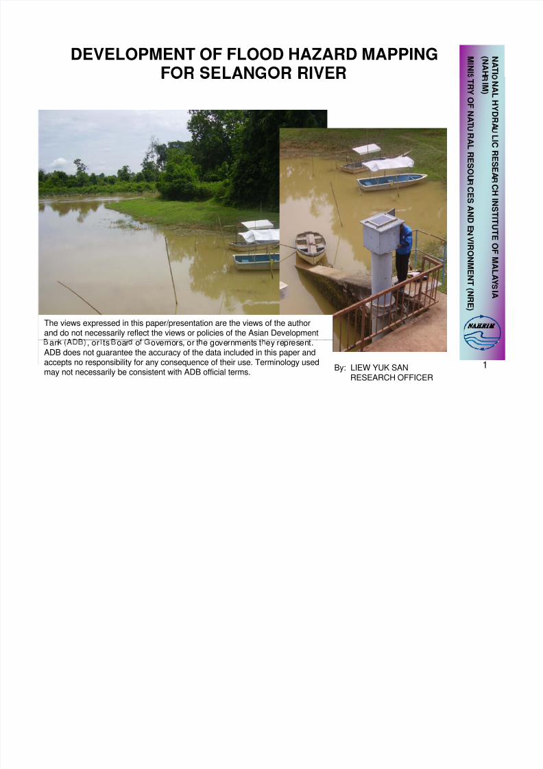
The views expressed in this paper/presentation are the views of the authorand do not necessarily reflect the views or policies of the Asian Development
1By: LIEW YUK SANRESEARCH OFFICER
an , or ts oar o overnors, or t e governments t ey represent.ADB does not guarantee the accuracy of the data included in this paper and
accepts no responsibility for any consequence of their use. Terminology usedmay not necessarily be consistent with ADB official terms.
8/6/2019 SWMA 3 Presentation
http://slidepdf.com/reader/full/swma-3-presentation 2/13
•
• STUDY AREA
•
• OUTPUT OF STUDY
2
8/6/2019 SWMA 3 Presentation
http://slidepdf.com/reader/full/swma-3-presentation 3/13
• To develope a complete river model using
InfoWorks River Simulation consisting ofhydrological, hydraulic and ground model(Covering main river system and flood
plain)• To generate a flood risk map based on
various return eriod
• To provide quick results on flood impact
catchment. 3
8/6/2019 SWMA 3 Presentation
http://slidepdf.com/reader/full/swma-3-presentation 4/13
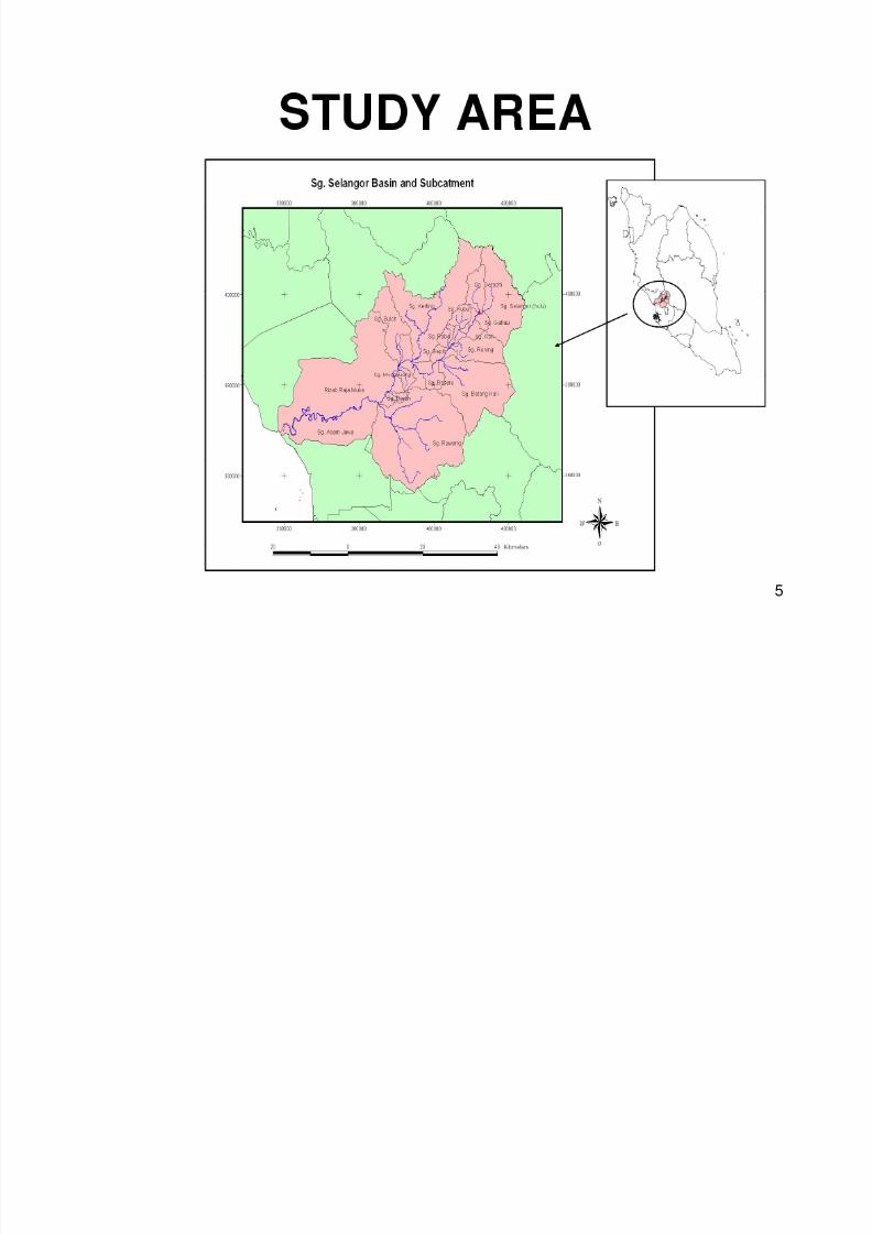
STUDY AREA
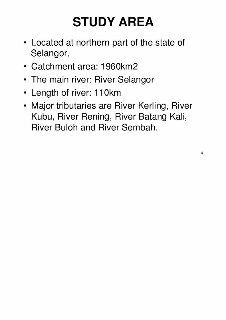
• Located at northern part of the state of.
• Catchment area: 1960km2
• The main river: River Selangor
• Length of river: 110km• Major tributaries are River Kerling, River
Kubu River Renin River Batan Kali River Buloh and River Sembah.
4
8/6/2019 SWMA 3 Presentation
http://slidepdf.com/reader/full/swma-3-presentation 5/13
5
8/6/2019 SWMA 3 Presentation
http://slidepdf.com/reader/full/swma-3-presentation 6/13
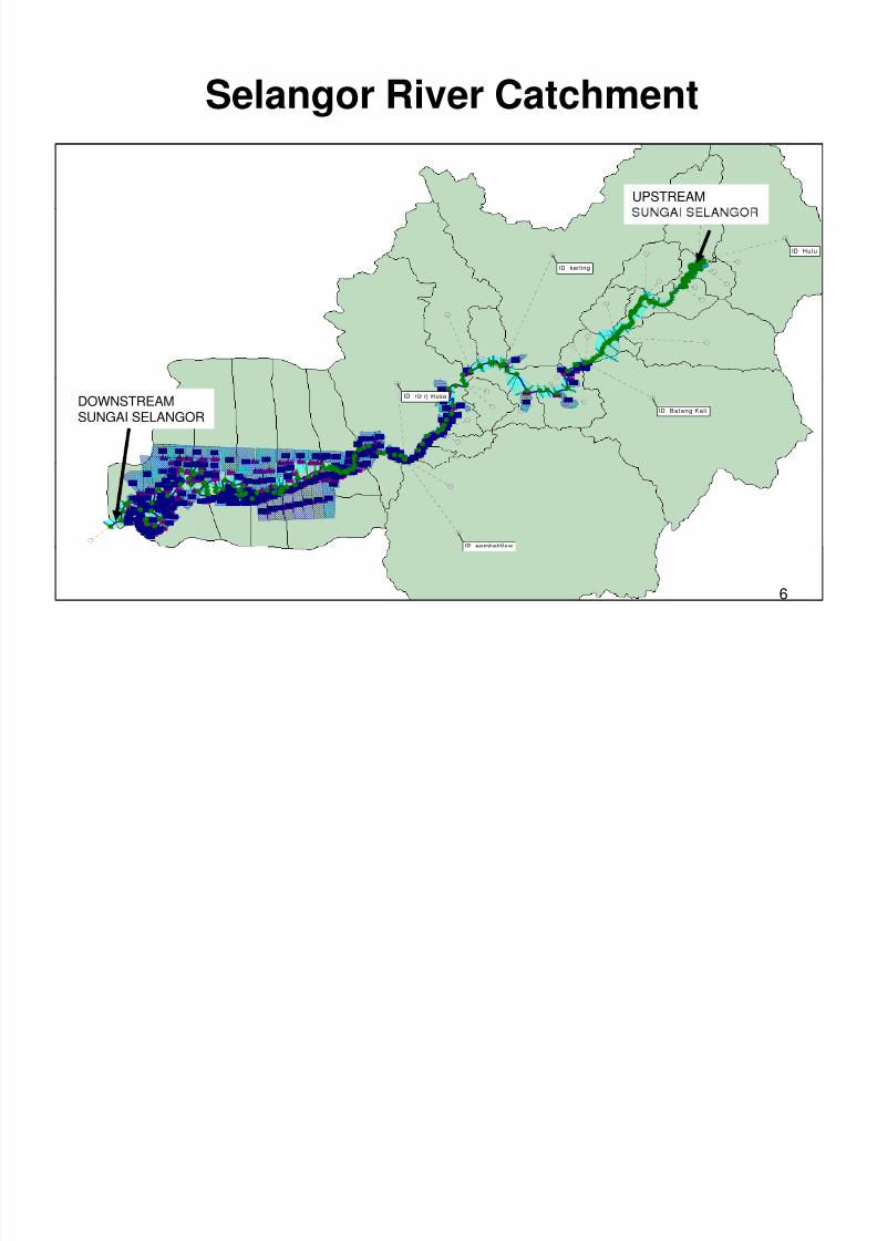
Selangor River Catchment
UPSTREAM
kerlingID
HuluID
Batang Kal iID
riz rj musaID
DOWNSTREAMSUNGAI SELANGOR
sembahflowID
6

8/6/2019 SWMA 3 Presentation
http://slidepdf.com/reader/full/swma-3-presentation 7/13
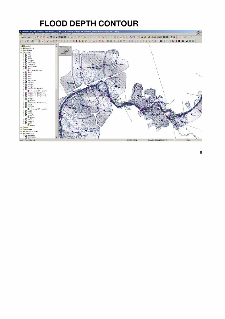
•
with the ground elevation of the flood plain
river.
the adjacent Klang Valley development is
near future.
7
8/6/2019 SWMA 3 Presentation
http://slidepdf.com/reader/full/swma-3-presentation 8/13
8/6/2019 SWMA 3 Presentation
http://slidepdf.com/reader/full/swma-3-presentation 9/13
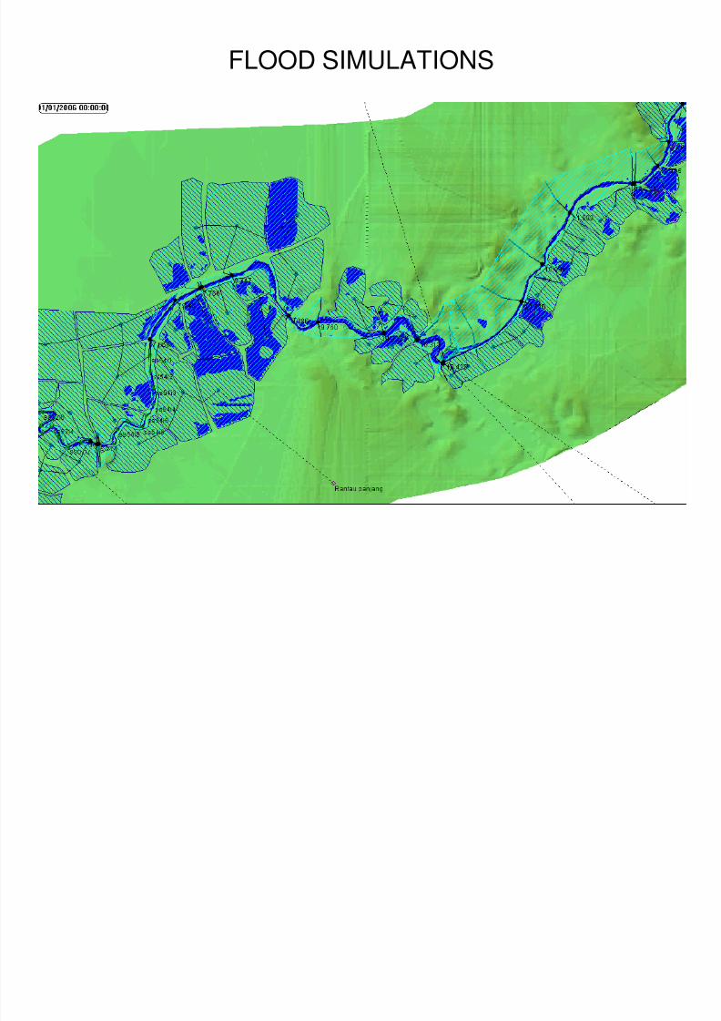
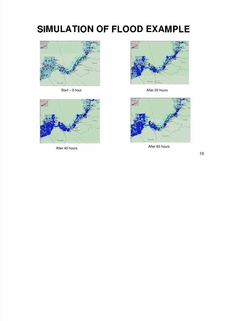
FLOOD SIMULATIONS
9
8/6/2019 SWMA 3 Presentation
http://slidepdf.com/reader/full/swma-3-presentation 10/13
Start – 0 hour After 20 hours
After 60 hoursAfter 40 hours
10
8/6/2019 SWMA 3 Presentation
http://slidepdf.com/reader/full/swma-3-presentation 11/13
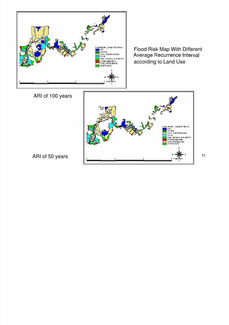
Flood Risk Map With Different
according to Land Use
ARI of 100 years
ARI of 50 years 11

8/6/2019 SWMA 3 Presentation
http://slidepdf.com/reader/full/swma-3-presentation 12/13
• Automatic flood map delineation can be
done with the combination of hydrological,hydraulic and ground model.
• Flood Risk Map could be a quick decision
su ort s stem tool to stud the im act ofeither human activities(planned/unplanned)at catchment area of a river s stem.
12

8/6/2019 SWMA 3 Presentation
http://slidepdf.com/reader/full/swma-3-presentation 13/13
THANK YOU
13


