ecsa data tools & technology wg envip 2015
TRANSCRIPT

Previous discussion …
Introduction
Where we are and were do we want to go ?
Comparison: Computer Networks and Citizen Science
Networks
Topics to develop
Conceptual models to use as a reference
Roadmap draft
ECSA Data Tools & Technology WG
ENVIP 2015

Computer Networks
Citizen Science Networks(Citizen Observatories)
INTERNET
+
IoT(Internet of Things)
INTERNET+
IoT
World Wide Web
INTERNET
+
IoT(Internet of Things)
+
IoP(Internet of People)

Conceptual models for Internet of PeopleO
pe
n S
ys
tem
s I
nte
rco
nn
ec
tio
n
(OS
I) m
od
el
Physical layer
Electrical signal and cabling
Data Link (MAC) layer
Transmits packets from node
to node based on station
address
Network layer
Routes data to different LANs
and WANs based on network
address
Transport layer
Ensure delivery of entire file or
message
Session layer
Starts, stops session.
Maintain order
Presentation layer
Encription data conversions:
ASCII to EBCDIC,
BCD to Binary, etc ...
Application layer
Type of communication:
e-mail, file transfer,
client server, etc ...
Network
User
Interoperability
Privacy/Security
Data reliability
Intellectual property rights
Engagement
Others … ?
IoP Topics

Citizen Science
Model
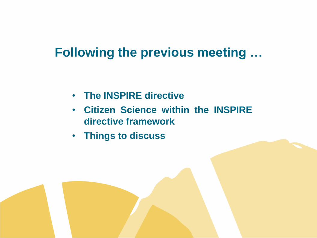
Following the previous meeting …
• The INSPIRE directive
• Citizen Science within the INSPIRE
directive framework
• Things to discuss

The INSPIRE Directive
The INSPIRE directive came into force on 15 May 2007 and
will be implemented in various stages, with full
implementation required by 2019.
The INSPIRE directive aims to create a European Union (EU)
spatial data infrastructure. This will enable the sharing of
environmental spatial information among public sector
organisations and better facilitate public access to spatial
information across Europe.
A European Spatial Data Infrastructure will assist in policy-
making across boundaries. Therefore the spatial information
considered under the directive is extensive and includes a
great variety of topical and technical themes.
http://inspire.ec.europa.eu/
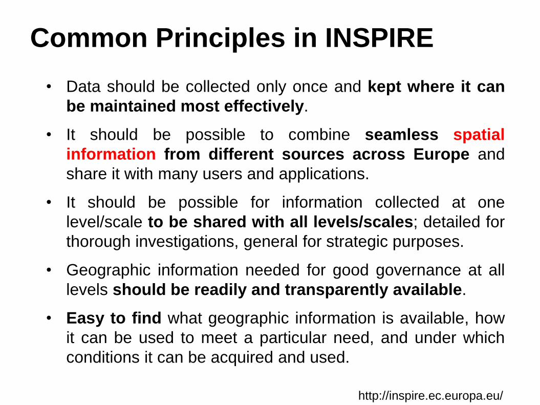
Common Principles in INSPIRE
• Data should be collected only once and kept where it can
be maintained most effectively.
• It should be possible to combine seamless spatial
information from different sources across Europe and
share it with many users and applications.
• It should be possible for information collected at one
level/scale to be shared with all levels/scales; detailed for
thorough investigations, general for strategic purposes.
• Geographic information needed for good governance at all
levels should be readily and transparently available.
• Easy to find what geographic information is available, how
it can be used to meet a particular need, and under which
conditions it can be acquired and used.
http://inspire.ec.europa.eu/

Spatial DATACitizen Science in Earth Observation systems:
from “2D” to “3D” view
“2D view” “3D view”
In situ -P (Professional -conventional-)
In situ -CS (Citizen Science based)

Earth Observation systemsExample of the need of the “third leg” domain (In situ-CS)
In situ -P (Professional -conventional-)
In situ -CS (Citizen Science based)
Invasive/Alien species
Giant applesnail. Ebro delta(Photo: Mariano Cebolla)

Technical Implementation
New challenges …
TOP-DOWN
APPROACH
Recommendations
& Standards
(Technical WG)
Data producers
Groups or entities
With IT expertise
Data producers
Dominated by
local initiatives
developed groups
many of them with
Low IT expertise
Recommendations
& Standards
(Technical WG)
BOTTOM-UP
APPROACH

INSPIRE Implementing Rules for Metadata and ISO
ISO 19115 designates these normative references:
• EN ISO 19115:2005, Geographic information - Metadata
• ISO 19115/Cor.1:2006, Geographic information – Metadata, Technical Corrigendum
ISO 19119 designates these two normative references:
• ISO 19119:2005, Geographic information - Services
• ISO 19119:2005/FDAmd 1, Extensions of the service metadata model
ISO 19108:2005, Geographic information – Temporal Schema
ISO 639-2, Codes for the representation of names of languages - Part 2: Alpha-3 code
ISO 8601, Data elements and interchange formats - Information interchange – Representation
of dates and times
ISO/TS 19139:2007, Geographic information - Metadata – XML Schema Implementation
CSW2 AP ISO, OpenGIS Catalogue Services Specification 2.0.2 - ISO Metadata Application
Profile, Version 1.0.0, OGC 07-045, 2007
ISO 10646-1, Information technology ― Universal Multiple-Octet Coded Character Set (UCS)-
Part 1: Architecture and Basic Multilingual Plane
SOURCE: European Comision: Relation between ISO 19115 and ISO 19119 and the elements of
the INSPIRE draft metadata implementing rules
Normative references
http://inspire.jrc.ec.europa.eu/documents/Metadata/INSPIRE_MD_IR_and_ISO_v1_2_20100616.pdf

Things to discus …
Assuming that, in the case of In situ-CS the approach is
bottom-up (need to be discussed?). Two major questions arise:
• Which could be the model of reference ?
• Interoperability at global scale (USA, Australia …)
• Interoperability with other domains (RS, In situ-P, …)
• How can make this model (and the derived products and
services) accessible to Citizen Science (local) initiatives
?