erddap: easier access to scientific data · and services, and providing access via a single...
TRANSCRIPT

ERDDAP: Easier access to scientific
data
Rich Signell - USGS Filipe Fernandes - IOOS
OOI DDCI Kickoff Meeting, October 30, 2018

What is ERDDAP?
A data brokerage service, reading from many different types of files, databases and services, and providing access via a single standardized interface
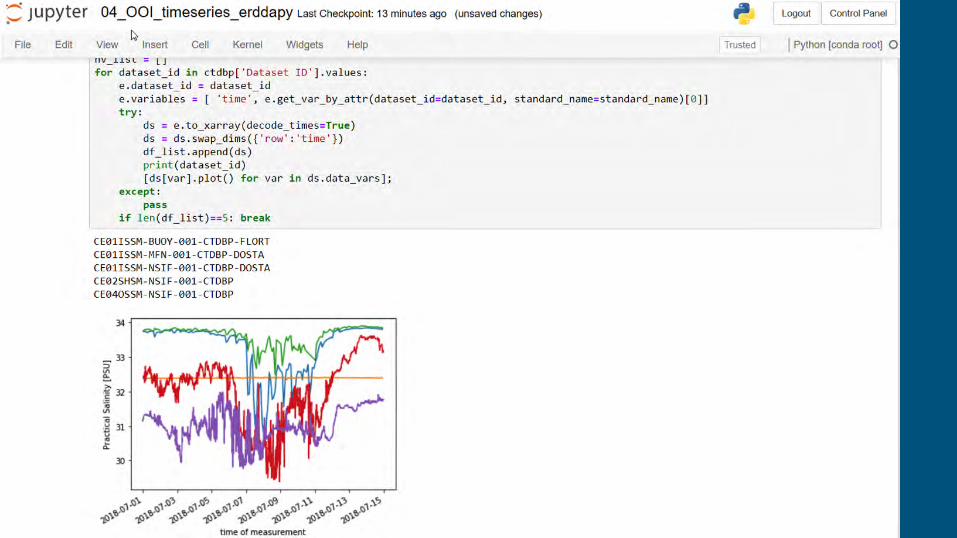
RESTful API for access in scientific analysis packages (Matlab, Python, R), web application developers (JavaScript), and by numerical modelers (Fortran, Bash)
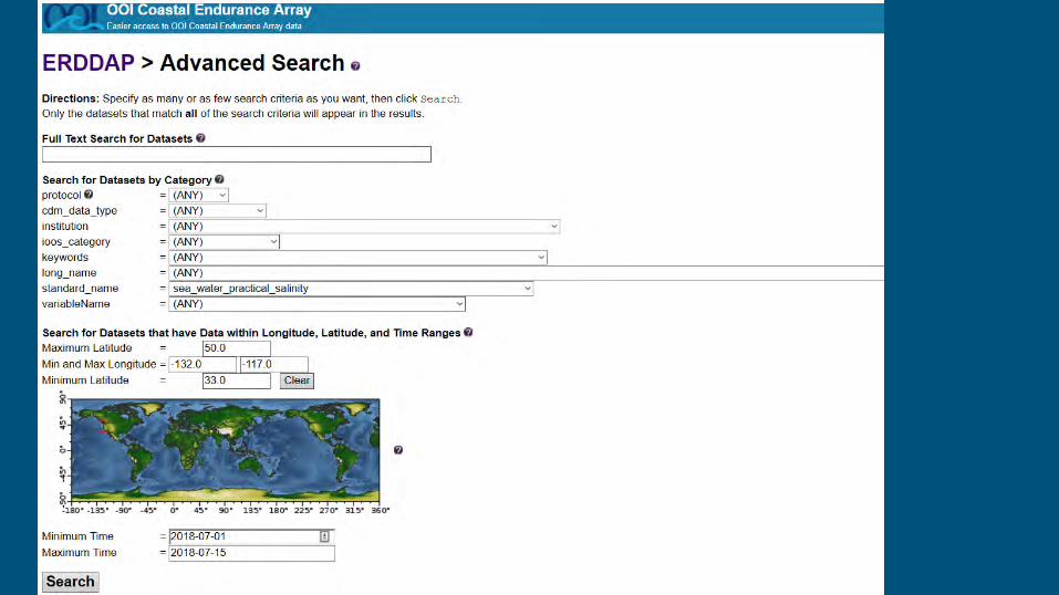
Advanced search built-in, and also generates ISO and json-ld metadata records to allow search via sites like data.gov, and Google Dataset Search.
Widely used for delivery of “FAIR” data in the geoscience community (more than 50 server deployments worldwide)

USGS Integrated Ocean Observing System
11 Regional Associations 17 Federal Partners Web Standards: Grid: OPeNDAP Sensor: ERDDAP Image: WMS Metadata: CSW


CGSN Dashboard


ERDDAP vs M2M
ERDDAP M2M
RESTful Interface Yes Yes
Widely used by community Yes No
Advanced Search Yes No
ISO, JSON-LD Metadata Yes No
Output types 40 (NetCDF, json, mat, csv …)
2 (NetCDF, json)
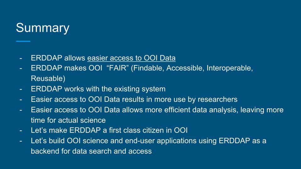
Summary
- ERDDAP allows easier access to OOI Data - ERDDAP makes OOI “FAIR” (Findable, Accessible, Interoperable,
Reusable) - ERDDAP works with the existing system - Easier access to OOI Data results in more use by researchers - Easier access to OOI Data allows more efficient data analysis, leaving more
time for actual science - Let’s make ERDDAP a first class citizen in OOI - Let’s build OOI science and end-user applications using ERDDAP as a
backend for data search and access