flood map modernization and the tennessee base mapping program
DESCRIPTION
Flood Map Modernization and the Tennessee Base Mapping Program. Dennis Pedersen, Director F&A, OIR – GIS Services. Presentation Overview. What is the DFIRM Product? Components of DFIRM Product Tennessee Base Map Source Data Tennessee Base Map Topography Source Data GIS Data Sources - PowerPoint PPT PresentationTRANSCRIPT
Office for Information Resources
GIS Services
Flood Map Flood Map Modernization and Modernization and the Tennessee Base the Tennessee Base Mapping ProgramMapping Program
Flood Map Flood Map Modernization and Modernization and the Tennessee Base the Tennessee Base Mapping ProgramMapping Program
Dennis Pedersen, Director F&A, OIR – GIS Services
OIR – GIS Services 2
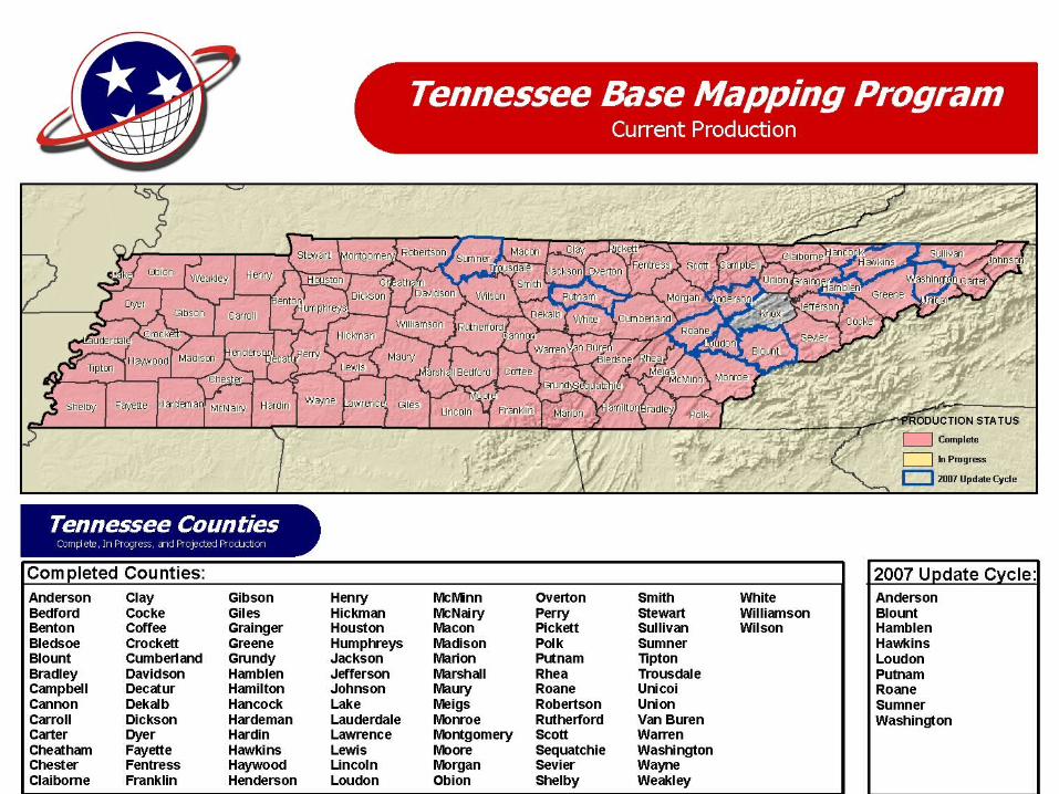
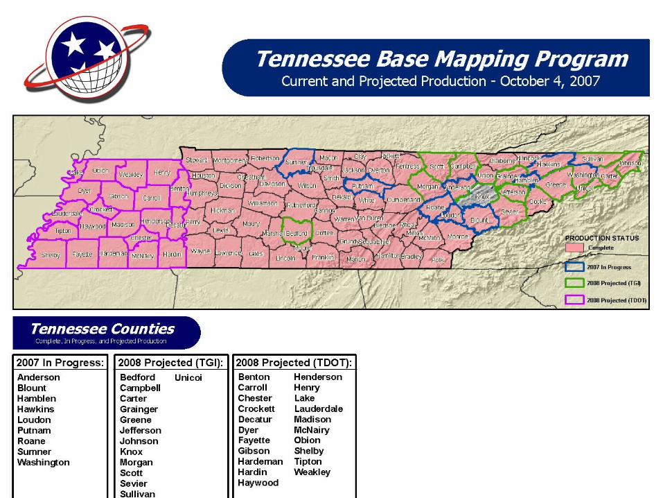
Tennessee Base Mapping Program
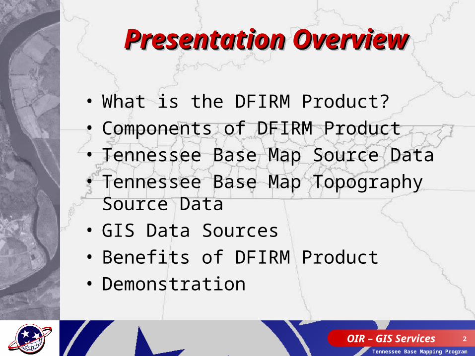
• What is the DFIRM Product?• Components of DFIRM Product• Tennessee Base Map Source Data• Tennessee Base Map Topography
Source Data• GIS Data Sources• Benefits of DFIRM Product• Demonstration
Presentation OverviewPresentation OverviewPresentation OverviewPresentation Overview
OIR – GIS Services 3
Tennessee Base Mapping Program
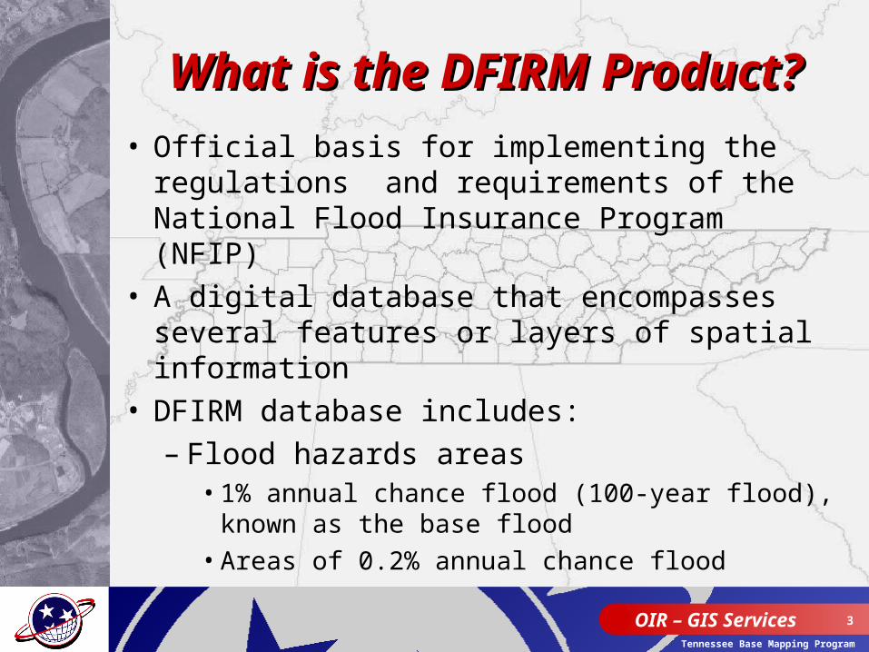
What is the DFIRM What is the DFIRM Product?Product?
• Official basis for implementing the regulations and requirements of the National Flood Insurance Program (NFIP)
• A digital database that encompasses several features or layers of spatial information
• DFIRM database includes:– Flood hazards areas
• 1% annual chance flood (100-year flood), known as the base flood
• Areas of 0.2% annual chance flood
OIR – GIS Services 4
Tennessee Base Mapping Program
What is the DFIRM What is the DFIRM Product? (cont.)Product? (cont.)
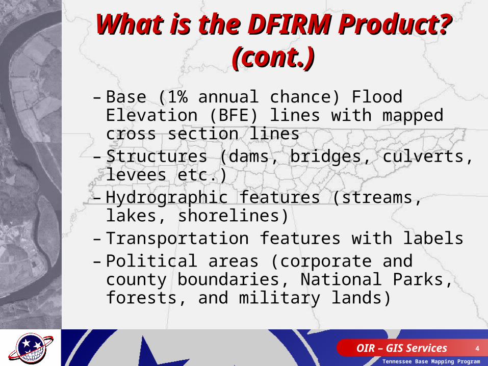
– Base (1% annual chance) Flood Elevation (BFE) lines with mapped cross section lines
– Structures (dams, bridges, culverts, levees etc.)
– Hydrographic features (streams, lakes, shorelines)
– Transportation features with labels– Political areas (corporate and county
boundaries, National Parks, forests, and military lands)
OIR – GIS Services 5
Tennessee Base Mapping Program
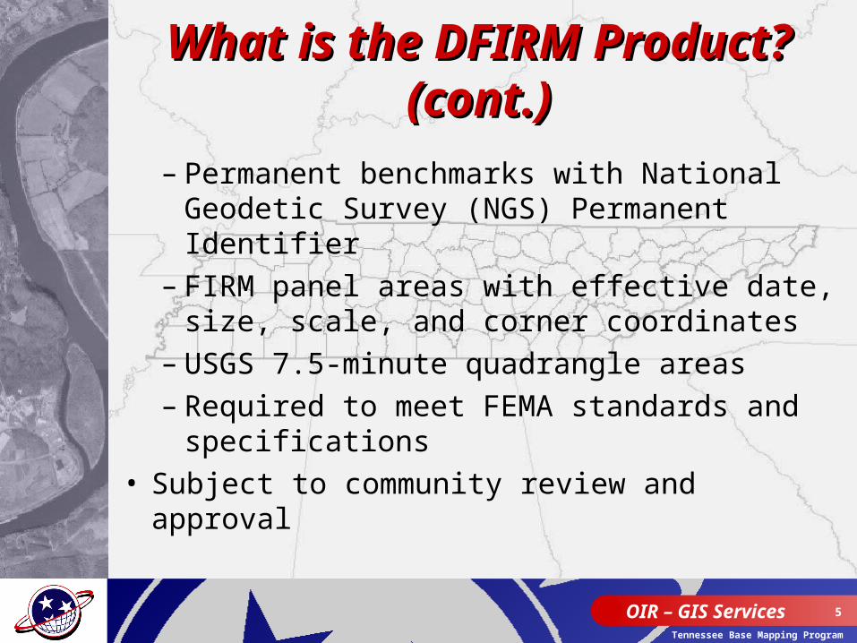
What is the DFIRM What is the DFIRM Product? (cont.)Product? (cont.)
– Permanent benchmarks with National Geodetic Survey (NGS) Permanent Identifier
– FIRM panel areas with effective date, size, scale, and corner coordinates
– USGS 7.5-minute quadrangle areas– Required to meet FEMA standards and
specifications• Subject to community review and
approval
OIR – GIS Services 6
Tennessee Base Mapping Program
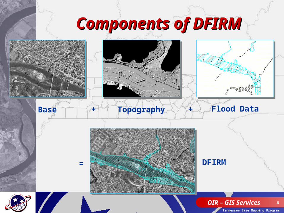
Components of DFIRMComponents of DFIRM
DFIRM=
Flood DataBase + Topography +
OIR – GIS Services 7
Tennessee Base Mapping Program
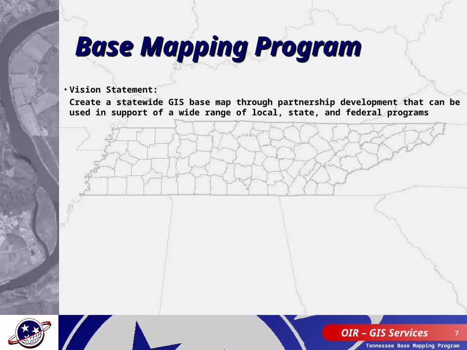
• Vision Statement: Create a statewide GIS base map through partnership development that can be used in support of a wide range of local, state, and federal programs
Base Mapping Program Base Mapping Program Base Mapping Program Base Mapping Program
OIR – GIS Services 8
Tennessee Base Mapping Program
OIR – GIS Services 9
Tennessee Base Mapping Program
Tennessee Base Map Tennessee Base Map Source DataSource Data
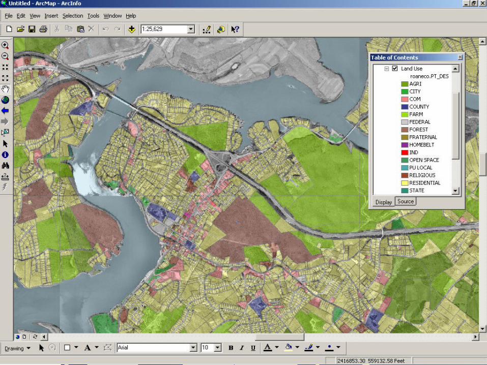
• Parcels and related features– Parcel boundaries– Parcel annotations– Other cadastral features
• Planimetrics - Edge-of-pavement (EOP)- Hydrology
- Streams- Lakes, rivers, and shorelines
OIR – GIS Services 10
Tennessee Base Mapping Program
Tennessee Base MapTennessee Base MapSource Data Source Data (cont.)(cont.)
•Street centerlines•Administrative boundaries
–County and city
OIR – GIS Services 11
Tennessee Base Mapping Program
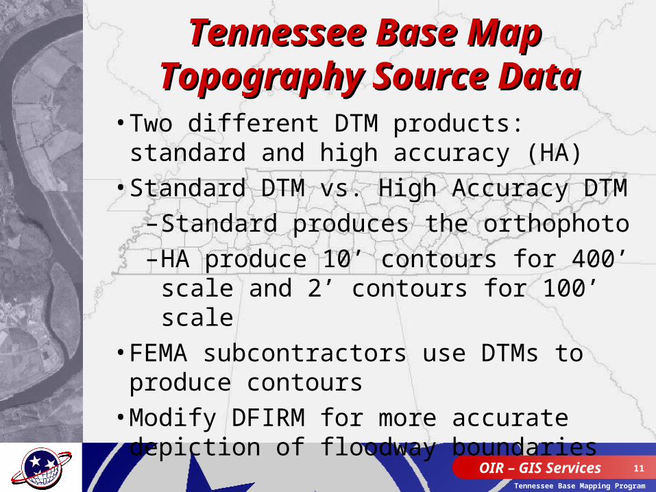
Tennessee Base Map Tennessee Base Map Topography Source DataTopography Source Data• Two different DTM products: standard and
high accuracy (HA)• Standard DTM vs. High Accuracy DTM
–Standard produces the orthophoto–HA produce 10’ contours for 400’ scale
and 2’ contours for 100’ scale• FEMA subcontractors use DTMs to produce
contours• Modify DFIRM for more accurate depiction
of floodway boundaries
OIR – GIS Services 12
Tennessee Base Mapping Program
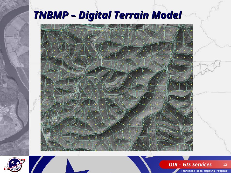
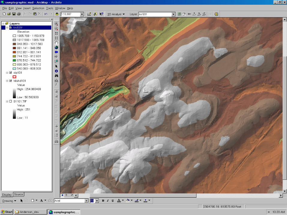
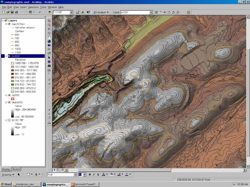
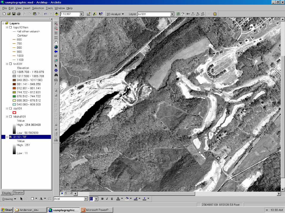
TNBMP – Digital Terrain ModelTNBMP – Digital Terrain Model
OIR – GIS Services 13
Tennessee Base Mapping Program
OIR – GIS Services 14
Tennessee Base Mapping Program
OIR – GIS Services 15
Tennessee Base Mapping Program
OIR – GIS Services 16
Tennessee Base Mapping Program
OIR – GIS Services 17
Tennessee Base Mapping Program
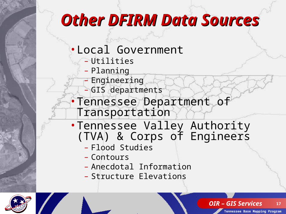
Other DFIRM Data Other DFIRM Data SourcesSources
•Local Government– Utilities– Planning – Engineering– GIS departments
•Tennessee Department of Transportation
•Tennessee Valley Authority (TVA) & Corps of Engineers
– Flood Studies– Contours– Anecdotal Information– Structure Elevations
OIR – GIS Services 18
Tennessee Base Mapping Program
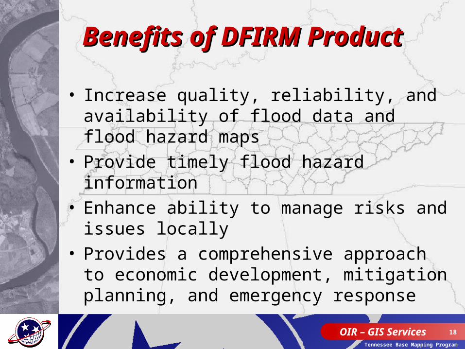
Benefits of DFIRM Benefits of DFIRM ProductProduct
• Increase quality, reliability, and availability of flood data and flood hazard maps
• Provide timely flood hazard information • Enhance ability to manage risks and
issues locally• Provides a comprehensive approach to
economic development, mitigation planning, and emergency response
OIR – GIS Services 19
Tennessee Base Mapping Program
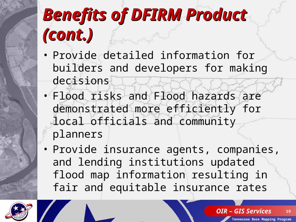
Benefits of DFIRM Product Benefits of DFIRM Product (cont.)(cont.)• Provide detailed information for builders
and developers for making decisions• Flood risks and Flood hazards are
demonstrated more efficiently for local officials and community planners
• Provide insurance agents, companies, and lending institutions updated flood map information resulting in fair and equitable insurance rates
OIR – GIS Services 20
Tennessee Base Mapping Program
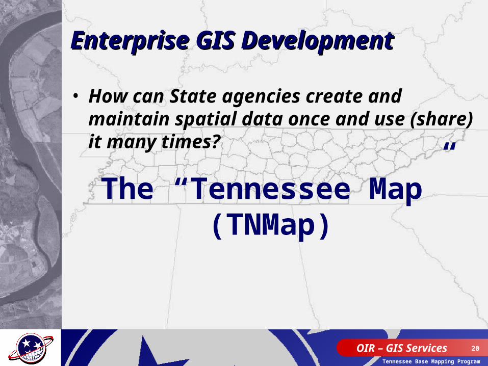
• How can State agencies create and maintain spatial data once and use (share) it many times?
The “Tennessee Map” (TNMap)
Enterprise GIS DevelopmentEnterprise GIS Development
OIR – GIS Services 21
Tennessee Base Mapping Program
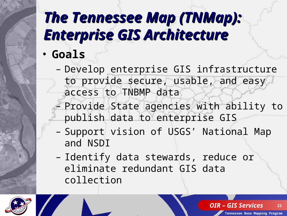
• Goals– Develop enterprise GIS infrastructure to provide
secure, usable, and easy access to TNBMP data– Provide State agencies with ability to publish data
to enterprise GIS– Support vision of USGS’ National Map and NSDI– Identify data stewards, reduce or eliminate
redundant GIS data collection
The Tennessee Map (TNMap): The Tennessee Map (TNMap): Enterprise GIS ArchitectureEnterprise GIS Architecture
OIR – GIS Services 22
Tennessee Base Mapping Program
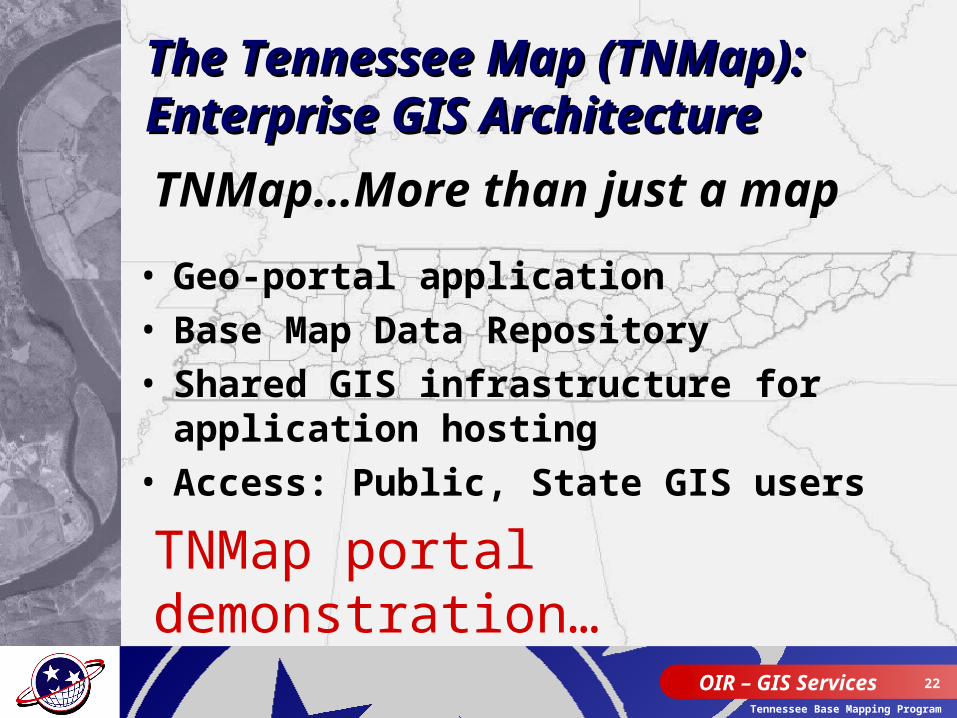
• Geo-portal application• Base Map Data Repository• Shared GIS infrastructure for application
hosting• Access: Public, State GIS users
TNMap…More than just a map
The Tennessee Map (TNMap): The Tennessee Map (TNMap): Enterprise GIS ArchitectureEnterprise GIS Architecture
TNMap portal demonstration…
OIR – GIS Services 23
Tennessee Base Mapping Program
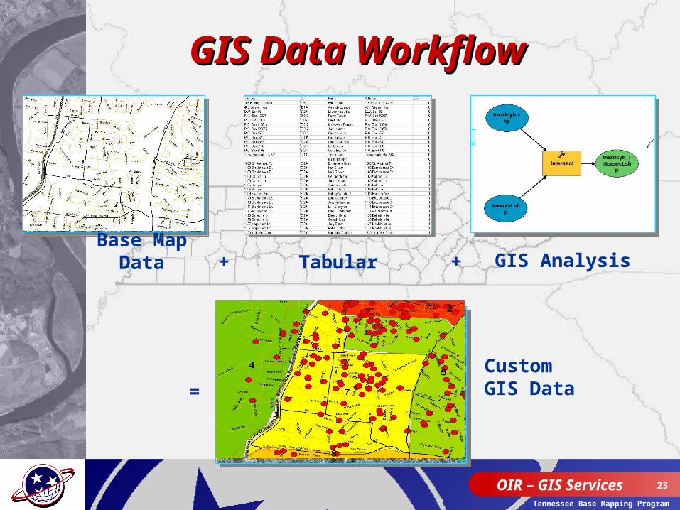
GIS Data WorkflowGIS Data Workflow
Custom GIS Data=
GIS AnalysisBase Map
Data + Tabular +
OIR – GIS Services 24
Tennessee Base Mapping Program
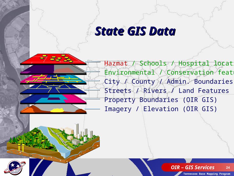
State GIS Data State GIS Data
Hazmat / Schools / Hospital locations
Environmental / Conservation features
City / County / Admin. Boundaries (OIR GIS)
Streets / Rivers / Land Features (OIR GIS)
Property Boundaries (OIR GIS)
Imagery / Elevation (OIR GIS)
OIR – GIS Services 25
Tennessee Base Mapping Program
OIR – GIS Services 26
Tennessee Base Mapping Program
OIR – GIS Services 27
Tennessee Base Mapping Program

OIR – GIS Services 28
Tennessee Base Mapping Program
OIR – GIS Services 29
Tennessee Base Mapping Program
OIR – GIS Services 30
Tennessee Base Mapping Program
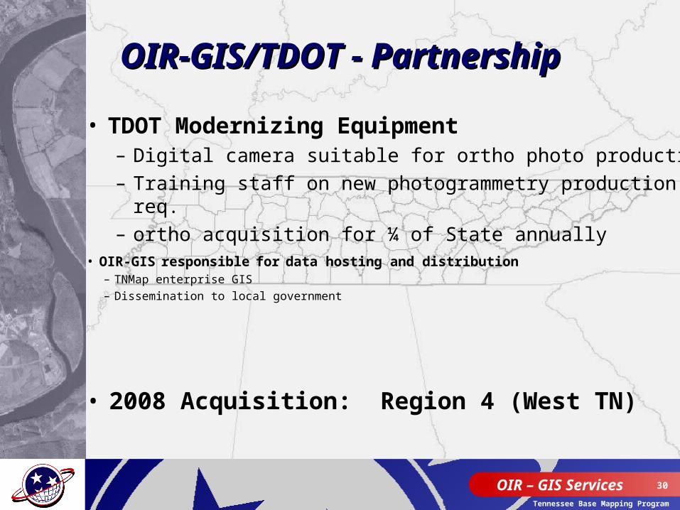
OIR-GIS/TDOT - PartnershipOIR-GIS/TDOT - Partnership
• TDOT Modernizing Equipment– Digital camera suitable for ortho photo production– Training staff on new photogrammetry production req.– ortho acquisition for ¼ of State annually
• 2008 Acquisition: Region 4 (West TN)
• OIR-GIS responsible for data hosting and distribution– TNMap enterprise GIS– Dissemination to local government
OIR – GIS Services 31
Tennessee Base Mapping Program
OIR – GIS Services 32
Tennessee Base Mapping Program
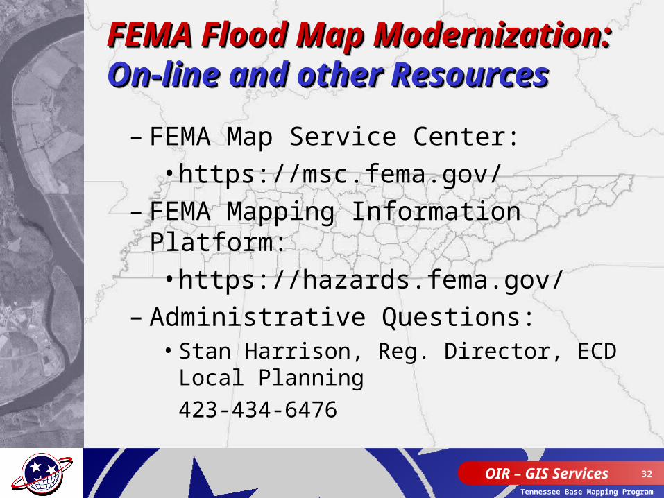
– FEMA Map Service Center:• https://msc.fema.gov/
– FEMA Mapping Information Platform:• https://hazards.fema.gov/
– Administrative Questions:• Stan Harrison, Reg. Director, ECD Local
Planning 423-434-6476
FEMA Flood Map FEMA Flood Map Modernization:Modernization:On-line and other ResourcesOn-line and other Resources
FEMA Flood Map FEMA Flood Map Modernization:Modernization:On-line and other ResourcesOn-line and other Resources
OIR – GIS Services 33
Tennessee Base Mapping Program
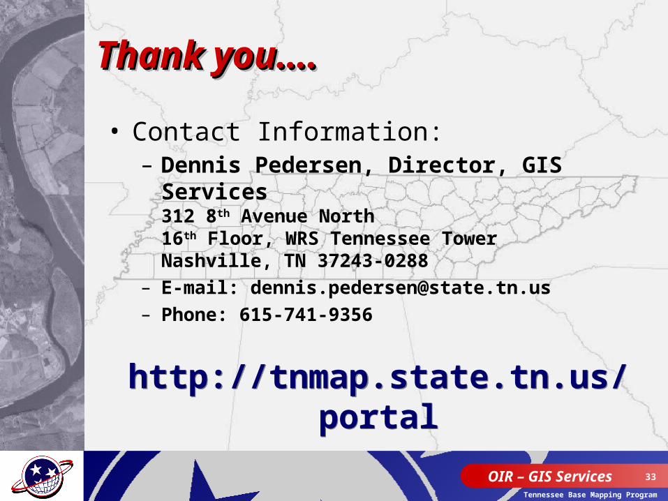
Thank you….Thank you….Thank you….Thank you….
• Contact Information:– Dennis Pedersen, Director, GIS
Services312 8th Avenue North16th Floor, WRS Tennessee TowerNashville, TN 37243-0288
– E-mail: [email protected]– Phone: 615-741-9356
http://tnmap.state.tn.us/portal
http://tnmap.state.tn.us/portal