forest vegetation analysis and land cover …...fig working week 2011 bridging the gap between...
TRANSCRIPT

FIG Working Week 2011
Bridging the Gap between Cultures
Marrakech, Morocco, 18‐22 May 2011 1
Forest Vegetation Analysis and Land Cover
Assessment in Tan Sub Watershed of Hasdeo
River Basin, Chhattisgarh, India
Ajay K SinghDepartment of Forestry, Wildlife
& Environmental Sciences
GGU, Bilaspur-495009 CG. INDIA
E-mail: [email protected]
What is a Forest?
The forest is a complex ecosystem consisting mainly of trees that
buffer the earth and support a myriad of life forms.
FAO Forest Definition
• The FAO defined forest as land with tree crown cover (or equivalent stocking level) of more than 10 percent and area of more than 0.5 hectare.
• The trees should be able to reach a minimum height of 5 m at maturity in situ.
Forests are further subdivided into plantations and natural forests.
Natural forests are forests composed mainly of indigenous trees not deliberately planted.
Plantations are forest stands established by planting or seeding, or both, in the process of afforestation or reforestation.

FIG Working Week 2011
Bridging the Gap between Cultures
Marrakech, Morocco, 18‐22 May 2011 2
Role of Forest
The trees help create a special environment which, in turn, affects the kinds of animals and plants that can exist in the forest.
They clean the air, cool it on hot days, conserve heat at night, and act as excellent sound absorbers.
Forests are the most valuable natural resources available to the mankind on planet earth. Trees are an important component of the environment.
On the one hand, they are the essential source of livelihood for the poor and marginalized sections of the society; it also they provide furniture and other items of desire for the rich.
Contd…..
Plants provide a protective canopy that lessens the impact of raindrops on the soil -reducing soil erosion.
The layer of leaves that fall around the tree prevents runoff and allows the water to percolate into the soil. Roots help to hold the soil in place.
Dead plants decompose to form humus, organic matter that holds the water and provides nutrients to the soil.
Plants provide habitat to different types of organisms. Birds build their nests on the branches of trees, animals and birds live in the hollows, insects and other organisms live in various parts of the plant.
They produce large quantities of oxygen and take in carbon dioxide. Transpiration from the forests affects the relative humidity and precipitation in a place.
Role of Forest

FIG Working Week 2011
Bridging the Gap between Cultures
Marrakech, Morocco, 18‐22 May 2011 3
Agro-Climatic Conditions
Forests can develop wherever the average temperature is greater then 10 C in the warmest month and rainfall exceeds 200 mm annually.
In any area having conditions above this range there exists a variety of tree species grouped into a number of forest types that are determined by the specific conditions of the environment there, including the climate, soil, geology, and biotic activity.
FOREST DISTRIBUTION IN WORLD
TOTAL FOREST COVER OF THE WORLD
=4 BILLION HECTARES
=30.3% (FAO report, 2005)

FIG Working Week 2011
Bridging the Gap between Cultures
Marrakech, Morocco, 18‐22 May 2011 4
IMPORTANT FACTS ABOUT THE WORLD FOREST:
•World has about 4 billion ha or about 40 million sq km or 30.3% of total land
area forest
•Forest area per capita is 0.62 ha
•64 countries have less than 10% of their total land area under forest
•45 countries have more than 50% of their total land area under forest
•Each year about 13 million ha of the world forest are lost due to deforestation
•Forests are home to 300 million peoples around the world
•In developing countries about 1.2 billion peoples rely on agro forestry farming
system that help to sustain life
•Global employment in the farm forestry sector : 17 Million peoples.
•Forest provide habitat to about 2/3 of all spices on the earth.
•Deforestation accounts for up to 20% of the global green house gas emission
that causes global warming.
1 BRAZIL 415,890
2 RUSSIAN FEDERATION 255,470
3 CANADA 165,424
4 UNITED STATE OF AMERICA 104,182
5 PERU 61,065
6 COLOMBIA 53,062
7 INDONESIA 48,702
8 MEXICO 32,850
9 BOLIVIA 29,360
10 PAPUA NEW GUINEA 25,211
Most primary forest cover in World:

FIG Working Week 2011
Bridging the Gap between Cultures
Marrakech, Morocco, 18‐22 May 2011 5
Country/area Land area area 2000 Area change 1990-2000(total forest)Natural forest plantation Total forest
000 ha 000 ha 000 ha 000 ha % ha/ capita 000 ha/ year %
Bangladesh 13 017 709 625 1 334 10.2 n.s. 17 1.3
Bhutan 4 701 2 995 21 3 016 64.2 1.5 n.s. n.s.
India 297 319 31 535 32 578 64 113 21.6 0.1 38 0.1
Maldives 30 1 - 1 3.3 n.s. n.s. n.s.
Nepal 14 300 3 767 133 3 900 27.3 0.2 -78 -1.8
Pakistan 77 087 1 381 980 2 361 3.1 n.s. -39 -1.5
Sri lanka 6 463 1 625 316 1 940 30.0 0.1 -35 -1.6
Total 412 917 42 013 34 652 76 665 18.6 0.1 -98 -0.1
Total 3 084 746 431 946 115 847 547 793 17.8 0.2 -364 -0.1
TOTAL WORLD
1,3 0,63, 900 3 6,82, 722 1,86, 733 3 8,69, 455 30.6 0.6 -9 391 -0.2
South Asia: forest resources
IN INDIA:Forest Cover (in hectares) : 67,701,000
Forest Cover (as % of total land area) : 22.8%
Other wooded land (in hectares) : 4,110,000
Other land with tree cover (in hectares) : 815,000
Total land area (in hectares) : 328,726,300
(IRS-P6 LISS III 2008)

FIG Working Week 2011
Bridging the Gap between Cultures
Marrakech, Morocco, 18‐22 May 2011 6
Different types of forests in IndiaIndia has a large and diverse forest resource. The country's very large population means, that intense demands are placed on its forests.
India’s forest types vary from tropical rainforest in north-eastern to desert and thorn forests in Gujarat and Rajasthan; mangrove forests in West Bengal, Orissa and other coastal areas and dry alpine forests in the western Himalaya.
The most common forest types are tropical moist deciduous forest, tropical dry deciduous forests found in Madhya Pradesh and Chhattisgarh and wet tropical evergreen forests.
Location Map of Chhattisgarh
(A state of India)Area:1,36,034 Sq. Km.
Population:20,833,803
Capital: Raipur
Principal Languages: Hindi

FIG Working Week 2011
Bridging the Gap between Cultures
Marrakech, Morocco, 18‐22 May 2011 7
CHHATTISGARH FOREST AREA
Reserved Forests 25782.167 Sq.Km.
Protected Forests 24036.100 Sq.Km.
Un-demarkated
Protected Forest 9954.122 Sq.Km.
Total Forests : 59772.389Sq.Km.
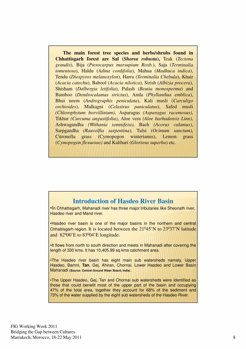
FIG Working Week 2011
Bridging the Gap between Cultures
Marrakech, Morocco, 18‐22 May 2011 8
The main forest tree species and herbs/shrubs found in
Chhattisgarh forest are Sal (Shorea robusta), Teak (Tectona
grandis), Bija (Pterocarpus marsupium Roxb.), Saja (Terminalia
tomentosa), Haldu (Adina cordifolia), Mahua (Madhuca indica),
Tendu (Diospyros melanoxylon), Harra (Terminalia Chebula), Khair
(Acacia catechu), Babool (Acacia nilotica), Sirish (Albizia procera),
Shisham (Dalbergia letifolia), Palash (Beutia monosperma) and
Bamboo (Dendrocalamus strictus), Amla (Phyllanthus emblica),
Bhui neem (Andrographis peniculata), Kali musli (Curculigo
orchioides), Malkagni (Celastrus paniculatus), Safed musli
(Chlorophytum borvillinium), Asparagus (Asparagus racemosus),
Tikhur (Curcuma angustifolia), Aloe vera (Aloe barbadensis Linn),
Ashwagandha (Withania somnifera), Bach (Acorus calamus),
Sarpgandha (Rauvolfia sarpentina), Tulsi (Ocimum sanctum),
Citronella grass (Cymopogon winterianus), Lemon grass
(Cymopogon flexuosus) and Kalihari (Gloriosa superba) etc.
Introduction of Hasdeo River Basin•In Chhattisgarh, Mahanadi river has three major tributaries like Sheonath river,
Hasdeo river and Mand river.
•Hasdeo river basin is one of the major basins in the northern and central
Chhattisgarh region. It is located between the 21045’N to 23037’N latitude
and 82000’E to 83004’E longitude.
•It flows from north to south direction and meets in Mahanadi after covering the
length of 330 kms. It has 10,405.99 sq kms catchment area.
•The Hasdeo river basin has eight main sub watersheds namely, Upper
Hasdeo, Bamni, Tan, Gej, Ahiran, Chornai, Lower Hasdeo and Lower Basin
Mahanadi (Source: Central Ground Water Board, India) .
•The Upper Hasdeo, Gej, Tan and Chornai sub watersheds were identified as
those that could benefit most of the upper part of the basin and occupying
47% of the total area, together they account for 68% of the sediment and
73% of the water supplied by the eight sub watersheds of the Hasdeo River.

FIG Working Week 2011
Bridging the Gap between Cultures
Marrakech, Morocco, 18‐22 May 2011 9
LOCATION MAP OF HASDEO RIVER BASIN
INDIA
Hasdeo river basin
Hasdeo RiverHasdeo RiverHasdeo RiverHasdeo River

FIG Working Week 2011
Bridging the Gap between Cultures
Marrakech, Morocco, 18‐22 May 2011 10
N
Origin place of Hasdeo River near Hadseo mountain
Origin of Hasdeo River near Hasdeo mountain in upper part of the basin :
Imagery of IRS-P6 LISS 3 date 29.10.2008
Introduction of Tan Sub Watershed
•Tan sub watershed is situated in western part of the Hasdeo basin in between
22034’ N to 22047’ N latitude and 82000’E to 82037’ E longitude.
•This sub watershed covers 870.44 sq km area.
•The total population of the area is 2.67 lacs (Census of India, 2001). The area
consists of hilly and mountainous terrain with minimum elevation of 423 m to
maximum elevation of 702 m in the sub watershed.
•The climate is generally sub–tropical characterized by summer and rainy
months. The whole area is depending upon the monsoon.
• The temperature varies from 24.70 C to 440 C in summer and 11.40 C to 26.40 C
in winter and the relative humidity recorded 25.5 to 93% in the area.
•The geological structure of the sub watershed is gondwana super rock which
covers most part of the sub watershed. The soil of the area is almost fine – loamy
and rest area has clays soil.
•Rich forest biodiversity in the area.

FIG Working Week 2011
Bridging the Gap between Cultures
Marrakech, Morocco, 18‐22 May 2011 11
Location map of Tan Sub watershed
in Hasdeo river basin
MATERIAL AND METHOD USED FOR FOREST LAND USE/ LAND
COVER STUDY IN TAN SUB WATERSHED
•Images obtained from IRS P6 LISS III dated 26.10.2008 path 102 rows 55/56 is
used.
Following hardware and software were used for image processing and GIS
analysis:
•Hardware:
During present study the image processing was carried out in a system with
Pentium Processor, 4GB RAM and 24 bits Graphics Windows acceleration Board
with resolution of 1024 x 768.
•Software:
�ArcGIS 9.3 (ESRI)
�ERDAS IMAGINE 9.5 (Leica) software for image processing
•MS Office XP: MS-Excel, Ms-Word for word processing
PRELIMINARY INTERPRETATION:
The study is primarily based on topographical sheets on scale 1:50,000/1:25,000
published by the Survey of India (SOI).

FIG Working Week 2011
Bridging the Gap between Cultures
Marrakech, Morocco, 18‐22 May 2011 12
Tan sub watershed image
IRS P6 LISS III image of Hasdeo river basin
Tan sub watershed catchment and its LULC pattern

FIG Working Week 2011
Bridging the Gap between Cultures
Marrakech, Morocco, 18‐22 May 2011 13
Forest Land
Cover Type
Area (in sq.
Kms.)
% area
Dense forest (DF) 308.808 35.48
Non Forest (NF) 218.357 25.09
Open Forest (OF) 186.406 21.42
Scrubland (SBL) 00.00 0.00
Water bodies
(WBD)
156.869 18.02
Total 870.44 100
Non Forest Land
Cover Type
Area
(in sq. Kms.)
%
area
Agriculture land
without Crop
164.738 75.44
Agriculture land with
Crop
53.619 24.56
Total 218.357 100
Non Forest land cover distribution in sub watershed
Forest vegetation land cover distribution in Tan sub watershed (IRS-P6 LISS III
Dated 26.10.2008)
Some snap shots of Tan sub watershed area

FIG Working Week 2011
Bridging the Gap between Cultures
Marrakech, Morocco, 18‐22 May 2011 14
FOREST LAND USE/LANDCOVER (LULC) IN HASDEO RIVER BASIN
Spatio-temporal variation in Forest land cover classes:
Forest
Land Use
/ Land
Cover
Class
1999(Landsat +ETM)
2006(Landsat ETM SLC off)
2007(Landsat ETM SLC off )
2008(IRS P6 LISS3)
2009(Landsat5 TM )
Area
(Sq.km.)
% Area
(Sq.km.)
% Area
(Sq.km.)
% Area
(Sq.km.)
% Area
(Sq.km.)
%
Dense
Forest
3105.57 29.85 2718.78 26.14 2688.19 25.83 2405.58 23.13 2323.65 22.33
Non
Forest
2970.32 28.55 3256.21 31.24 3344.37 32.13 3653.63 35.14 3865.72 37.14
Open
Forest
1322.61 12.71 1578.09 15.16 1595.36 15.33 1632.63 15.70 1690.00 16.26
Scrubland 12.81 0.12 22.58 0.21 23.00 0.22 24.50 0.23 25.05 0.24
Water
bodies
2994.68 28.78 2830.33 27.25 2755.05 26.47 2689.65 25.87 2501.57 24.05
Total
10405.99 100 10405.99 100 10405.99 100 10405.99 100 10405.99 100
TEMPORAL CHANGE DETECTION OF THE HASDEO RIVER BASIN
IN FOREST POINT OF VIEW
- DENSE FOREST - NON FOREST - OPEN FOREST - SCRUBLAND - WATERBODIES
1999 2006 2007 2008 2009

FIG Working Week 2011
Bridging the Gap between Cultures
Marrakech, Morocco, 18‐22 May 2011 15
1999-2006 2006-2007 2007-2008 2008-2009 2006-2009 1999-2009
Change Change Change Change Change Change
Forest land
Cover Class
Sq kms (%) Sq kms (%) Sq kms (%) Sq kms (%) Sq kms (%) Sq kms (%)
Dense Forest -386.79 -3.71 -30.59 -0.31 -282.61 -2.7 -81.93 -0.8 -395.13 -3.81 -781.92 -7.52
Non Forest +285.89 +2.69 +88.16 +0.89 +309.26 +3.01 +212.09 +2.0 +609.51 +5.9 +895.4 +8.59
Open Forest +255.48 +2.45 +17.27 +0.17 +37.27 +0.37 +57.37 +1.09 +111.91 +1.1 +367.39 +3.55
Scrubland +9.77 +0.09 +0.42 +0.01 +1.5 +0.01 +0.55 +0.01 +2.47 +0.03 +12.24 +0.12
Water bodies -164.35 -1.53 -75.26 -0.78 -65.42 -0.6 - 188.08 -1.84 -328.76 -3.22 -493.11 -4.73
Forest Land Cover Change Detection in Hasdeo river
basin between year 1999 to year 2009
NB: (+) indicates increasement, (-) indicates decreasement
CONCLUSION/SUGGESTION
� Remote Sensing Technique is a gift for forest to
find its status more accurately and think for the
conservation and protection of the available or to
increase the forest resources.
� GIS based method to estimate future forest land
cover in any watershed and helps to make a
management plan for the better livelihood
protection.
� Forest is a good source of water and due to
deforestation most of the rivers, waterholes are
dried or dry in summer in all over the world.

FIG Working Week 2011
Bridging the Gap between Cultures
Marrakech, Morocco, 18‐22 May 2011 16
THINK…………………………………
Is forest deforestation is the best idea for
modern development in the
world?????????????
ACKNOWLEDGEMENT
� Prof S S Singh, Chair, Department of Forestry,
Wildlife & Environmental Sciences, Guru
Ghasidas University, Bilaspur, CG, India
E-mail: [email protected]
� All the group members who working for this big
project in Central India.

FIG Working Week 2011
Bridging the Gap between Cultures
Marrakech, Morocco, 18‐22 May 2011 17
THANK YOU
� Contact:
Department of Forestry, Wildlife
& Environmental Sciences
Guru Ghasidas University, Bilaspur
Chhattisgarh, India
Ph: +91-7752-260078
Mob: +91-9407777351
e-mail: [email protected]
Web: www.ggu.ac.in