free and open source gis software successful case studies worldwide
TRANSCRIPT

Open Source GIS Case Studies
Dr. Mohamed GabrOpen Source GIS Consultant
OSGEO- Africa [email protected]
Topics
1. Open Source GIS adoption Worldwide2. Open Source GIS case studies

Open Source GIS Adoption Worldwide1

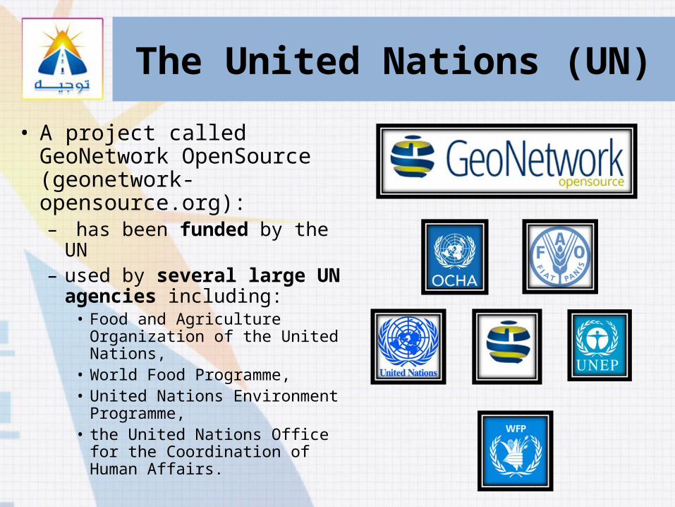
The United Nations (UN)
• In 2003, the global focusing on OSS has started in the World Summit on the Information Society (WSIS) by promoting awareness
• In 2004, ICT (information and communication technologies) strategy recognizing the need to “increase the usage of appropriate open source software”.
• In 2005, issuing a report about the policies of UN system organizations towards the use of OSS
The United Nations (UN)
• A project called GeoNetwork OpenSource (geonetwork-opensource.org):– has been funded by the UN– used by several large UN
agencies including:• Food and Agriculture
Organization of the United Nations,
• World Food Programme, • United Nations Environment
Programme, • the United Nations Office for the
Coordination of Human Affairs.

Dutch National Registry

Swiss Geographic Catalogue

Food and Agriculture Organization (FAO), UN
• A project called Mobile GIS System for Agricultural Monitoring:– has been funded by the FAO– used by all related
organizations to monitor:• Agriculture and• Food security
– The system is composed of many OSGIS enterprise components.
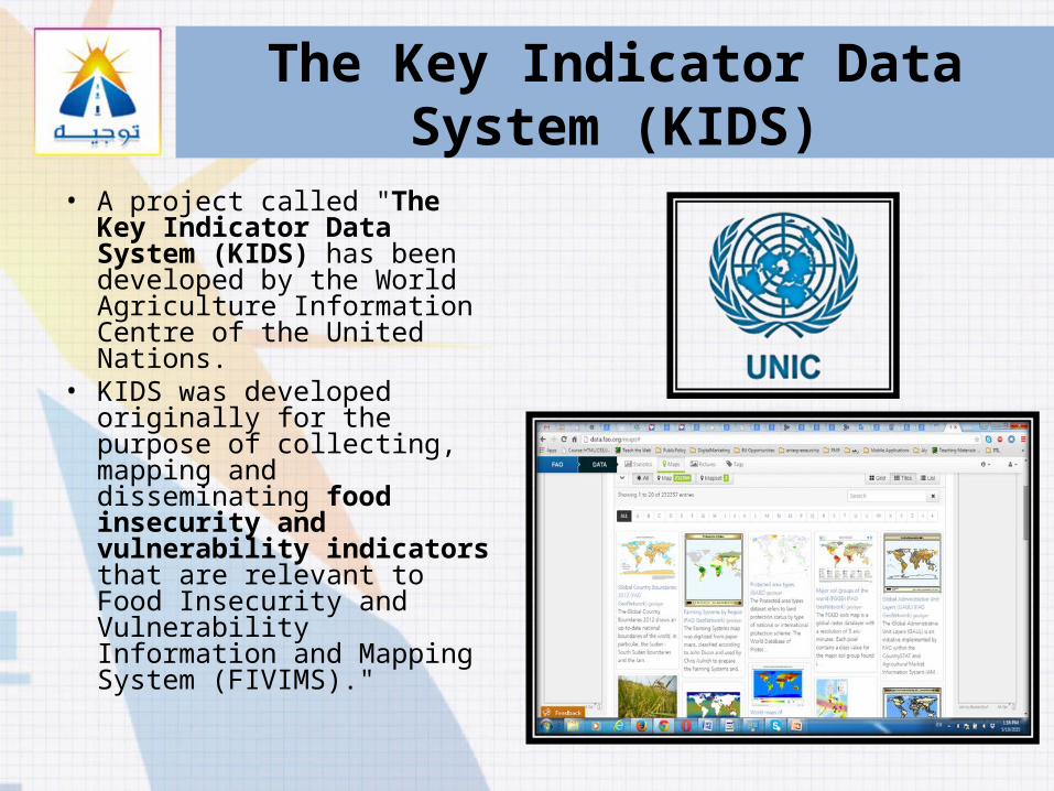
The Key Indicator Data System (KIDS)
• A project called "The Key Indicator Data System (KIDS) has been developed by the World Agriculture Information Centre of the United Nations.
• KIDS was developed originally for the purpose of collecting, mapping and disseminating food insecurity and vulnerability indicators that are relevant to Food Insecurity and Vulnerability Information and Mapping System (FIVIMS)."
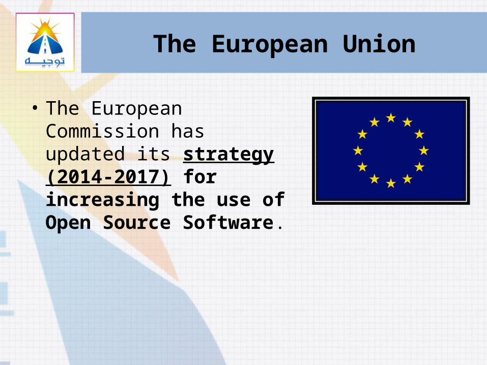
The European Union
• The European Commission has updated its strategy (2014-2017) for increasing the use of Open Source Software.
Open Source GIS Case Studies2

Infrastructure
• Union Sanitary District Plant GIS– USA– Technologies : Desktop GIS SW,
Internet mapping SW, Spatial Data Base Management System, GIS web browser
• Accessibility to British Columbia Forests– Canada– Technologies : Desktop GIS SW

Health
• The health map of Mauritania– Mauritania– Technologies : Desktop GIS SW

Energy
• Estimating the Renewable Energy Potential in Africa– Sweden (Applied on Africa)– Technologies : Desktop GIS SW


Environment -1• GIS Web Application to Identify and
Manage Critical Geological Hazard Data– USA– Technologies : Desktop GIS SW, Internet
mapping SW, Spatial Data Base Management System, GIS web browser
• MarineMap web application for identifying marine life protection areas– USA– Technologies : Desktop GIS SW, Internet
mapping SW, Spatial Data Base Management System, GIS web browser

Environment -2• Evaluation of soil loss in
forests– Spain– Technologies : Desktop GIS SW
• Development of a Geographic Information System (GIS) to monitor a watershed– Brazil– Technologies : Desktop GIS SW

Environment -3• GIS applications in forests
and urban environment in East Africa– Kenya– Technologies : Desktop GIS SW
• GIS open source framework for an interactive surface and groundwater modelling– Italy– Technologies : Desktop GIS SW

Environment -4
• Geographic Information Systems applied as processes Educational Technologies and Teacher Training Update for the Conservation of Nature– Uruguay– Technologies : Desktop GIS SW,
Internet mapping SW, Spatial Data Base Management System, GIS web browser, Mobile GIS

Transportation• California Department of
Transportation (Caltrans): LD-IGR - Geo-based Project Tracking System– USA– Technologies : Desktop GIS SW,
Internet mapping SW, Spatial Data Base Management System, GIS web browser

Defense and Emergencies• Maps of Coexistence of the
Local Police service– Spain– Technologies : Desktop GIS SW
• Using GIS in the study of road crashes– Argentina– Technologies : Desktop GIS SW
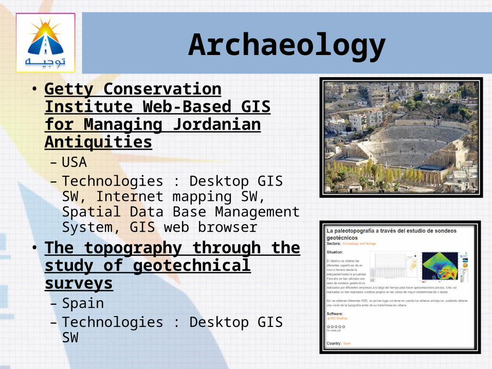
Archaeology• Getty Conservation Institute
Web-Based GIS for Managing Jordanian Antiquities– USA– Technologies : Desktop GIS SW,
Internet mapping SW, Spatial Data Base Management System, GIS web browser
• The topography through the study of geotechnical surveys– Spain– Technologies : Desktop GIS SW

Business Services• A natural language search
engine for rental places– Greece– Technologies : Desktop GIS SW,
Internet mapping SW, Spatial Data Base Management System, GIS web browser
• Analysis of the value chain for leather products in San Lorenzo street market– Italy– Technologies : Desktop GIS SW

Public Administration and National Registers-1
• Interpolation evaluation model of insulation and pollution in the region of O'Higgins– Chile– Technologies : Desktop GIS SW
• The Dutch National Register– The Netherlands– Technologies : Desktop GIS SW,
Internet mapping SW, Spatial Data Base Management System, GIS web browser

Public Administration and National Registers-2
• The Swiss Geographic Catalogue– Switzerland– Technologies : Desktop GIS
SW, Internet mapping SW, Spatial Data Base Management System, GIS web browser

Current research projects3

National Spatial Database Infrastructure (NSDI) – Clearing House

Crowd sourcing and Open Data GIS

Crowd sourcing GIS
Water Quality
Solid Waste Management
Water resource violation
Environmental violation
Any KPI

Crowd Sourcing GISCitizens &
NGOs
Decision maker
GIS DBEgypt
GIZWorldwide DB
Service providers & supervisors

Thank You