fruita rv resort-finaldrainagereport · 2016-11-22 · fruita rv resort property will effectively...
TRANSCRIPT
CONSTRUCTION MANAGEMENT * PROJECT ENGINEERS * CIVIL & CONSULTING ENGINEERS * ENVIRONMENTAL SCIENTISTS
2394 Patterson Rd, Suite 201 Grand Junction, CO 81505 (970) 245-9051 (970) 245-7639 fax www.vortexeng.us
Preliminary Drainage Report
For Fruita RV Resort Fruita, Colorado
Date: November 21, 2016 Prepared by: Vortex Engineering, Inc. 2394 Patterson Road, Suite 201 Grand Junction, CO 81505 970-245-9051 VEI# F13-023 Submitted to: City of Fruita 250 N. 5th Street Grand Junction, CO 81501 Type of Design: Conditional Use Permit Owners: 1235 Greenway Dr., LLC
Attn: Janice Burtis 120 W Park Drive #200 Grand Junction, CO 81505
Property Address: 1235 Greenway Drive
Fruita, CO 81521
Tax Schedule No.: 2697-181-18-012

Drainage Report Page 3 of 9 Fruita RV Resort
Table of Contents
1.0 Introduction ..................................................................................................................... 4
A. Background .................................................................................................................. 4 B. Project Location .......................................................................................................... 4 C. Property Description ................................................................................................... 4
2.0 Drainage System Description ........................................................................................ 4 A. Existing conditions Hydrology analysis .................................................................... 4 B. Hydrologic Criteria ...................................................................................................... 5
3.0 Conclusions .................................................................................................................... 5 A. Compliance with Manual ............................................................................................. 5
4.0 References ...................................................................................................................... 6 Appendix A ................................................................................................................................ 7 Appendix B ................................................................................................................................ 8 Appendix C ................................................................................................................................ 9

Drainage Report Page 4 of 9 Fruita RV Resort
1.0 Introduction
A. Background
This Preliminary Drainage Report has been prepared by Vortex Engineering, Inc., and is required as part of the Fruita RV Resort submittal. The property being studied is part of the previously approved drainage study for the Fruita Industrial Park Subdivision. This Final Drainage report has been created in accordance with Mesa County/City of Fruita Stormwater Management Manual.
B. Project Location
The Fruita RV Resort is approximately 15.493-acres located in the political boundary of The City of Fruita, Colorado. It is located south of Greenway Drive and north of I-70. The site is adjacent to Little Salt Wash to the east, and is surrounded by existing light industrial properties. A draiange map is provided in Appendix A for reference.
C. Property Description
The site slopes from the northeast to the south and southwest at grades varying between 0.7%. and 1.3%. The site is currently undeveloped and vegetated with native grass. With the development of the project site, it is planned for irrigation from Little Salt Wash to irrigate the property.
The Natural Resources Conservation Service (NRCS) classifies the soils within the RV Resort site predominantly of Sagers silty clay loam (Bc), 0 to 2 percent slopes; Fruitland sandy clay loam (Rc), 0 to 2 percent slopes; and Oxyaquic Torrfluvents (Rs), 0 to 2 percent slopes. The hydrologic class of these soil group Type B.
The NRCS reports that this soil has a low infiltration rate that indicates a moderate surface runoff rate. This soil composition has a slight potential for erosion.
2.0 Drainage System Description
A. Existing conditions Hydrology analysis
Currently, runoff drains via overland flows and shallow concentrated flows in the south and southwest direction to the discharge points described above.
We understand that there is LOMR being prepared to fulfill the conditions from the 2009 CLOMR for CITY OF FRUITA, and as suggested we are willing to supply the LOMR consultants with the grading plan, for it to be implemented in the LOMR.

Drainage Report Page 5 of 9 Fruita RV Resort
For this drainage plan the following facilities are proposed; storm sewer, drainage ditches and v-pans and the detention pond. The detention pond is designed to provide water quality volume and 10 year detention volume. For the 100 year detention volume the developer is proposing to pay a reduced “fee in lieu of detention”, based on a ratio of volume provided to volume required, as presented in the attachments. The runoff from the Greenway Drive is treated as by-pass in this report.
B. Hydrologic Criteria
The hydrologic and hydraulic analysis proposed is to use procedures per the Mesa County Stormwater Management Manual (SWMM) guidelines, dated December 2007.
A Computer Aided Design program (HydroCAD) was used for modeling the hydrology and hydraulics of stormwater runoff. HydroCAD is based largely on hydrology techniques developed by the Soil Conservation Service (now the Natural Resources Conservation Service), combined with other hydrology and hydraulic calculations. The storm selected for analysis is the Mesa County 3 hour storm recommended by the SWMM.
3.0 Conclusions
This report discusses the information requirements for a Preliminary Drainage Report and Plan as defined by the SWMM, Section 300. The proposed development of the Fruita RV Resort property will effectively convey runoff from the site per the SWMM best recommendations and discharge to Little Salt Wash.
The proposed drainage facilities are designed to accept the WQCV and 10 year runoff and continue the conveyance to the ultimate discharge in the Colorado River. Erosion control BMP's will be implemented during construction in an effort to prevent adverse impacts on downstream properties and drainage facilities. The proposed development will not adversely affect the surrounding properties or existing storm drainage systems.
A. Compliance with Manual
This report discusses the information requirements for a Final Drainage Report and Plan per the Mesa County/City of Grand Junction Stormwater Management Manual. The proposed drainage facilities are designed to collect and detain the WQCV and 10-year event runoff rates from the site along with offsite contributory flows and release at/or below the allowed rates. The proposed development will not adversely affect the surrounding properties or existing drainage systems. No variances from the Stormwater Management Manual criteria are requested.
Drainage Report Page 6 of 9 Fruita RV Resort
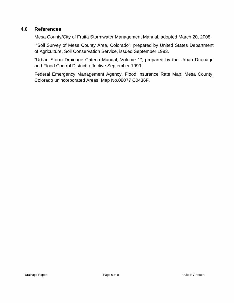
4.0 References
Mesa County/City of Fruita Stormwater Management Manual, adopted March 20, 2008.
“Soil Survey of Mesa County Area, Colorado”, prepared by United States Department of Agriculture, Soil Conservation Service, issued September 1993.
“Urban Storm Drainage Criteria Manual, Volume 1”, prepared by the Urban Drainage and Flood Control District, effective September 1999.
Federal Emergency Management Agency, Flood Insurance Rate Map, Mesa County, Colorado unincorporated Areas, Map No.08077 C0436F.

Drainage Report Page 7 of 9 Fruita RV Resort
Appendix A
Runoff Calculations

Fruita RV Park Vortex Engineering, Inc.Area Impreviousness August 30, 2016Proposed Conditions
South Basin
TOTAL AREA
(ft2)BASIN AREA
(ac)
PERV.
AREA (ft2)PERV.
AREA (ac)
Pavement
AREA (ft2)Pavement AREA (ac)
Pavement Impreviousness
(%)Grave Drive
Area (sf)Gravel Drive
Area (ac)
Gravel Impreviousness
(%)
Weighted Impreviousness
(%)South 644,176 14.79 379,093 8.70 103,407 2.37 100% 161,676 3.71 40% 27.3%
North 331,644 7.61 331,644 331,644 7.61 40% 40.0%
Total On-Site Area = 22.40 16.32 2.37
Overall development Impreviousness: 31.6%

Fruita RV Park Vortex Engineering, Inc.Drainage Area C calculations - 2yr and 100yr Events November 21, 2016
BASIN
TOTAL AREA
(ft2) BASIN AREA (ac)
LOT/PERV.
AREA (ft2)LOT AREA
C2 year
LOT AREA C
100-year
STREET IMP.
AREA (ft2)IMPREVIOUS
AREA (ac)
STREET AREA C2 year
STREET AREA C100 year
2 yr WEIGHTED C
VALUE
100 yr WEIGHTED C
VALUE
100 176,837 4.06 176,837 0.29 0.40 0 0.00 0.89 0.96 0.29 0.40
101 97,113 2.23 87,807 0.29 0.40 9,306 0.21 0.89 0.96 0.35 0.45
102 35,996 0.83 23,038 0.29 0.40 12,958 0.30 0.89 0.96 0.51 0.60
103 93,513 2.15 84,273 0.29 0.40 9,240 0.21 0.89 0.96 0.35 0.46
104 25,697 0.59 16,457 0.29 0.40 9,240 0.21 0.89 0.96 0.51 0.60
105 73,446 1.69 62,666 0.29 0.40 10,780 0.25 0.89 0.96 0.38 0.48
106 29,623 0.68 18,843 0.29 0.40 10,780 0.25 0.89 0.96 0.51 0.60
107 42,081 0.97 17,199 0.29 0.40 24,882 0.57 0.89 0.96 0.64 0.73
108 308,724 7.09 294,050 0.29 0.40 14,674 0.34 0.89 0.96 0.32 0.43
109 53,044 1.22 38,370 0.29 0.40 14,674 0.34 0.89 0.96 0.46 0.55
OS 99,043 2.27 84,369 0.29 0.40 14,674 0.34 0.89 0.96 0.38 0.48
Total On-Site Area = 23.76 20.75 3.01

Fruita RV Park Vortex Engineering, Inc.Pond volume Calculations October 31, 2016
Detention Pond CalculationsStage Change Cumulative Cumulative
Elevation Area Volume in Elevation Volume Volume
[ft.] [ft²] [cf] [ft] [cf] [acre-ft]
4472.80 0 0.00 0.0 0.0 0.0004473.00 510 34.00 0.2 34.0 0.0014474.00 1736 1062.31 1.0 1096.3 0.0254475.00 2800 2246.91 1.0 3343.2 0.0774476.00 4032 3397.33 1.0 6740.6 0.1554477.00 5240 4622.83 1.0 11363.4 0.2614478.00 6544 5879.94 1.0 17243.3 0.3964479.00 7945 7233.18 1.0 24476.5 0.562
WQCV=K(a(0.91*I3-1.19*I2+0.78*I))Where:
K = adjustment to equation for Mesa County = d6/0.43)= 0.65
a = Adjustment for BMP's drain Time (for 40hrs a=1.0)= 1.00I = watershed Imperviousness in decimal = 0.32d6 = Depth of average producing storm d6= 0.28
Watershed area = 22.40
WQCV= 0.102 inReq'd storage WQCV = 8279 cf 4,476.33*
Req'd 10 yr Volume: Where:Req d 10 yr Volume: Where:
K10=(0.95P-1.90)(X10/1000) 0.0073 P = Developed Basin Impreviousness (%)
V10=K10A 0.164 ac-ft X = Mesa Co. adjustment factor X10=0.26, X100=0.42
V10= 7157 cf for impreviousness <50% (SWMM Table 1401)
A = Tributary Area (ac)
V = Volume (ac-ft)
Req'd 100 yr Volume:K100=(1.78P-0.002P2-3.56)(X100/900) 0.0237
V100=K100A 0.530 ac-ft
V100= 23080 cf
WSEL (ft)10 yr Runoff + WQCV = 15437 cf 4,477.69*
100 yr Runoff = 23080 cf na
* Water surface elevation thru linear interpolation
Allowable Pond Discharge:Hydrologic Soil Group B (SWMM Table 1402)
10 yr = 2.02 cfs100 yr = 9.63 cfs


Drainage Report Page 8 of 9 Fruita RV Resort
Appendix B
FEMA FIRM Maps


Drainage Report Page 9 of 9 Fruita RV Resort
Appendix C
Drainage Map
