fundamentals of remote sensing - world bank
TRANSCRIPT

Fundamentals of Remote Sensing
National Aeronautics and Space Administration 16Applied Remote Sensing Training Program
Agenda
• Light and Water• Fundamentals of Remote Sensing
– Spatial, Temporal, Spectral Resolution– NASA Satellites and Sensors for Aquatic
Applications– Image “Correction” – Satellite Data Processing Levels
• Aquatic Remote Sensing Data Products and Their Uses
• Accessing NASA Satellite Imagery• NASA Satellite Data Processing Tools
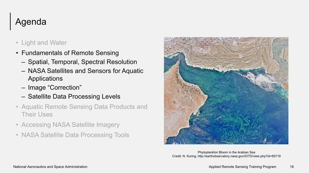
Phytoplankton Bloom in the Arabian SeaCredit: N. Kuring, http://earthobservatory.nasa.gov/IOTD/view.php?id=85718

National Aeronautics and Space Administration 17Applied Remote Sensing Training Program
Satellite (Sensor) Spatial Resolution Temporal Resolution Spectral BandsLandsat 8 (OLI) 15 m, 30 m 16 day revisit 9 bands (blue-green,
green, red, near IR, shortwave and thermal IR)
Terra, Aqua (MODIS) 250 m – 1 km 2 times per day 36 bands (red, blue, IR, NIR, MIR)
Types of Resolution
Spatial Resolution• Decided by its pixel size• Pixel: smallest unit
measured by a sensor
*Credit: Natural Resources Canada
Spectral Resolution• Ability of a sensor to define fine
wavelength intervals• Finer spectral channels enable
remote sensing of different parts of the atmosphere
Temporal Resolution• How frequently a satellite
observes the same area of the Earth

National Aeronautics and Space Administration 18Applied Remote Sensing Training Program
How Do We Observe From Space?
• Satellites carry instruments and sensors to measure:– reflected solar radiation– emitted infrared and microwave radiation
Overview of Active & Passive Remote Sensing

National Aeronautics and Space Administration 19Applied Remote Sensing Training Program
Data Collection by Satellites
Atmosphere• Clouds• Aerosols• GasesEarth’s Surface• Snow/Ice• Land (land use, vegetation)• Water

National Aeronautics and Space Administration 20Applied Remote Sensing Training Program
Remote Sensing of Water Bodies
Reflected Solar Radiation (~color of water)• Measured by satellite sensors• Used to derive the properties of optically-
active water constituents
• Suspended Sediments• Algae• Colored Dissolved Organic Matter• Detrital Organic Matter• Submerged or floating vegetation• Oil
Coccolithophore Bloom, Norway
• Contaminants• Pathogens

National Aeronautics and Space Administration 21Applied Remote Sensing Training Program
Remote Sensing of Water Bodies
Emitted Thermal Radiation• Used to derive the surface temperature of
water bodies
MARACOOS, ORB Lab, courtesy M. Oliver
8-day average SST