geography year 9 skills - maps
TRANSCRIPT


• Definition of Map• Types of Map• Latitude and Longitude• Main feature of a Map

What is a Map?
• A Map is a birds eye view of the surrounding area to help guide us from one place to another.
• A traveller needs a map to help them find their way around more easily.

Types of Map
• Political Map• Physical Map• Weather Map• Aerial Map• Resources Map• Road Map• Climatic map• Topographic Map

Political Map
Political maps are designed to show governmental boundaries of countries, states, and counties, the location of major cities, and they usually include significant bodies of water.

Physical Map
Physical maps often include much of the same data found on a political map, but their primary purpose is to show landforms like deserts, mountains and plains. Their topography style (or relief) presents an overall better picture of the local terrain.

Climatic Map
Climatic maps give general information about the climate and precipitation (rain and snow) of a region. Cartographers, or mapmakers, use colours to show different climate or precipitation zones.

Road Map
Road maps show major highways and roads, airports, railroad tracks, cities and other points of interest in an area. People use road maps to plan trips and for driving directions.

Weather Map
A map showing the weather patterns throughout a given region.

Resources Map
They feature the type of natural resources or economic activity that dominates an area. Cartographers use symbols to show the locations of natural resources or economic activities.

Topographic Map
They include contour lines to show the shape and elevation of an area. Lines that are close together indicate steep terrain, and lines that are far apart indicate flat terrain.

Aerial Map
Aerial maps feature photographs of the ground from an elevated position. Usually the camera is not supported by a ground-based structure. Platforms for aerial photography include fixed-wing aircraft, helicopters, balloons, rockets.

Latitude and Longitude
• The earth is divided into lots of lines called latitude and longitude

Latitude
• The lines that run from left to right, or west to east, are called lines of latitude. The equator is in the exact middle of the latitude lines. These lines are always the same distance apart, and never cross. Lines of latitude are also called parallels, as they are "parallel" to the equator.
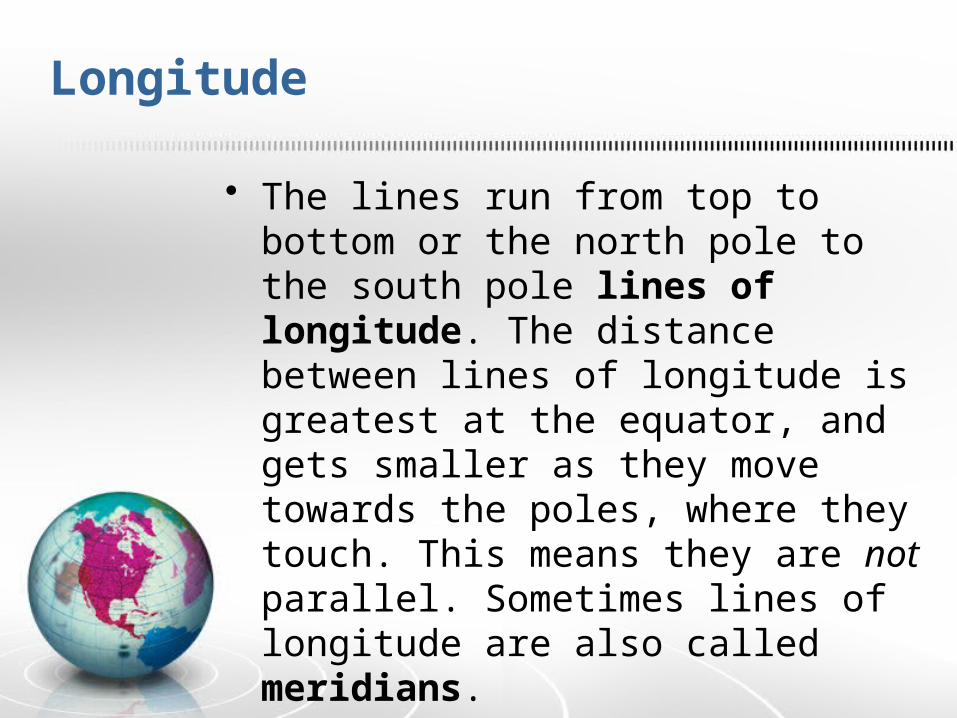
Longitude
• The lines run from top to bottom or the north pole to the south pole lines of longitude. The distance between lines of longitude is greatest at the equator, and gets smaller as they move towards the poles, where they touch. This means they are not parallel. Sometimes lines of longitude are also called meridians.
• The Prime Meridian separates the Eastern Hemisphere from the Western Hemisphere.

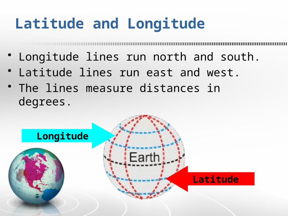
• Longitude lines run north and south.• Latitude lines run east and west. • The lines measure distances in degrees.
Latitude
Longitude
Latitude and Longitude

Main Features of the Map
• Equator: an imaginary line that goes all the way around the earth, dividing it into two equal halves, a northern half and a southern half
• Northern Hemisphere: the half of the earth that is north of the equator
• Southern Hemisphere: the half of the earth that is south of the equator
• Prime Meridian: an imaginary line that goes all the way around the earth, dividing it into two equal halves, an eastern half and a western half
• Eastern Hemisphere: the half of the earth that is east of the Prime Meridian
• Western Hemisphere: the half of the earth that is west of the Prime Meridian

Main Features of the Map
• North Pole: the point on the earth which is furthest north
• South Pole: the point on the earth which is furthest south
• Lines of latitude: imaginary parallel lines, that run east and west around the earth, also called parallels
• Parallels: another name for lines of latitude
• Lines of longitude: imaginary lines that run north and south around the earth, they are not parallel, and are also called meridians
• Meridians: another name for lines of longitude