geologic influences on ecological sites along mountain fronts a case study in cochise county, az...
TRANSCRIPT

Geologic Influences on Ecological Geologic Influences on Ecological Sites Along Mountain FrontsSites Along Mountain Fronts
A Case Study in Cochise County, AZA Case Study in Cochise County, AZ
Elizabeth Desser, Geosciences Undergraduate – University of ArizonaElizabeth Desser, Geosciences Undergraduate – University of ArizonaMentor: Philip Heilman, USDA/ARS - Southwest Watershed Research CenterMentor: Philip Heilman, USDA/ARS - Southwest Watershed Research Center
Photo by Philip Heilman, USDA-ARS
Topics to coverTopics to cover
Project objectivesProject objectives Project backgroundProject background Research methodsResearch methods Results & InterpretationsResults & Interpretations ConclusionsConclusions

Project ObjectivesProject Objectives Need: Reduce time of NRCS Range Need: Reduce time of NRCS Range
Conservationists to map ecological sites in Conservationists to map ecological sites in the field. the field.
Map ecological sites by relating soil map Map ecological sites by relating soil map
units and ecological sites to underlying units and ecological sites to underlying geology and reduce mapping error. geology and reduce mapping error.
Use results to assess feasibility for Use results to assess feasibility for statewide mapping improvements.statewide mapping improvements.
www.saguaro-juniper.com/i_and_i/san_pedro/ecoregions/01-05az_uplands_logo.jpg

Project backgroundProject backgroundSoil
The unconsolidated mineral or organic material on the immediate surface of the earth that serves as a natural medium for the growth of land plants. (NRCS)
Soil Formation Equation: S = f (P,C,R,B,T)(Hans Jenny, 1941)
S = soilP = parent material (geology)C = climateR = relief (topography)B = biotaT = time
http://soils.usda.gov/technical/classification/orders/images/aridisol.jpg

USDA Soil Survey for Cochise County - Douglas Tombstone Part (AZ671)
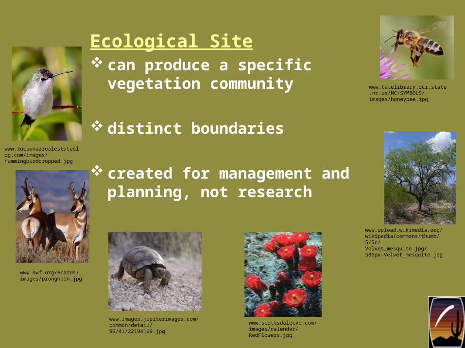
Ecological Site can produce a specific
vegetation community
distinct boundaries
created for management and planning, not research
www.tatelibrary.dcr.state.nc.us/NC/SYMBOLS/images/honeybee.jpg
www.upload.wikimedia.org/wikipedia/commons/thumb/5/5c/Velvet_mesquite.jpg/586px-Velvet_mesquite.jpg
www.scottsdalecvb.com/images/calendar/RedFlowers.jpg
www.images.jupiterimages.com/common/detail/99/41/22194199.jpg
www.nwf.org/ecards/images/pronghorn.jpg
www.tucsonazrealestateblog.com/images/hummingbirdcropped.jpg
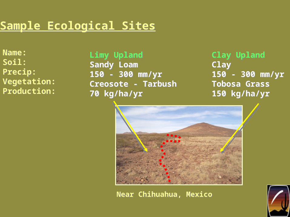
Limy UplandSandy Loam150 - 300 mm/yrCreosote - Tarbush70 kg/ha/yr
Limy UplandSandy Loam150 - 300 mm/yrCreosote - Tarbush70 kg/ha/yr
Clay UplandClay150 - 300 mm/yrTobosa Grass150 kg/ha/yr
Clay UplandClay150 - 300 mm/yrTobosa Grass150 kg/ha/yr
Sample Ecological SitesSample Ecological Sites
Name:Soil:Precip:Vegetation:Production:
Name:Soil:Precip:Vegetation:Production:
Near Chihuahua, MexicoNear Chihuahua, Mexico

Clay loam uplandElgin: 50%12-16 in/yr precipitation
Clay loam uplandElgin: 50%12-16 in/yr precipitation
Inclusions10%Inclusions10%
Limy slopesStronghold: 40%12-16 in/yr precipitation
Limy slopesStronghold: 40%12-16 in/yr precipitation
MAPPING ERROR:50% (due to secondary soil and inclusions)
OVERALL MAPPING ERROR FOR AZ 671: ~ 33%
MAPPING ERROR:50% (due to secondary soil and inclusions)
OVERALL MAPPING ERROR FOR AZ 671: ~ 33%
^Tombstone, AZ
Selected Map Unit: Elgin-Stronghold Complex

Elgin-Stronghold Complex
Granitoid Rock
Sedimentary Rock
Geologic I nfluences

Sedimentary Rock
Elgin-Stronghold Complex
Granitoid Rock
ConclusionsConclusions There is a need to improve Arizona-wide
mapping and grouping of ecological sites and relating SSURGO map units may help in this regard.
For certain areas, the underlying geology may be useful in sorting out soils in given GIS polygons.
Continued research into Cochise County may set an example for the rest of Arizona.

Acknowledgements
NASA Space Grant
Anthony Pitucco, Pima Community College
Philip Heilman, USDA-ARS, SWRC
Chandra Holifield Collins, USDA-ARS, SWRC
Jesse Wood, NRCS
Emilio Carrillo, NRCS
Phil Pearthree, AZ Geological Survey
Donald Pool, USGS
Jared Buono, USDA-ARS, SWRC
Tobias Finke, USDA-ARS, SWRC
http://www.anotherthink.com/my_graphics/poppies_closeup.jpg
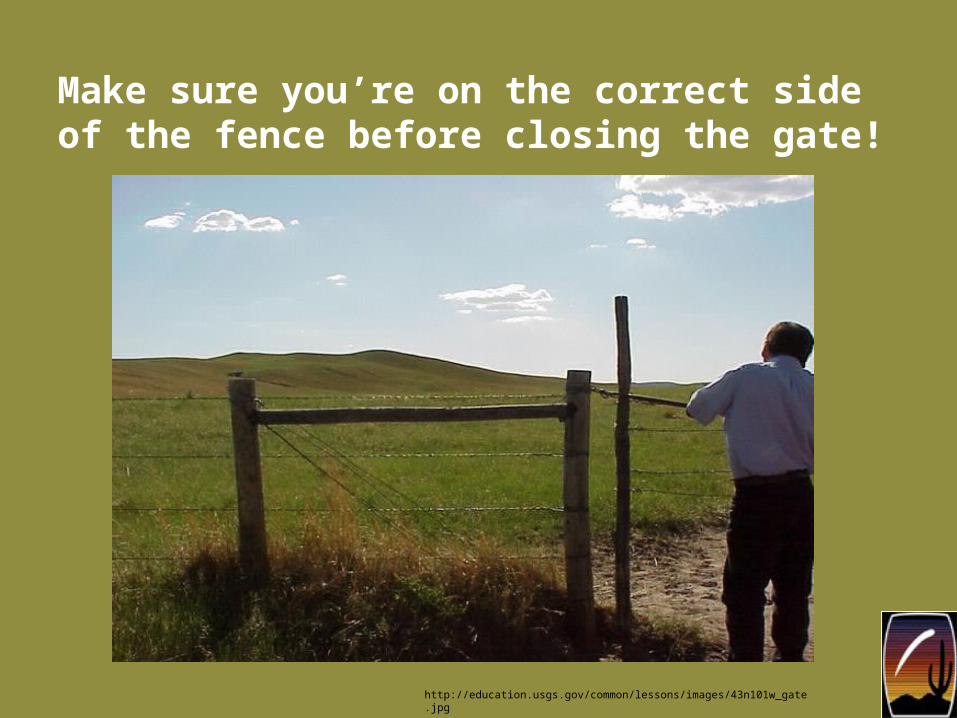
Make sure you’re on the correct side of the fence before closing the gate!
http://education.usgs.gov/common/lessons/images/43n101w_gate.jpg

Questions?
Photo by Philip Heilman, USDA-ARS

Photo by Philip Heilman, USDA-ARS
Thank you!