geospatial and geotemporal informatics for dynamic and complex systems may yuan
TRANSCRIPT

GeoSpatial and GeoTemporal Informaticsfor dynamic and complex systems
May Yuan


What is solved
• Integration of spatial and temporal data– Location and snapshot– Dimensional, typological, and typological issues
• Empirical and computational solutions– Spatiotemporal statistics / time geography– Spatial data mining– Machine learning and artificial intelligence– Cellular automata– Agent-based modeling– Evolutionary algorithms

What is almost solved?
• Refined observation networks and data assimilation– Smart sensor networks– Adaptive sensor networks– Data-model assimilation
• Refined statistical and modeling approach to account for geographic dynamics and complexity– Data stream mining– Intelligent agents– Geographically aware agents– Adaptive agents

What has failed? Include surprised failures
• Fail is a strong word. Perhaps, appears limited• Space-time composite model• Intelligent highways• Integration of sensor networks across scales (local,
regional, and global) to automatically relate phenomena and processes across scales
• Communication among heterogeneous networks– Climate– Ecology– hydrology

What is missing (discuss areas not currently on the radar)
• From space-time observations to spatiotemporal processes• Informatics framework to automate recognition of events and
processes • Analysis of events and processes
– Weather (obs > events > systems > severity)– Population (obs > migration > gentrification)
state
process
spatiotemporal data
event
measured bysensors
trigger
drive
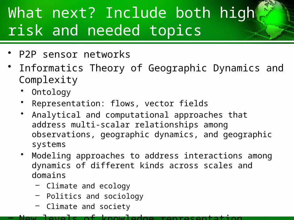
What next? Include both high risk and needed topics
• P2P sensor networks• Informatics Theory of Geographic Dynamics and Complexity
• Ontology• Representation: flows, vector fields• Analytical and computational approaches that address multi-scalar
relationships among observations, geographic dynamics, and geographic systems
• Modeling approaches to address interactions among dynamics of different kinds across scales and domains– Climate and ecology– Politics and sociology– Climate and society
– New levels of knowledge representation– Aggregates, agglomerates, and narratives

• By telling and listening to stories, we communicate, learn, and make sense of the world by ordering events and assimilating them to find meanings and implications (Mateas and Sengers 2003).
• Narrative GIS that can tell stories• Visual means to tell stories
Narratives and sensing making