geospatial software solutions for the environment and ... detection analyses to determine the extent...
TRANSCRIPT

Geospatial software solutions for the environment and natural resources
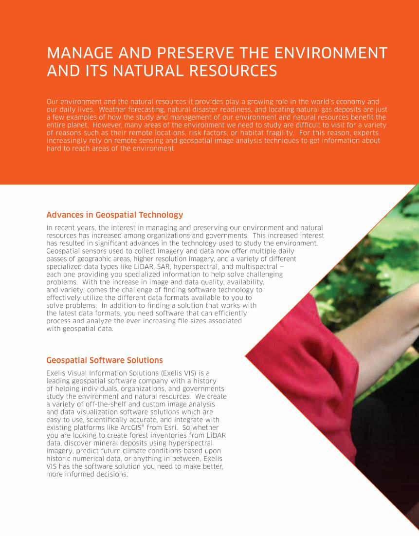
Our environment and the natural resources it provides play a growing role in the world’s economy and our daily lives. Weather forecasting, natural disaster readiness, and locating natural gas deposits are just a few examples of how the study and management of our environment and natural resources benefit the entire planet. However, many areas of the environment we need to study are difficult to visit for a variety of reasons such as their remote locations, risk factors, or habitat fragility. For this reason, experts increasingly rely on remote sensing and geospatial image analysis techniques to get information about hard to reach areas of the environment.
manaGe and preserve the environment and its natural resources
Advances in Geospatial Technology
In recent years, the interest in managing and preserving our environment and natural resources has increased among organizations and governments. This increased interest has resulted in significant advances in the technology used to study the environment. Geospatial sensors used to collect imagery and data now offer multiple daily passes of geographic areas, higher resolution imagery, and a variety of different specialized data types like LiDAR, SAR, hyperspectral, and multispectral — each one providing you specialized information to help solve challenging problems. With the increase in image and data quality, availability, and variety, comes the challenge of finding software technology to effectively utilize the different data formats available to you to solve problems. In addition to finding a solution that works with the latest data formats, you need software that can efficiently process and analyze the ever increasing file sizes associated with geospatial data.
Geospatial Software Solutions
Exelis Visual Information Solutions (Exelis VIS) is a leading geospatial software company with a history of helping individuals, organizations, and governments study the environment and natural resources. We create a variety of off-the-shelf and custom image analysis and data visualization software solutions which are easy to use, scientifically accurate, and integrate with existing platforms like ArcGIS® from Esri. So whether you are looking to create forest inventories from LiDAR data, discover mineral deposits using hyperspectral imagery, predict future climate conditions based upon historic numerical data, or anything in between, Exelis VIS has the software solution you need to make better, more informed decisions.

our image analysis software solution, envi, is tightly integrated with the arcGis® platform from esri. now it’s easy to incorporate advanced image analysis techniques and results with your Gis and mapping applications.

many exelis vis solutions provide wizard-like workflows, allowing users of any experience level to get scientifically accurate results — quickly and easily.

manaGe natural resources for responsible use and sustainability
Today, it’s more important than ever for industries such as oil and gas, forestry, fishing, renewable energy, and agriculture to understand how to effectively utilize and preserve natural resources — this ensures the products, food, and energy we use every day are available to us now and in the future. To effectively do this, it is essential to understand the existing state of natural resources and how they have changed or will change. When you study natural resources, you may use time series data, wide area imagery, LiDAR data, and more to help get the answers you need to help support sustainability. With such a wide variety of data and imagery available, you need software tools that are easy to use, scientifically accurate, and compatible with the data types you have available to you.
Geospatial Software Solutions for Natural Resource Management
Exelis VIS provides a suite of geospatial software solutions to manage water, evaluate biodiversity, conduct land use studies, and much more. When you have the right software tools, you can make better decisions on how to use and manage natural resources. And, many Exelis VIS software solutions are automated, allowing users of all levels to get scientifically accurate results — quickly and easily.
Classify land cover to help:Delineate, map, and inventory forest stands.
Use change detection methods to:Determine forestry or agricultural trends and monitor changes to the landscape resulting from events such as wildfires, flooding, deforestation, or the spread of invasive species.
Create Digital Elevation Models (DEMs) so you can:Guide silvicultural decisions by determining elevation, slope, aspect, contour, tree height, and tree crown diameter. Analyze LiDAR Data to:Monitor mineral extraction volumes from excavation sites, create forest inventories, and perform right-of-way analyses.

forecast and prepare for natural disasters
Integration with ArcGIS® from Esri enables you to:Incorporate advanced geospatial analysis techniques and image analysis results with your current datasets or map templates.
Use LiDAR data to create:3D models of damaged buildings, roads, trees, and other features.
Naturally occurring disasters such as hurricanes, forest fires, earthquakes, and volcanic eruptions have the potential to strike at any time. It’s this uncertainty that makes the science behind predicting these events, as well as preparing for them, so important. Scientific disciplines such as geomorphology, structural geology, meteorology, and forestry rely on geospatial image analysis techniques to predict when and where a disaster will occur, as well as to create maps to be used during disaster response efforts. Common geospatial analyses include vegetation mapping to understand fire fuel loads, interferometry to produce maps of high risk areas, and creating models to study different disaster scenarios.
Geospatial Software Solutions for Natural Disaster Preparedness and Response
Exelis VIS has the tools you need to prepare for disaster response and to study the conditions that suggest the likelihood of earthquakes, mudslides, volcanic eruptions, and other natural events to occur. Our software tools have a variety of applications, from using numerical data to create atmospheric circulation models to preparing evacuation maps and performing a change detection analysis to determine the extent of damage caused by flooding. Regardless of the problem you are trying to solve, Exelis VIS software solutions will help you get the answers you need to predict and prepare for natural disasters.
Fuse data types to assess:Post-event damage, on-the-ground conditions, ideal transportation routes, and staging areas for rescue efforts. Use terrain analysis tools to model:Flood zones, wildfire behavior, and mud or snow slide potential

with our solutions, you can create atmospheric and global circulation models to help predict future climate conditions, prepare evacuation maps in support of disaster response, or perform change detection analyses to determine the extent of damage caused by disasters.

we provide software solutions to exploit virtually all scientific data types used for weather and climate studies such as netcdf, hdf, and Grib, as well as specific sensors like avhrr, suomi npp, landsat, and more.

understand the chanGinG climate and weather
Human beings have tried to predict the weather for thousands of years. Today, atmospheric sciences such as meteorology and climatology are more advanced than ever and help us more accurately predict future weather and climate conditions. Better forecasting of drought conditions, hurricanes, temperatures, precipitation, and even space weather, helps individuals, private organizations, and governments prepare for both positive and negative weather and climate conditions. Scientists who forecast weather conditions and climate trends, in space and on earth, rely heavily on historic numerical and image data to build models, monitor change, and predict what conditions might exist tomorrow or even decades from now.
Geospatial Software Solutions to Understand Future Weather and Climate Conditions
You need accurate, scientifically proven software to get the answers you need about the climate and weather. Exelis VIS has powerful software solutions such as ENVI, IDL, and E3De to advance the study of weather and climate. Our software solutions are compatible with virtually all data types such as netCDF, HDF, and GRIB, as well as specific sensors like AVHRR, Suomi NPP, Landsat, and more. So whether you need to create flood zone models to forecast the effects of heavy rains, visualize numerical data to study the structure of tornadoes, or create a model to predict glacial erosion, Exelis VIS has a solution to help you get actionable results.
Use classification and change detection tools to monitor:Glacial recession, desertification, or ecosystem shift due to drought or other environmental factors.
Create models to help predict:Weather patterns and to study the impact of potential climate change scenarios.
Use multiple data types to understand:Events such as carbon fluxes, short and long-term weather patterns, and sea level changes.
Use programmatic analysis methods to model:Space weather events such as solar flares and their effects on GPS and radio communication.

a complete suite of software solutions for understandinG our environmentWhether you need to create map products to assist in natural disaster response, forecast the weather, or even predict the severity of solar storms, Exelis VIS has software tools that allow you to utilize image and numerical data to get the answers you need.
PRoCESS AND ExPLoIT IMAGERy WITh ENVI
ENVI is the premier software solution to process and exploit geospatial imagery and is designed to be used by everyone, regardless of prior experience with imagery.
www.exelisvis.com/ENVI
ExTRACT 3D INFoRMATIoN FRoM LiDAR WITh E3De
E3De is an interactive software environment that allows you to create powerful 3D visualizations and easily extract important features and products from LiDAR data.
www.exelisvis.com/E3De
VISUALIzE AND ANALyzE DATA WITh IDL
IDL is the preferred computing environment for understanding complex data through interactive visualization and analysis. It is used throughout the scientific community to create models that are used to predict future weather and climate conditions.
www.exelisvis.com/IDL
CUSToM CoNSULTING SERVICES WITh PSG
Our Professional Services Group (PSG) provides enterprise consulting and custom development services for data and image analysis, visualization, data management, and data delivery challenges.
www.exelisvis.com/PSG

ENVI, IDL, and E3De are trademarks of Exelis, Inc. All other marks are the property of their respective
owners.©2012, all rights reserved. Exelis Visual Information Solutions, Inc. Image data courtesy of
DigitalGlobe, GeoEye, and NOAA.
international supportExelis Visual Information Solutions is a global company with offices in North America, Europe, and Asia. Combined with our extensive, worldwide distributor network, we can support your geospatial needs regardless of your location.
technical supportAll Exelis Visual Information Solutions products are backed by our world-class technical support. Visit our support web page for information about how to receive help via the phone, email, or from our extensive online help articles.
www.exelisvis.com/Support
community connections
SoCIAL NETWoRkS:
www.facebook.com/exelisvis
www.twitter.com/exelisvis
www.youtube.com/exelisvis
BLoGS:
www.imageryspeaks.com
www.idldatapoint.com
CLASSRooM TRAINING: Whether you are just learning our products or an experienced pro, we have courses designed to take your abilities to the next level.
oNLINE TRAINING:Attend a live web seminar or watch a recorded web seminar — the perfect way to learn about the latest product developments from your desk.
learning opportunities
www.exelisvis.com/EventsTraining
contact usemail: [email protected]
phone: 303.786.9900
web: www.exelisvis.com