gis in its - gis-t · pdf filegis in its . presented by: ... • cctv cameras •...
TRANSCRIPT
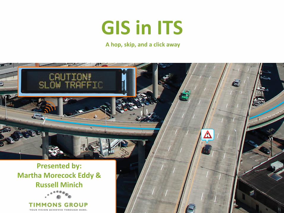
GIS in ITS
Presented by: Martha Morecock Eddy &
Russell Minich
A hop, skip, and a click away

Introduction
• What is ITS?
• Why should a GIS person care?
• How does a GIS person prepare?

• “Industries” being united: Transportation – infrastructure (roads) Communications Vehicles GIS/GPS Technology evolution Public
Capability Convergence

COMMS
CARS
ROADS
GPS/GIS
Technology
PUBLIC

Common Focus
90% of crashes are due to human behavior
Number 1 cause of death of the WORLD’s youth
PREVENTABLE

• REALLY Early days – Reduce crashes!
• Mobility 2000 – early 1990’s
• Vehicle manufacturers / Insurance Cos. / etc.
• When do/did ITS/GIS unite?
U.S. ITS History

• Vehicle detection/detectors or counters • TMC – traffic/transport management centres • Telecommunications (wired – fibre, POTS or wireless) • Bus rapid transit or other public transport /signal timing
priority or pre-emption • Variable speed limit signs (VSLS) – lane use management • Variable message signs (VMS, DMS, CMS) • CCTV cameras • Weigh-in-Motion (WIM) • Ramp metering/signalling • Telematics/in-vehicle devices • Traffic signal systems • Tolling/toll systems
Traditional ITS Devices

Putting ITS devices together – ATMS
Integrating devices

Putting ITS devices together – Traveler Information System

• Automated Driver Assistance Systems (ADAS) – Passive – Active
ITS: the Look Ahead

Passive: Warning systems Lane Departure
Warning System Blind spot
detection Curve speed
warning Fatigue Warning Automatic Collision
Notification
Active Forward collision
avoidance system Autonomous braking Adaptive cruise
control Rear object
avoidance system Adaptive headlights
In-vehicle/Automated Driver Assistance Systems

• Connected Vehicles / Cooperative-ITS
Continuing to Look Ahead

Vehicle to Infrastructure (V2I)
Emergency Vehicle Pre-emption – V2I

Vehicle to Vehicle (V2V)
Connected Vehicles Communications Range

Putting ITS & communications systems together

What drivers want

What happens leading up to a crash?

Connected vehicles vs. Autonomous vehicles

Autonomous Driving Prerequisites

Autonomous Driving

Summary
• What is ITS?
• Why should a GIS person care?
• How does a GIS person prepare?

What is ITS?
COMMS
CARS
ROADS
GPS/GIS
Technology
PUBLIC
• The application of advanced information and communications technology to surface transportation – Safety – Mobility – Environment

Summary
• What is ITS?
• Why should a GIS person care?
• How does a GIS person prepare?

Why Should a GIS person Care?
• ITS requirements will drive GIS specifications • GIS technology will facilitate the technology
convergence • Expansion of GIS based asset management • Expansion of user base with increased security
needs

Summary
• What is ITS?
• Why should a GIS person care?
• How does a GIS person prepare?

How Does a GIS Person Prepare?
• Governance – Collaborate with your ITS brethren, understand needs – Participate in ITS Business Requirements development – Create Secure (authentication, authorization/access)
Systems
• Data/Infrastructure – Enhance data models to support ITS – Support near real-time / continuous data flow – Provide access to data/analytics thru web services

Questions
Martha Morecock Eddy Senior ITS Consultant 804.200.6455 [email protected]
Russell Minich Principal 804.516.3926 [email protected]

Future technology growth… staggering