gmv’s eo services and exploitation platforms for … · eo services and exploitation platforms...
TRANSCRIPT

© GMV, 2017 Property of GMV
All rights reserved
EO SERVICES AND EXPLOITATION PLATFORMS for a World Market
GMV’s
© GMV, 2017Page 2
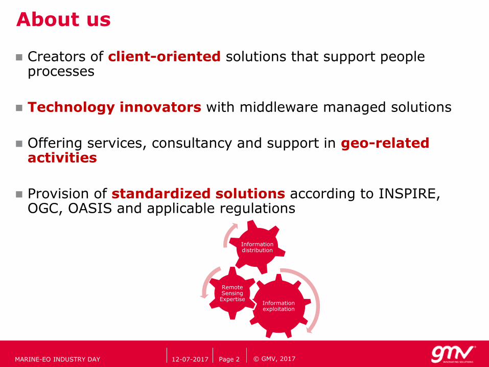
About us
Creators of client-oriented solutions that support people processes
Technology innovators with middleware managed solutions
Offering services, consultancy and support in geo-related activities
Provision of standardized solutions according to INSPIRE, OGC, OASIS and applicable regulations
Information exploitation
RemoteSensingExpertise
Informationdistribution
12-07-2017MARINE-EO INDUSTRY DAY

© GMV, 2017Page 3
Our expertise
Multi-source data blending (i.e. AIS, EO SAR and/or OPTICAL, LiDAR, climatic and agroclimatic data…)
Maritime Traffic Monitoring Systems
Forest Management
Precision Farming: Irrigation Needs, Crop Monitoring, Chlorophyll and Biomass Mapping
Homeland Security, Satellite based Support to European External Actions and Critical Infrastructures Protection (CIP)
Emergency Response, Humanitarian Relief and Crisis Management EO-based services
Land Use, Land-Use Change and Forestry (LU/LUCF)
12-07-2017MARINE-EO INDUSTRY DAY

© GMV, 2017Page 4
Our applications
Watermanagement
Climatechange
Landmonitoringand climate
change
Security
Forestry and precision farming
Emergencymanagement
Informationexploitation
Informationdistribution
Research & Development
12-07-2017MARINE-EO INDUSTRY DAY

© GMV, 2017Page 5
Our activities in the world
12-07-2017MARINE-EO INDUSTRY DAY

© GMV, 2017
GMV: SECURITY BACKGROUND
12-07-2017 Page 6MARINE-EO INDUSTRY DAY
GMV experience in the security domain lasts for almost 10 years

© GMV, 2017
SECURITY – LAND BORDER
12-07-2017
Objective
Preparedness for migration emergencies
Strategic pre-frontier intelligence analysis
Products
6-hour Fast Delivery – FD
48-hour Complete Product – CP
Service
Reference maps
Coastline monitoring
Prefrontier monitoring
Accessibility - transit routes
Sites
Land borders of Spain, South Mediterranean, Poland, Greece, Bulgaria
MARINE-EO INDUSTRY DAY Page 7

© GMV, 2017
SECURITY – MARITIME SURVEILLANCE
12-07-2017
Objective
Detection, monitoring and tracking of ships
Strategic maritime picture
Products
Real time cooperative based products
< 30 min for detection based products
Service
Ship Detection
Ship Categorization
Track correlation and processing
Track extrapolation
Sites
The Mediterranean Sea, Baltic Sea, NAFO, European Atlantic approaches, West & East Africa Coast, Strait Malacca, Tokyo Bay
MARINE-EO INDUSTRY DAY Page 8

© GMV, 2017
SECURITY – MARITIME SURVEILLANCE: SIMONS
Page 9
• SHIP DETECTION
• Wavelet analysis for SAR and Segmentation for Optical
• Confidence to quantitatively measure detection reliability.• C < 0.4 ship-alike sea features (wave crests)
• 0.4 < C < 0.7 less dispersive ships
• C > 0.7 ships visible by eye inspection.
12-07-2017MARINE-EO INDUSTRY DAY

© GMV, 2017Page 1012-07-2017
SECURITY – MARITIME SURVEILLANCE: SIMONS
Omega Theodore (Oil Tanker)
SAR Photo
Stena Poseidon (Bulk)
SAR Photo
• SHIP CLASSIFICATION
• Validation with AIS polls
MARINE-EO INDUSTRY DAY

© GMV, 2017
A Data Fusion Module (DFM) has been developed and fully operational for the European Maritime Safety Agency (EMSA):
Target AIS-VDS Correlation
Consistency Checker
Track reconstruction with constraint avoidance (coastline, corridor…)
Track Interpolation
Track Extrapolation
SECURITY – MARITIME SURVEILLANCE: SIMONS
12-07-2017 Page 11MARINE-EO INDUSTRY DAY

© GMV, 2017
Specifications:
* Real length vs estimated length
** Real length vs estimated length with factorization of resolution cell
SECURITY – MARITIME SURVEILLANCE: SIMONS
12-07-2017 Page 12
Quality descriptor Value
Processing Time • 5-6 min for a 40x40 km stripmap image• 7 min for a 10x10 km spotlight image• 10 min for a 100x100 km scansar image
Probability of Detection > 95 % for ships with length > 4*image res.
Absolute Length accuracy* ~75 %
Relative Length accuracy* ~90 %
Categorization rate ~70 % for ships with length > 12*image res.
AIS Fusion Yes large range of formats admitted
Band restrictions No any band and sensor is admitted
Area restrictions No any area (coastal, harbour, open sea…) can
be processed
MARINE-EO INDUSTRY DAY

© GMV, 2017
Integration of a complete HMI suite with advanced functionalities
SECURITY – MARITIME SURVEILLANCE: SIMONS
12-07-2017 Page 13
Rule-based alarms &Anomaly handling
AIS trackmanagement
Historic queries
Statistics
Alert handling
Mission replay
MARINE-EO INDUSTRY DAY

© GMV, 2017
EU EXTERNAL ACTIONS
12-07-2017 Page 14
Contingency planning during the Arab Spring 2011 in Benghazi, Libya
MARINE-EO INDUSTRY DAY

© GMV, 2017
MARITIME SURVEILLANCE: GUARDIA CIVIL
12-07-2017 Page 15
CAPSAT: Providing Satellite-based surveillance capabilities through EC’s EBF (European Border Funds) program at 2015.
Prime: GMV is the unique contractor
Installation of an operational system (HW and SW) providing EO-based ship surveillance services
Prepared to support the INDALO campaigns in the Mediterranean Sea
Users:
Guardia Civil, GNR, ITCG
GMV developed tasks of system implementation and maintenance, and of service provider in ship detection, ship categorization, track generation
MARINE-EO INDUSTRY DAY

© GMV, 2017 Property of GMV
All rights reserved
Thank you
Gerard Margarit, PhD
Business Development Manager and Remote
Sensing Specialist
Email: [email protected]
www.gmv.com

© GMV, 2017
Demo Video
MARITIME SURVEILLANCE: SIMONS
12-07-2017 Page 17MARINE-EO INDUSTRY DAY