hals history guidelines (pdf)
TRANSCRIPT
Historic American Landscapes Survey Guidelines for Historical Reports
Prepared for U.S. Department of the Interior
National Park Service Historic American Buildings Survey/
Historic American Engineering Record/ Historic American Landscapes Survey
Prepared by Judith Helm Robinson
Noel D. Vernon Catherine C. Lavoie
January 2005 (revised July 2005) Historic American Landscapes Survey
Guidelines for Historical Research and Reports
1
2
TABLE OF CONTENTS
Introduction Definition and Purpose of the HALS Program Oversight of the HALS Program HABS/HAER/HALS Organizational Relationships
Intent of the HALS Guidelines for Historical Research and Reports General Principles of HALS History Documentation 1.0 Historian's Duties
1.1 Conducting Historical Research and Documentation 1.2 Locating Existing Records 1.3 Primary and Secondary Source List 1.4 Conducting On-Site Survey
2.0 HALS Report Formats and Preparation Guidelines
2.1 General Guidelines for the Standard History Outline 2.2 Assigning Names and Secondary Names to Cultural Landscapes 2.3 Determining Location 2.4 HALS Number and Associated HABS/HAER Number 2.5 Outline Format
2.5.1 Identification Information Name Location Present Owner Present Occupant Present Use Significance
2.5.2 Part I: Historical Information Physical History Historical Context
2.5.3 Part II: Physical Information Landscape Character and Use Overall Description and Condition Landscape Features and Conditions
2.5.4 Part III: Sources of Information 2.5.5 Part IV: Project Information
3.0 HALS Short Report Format 4.0 Associated Issues
4.1 Supplemental Materials as Field Records 4.2 Archival and Copyright

3
4.3 Grammar and Punctuation 4.4 Submission and Approvals Process 4.5 Materials and Reproduction Requirements
Appendix A: Release and Assignment Form
4
INTRODUCTION Definition and Purpose of the HALS Program The Historic American Landscapes Survey (HALS) is a federal program within the National Park Service that is charged with creating a permanent, publically accessible record of significant cultural and designed landscapes in the United States and its territories. Landscapes vary in size from small gardens to national parks of several thousand acres. In character, they range from designed to vernacular, rural to urban, and agricultural to industrial landscapes. Estate gardens, cemeteries, farms, quarries, mills, nuclear test sites, suburbs, and abandoned settlements all may be considered under the broad category of cultural landscapes. Today, many of these landscapes have historic value and merit documentation and recognition. Fortunately, due to developments in landscape history and preservation, a consistent and effective process is in place for recording these sites. The primary goal of the HALS program is to provide a lasting record of landscapes that reflect the types, periods, and patterns of landscape development indicative of our varied American culture. Once HALS documentation packages are completed, the Prints and Photographs Division of the Library of Congress preserves them for posterity and makes them available to the general public. Like its companion programs, HABS and HAER, the HALS program produces written and graphic records of interest to architects, scholars, educators, land managers, and preservation planners. Due to their high level of academic and technical accuracy, HALS documentation packages are of value for scholarly research, site interpretation, and public education. These records may be used to protect landscapes against loss from disasters by permitting repair or replacement of damaged fabric, and may assist in treating, maintaining, and managing a historic property. If documentation is conducted prior to attempts to restore or otherwise alter the landscape, it may provide the basis for important planning and management decisions. HALS projects may also serve to focus attention on under-appreciated resources and establish their historic significance. Documentation can provide solid rationales for planning and funding of landscape preservation projects and may be used as the basis for preservation easements. Likewise, HALS records may aid in preparing National Register of Historic Places and National Historic Landmark nominations that offer protection through federal, state, and local government regulations, and for Cultural Landscape Reports (CLRs). HALS documentation may be stipulated as required mitigation to be undertaken by federal agencies when adverse effects to historic properties occur during that agency’s compliance with the National Historic Preservation Act. It also is anticipated that people who wish to make information available for scholarly purposes and to increase the body of knowledge will donate HALS documentation. Oversight of the HALS Program The National Park Service (NPS) oversees the daily operation of HALS and formulates policies, sets standards, and drafts HALS procedural guidelines. The ASLA provides professional guidance and technical advice through its Historic Preservation Professional Interest Group subcommittee on HALS. The Library of Congress houses the collection and provides public accessibility, as well as instruction on producing documentation that meets the requirements for archival stability.
5
HABS/HAER/HALS Organizational Relationships Three companion programs exist for the systematic recording of historic American buildings, sites, and structures. In November 1933, the National Park Service, the Library of Congress, and the American Institute of Architects established the Historic American Buildings Survey (HABS) to comprehensively document historic American architecture. On July 10, 1969, the Historic American Engineering Record (HAER) was established for the identification and documentation of sites, structures, and objects significant in the history and development of engineering and industry in the United States. On October 25, 2000, the Historic American Landscapes Survey (HALS) was established for the systematic documentation of American landscapes. Specific HALS guidelines are needed due to inherent differences in the process and content of designed and cultural landscape documentation. In some cases, a site may be eligible for recording under more than one of the three NPS programs, or a site previously documented under HAER or HABS may require HALS documentation. Intent of the HALS Guidelines for Historical Research and Reports It is anticipated that these Guidelines for HALS Historical Reports will the used in conjunction with separate guidelines for HALS drawings and photography. Together, these three documents provide a comprehensive set of standards for generating existing-conditions documentation for both cultural and designed landscapes. Of these three documents, the Guidelines for HALS Historical Reports sets forth the process for written documentation of HALS project sites. For recorders wishing to submit documentation to the HALS program for transmittal to the Library of Congress, it details the exact procedures and formats required. General Principles of HALS History Documentation 1) The HALS mission is to create a lasting, archival record of significant cultural and designed landscape resources for study purposes. 2) HALS history documentation is intended to convey the significance of the site and the context in which it was created and later evolved. The history discusses the property’s/sites evolution over time including original plans, as well as later additions and alterations. The report also describes the landscape architectural and physical character of the site, as it currently exists. 3) HALS projects are generally conducted at one of three levels of significance. Level I is the most complete level of documentation and is done for nationally significant properties. The final product for Level I history component consists of the comprehensive completion of the HALS historical report form. Level II historical documentation is slightly less exhaustive but includes substantial completion of the HALS historical report form to an extent appropriate to the national or state significance of the historic resource or to the extent possible under time and/or budgetary restrictions. Level III historical documentation should be reserved for sites less complex or of state or local significance, or where budget and time constraints are extremely restricted. Level III consists of completion of the HALS short format historical report.
6
1.0 HISTORIAN'S DUTIES
1.1 Conducting Historical Research and Documentation
The historian plays a critical role on the recording team by providing accurate historical data that leads to a greater understanding of the site, and by describing the landscape’s character defining features. In examining the origins and subsequent development of a landscape, the historian analyzes its relationship to regional and national trends, and considers associations with important persons or events. The historical report provides both general background on how the site fits into history as well as specific information on the site itself, setting the overall context for the period in question and compares the site with others like it. Besides producing a report that conveys the significance of the site and the context in which it was created, the historian has the potential to greatly influence what is recorded with photographs and illustrated by drawings. Through the documentation process, historians can provide valuable data on landscape chronology that will be helpful in understanding the site and its evolution, or in annotating the drawings. Information about historical development can be used to create overlay site plans that chronicle the various phases of development. The historian is also responsible for writing the significance statement that will appear on the title sheet of drawings, and for helping to select photographic views, particularly those that best illustrate historical trends. Thus, it is important for historians to work with the team's delineators and photographer to identifying what is important, and to assure a cohesive documentation package.
For the preparation of the written documentation, historians should place emphasis on rigorous research, concise text, and the assuring the greatest value of the final HALS package to both scholars and preservationists. Care should be taken whenever possible to verify the accuracy of sources, to work with primary rather than secondary sources, and to use the best possible judgment in identifying all critical archival locations and data. Care also should be taken to incorporate the full breadth of landscape history necessary for a thorough understanding of the property and its contexts.
1.2 Locating Historical Records
The HALS historian plays the lead role in collecting historical data, both for preparing the written documentation and for providing essential information to other HALS team members. To do this, the historian needs to investigate a multitude of potential sources. Historians should identify readily available information as well as key resources not yet collected. As with all landscape documentation projects, data may be found in city, county, state, and federal repositories; historical societies and libraries; State Historic Preservation Officers’ survey and archeological site files; and private repositories and collections. However, many individual cultural and historic landscapes often are associated with proprietary archives and special collections. Such repositories may contain primary source materials such as landscape architectural plans, plant lists, photographs, site-related correspondence, bills of lading, surveys, oral histories, films, videos and diaries. They also may hold secondary sources such as Cultural Landscape Reports and books or articles written about the site. For example, HALS documentation for Woodrow Wilson's retirement home in Washington, D.C. (a property of the National Trust for Historic Preservation) possesses substantial
7
plant lists, diaries, and other documentation archived at the Wilson House, as well as a Cultural Landscape Report on the property prepared for the Trust. For HALS documentation of the Appomattox Court House (APCO) National Historical Park, the National Park Service’s APCO Cultural Landscapes Inventory, War Department and Civilian Conservation Corps records at the National Archives and Records Service, and oral interviews with the Park Superintendent provided valuable data. Many universities and private historic sites have extensive archival collections. 1.3 Primary and Secondary Source List Following is a list of primary and secondary sources likely to yield information for HALS history narrative and the documentation of the site's integrity: • original drawings, site plans and maps, including those for utilities and other site improvements • photographs (including aerial photographs) and other graphic images • inventories, wills, property deeds, and tax assessments • company records, annual reports and other legal records • GIS databases for the site and its context • archeological records or reports • community records (for ethnographic, religious and intentional communities)
• correspondence, oral histories, and personal interviews • trade catalogues and professional journals • period newspaper accounts •natural and cultural resource databases (such as the NPS List of Classified Structures and Cultural Landscapes Inventory) • park or site maintenance records • utility records, zoning, and other political or legal information • special studies (such as remote sensing studies, ecologists' reports, and ethnographic overviews) • vegetation management plans • National Historic Landmark or National Register nominations, and other state/local nominations & historic resource studies • planning documents (such as a general management plan, interpretation plan, or resource management plan) • published histories on-line resources and web sites
Keep in mind that some documentation should not be taken as literally accurate and should be checked against the full documentary evidence for the highest degree of accuracy possible. Drawings should be checked for accuracy against other evidence: for example, while design plans document intentions, these plans may never have been implemented. When available, as built- drawings and photographs can be compared to design plans to better understand the evolution of the landscape from concept to actual construction. Read documents with care. Copies of historic maps, photographs, and plans may not be legible or may have missing information that is not apparent to the user. It may be necessary to check drawings and reproductions for scale distortions due to photocopying.
8
1.4 Conducting the On-Site Survey
On-site analysis of landscape features and existing conditions is essential to the HALS process and is needed in preparing the Physical Information section of the report. In this phase, the historian identifies and describes the appearance and condition of each of the site's character-defining landscape features. Be on the lookout for variations in the overall design that may be an indication of later changes to the original plan(s). Again, HALS drawings and photography typically will be done in collaboration with the written portion of this survey, and so interaction with other members of the recording team is essential. These findings can be used to show how individual features attest to the site's significance and contribute the site's overall integrity. Current site features to be documented and compared to those of historic eras include spatial organization, visual relationships, circulation systems, land use, natural systems, topography, vegetation, water/hydrology, buildings and structures, furnishing and objects (see outline format). Historic site/landscape plans, historic maps, especially important in the case of vernacular landscape research, drawings, and photographs can be taken in the field for on site comparison (copies of originals are recommended for this purpose). Occasionally techniques such as GIS, GPS and remote sensing or coring prove useful in the site documentation.
9
2.0 HALS Report Formats and Preparation Guidelines
2.1 General Information for the Standard History Guideline
Historians prepare the historical narrative and descriptive report using either the standard HALS outline format or the short report format. The outline prescribes aspects to be discussed, although sections may be expanded or deleted to reflect the history and conditions of the specific site being recorded. Likewise, the historian may develop the context as deemed appropriate for the site, and determine under which category or heading the information is best presented.
HALS has four standards guiding its documentation. The first standard regards content: the documentation shall adequately explicate and illustrate what is significant or valuable about the site. Second, the quality: the documentation shall be prepared accurately from reliable sources with limitations clearly stated to permit independent verification of information. Third, materials: the documentation shall be prepared on materials that are readily reproducible for ease of access; durable for long storage; and in standard sizes for ease of handling. And fourth, presentation: the documentation shall be clearly and concisely produced.
2.2 Assigning Names and Secondary Names to Landscapes
When assigning the primary name to a landscape, the proper name to use is the historic name, which will not change with each new owner or use. The historic name often requires careful research to determine. It is generally the name designated for a site at its completion or dedication, the name of the original owner of the property, or the original designated use of a public or commercial site. Always note the origin or source of the historic name in the text of the report. Examples of historic names are:
MERIDIAN HILL PARK or JOHN BARTRAM'S GARDEN
Occasionally, the historic name is not well known, and researchers using the HALS records may not be able to identify a landscape by that designation. In such cases, a secondary name(s) is included to aid in the use of HALS records. The secondary name reflects either a later period of historical significance to the site, or the current name by which the landscape is most commonly known, such as:
WASHINGTON BURIAL GROUND (Congressional Cemetery)
If a later owner was particularly prominent or was responsible for a substantial alteration or addition, that name may be linked to the original owner's name by a hyphen, such as:
MARSH-BILLINGS-ROCKEFELLER NATIONAL HISTORICAL PARK
Many units of the National Park Service and/or National Historic Landmark or National Register of Historic Properties sites are correctly identified by their designated title, for example:

10
APPOMATTOX COURT HOUSE NATIONAL HISTORICAL PARK CANYON DE CHELLY NATIONAL MONUMENT
If a property has been previously documented to HABS/HAER standards, but the landscape was not included, the title for HALS documentation may be worded in the following manner:
WOODROW WILSON HOUSE, LANDSCAPE
Do not use statements such as "now the" or "currently" with a name as part of a title, since this will eventually be outdated. Avoid using words such as "old" in a name, unless it is part of the recognized name.
If the original name cannot be determined, the address, qualified by a general designation is used in the name, such as:
549 ELM STREET, GARDEN 333 TATES CREEK PIKE, LANDSCAPE
2.3 Determining Location
The exact location of a landscape must be carefully indicated. This includes the number and street or otherwise defined boundaries, city or town, county, and state. It may include the UTM or GPS coordinates. Locations are handled somewhat differently for urban and rural areas.
2.3.1 Urban
Use the number and street, followed by the corner or intersection in parentheses if appropriate, such as:
500 Main Street (northwest corner of Oak)
If the street name is a number, use the local convention to determine whether to write it in digits or words:
54 E. 42nd Street 301 Seventh Avenue
If the property is large, indicate streets bounding it, such as:
West side of Main Street, between Oak Avenue and Elm Street West side of Main Street, bounded by Court, Oak, and Elm streets
In small towns without street numbers, a more descriptive address is required. Relate the property to named streets or local landmarks, such as:
11
South side of Main Street, 0.5 mile west of Oak Avenue East side of Main Street, 0.7 mile north of Ridge Creek
In all instances, the city or town, county, and state must be identified.
2.3.2 Rural
In rural areas, a more descriptive address is necessary. Properties are located within one-tenth of a mile from the nearest intersection, such as:
South side of U.S. Route 13, 0.3 mile east of State Route 605
For extremely remote locations, it is necessary to relate to a natural landmark and/or the nearest road, such as:
0.1 mile south of Parker Creek, 0.5 mile north of State Route 605
If appropriate, the distance and direction to the nearest town line or other legal boundary can be added. As a general guideline, the address goes from the most specific (the road or street name) to general (mileage from nearest town).
If the property is not located within the boundaries of a city or town, it is located in reference to the nearest city or town. Always include the word "vicinity" with the town name to clarify the location, such as:
Millville vicinity
Generally, the vicinity is the nearest city or town that has a zip code. Consider local usage and custom here. Keep the vicinity in the same county as the property. Identify the county and state.
If the UTM (Universal Transverse Mercator) coordinates are known, include them here. All of the properties listed in the National Register have had their UTM coordinates plotted on a USGS map. For rural properties, the UTM's are a means of definitely locating properties; for urban properties, street addresses are usually much clearer. If known, the appropriate USGS quadrangle map name and the UTM coordinates should be included after the address:
USGS Mountain Grove Quadrangle, Universal Transverse Mercator Coordinates: 17.594470.4207610
2.4 HALS Number and Associated HABS/HAER Numbers
Every landscape is assigned a HALS number, which is its identifying number within the HABS/HAER/ HALS collection. The HALS number consists of a two-letter state abbreviation, hyphen, and number. The number must appear on every item of documentation sent to the Library
12
of Congress. With regard to the historical report, the number is to be placed in the header of every page (see example report). The HALS number is always preceded by "HALS No." to differentiate it from items in the HABS and HAER collections.
If a multifaceted landscape or historic district is being documented, the site as a whole will receive a HALS number, such as:
Shenandoah National Park, HALS No. VA-XX
Then, each landscape feature that is part of the complex will receive a subsidiary number: Big Meadows, HALS No. VA-XX-A
If HABS and/or HAER documentation has occurred on the same site, indicate the associated HABS/HAER project number(s) for cross-referencing purposes.
2.5 Outline Format
The standard outline format was developed for HALS reports to help insure that all important information is included and is readily accessible. This format is most efficient for individual sites. This section illustrates the outline format in detail, heading by heading and discusses the material to be included under each heading. The format is flexible to suit a variety of circumstances. Omit or change the heading to suit the site and the information available.
The outline is divided into five sections: the identification information, Historical Information, Descriptive Information, Sources of Information, and Project Information. Standardized spacing and layout are used.
2.5.1 Identification Information: Name: The name section includes the office name, the name of the structure, and
the HALS number. Example: HISTORIC AMERICAN LANDSCAPES SURVEY HISTORIC NAME (Secondary name) HALS NO. XX- ##
Location: This includes the number and street, city, county, and state. In some case, it may be more appropriate to give boundary locations and/or other co-ordinates. A brief description of the general setting and orientation should also be stated, including a description of the immediate environment, topography, compass direction, and approach.
13
Present Owner: This category can be combined with the next two, if appropriate. Give an
address for the owner if it is different from that of the occupant. If the site is vacant, eliminate the occupant category, and list vacant as it’s use.
Present Occupant: see above
Present Use: see above
Significance: This should be a brief, concise statement as to the landscape architectural
and historical reasons why this site is worthy of documentation. This statement will form the basis for the development of the historical context, and likely the landscape’s character defining features, section of the outline.
Historian: State name, affiliation, and date.
2.5.2 Part I: Historical Information
2.5.2.1 Physical History: Date(s) of establishment
Include known dates of all key historic eras of landscape development. Include dates of plans, beginning construction, dedication, etc. and the sources for each. If the date is not known, state that, but estimate to the best extent possible, indicated by "ca." Again, state the evident and reasons for the estimate (such as stylistic basis, changes in assessed value, local traditions, etc.)
Landscape architect, designer, shaper, creator
Discuss any person(s) responsible for designing, shaping, or creating the landscape, be they trained architecture professions, surveyors, gardeners, farmers, or native peoples. For a cultural landscape, shapers and creators can be those persons to which the landscape has been traditionally attributed, such as planters and gardeners, farmers, specific owners and amateur gardeners, communities, and native populations. If the landscape is formally designed, this section may include a brief biographic entry of the landscape architect, designer, master gardener, or horticulturist, including his/her stylistic preferences, and identifying design elements and how they relate to other works by this individual in particular, and of the era in general.
Builder, contractor, laborers, suppliers
Information available on those who had played a role in the physical shaping of the landscape should be noted here. This information is particularly pertinent in the absence of a (known) landscape architect or a creator. This may include slave laborers, farm
14
workers, landscaping contracting firms, masons, purveyors of plant materials such as nurseries and seed catalogues, or governmental workers such as the Civilian Conservation Corps. Often the importance of the role of such individuals is underestimated. If appropriate, particularly for suppliers, these companies or individuals can be presented in list form.
Original and subsequent owners, occupants
A chain of title is the best way to establish the owners, but its usefulness varies depending on the type of landscape being recorded. For example, in the case of private ownership, knowing the owner (who likely also served as a shaper of the landscape) is more important than if it were continually managed by a large, single entity as in the case of a city park. Knowing the owner's name is essential in accessing some types of information, such as tax assessment records. If use, rather than actual ownership, is more significant to the shaping of the landscape, than include occupants in the chain of title. Site managers may be ascertained through sources such as business or family papers, institution annual reports, and the like. Associated groups may be determined through organizational records such as those of the Garden Club of America, historical societies, etc.
Periods of development:
a. Original plans and construction
Describe the original appearance of the site, identifying its key features, using primary materials such as drawings, early views, and written descriptions to depict it as accurately as possible. Physical evidence and on-site analysis can contribute to the description.
b. Changes and additions
A chronological description of changes to the landscape over time, devoting a separate paragraph or section to each major alteration. Include dates for the changes and sources of information. Again, identify the key features that distinguish each era of development. Depending on the significance, a brief statement can be made here and elaborated on in the historical context section.
2.5.2.2 Historical Context
This section is a presentation of the larger argument for the importance of the site as briefly outlined in the statement of significance. The material presented here can vary greatly, depending on significance. The idea is to establish the context in which the site was developed and evolved over time. It includes, but it not limited to, the natural and cultural influences upon the design; the evolution of the site over time; parallel movements & influences; cultural traditions; information pertaining to influence of landscape architects and designers/shapers not covered in general information and characterization of work discussed in previous section. Cultural influences include social,
15
economic, technological, and political impacts on the site's development. Natural influences that impacted the development of the site include proximity to significant natural features such as a river, or a forest.
The historic context can vary considerably, depending on the resource. For example, if recording a farm complex, the report may include a discussion of the agricultural history of the area, the relationship of the farm to a nearby town or industry, and the growth of transportation in the area. For a formal garden associated with an in-town neighborhood, it may include a discussion of the development of the neighborhood, platting of original lot lines, or selection of particular plant specimens based on availability from local nurseries or climate. If it is a unit of the National Park Service, it may place the park within the overall history of that agency or within the development of park systems nationally. If it is an ethnographic landscape, it may reflect a long-departed population or be a vital part of one or more existing communities. If it is a designed landscape, periods and influences in American landscape design should be addressed. It is important to think through carefully all applicable historic contexts, and to conduct sufficient background research to address context competently for the landscapes's chosen level of documentation.
2.5.3 Part II. Physical Information
The purpose of this section is to supplement the information provided by the measured drawings and large-format photographs so that these components work together with the historical documentation to create a complete picture of the landscape at the time of its documentation. Description should be clear and concise. Avoid lengthy descriptions that could more easily be extrapolated from the drawings or photographs, unless one or both of these elements are not included as part of the documentation.
2.5.3.1 Landscape Character and Description Summary
Why is this landscape important? This can be defined through broad categories of use to include designed, vernacular, cultural, or ethnographic landscapes, although they are not necessarily mutually exclusive. Basically, what distinguishes this particular landscape character describes the principal activities in a landscape that form, shape, and organize it as a result of human interaction.
2.5.3.2 Character Defining Features
Provide a brief summary of the overall landscape, emphasizing the key landscape features, so that the reader has a basic understanding of the site. It is appropriate to provide an overall statement on conditions, while the condition of specific landscape features should be addressed under the appropriate headings below.
The overall condition of the landscape is basically an assessment of its integrity. According to A Guide to Cultural Landscape Reports, assessing integrity may be complex because important aspects of the landscape change over time. It is rare that any landscape might appear exactly as it did 50 or 100 years ago. Historic integrity is determined by the
16
extent to which the general character of the historic period is evident, and the degree to which incompatible changes can be reversed and inappropriate elements can be removed. For example, as vegetation matures, the change in tree canopy, scale, and massing may affect the overall character of the landscape; these changes may be reversible through replacement plantings. It is important not only to consider changes to an individual feature, but how such changes affect the landscape as a whole. With some landscapes, change itself is a significant factor and is considered in assessing integrity. Depending on the significance, the presence of some characteristics is more critical to integrity than others. For example, spatial organization and patterns of land use may be more important than individual features, such as buildings and specific planting materials.
When completing the categories below, compare and contrast original and current conditions in writing the description when possible.
Natural Features
These are the natural aspects that have influenced the development and physical form of a landscape. The following may be included: geomorphology (the large-scale patterns of land forms); geology (the surficial characteristics of the earth); hydrology (the system of surface and subsurface water, such as aquifer recharge areas and flood plains); ecology ( the interrelationships among living organisms and their environment, including among other aspects, wildlife and habitat; climate ( temperature, wind velocity, and precipitation; native vegetation (indigenous plant communities and indigenous aggregate and individual plant features). Examples of features associated with natural systems and features include ravines, valleys, watersheds, wetlands, and rock outcrops.
Topography
The three-dimensional configuration of a landscape surface characterized by slope, elevation, and solar aspect. Topography may occur naturally, or as a result of human manipulation resulting in features such as earthworks, drainage ditches, knolls, and terraces. Topography may contribute to the creation of outdoor space, serve a functional purpose, or provide visual interest. Vegetation
This includes the deciduous and evergreen trees, shrubs, vines, ground covers and herbaceous plants, and plant communities, whether indigenous or introduced in a landscape. Botanical names are preferred; refer to drawings for specific plants names and locations. Vegetation may derive significance from historical associations, horticultural or genetic value, or aesthetic or functional qualities. Vegetation is a primary dynamic component of the landscape’s character, hence discussion of seasonal change, plant life style and the change over time is appropriate.

17
Water
Water features are the natural hydrological systems that define and shape the natural landscape.
Designed Features
The categories below refer to the three-dimensional organization of physical forms and visual associations in a landscape, including the articulation of ground, vertical, and overhead planes that define and create spaces. Spatial organization is influenced by the landscape's cultural and natural features.
Land patterns Circulation
The systems of movement within a landscape, defined by alignment, width, surface, edge treatment, grade, materials, and infrastructure, and include pedestrian and vehicular movement. Examples include roads, sidewalks, and paths.
Views and vistas
A field of vision within a landscape conferred by the composition of other landscape features that may impact it. Views are defined as projecting a broad range of vision, whereas vistas are deliberately contrived, discrete ranges of vision. Water
Defined as the constructed or shaped features and element that employ water for aesthetic or utilitarian functions in a landscape. Water features may be linked to the natural hydrological system of may be fed artificially; associated water supply, drainage, irrigation, and mechanical systems are important components. Other examples include: lakes, ponds, pools, fountains, canals, aqueducts, and reservoirs.
Buildings and structures
Buildings include any enclosed element constructed for the purpose of sheltering human activity, including houses and outbuildings. Structures include elements construction for functional purposes, such as greenhouses, pumps houses, and dams; but also recreational shelter such as gazebos, pergolas, arbors, and terraces; as well as walls, tennis courts, and playground equipment. The placement, arrangement and relationship of buildings and structures directly contribute to the
18
character of the landscape. The description should be accompanied by location, function, and historical information.
Small scale elements These are elements that provide detail for functional needs or aesthetic concerns, and can be permanent, movable, or used seasonally. Examples include: fences, benches, lights, signs, flagpoles, and statuary or sculptural elements.
Archeological sites
Includes the ruins, traces or deposits of artifacts in the landscape, evidenced by the presence of surface or subsurface features. Examples of features associated with archeological resources include road traces, structural ruins, irrigation system ruins, and reforested fields.
Other
Any feature that does not fall into the built elements listed above; including ephemeral qualities such as mist, sounds, seasonal wildlife occupation.
2.5.4 Part III. Sources of Information
2.5.4.1 Drawings, plans:
Be sure to include the date and location, and note whether or not the image depicts plans or reality (or as-builts).
2.5.4.2 Historic views, photographs
If known, cite the medium, artist/creator, date, publisher, and plate size. Cite the location of the image and include a caption that states the reason for including this image in the report (i.e. what information does it convey about the site?).
2.5.4.3 Interviews
Include the name of the person interviewed, the date and place of the interview, and the person's relationship with the site.
2.5.4.4 Bibliography
a. Primary and unpublished: (Note: cite location of any unpublished materials.)
b. Secondary and published:
19
2.5.4.5 Sources not yet investigated
List any source of information that was not investigated, but known or thought to contain information pertinent to the site.
2.5.4.6 Supplemental material
This is a reference to any figure pages that may be attached to the report, such as historic images and maps, and includes a figure page number, caption, and source citation. Often while researching a cultural landscape for the preparation of HALS reports, the team will find important documents and early views. This information will be of interest to a researcher using the HALS collection, especially if the item is not readily available in another collection. Copies of these items can be included in the report, or for reference purposes included in the field notes. The item must be reproducible, according to HALS standards. If a photograph is accompanied by a large-format negative and is not under copyright restrictions, it can be included as part of the photographic documentation. If a negative is not available, the photograph is photocopied as part of the report. Copies of other items, such as illustrations in books or historic photographic views, should be in the public domain or accompanied by a signed copyright release form; these items also should not be available in other collections or repositories. Be aware of copyrighted items. They cannot be placed in the public domain unless the copyright has expired or the author has issued a written release. (See the sample HALS Release and Assignment Form in Appendix D.) Xerox copies of written material will be photocopied onto 8 2" x 11" archival bond. A complete bibliographic citation is necessary. Reference-only photocopies may be made and filed in the field notes.
2.5.5 Part IV. Project Information
This is a summary of all those involved in the planning and execution of the project, such as program and project managers, sponsors, delineators, historians, photographers, and editors, including titles for individuals, as well as project dates. If there are individuals that need to be acknowledged for their contributions to the project, this is the place to do that.
20
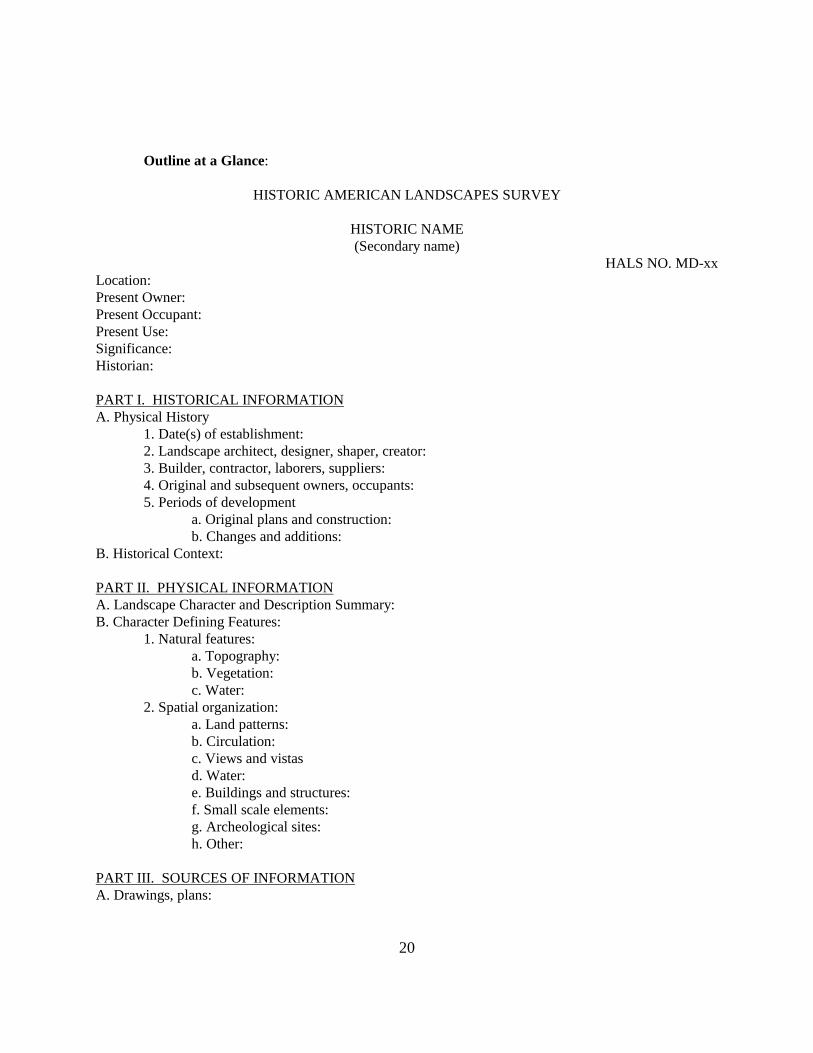
Outline at a Glance:
HISTORIC AMERICAN LANDSCAPES SURVEY HISTORIC NAME (Secondary name) HALS NO. MD-xx Location: Present Owner: Present Occupant: Present Use: Significance: Historian: PART I. HISTORICAL INFORMATION A. Physical History
1. Date(s) of establishment: 2. Landscape architect, designer, shaper, creator: 3. Builder, contractor, laborers, suppliers: 4. Original and subsequent owners, occupants: 5. Periods of development
a. Original plans and construction: b. Changes and additions:
B. Historical Context: PART II. PHYSICAL INFORMATION A. Landscape Character and Description Summary: B. Character Defining Features:
1. Natural features: a. Topography:
b. Vegetation: c. Water:
2. Spatial organization: a. Land patterns:
b. Circulation: c. Views and vistas
d. Water: e. Buildings and structures: f. Small scale elements: g. Archeological sites: h. Other:
PART III. SOURCES OF INFORMATION A. Drawings, plans:
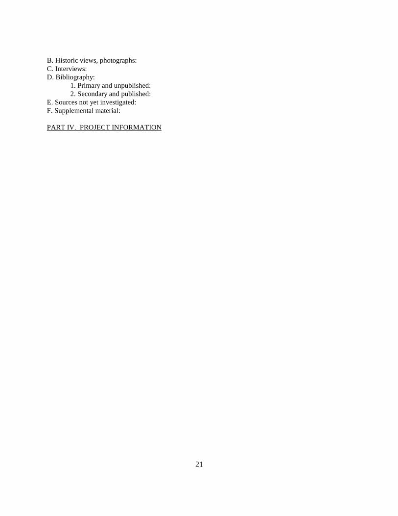
21
B. Historic views, photographs: C. Interviews: D. Bibliography:
1. Primary and unpublished: 2. Secondary and published:
E. Sources not yet investigated: F. Supplemental material: PART IV. PROJECT INFORMATION
22
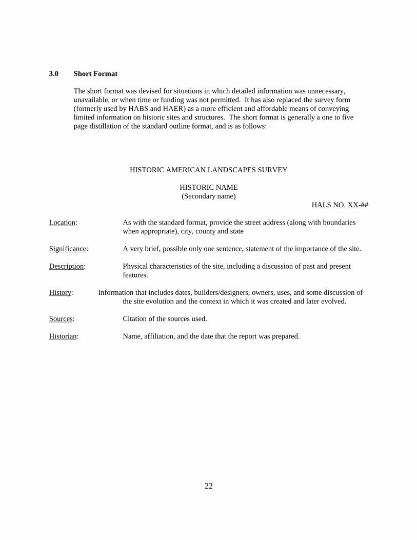
3.0 Short Format
The short format was devised for situations in which detailed information was unnecessary, unavailable, or when time or funding was not permitted. It has also replaced the survey form (formerly used by HABS and HAER) as a more efficient and affordable means of conveying limited information on historic sites and structures. The short format is generally a one to five page distillation of the standard outline format, and is as follows:
HISTORIC AMERICAN LANDSCAPES SURVEY HISTORIC NAME (Secondary name) HALS NO. XX-## Location: As with the standard format, provide the street address (along with boundaries
when appropriate), city, county and state Significance: A very brief, possible only one sentence, statement of the importance of the site. Description: Physical characteristics of the site, including a discussion of past and present
features. History: Information that includes dates, builders/designers, owners, uses, and some discussion of
the site evolution and the context in which it was created and later evolved. Sources: Citation of the sources used. Historian: Name, affiliation, and the date that the report was prepared.
Guidelines for HALS Historical Reports, page 23
23
4.0 Associated Issues
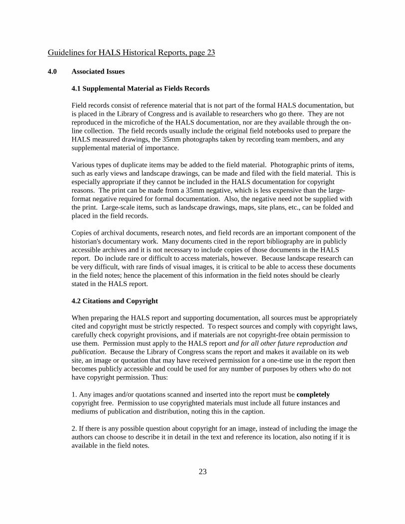
4.1 Supplemental Material as Fields Records
Field records consist of reference material that is not part of the formal HALS documentation, but is placed in the Library of Congress and is available to researchers who go there. They are not reproduced in the microfiche of the HALS documentation, nor are they available through the on-line collection. The field records usually include the original field notebooks used to prepare the HALS measured drawings, the 35mm photographs taken by recording team members, and any supplemental material of importance.
Various types of duplicate items may be added to the field material. Photographic prints of items, such as early views and landscape drawings, can be made and filed with the field material. This is especially appropriate if they cannot be included in the HALS documentation for copyright reasons. The print can be made from a 35mm negative, which is less expensive than the large-format negative required for formal documentation. Also, the negative need not be supplied with the print. Large-scale items, such as landscape drawings, maps, site plans, etc., can be folded and placed in the field records.
Copies of archival documents, research notes, and field records are an important component of the historian's documentary work. Many documents cited in the report bibliography are in publicly accessible archives and it is not necessary to include copies of those documents in the HALS report. Do include rare or difficult to access materials, however. Because landscape research can be very difficult, with rare finds of visual images, it is critical to be able to access these documents in the field notes; hence the placement of this information in the field notes should be clearly stated in the HALS report.
4.2 Citations and Copyright
When preparing the HALS report and supporting documentation, all sources must be appropriately cited and copyright must be strictly respected. To respect sources and comply with copyright laws, carefully check copyright provisions, and if materials are not copyright-free obtain permission to use them. Permission must apply to the HALS report and for all other future reproduction and publication. Because the Library of Congress scans the report and makes it available on its web site, an image or quotation that may have received permission for a one-time use in the report then becomes publicly accessible and could be used for any number of purposes by others who do not have copyright permission. Thus:
1. Any images and/or quotations scanned and inserted into the report must be completely copyright free. Permission to use copyrighted materials must include all future instances and mediums of publication and distribution, noting this in the caption.
2. If there is any possible question about copyright for an image, instead of including the image the authors can choose to describe it in detail in the text and reference its location, also noting if it is available in the field notes.
Guidelines for HALS Historical Reports, page 24
24
3. Historians authoring the report need to be selective regarding what to include. Images can and should be included in the field notes, but basically only those items that are critical for understanding the site and its evolution and/or those that are difficult to access. 4. Those images that are inserted into the field notes should have all of the proper citations.
4.3 Grammar and Punctuation
HALS written narratives should follow accepted rules of grammar. The standard reference guides used by HALS are the Chicago Manual of Style and Kate L. Turabian's A Manual for Writers (most recent editions). Grammar and punctuation, bibliographic references, footnotes/endnotes, etc., must all conform to this manual. Additions and exceptions to these grammar and punctuation standards & matters of style germane to architectural, landscape, and technical subject matter are contained below. Above all, it is important to be consistent. Footnotes, endnotes, or shortened notes in parentheses are all acceptable (although footnotes are preferred), and sources should be indicated for all information. Terminology should follow correct terms for architecture, landscape architecture, etc., as found in sources located throughout these guidelines, particularly the landscape documentation references in Existing Landscape Standards and Resources in Appendix A.
HALS observes strict conventions concerning the format of the final documentation, including line spacing, paragraph indentations and capitalization. Certain lines are written in all capitals. In MicroSoft Word, the indent key is essential for the format. The final report is single-spaced. Reports will be edited in the HALS office before being sent to the Library of Congress, where they are available to the public.
The following are additional issues of style germane to architectural and technical subject matter that have been adopted for use by HABS/HAER/HALS:
years: 1930s, >30s; not Thirties, and never 1930's using the apostrophe
1850-60, 1850-1940; do not repeat century unless it changes; always include the decade, i.e., not 1850-7
First quarter of the nineteenth century; not first quarter of the 1800s
Spring 1888, December 1900; do not capitalize the season, or state as "summer of 1969", do not use a comma, as in "December, 1900"
dates: July 4, 1776, was a great day. Note comma after the year
Ca. 1850, not c. or circa. (written out)
towns: Omaha, Nebraska, is a lovely town. Note comma after the state.
Guidelines for HALS Historical Reports, page 25
25
Number/ numerals: All number from one to ninety-nine are written out, while 100 and above are cited
as numerals, except in the case of ages, street numbers, dimensions, and millions.
For example: In 1850-60, an estimated forty-seven miners traveled more than 650 miles across the western states. Many did not live past the age of 40, although one 89-year-old man lived into the twentieth century. He lived at 37 Gold Rush Ave. The frame dwelling was a 10'-4" x 12'-0" space and cost only $577.00 when the old man bought it in December 1898, yet legend says he was worth $2 million.
Nineteenth century, eighteenth century, eighteenth-century dogma; not 19th century or 18th-C (see hyphenations below)
percent: 0.7 percent, 50 percent; always use a numeral, and only in a chart or graph may %
be used. money: $5.87, $24.25, $234.89, 1 cent, 10 cents, 99 cents; do not write out dollars.
dimensions: Measurements and dimensions are never written out; they always appear as
numerals, and feet or inches are always indicated using technical symbols, with two types of exceptions: Exception 1: 10 cubic feet and 10 square feet, not 10 cubic' Exception 2: approximate measurements do not require the -0": i.e., The three commercial building are about 20' wide and 40' deep.
Use a lowercase x, not "by"; use apostrophes and quotations marks for feet and inches, respectively; hyphenate all feet and inches number, and any fractions indicate an even measurement with -0" For example: Two families live at 333 Third St., which is the historic town lot No. 146. The Byrnes live on the first floor, where the bedroom is 12'-6" x 9'-0", the bathroom is 5'-0" x 4'-0-3/4", and the kitchen is only about 8' square. The second-story space has been remodeled into two equal-sized 12'-0"- wide rooms with four large windows that measure nearly 5' tall.
Note: When punctuating dimensions, commas fall outside the inches/feet marks: The planks measured 10'-6", 5'-2-1/3", and 2'-0".

Guidelines for HALS Historical Reports, page 26
26
Streets/ addresses: 222 Packard St.
capitalize and abbreviate street, avenue, boulevard, etc., but not short items such as road or lane, when the number prefaces the street name.
Sam lived on Packard Street. Write out and capitalize street when no number is given.
It is at the intersection of Packard and Mills streets. When two proper names are listed, not capitalize street (also true of companies, rivers, etc.)
The houses surveyed are No. 15 and No. 27 Mill Street. The deed cites lot No. 146. A Number(s) is always capitalized and abbreviated as No. or Nos. (Also: LaSalle, Illinois, is a No. 1 town.)
Interstate 66, U.S. 30 or Route 30 write out and capitalize "interstate" on first reference; subsequent references are abbreviated, i.e., I-66
capitalization: U.S. government, U.S. Department of the Interior, U.S. exports
The U.S. Army write out "United States" when it is the noun, but not when it is an adjective; do not place a space between U. and S.
Acronyms:
Write out the complete name on first reference, putting the proper name's acronym
in parentheses afterward; thereafter use the acronym only:
For example: The U.S. Department of Agriculture (USDA) and Society of Architectural Historians (SAH) have an agreement to study historic barns in the United States, but the SAH is unsure of the USDA's commitment.
hyphenations:
Many phrases are clarified when augmented by a hyphen; the following architectural terminology is clarified by employing the general rules of hyphenation:
1. in general, hyphenate an adjectival construction, one that which preceded the subject
Guidelines for HALS Historical Reports, page 27
27
2. in general, do not hyphenate an "ly" word, including "federally" 3. in general, do not hyphenate "late" or "early" before a century bird's-eye view load-bearing brick; but the brick wall is load bearing Civil War-era landscape Five- and seven-course bond nineteenth-century garden late eighteenth-century roadway
4.4 Submission and Approvals Process
HALS documentation is sent to the Library of Congress as part of the HALS collection within the Prints and Photographs Division. The historical report is edited to conform to the format and organization of other catalogued materials. Each report will be filed with its photographs and reduced copies of the HALS drawings. Individual reports related to a single property (for example, HALS and HABS documents recording different aspects of the same site) may be stored separately. Therefore, each report must stand on its own. The procedures for transmitting HALS documentation to the Library of Congress are contained in separate guidelines, Transmitting HABS/HAER/HALS Documentation.
4.5 Materials and Reproduction Requirements
Documentation should be prepared on materials that are readily reproducible, durable, and in standard sizes. All HALS materials are intended for reproduction, and the Library of Congress reproduces some 20,000 records each year. HALS written history and description must be submitted as readily reproducible, clean copy on 8 1/2" x 11" archival bond paper. Data should be typewritten or laser printed. It is important when selecting supplementary graphic material to consider its legibility when photocopied and/or recorded on microfiche.
Guidelines for HALS Historical Reports, page 28
28
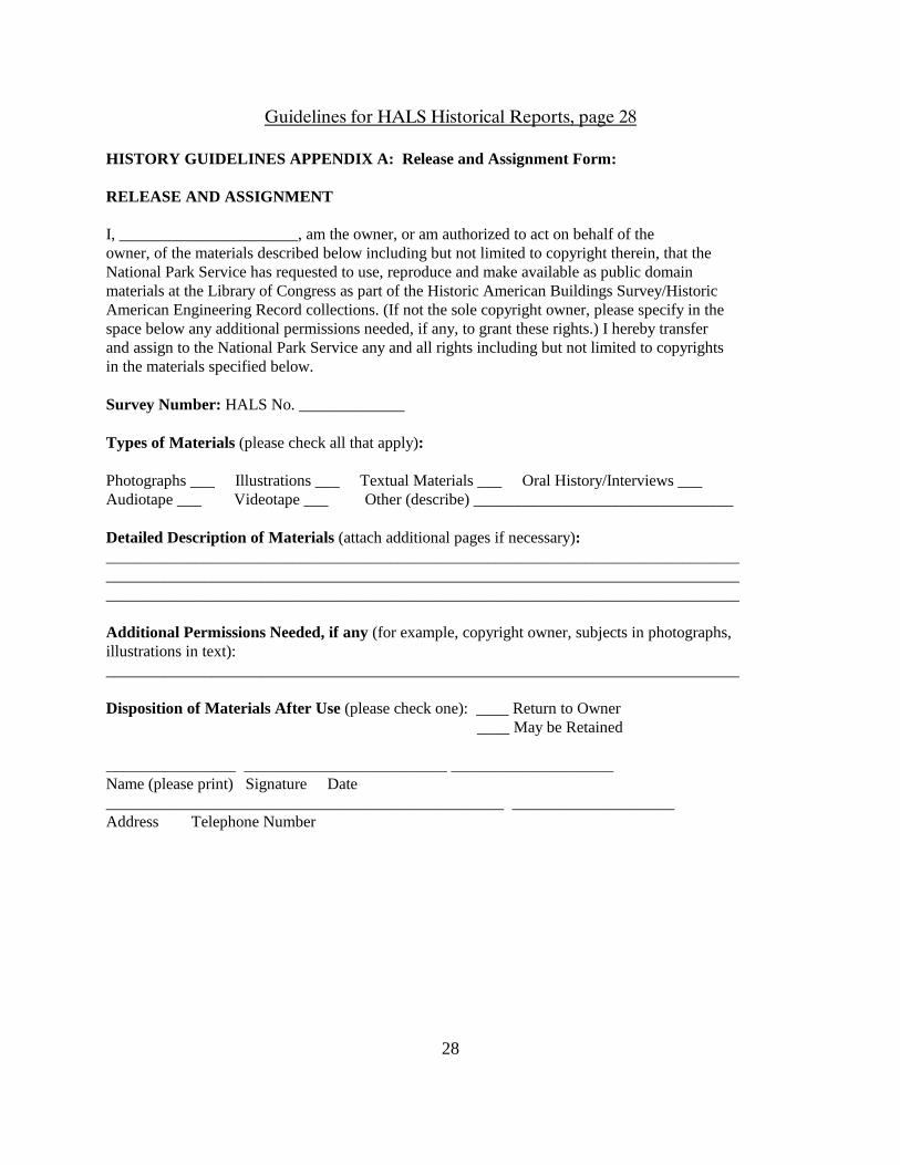
HISTORY GUIDELINES APPENDIX A: Release and Assignment Form: RELEASE AND ASSIGNMENT I, ______________________, am the owner, or am authorized to act on behalf of the owner, of the materials described below including but not limited to copyright therein, that the National Park Service has requested to use, reproduce and make available as public domain materials at the Library of Congress as part of the Historic American Buildings Survey/Historic American Engineering Record collections. (If not the sole copyright owner, please specify in the space below any additional permissions needed, if any, to grant these rights.) I hereby transfer and assign to the National Park Service any and all rights including but not limited to copyrights in the materials specified below. Survey Number: HALS No. _____________ Types of Materials (please check all that apply): Photographs ___ Illustrations ___ Textual Materials ___ Oral History/Interviews ___ Audiotape ___ Videotape ___ Other (describe) ________________________________ Detailed Description of Materials (attach additional pages if necessary): ______________________________________________________________________________ ______________________________________________________________________________ ______________________________________________________________________________ Additional Permissions Needed, if any (for example, copyright owner, subjects in photographs, illustrations in text): ______________________________________________________________________________ Disposition of Materials After Use (please check one): ____ Return to Owner ____ May be Retained
________________ _________________________ ____________________ Name (please print) Signature Date _________________________________________________ ____________________ Address Telephone Number