http:// maps.html
TRANSCRIPT
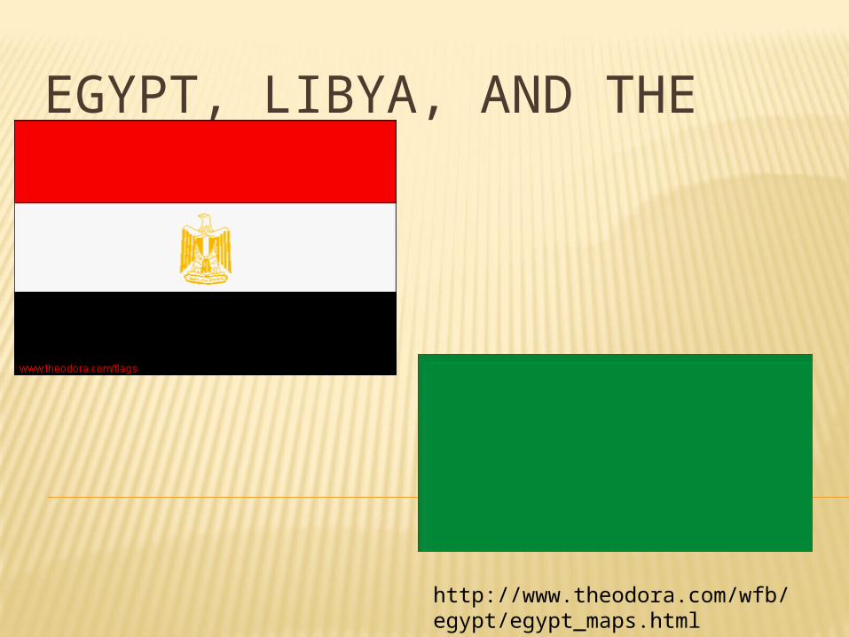
EGYPT, LIBYA, AND THE MAGHREB
http://www.theodora.com/wfb/egypt/egypt_maps.html
EGYPT’S LAND AND CLIMATE
Capital: Cairo Mostly desert Less than 4% of land is inhabited
Nile River supplies water Empties into Mediterranean, forming the Nile Delta

Silt (small particles of rich soil) was left behind when the Nile flooded
Made land rich for farming

Sinai Peninsula NE of Nile delta Suez Canal separates from the rest of Egypt
Canal passes from Med. To Red Sea

Desert areas Eastern Desert Libyan Desert covers 2/3 of country
Oasis: fertile or green area in a desert
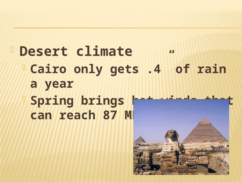
Desert climate Cairo only gets .4” of rain a year
Spring brings hot winds that can reach 87 MPH
EGYPT’S ECONOMY
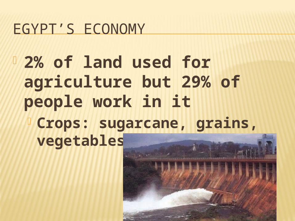
2% of land used for agriculture but 29% of people work in it Crops: sugarcane, grains, vegetables, fruits, cotton
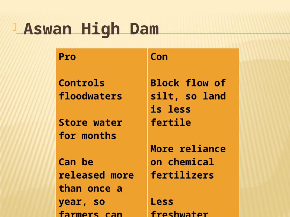
Aswan High Dam
Pro
Controls floodwaters
Store water for months
Can be released more than once a year, so farmers can harvest more crops
Con
Block flow of silt, so land is less fertile
More reliance on chemical fertilizers
Less freshwater reaches delta, so saltwater comes farther up the delta

Industry AHD provides hydroelectric power
Factories make food products, textiles, consumer goods
Tourism

THE EGYPTIANS
Became independent from GB in 1952
Republican government

Most people live within 20 miles of Nile
Fellahin: peasant farmers Sell extra food at bazaar (marketplace)

LIBYA
Sahara covers more than 90%
No permanent rivers Aquifers: underground rock layers that store large amounts of water

Mostly Muslim Speak Arabic Capital: Tripoli Dictatorship under Qaddhafi

TUNISIA (MAGHREB)
Mostly Muslim Speak Arabic Smallest country in N. Africa Became independent republic in 1956
Capital: Tunis
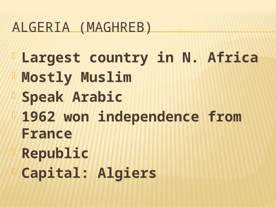
ALGERIA (MAGHREB)
Largest country in N. Africa Mostly Muslim Speak Arabic 1962 won independence from France
Republic Capital: Algiers
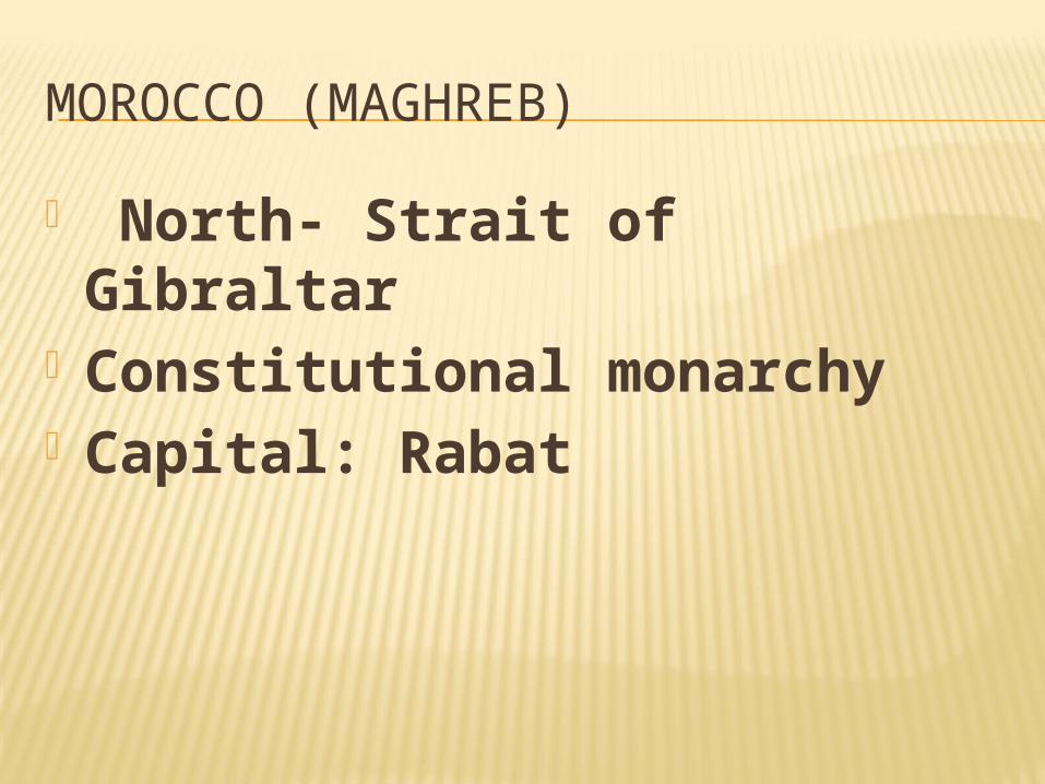
MOROCCO (MAGHREB)
North- Strait of Gibraltar Constitutional monarchy Capital: Rabat