interactions with the physical environment cgc1p unit 1
TRANSCRIPT

INTERACTIONS WITH THE PHYSICAL ENVIRONMENT
CGC1P Unit 1

The Big Question
• How does the physical environment affect where Canadians live?

The Smaller Questions
• In what ways is the physical geography of the area in which you live typical of all of Canada? In what ways is it different?
• How does Canada’s physical geography make Canada unique in the world?
• How do our patterns of physical geography contribute to where people live in Canada?

OH Canada!• China is Canada’s 4th largest and fastest growing source
of tourists (USA, Great Britain and France)
• The following posters promote trips to Canada from China, starting at about $4400 (about a 10 day trip)
• The trips offer outdoor and wilderness activities- like?
• Tourism ads from around the world typically show the wilder parts of the country


Advertisement from Germany

Oh Canada?• Are these images typical of the part of Canada where you
live?
• Do you think the images are typical of where most Canadians live?
• Why do travel companies use images like this to attract tourists to Canada?

Big Country, Small Population• Two types of Canada: 1) The True North 2) Urban places
where most Canadians live
• Canada has an odd distribution of population
• Canada has a range of landscapes:• natural ones (examples?)
• Land shaped by human behavior (examples?)
• This unit: landforms, climate, soils and natural vegetation
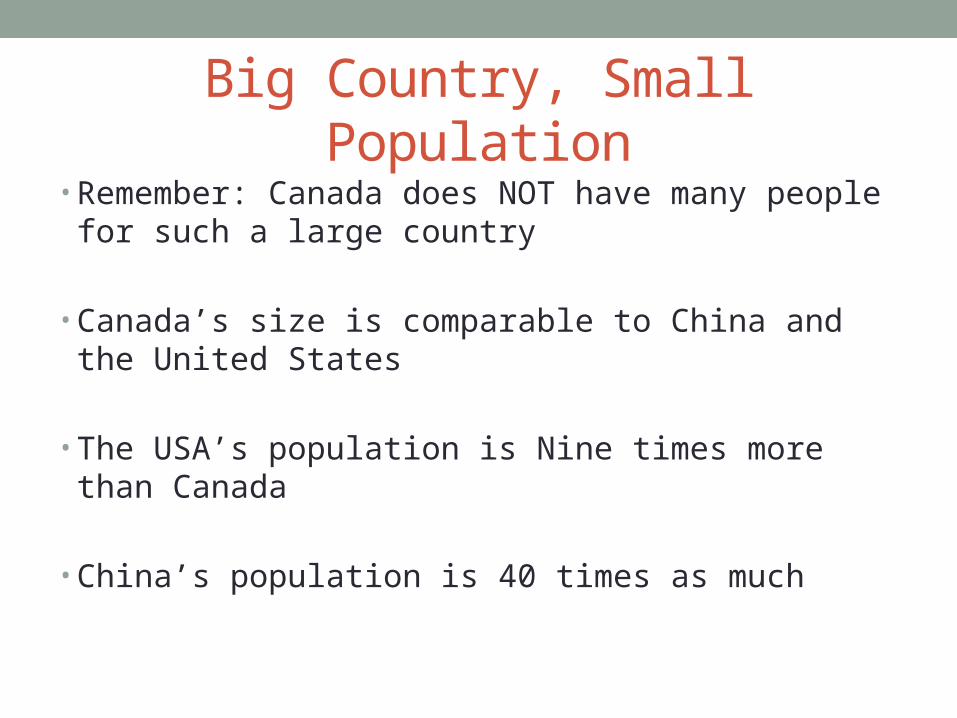
Big Country, Small Population• Remember: Canada does NOT have many people for
such a large country
• Canada’s size is comparable to China and the United States
• The USA’s population is Nine times more than Canada
• China’s population is 40 times as much


Big Country, Small Population• Therefore Canada has a small population density: the
number of people per square km.


Isodemographic Map• Most maps you will see simply indicate the actual territory
of an area (and its actual size will be shown on a scale)
• Isodemographic maps use a country’s population to determine the size of the country on the map
• The shape of the country is the same, it is just bigger or smaller based on how large its population is
• Most populated countries on Earth? How will they look?
