introducing arcgis online for organizations€¦ · desktop server . it also offers new...
TRANSCRIPT
Introducing ArcGIS Online for Organizations
Paul Ross and Bonnie Stayer
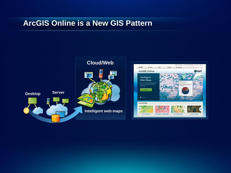
ArcGIS Online is a New GIS Pattern
Cloud/Web
Intelligent web maps
Server Desktop

It also offers new opportunities…
For Developers
For Education For Government
For Business For Partners
ArcGIS Online

Presentation Overview
ArcGIS Online Overview
Types of Information you can work with
What can different users do with ArcGIS Online
Organizational Roles and Demonstrations
Benefits to organizations
Q&A
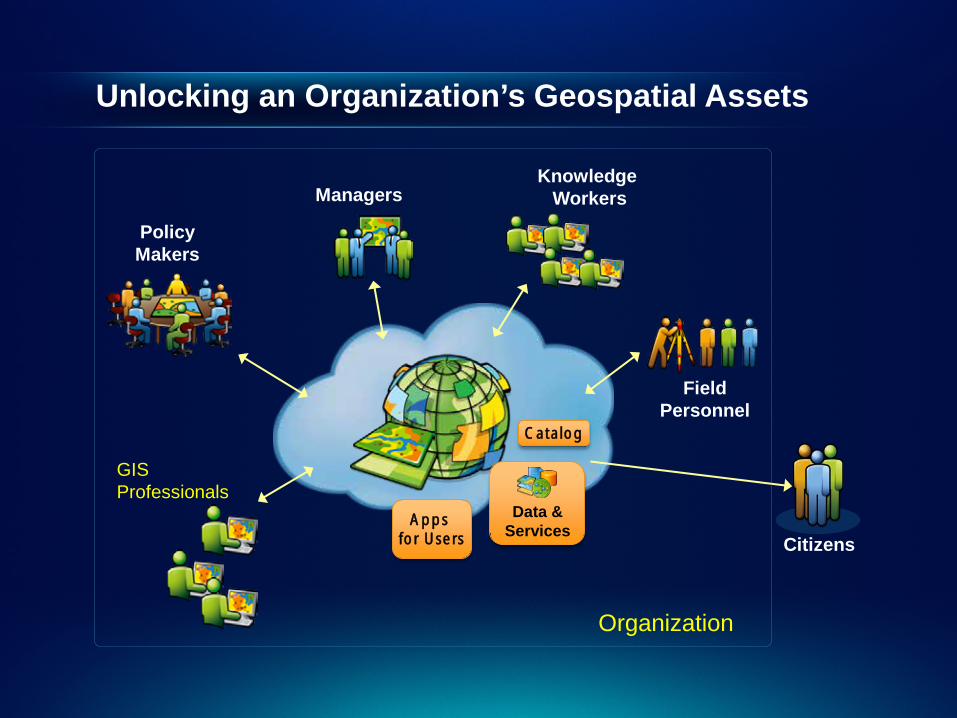
Unlocking an Organization’s Geospatial Assets
Knowledge Workers Managers
Policy Makers
Data & Services
Citizens
Catalog
Field Personnel
Organization
GIS Professionals
Apps for Users
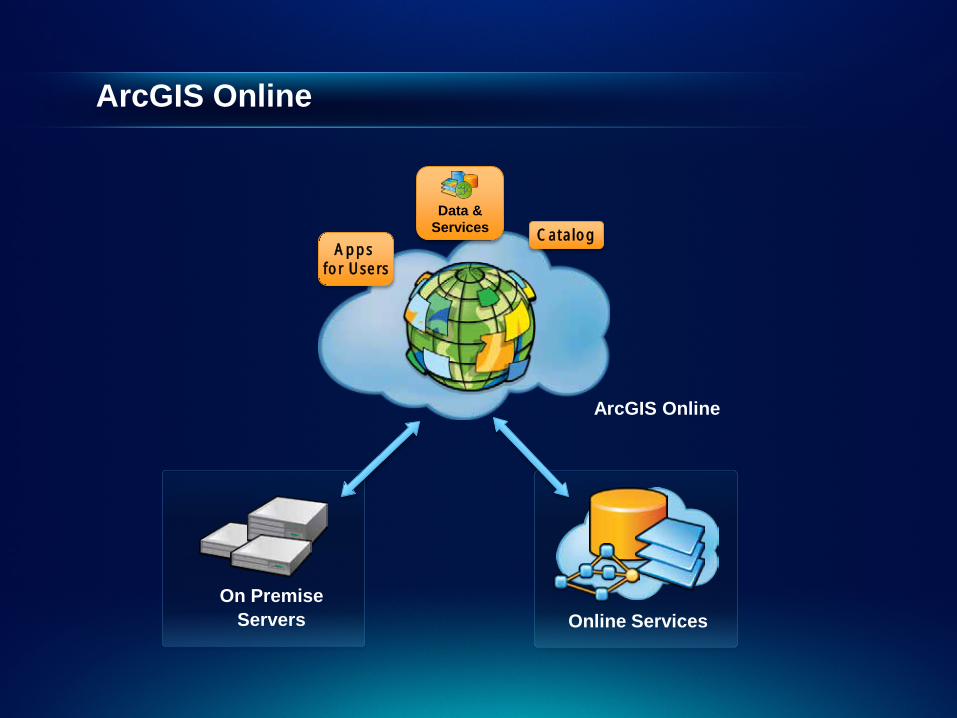
ArcGIS Online
ArcGIS Online
Online Services On Premise
Servers
Data & Services Catalog
Apps for Users
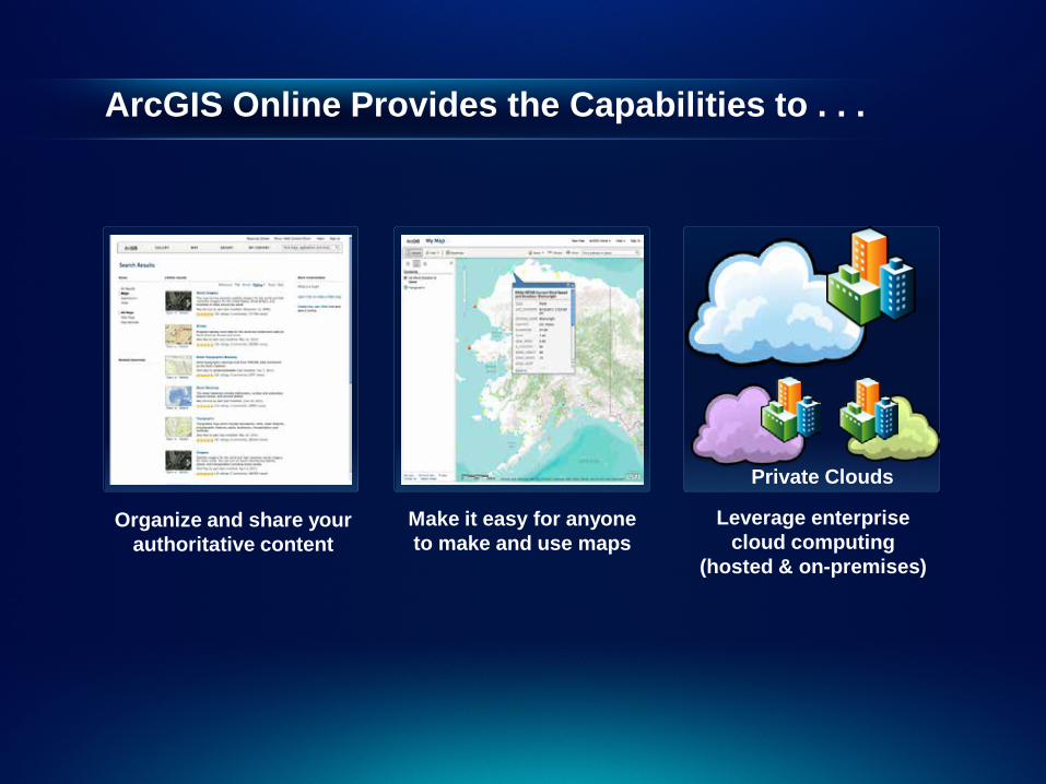
ArcGIS Online Provides the Capabilities to . . .
arcgis.com
Organize and share your authoritative content
Make it easy for anyone to make and use maps
Leverage enterprise cloud computing
(hosted & on-premises)
Private Clouds
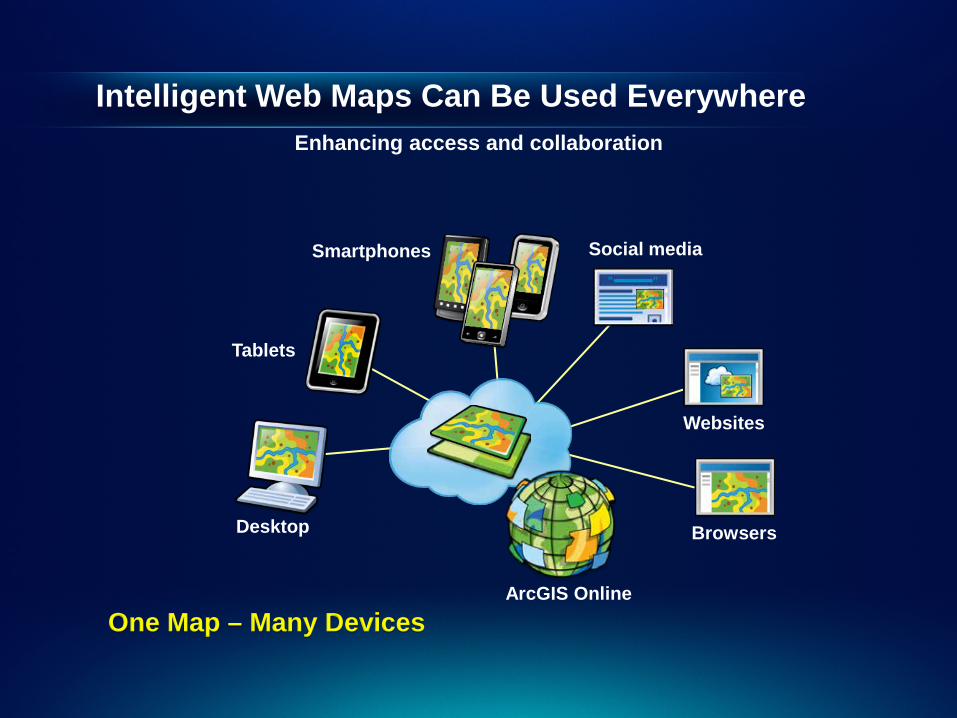
Intelligent Web Maps Can Be Used Everywhere Enhancing access and collaboration
One Map – Many Devices
Desktop
Tablets
Smartphones
Websites
ArcGIS Online
Browsers
Social media
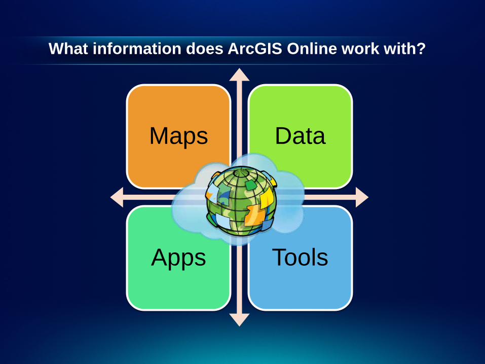
What information does ArcGIS Online work with?
Maps Data
Apps Tools
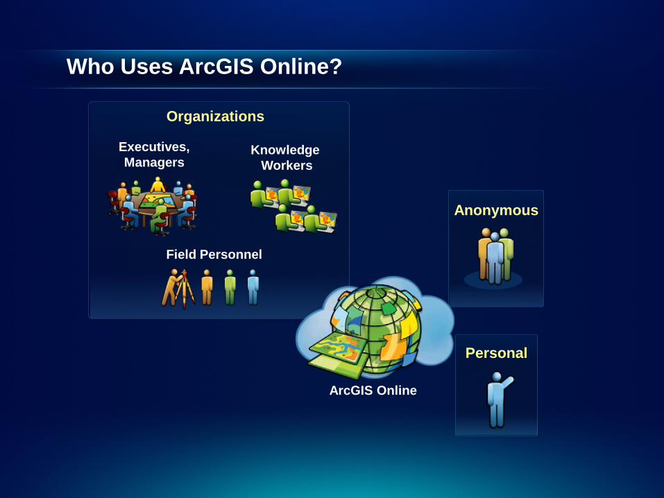
Who Uses ArcGIS Online?
Knowledge Workers
Field Personnel
Executives, Managers
Anonymous
ArcGIS Online
Organizations
Personal
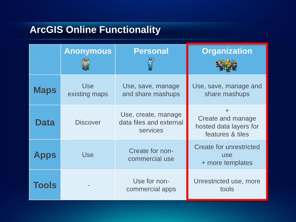
ArcGIS Online Functionality
Anonymous Personal Organization
Maps Use existing maps
Use, save, manage and share mashups
Use, save, manage and share mashups
Data Discover Use, create, manage data files and external
services
+ Create and manage
hosted data layers for features & tiles
Apps Use Create for non-commercial use
Create for unrestricted use
+ more templates
Tools - Use for non-commercial apps
Unrestricted use, more tools
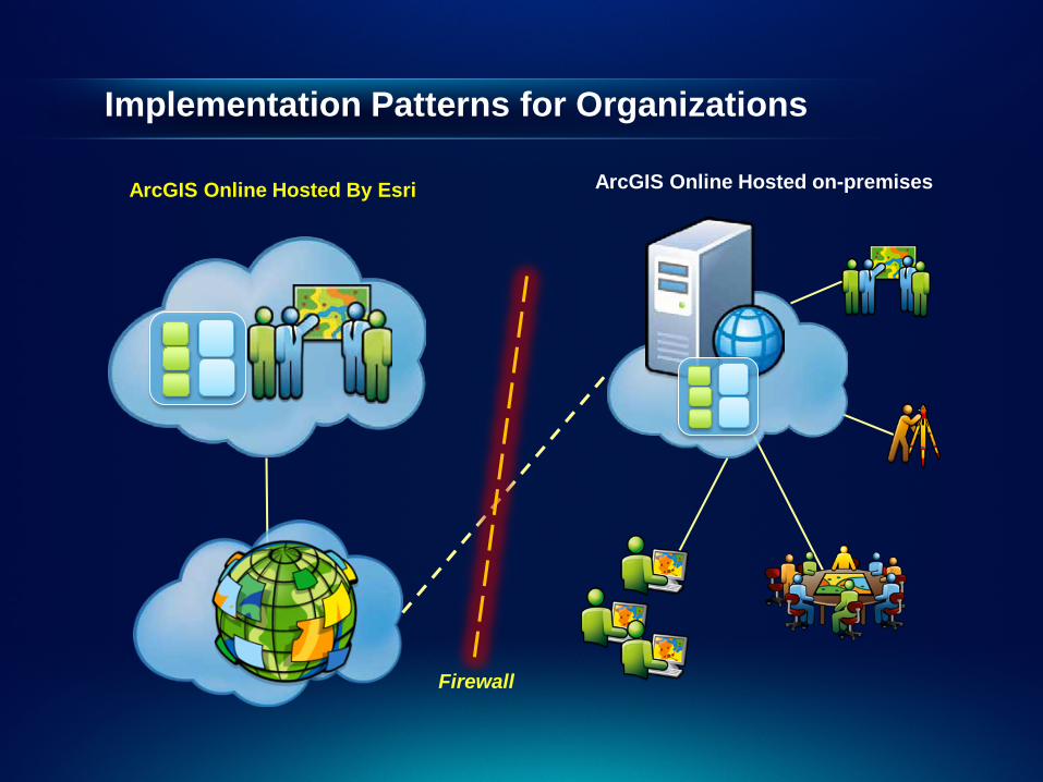
Implementation Patterns for Organizations
Firewall
ArcGIS Online Hosted on-premises ArcGIS Online Hosted By Esri

Organizational Roles
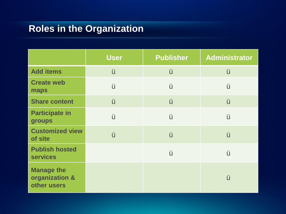
Roles in the Organization
User Publisher Administrator
Add items ü ü ü Create web maps ü ü ü
Share content ü ü ü Participate in groups ü ü ü
Customized view of site ü ü ü
Publish hosted services ü ü
Manage the organization & other users
ü
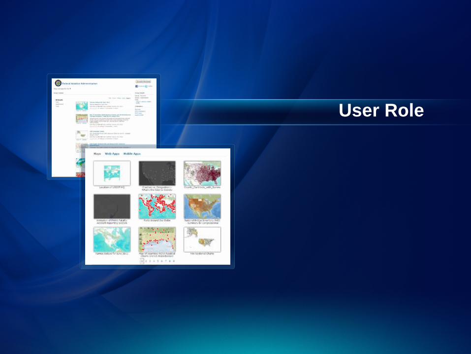
User Role
Publishing
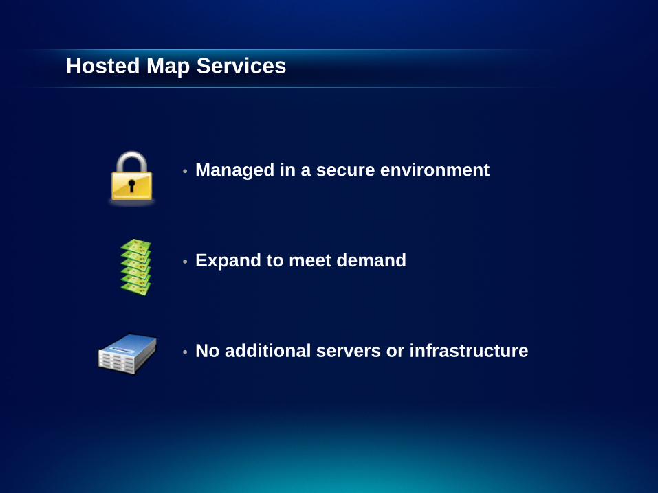
Hosted Map Services
• Managed in a secure environment
• Expand to meet demand
• No additional servers or infrastructure
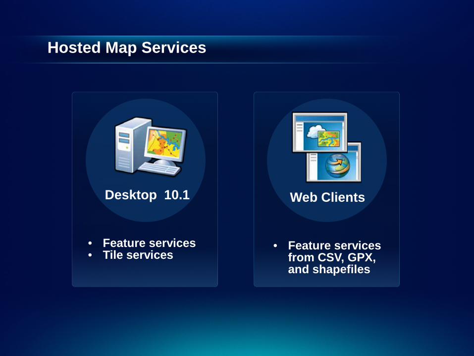
Hosted Map Services
Desktop 10.1
• Feature services • Tile services
Web Clients
• Feature services from CSV, GPX, and shapefiles
Publisher Role
Administration
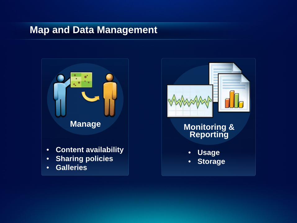
Map and Data Management
Monitoring & Reporting
• Content availability • Sharing policies • Galleries
• Usage • Storage
Manage

User Administration
Your Organization
ArcGIS Online
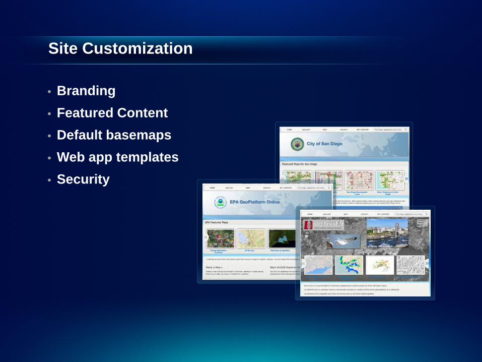
Site Customization
• Branding • Featured Content • Default basemaps • Web app templates • Security
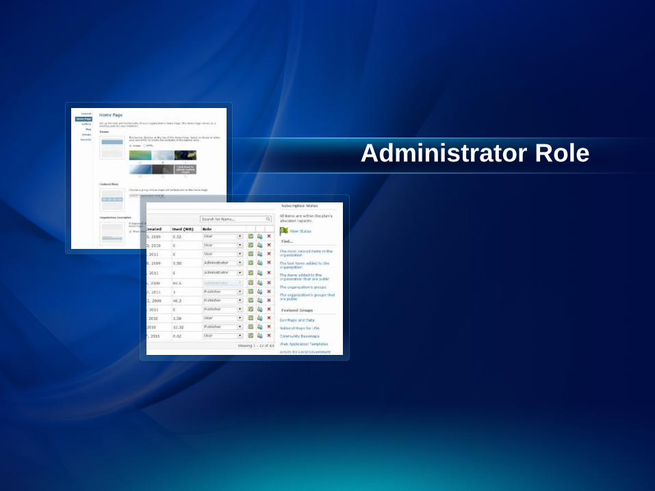
Administrator Role
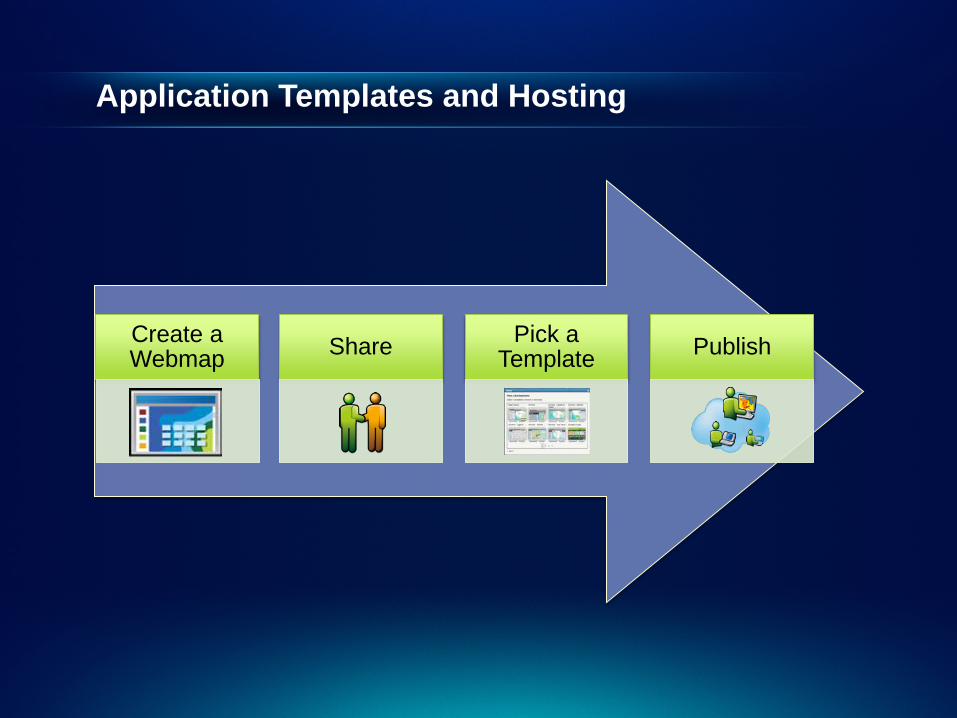
Create a Webmap Share Pick a
Template Publish
Application Templates and Hosting
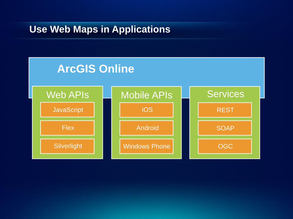
Use Web Maps in Applications
ArcGIS Online
JavaScript
Web APIs
Flex
Silverlight
iOS
Mobile APIs
Android
Windows Phone
REST
Services
SOAP
OGC

Geocollaboration for Organizations Making them easily accessible and integrated
ArcGIS Online
Data & Services
Catalog
Apps for Users
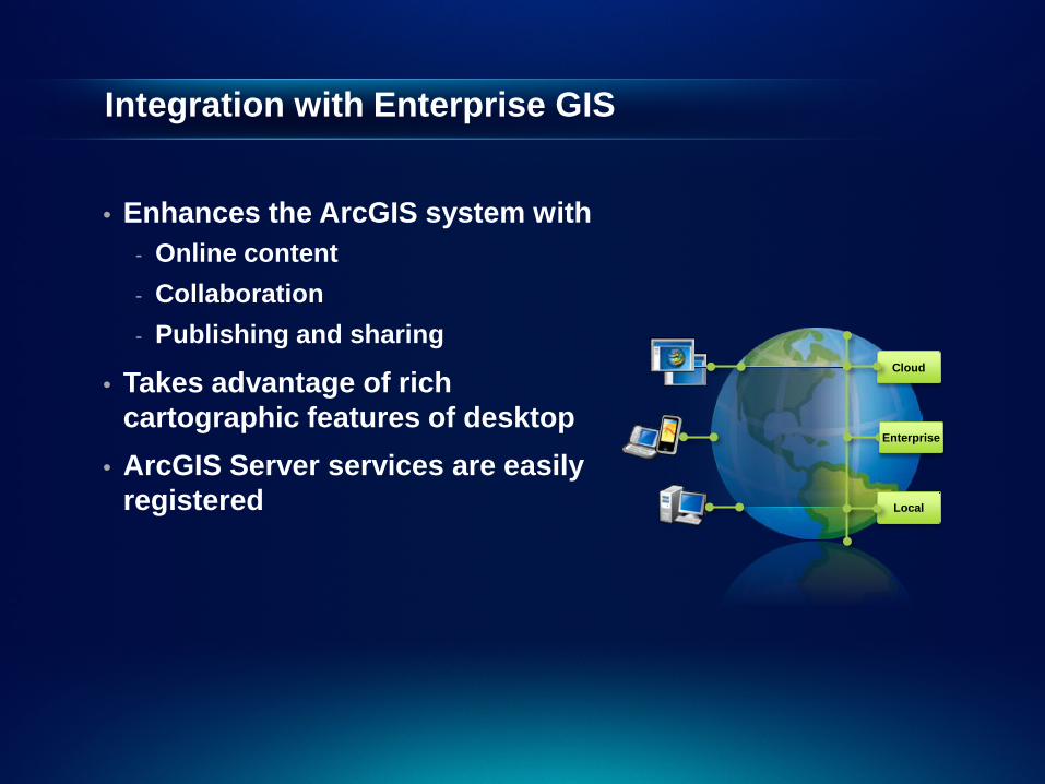
Integration with Enterprise GIS
• Enhances the ArcGIS system with - Online content - Collaboration - Publishing and sharing
• Takes advantage of rich cartographic features of desktop
• ArcGIS Server services are easily registered
Cloud
Local
Enterprise
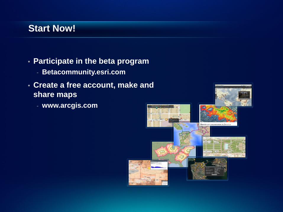
Start Now!
• Participate in the beta program - Betacommunity.esri.com
• Create a free account, make and share maps
- www.arcgis.com
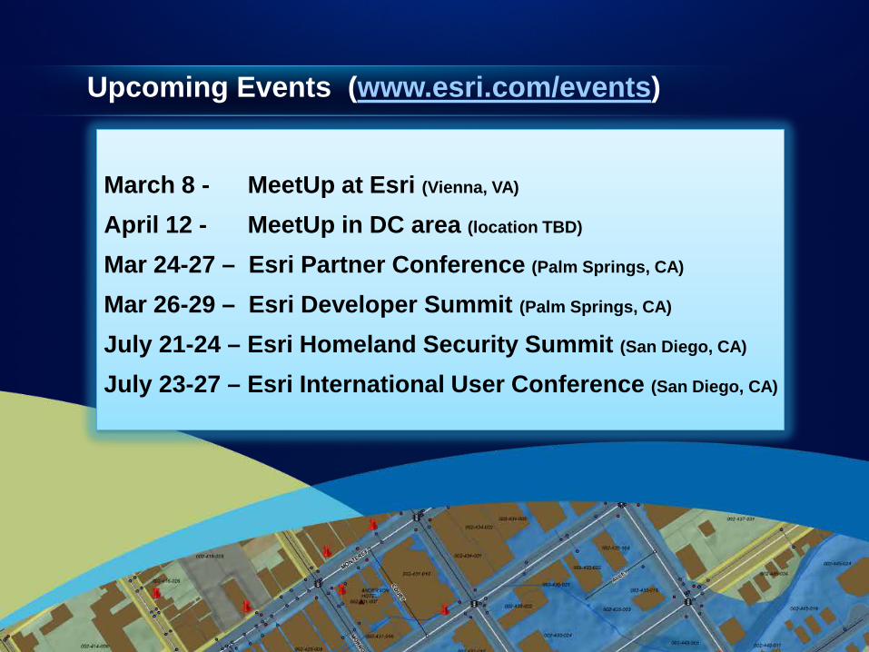
March 8 - MeetUp at Esri (Vienna, VA)
April 12 - MeetUp in DC area (location TBD)
Mar 24-27 – Esri Partner Conference (Palm Springs, CA)
Mar 26-29 – Esri Developer Summit (Palm Springs, CA)
July 21-24 – Esri Homeland Security Summit (San Diego, CA)
July 23-27 – Esri International User Conference (San Diego, CA)
Upcoming Events (www.esri.com/events)
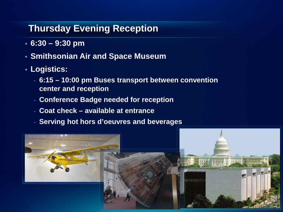
Thursday Evening Reception • 6:30 – 9:30 pm • Smithsonian Air and Space Museum • Logistics:
- 6:15 – 10:00 pm Buses transport between convention center and reception
- Conference Badge needed for reception - Coat check – available at entrance - Serving hot hors d’oeuvres and beverages

.
Friday Closing Session and Hosted Lunch
• Join conference attendees for lunch and closing session • 11:30 am – 1:30 pm • Ballrooms A-C, Third Level • Closing Speaker – Chris Smith, United States Department
of Agriculture • Wrap-up and request for feedback with Jack Dangermond
of closing session.
.
Thank You
Please complete session evaluation form