map of the grand banks the grand banks the grand banks are among the world's largest and...
TRANSCRIPT


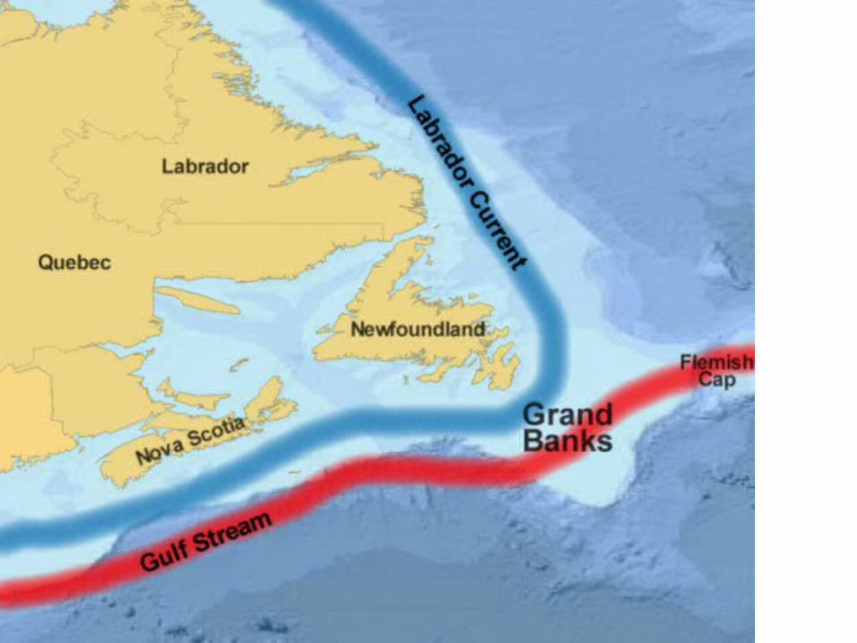
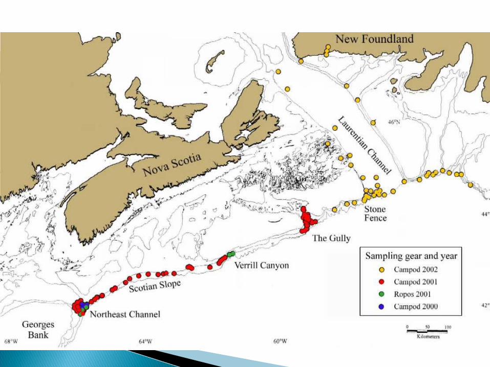
Map of the grand banks
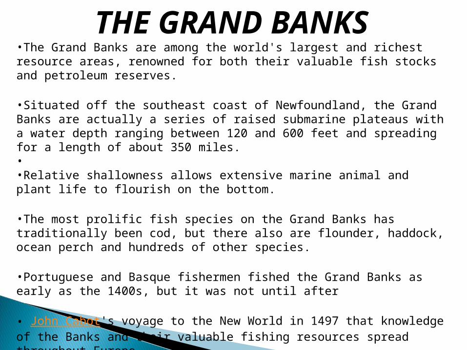
THE GRAND BANKS•The Grand Banks are among the world's largest and richest resource areas, renowned for both their valuable fish stocks and petroleum reserves.
•Situated off the southeast coast of Newfoundland, the Grand Banks are actually a series of raised submarine plateaus with a water depth ranging between 120 and 600 feet and spreading for a length of about 350 miles.• •Relative shallowness allows extensive marine animal and plant life to flourish on the bottom.
•The most prolific fish species on the Grand Banks has traditionally been cod, but there also are flounder, haddock, ocean perch and hundreds of other species.
•Portuguese and Basque fishermen fished the Grand Banks as early as the 1400s, but it was not until after
• John Cabot's voyage to the New World in 1497 that knowledge of the Banks and their valuable fishing resources spread throughout Europe.


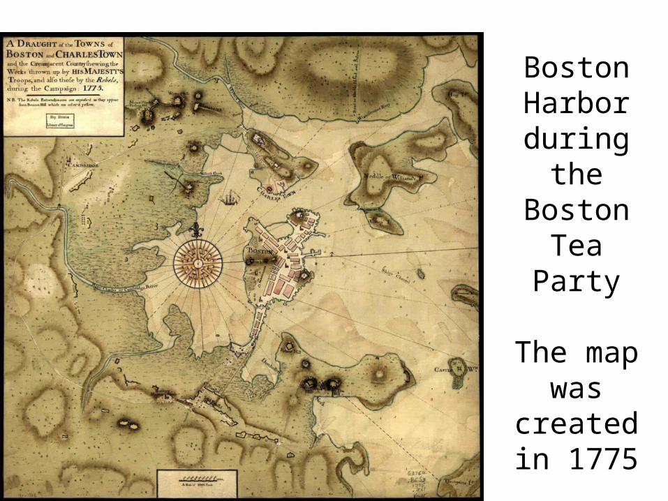
Boston Harbor during
the Boston
Tea Party
The map was
created in 1775

Privateering encompassed two levels of participation. A Letter of Marque authorized armed merchant ships to challenge any likely enemy vessel that crossed its path during the course of a commercial voyage. A Privateer Commission was issued to vessels, called privateers or cruisers, whose primary objective was to disrupt enemy shipping. The ideal target was an unarmed, or lightly armed, commercial ship.
With the passage of an act on March 23, 1776, the Continental Congress formalized the commissioning process, and uniform rules of conduct were established. Owners of privateers had to post monetary bonds to ensure their proper conduct under the regulations.
Although the documentation is incomplete, about 1,700 Letters of Marque, issued on a per-voyage basis, were granted during the American Revolution. Nearly 800 vessels were commissioned as privateers and are credited with capturing or destroying about 600 British ships.

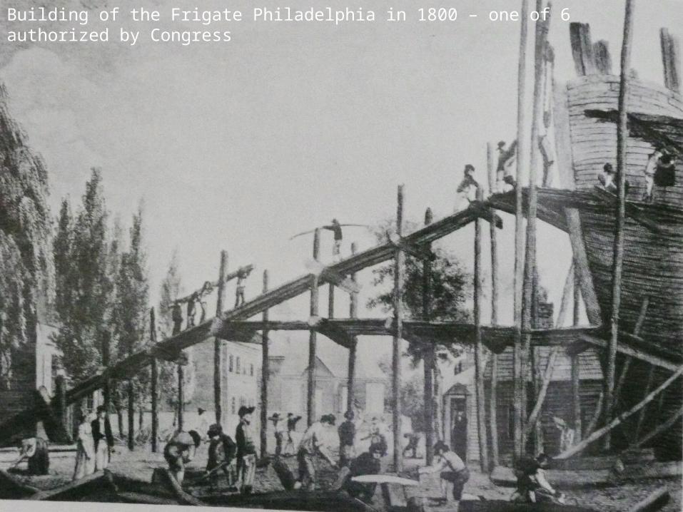
Building of the Frigate Philadelphia in 1800 – one of 6 authorized by Congress

The construction of fishing vessels became less and the entire focus of the Colonial Shipping Industry was diverted towards making merchant and war vessels. Different types of merchant and war ships were constructed during the colonial era, but all these ships had a basic design which consisted of three main components – hull, mast and rigging. Though hull was the most important part, the ships were defined by the number and type of sail and mast they had. On this basis, the main types of Colonial ships were:
Schooners: A ship with two or more masts with sails at fore and aft sides.
Shallots: A small and light open boat with sails as well as oars Sloops: A ship having a single sail as the main sail and other
smaller sails or jig. Yawls: A multipurpose boat used for fishing, trading, traveling,
and war, yawls had a massive mast at the bow and a smaller one near the stern.
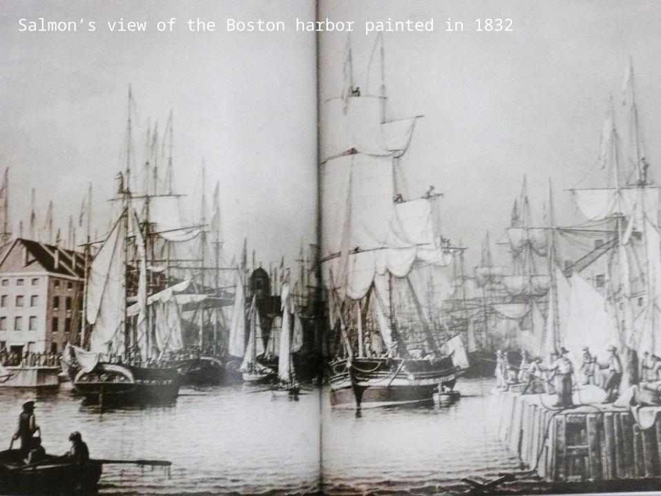
Salmon’s view of the Boston harbor painted in 1832
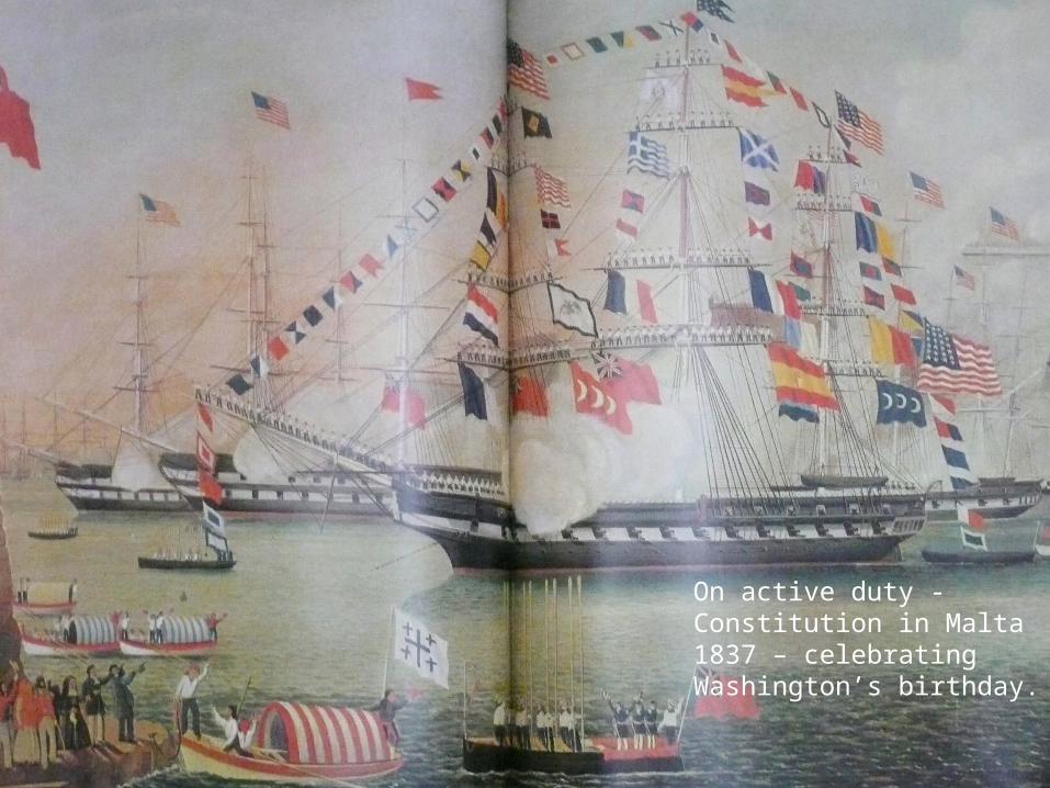
On active duty - Constitution in Malta 1837 – celebrating Washington’s birthday.

Commodore John Paul Jones and in the panel at the bottom
the engagement between the Bonhomme
Richard and the Serapis

the engagement between the Bonhomme Richard and the Serapis
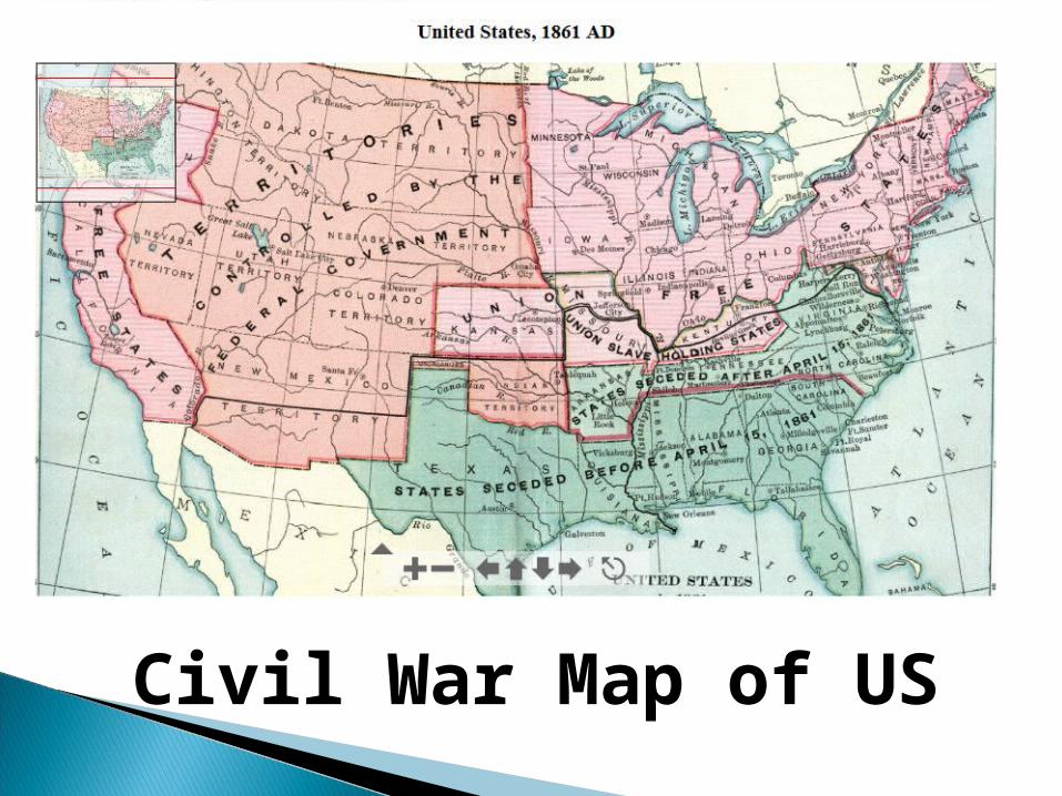
Civil War Map of US

John Ericsson’s ironclad Monitor changed the course of naval history with the turret.

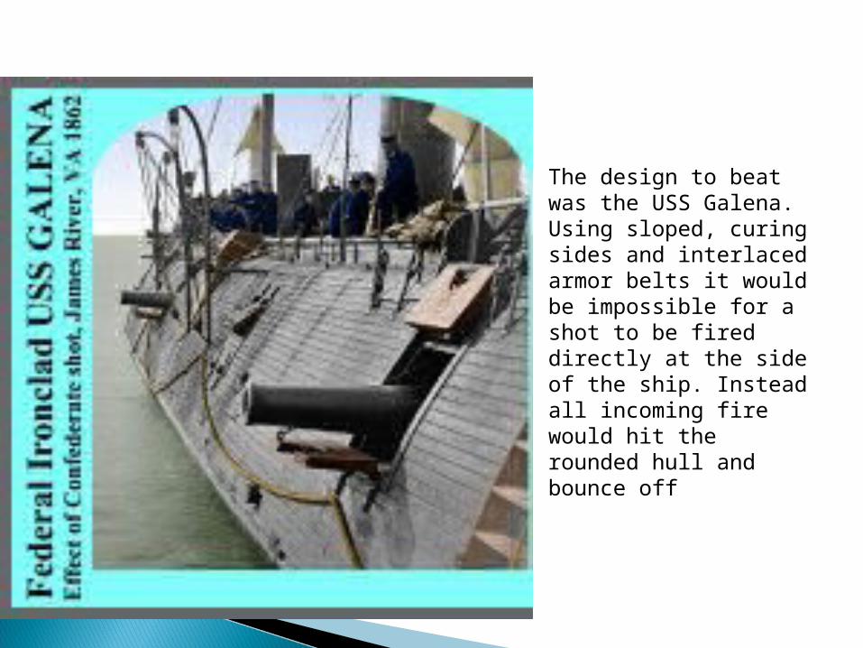
The design to beat was the USS Galena. Using sloped, curing sides and interlaced armor belts it would be impossible for a shot to be fired directly at the side of the ship. Instead all incoming fire would hit the rounded hull and bounce off

Officer and crew of the
Union ironclad
Hunchback. About one in four seamen
is black.

Steam and sail met at New Orleans in 1851
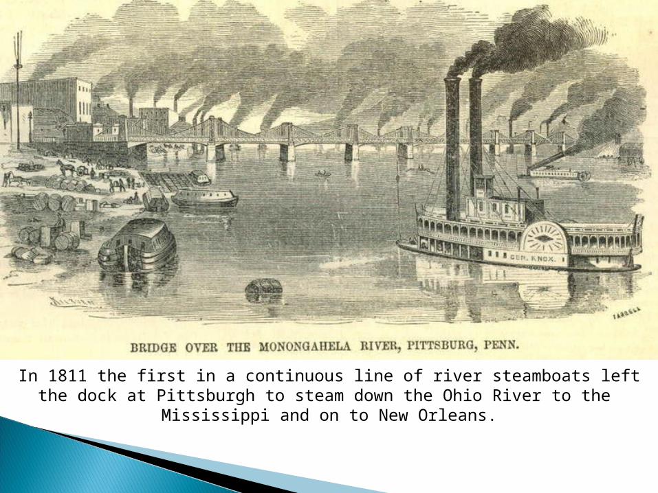
In 1811 the first in a continuous line of river steamboats left the dock at Pittsburgh to steam down the Ohio River to the
Mississippi and on to New Orleans.