map projections geography 20 – geographic issues of the 21 st century
TRANSCRIPT

Map ProjectionsGeography 20 – Geographic Issues
of the 21st Century

There many map types… Navigational General Purpose, Illustrated… Regional, Physical, Geological, Climatic… Topographical, Political, Fragile Environment… Natural Resource, Transportation, Trade… Population Distribution, Urbanization,
Manufacturing… …and a plethora of others

As you can imagine maps help us in many ways…
An example of an illustrated map

Maps in History Maps have been a part of the human story for a
long time (maybe 8,000 years - nobody knows exactly, but longer than written words).
The earliest known map is currently a wall painting of the ancient Turkish city of Çatal Höyük
It has been dated to the late 7th millennium BCE.

Çatal Höyük for interest sake…
Excavations at the South Area of Çatal Höyük
On-site restoration of a typical Çatal Höyük interior

Çatal Höyük for interest sake…

Maps in History
World map from the middle ages… notice the location of the major meridian.
Why would it be noted here?
What is the special significance?
Where is the major median or Prime Meridian on the maps of today?

Maps in History In the Age of Exploration, explorers and
traders needed maps for finding trade locations and many other navigational, economical and political purposes.
Is this the same today? Have maps changed during the course of
your life?

What is a map? Turn to page 21 in the text book, and
complete the following: Define the word map Examine fig. 2-4 and List and describe the basic
features of a map (6 in total).

Imagine that you have drawn a map of the world onto an orange. This represents the world as a 3D projection (like a globe).

Now imagine peeling the map off and flattening it onto a 2D surface. The problem is distortion. Shape, scale, size, true area on a 2D map surface have issues.
It’s tough to be 2D in a 3D world…

This is the problem of trying to project a 3D map onto a 2D surface…
Look at all the
distortions!
How can people use
maps accurately?

Map projections try to deal with this issue in the best way that the creator of maps can figure out. The Dymaxion map of the
Earth is a projection of a global map onto the surface of a polyhedron
It can then be unfolded to a net and flattened to form a two-dimensional map
It retains most of the relative proportional integrity of the globe map
It was created by Buckminster Fuller, and patented by him in 1946

There are many other map projections that exist…
Map makers have tried to deal with the problems of projecting a 3D concept onto a 2D surface.
The following slides will present some example of how these people have tried to do a good job of making maps…

Mercator
The Mercator projection was developed in 1569 by Gerardus Mercatorr as a navigation tool. The straight lines made it easier to navigate.
Why is it culturally and academically problematic to show this type of distorted map?


Mercator
The Mercator Map has been called, "the evil Mercator" projection.
Why do you think it has been called evil by some social critics?
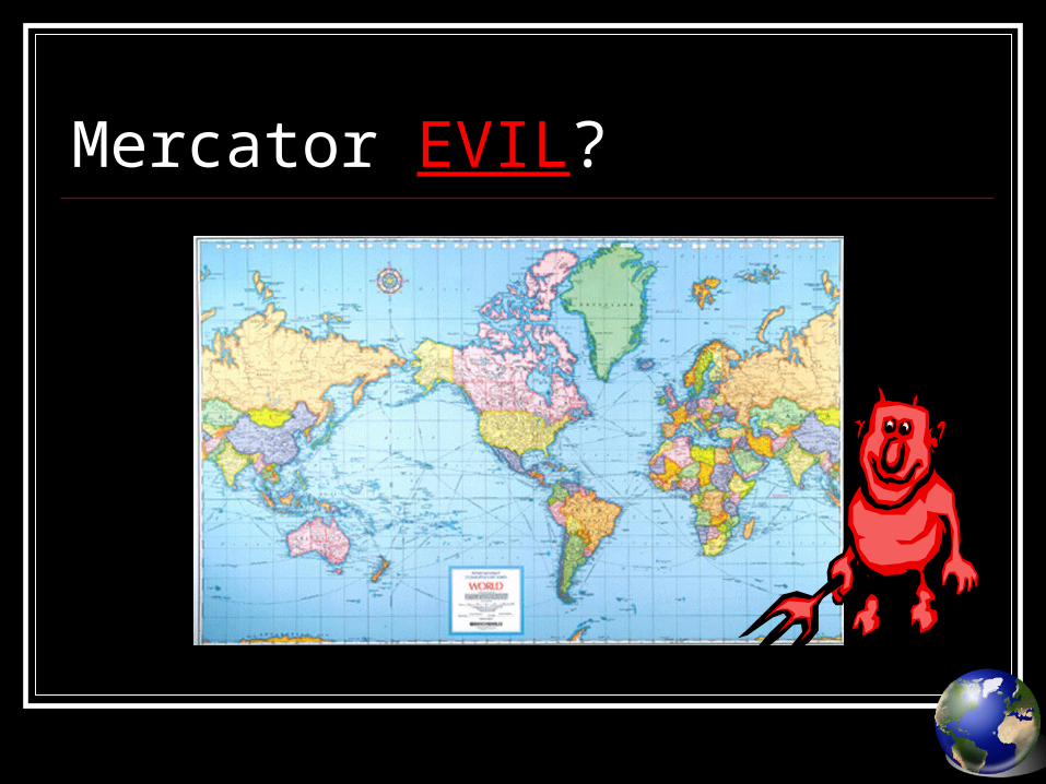
Mercator EVIL?
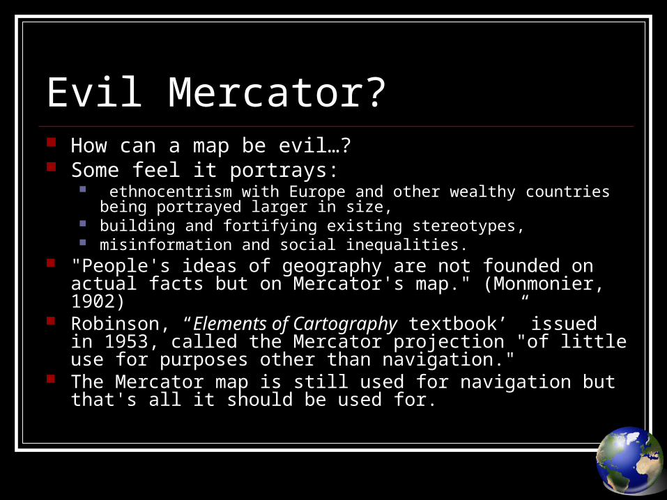
Evil Mercator? How can a map be evil…? Some feel it portrays:
ethnocentrism with Europe and other wealthy countries being portrayed larger in size,
building and fortifying existing stereotypes, misinformation and social inequalities.
"People's ideas of geography are not founded on actual facts but on Mercator's map." (Monmonier, 1902)
Robinson, “Elements of Cartography textbook’” issued in 1953, called the Mercator projection "of little use for purposes other than navigation."
The Mercator map is still used for navigation but that's all it should be used for.

Robinson Projection

Robinson Projection Robinson,
created his own projection
He attempted to deal with some of the issues that were present in other map projections.

Gall-Peters Projection

Gall-Peters projection The Gall-Peters projection shows areas of equal size on the globe
as also equal size on the map.
Since much of the underdeveloped world lies in or near the tropics, those countries appear smaller on a Mercator, and therefore, in Peters' theory, less significant.
By using his "new" projection, disadvantaged nations could be restored to their rightful proportions.
This argument was picked up by many educational and religious bodies, leading to adoption of the Gall-Peters projection amongst some socially concerned groups.

Gall-Peters projection – A Variation

Winkel Tripel Projection

Winkel Tripel Projection The Winkel's Tripel projection is a
map projection developed to show a map of the round Earth on flat paper with minimal distortion.
It was devised by the cartographer Oswald Winkel as a modification of another projection.
Tripel is a German term meaning a combination of three elements.
Winkel choose the name Tripel because he had developed a compromise projection; it does not eliminate area, direction or distance distortions; rather, it tries to minimize the sum of all three.

Who said that north must be up?

To do… Turn to page 26 in the textbook and use the
information from the power point and the textbook pages 18 -25 to answer the following question: Check Your Understanding #s 1-8 Analyze and Apply #s 12