marvin land surveying -...
TRANSCRIPT
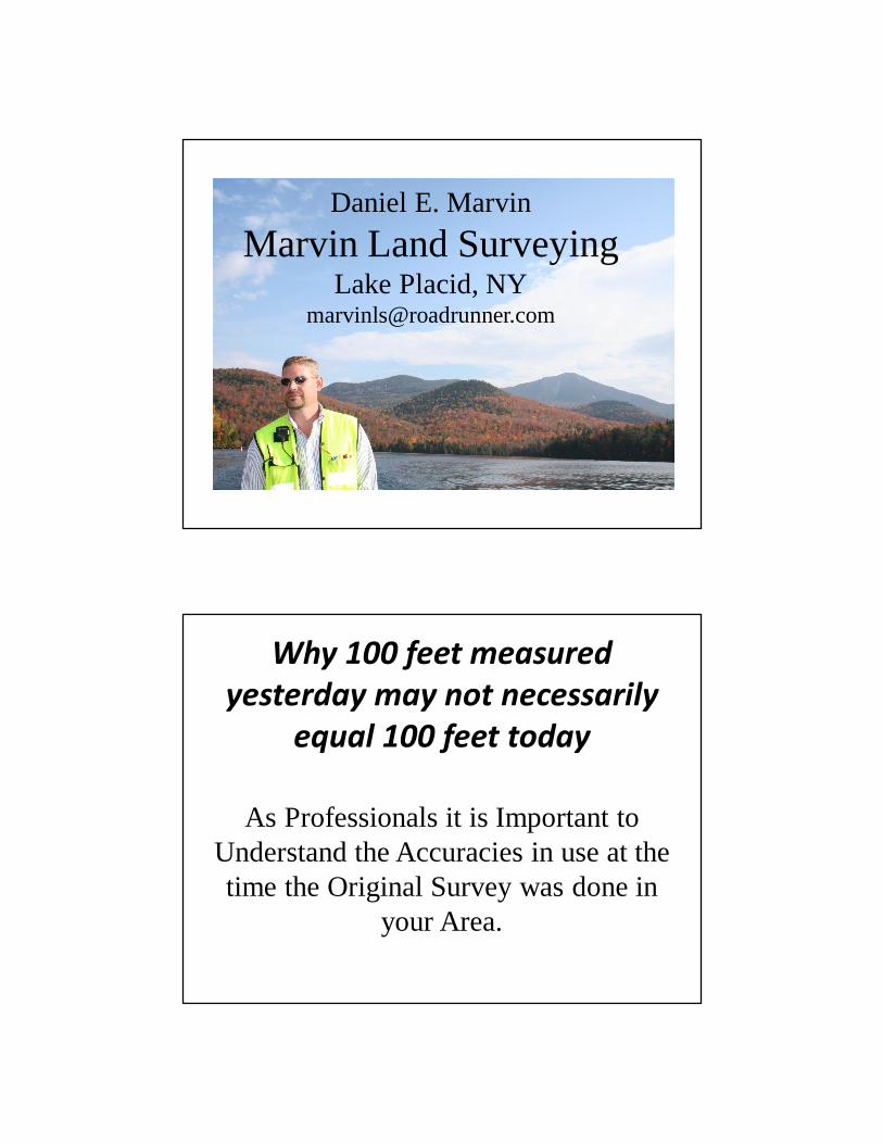
Daniel E. MarvinMarvin Land Surveying
Lake Placid, [email protected]
Why 100 feet measured yesterday may not necessarily
equal 100 feet today
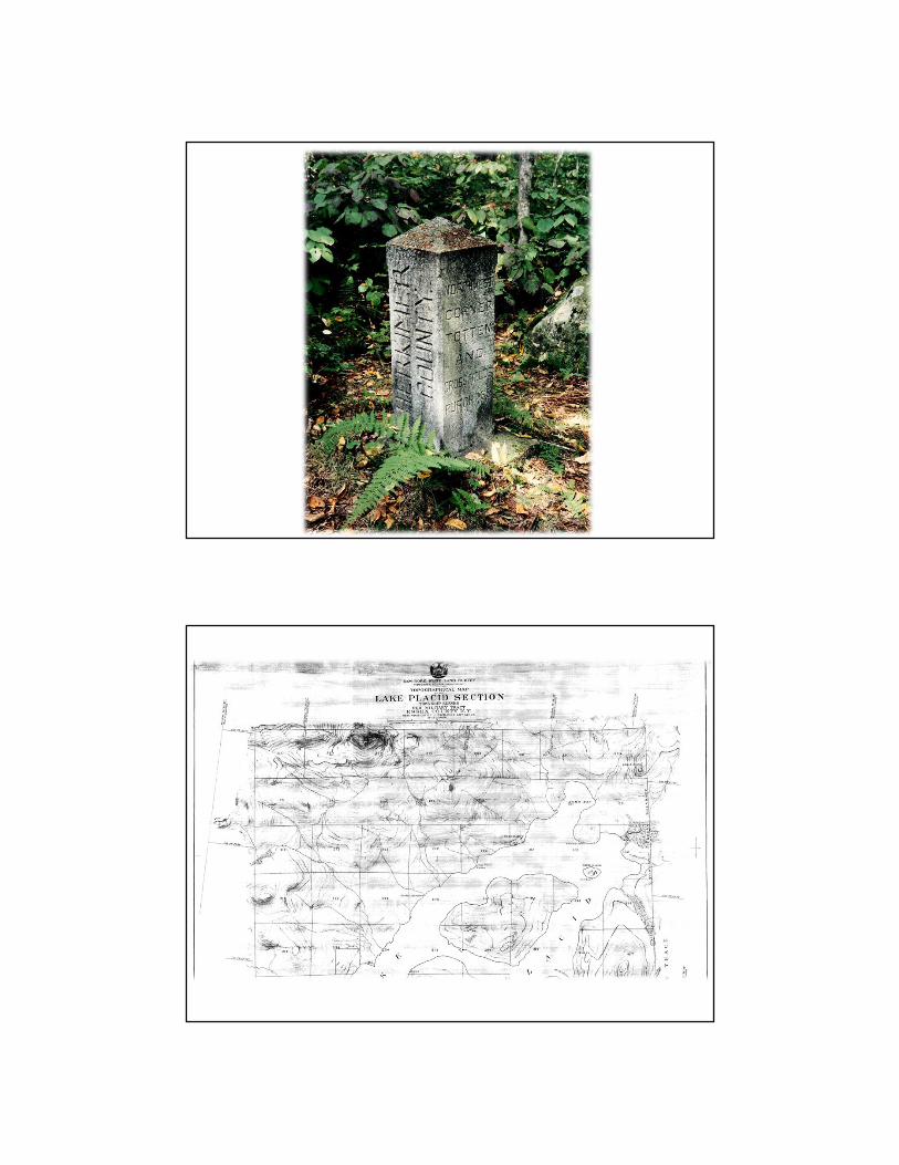
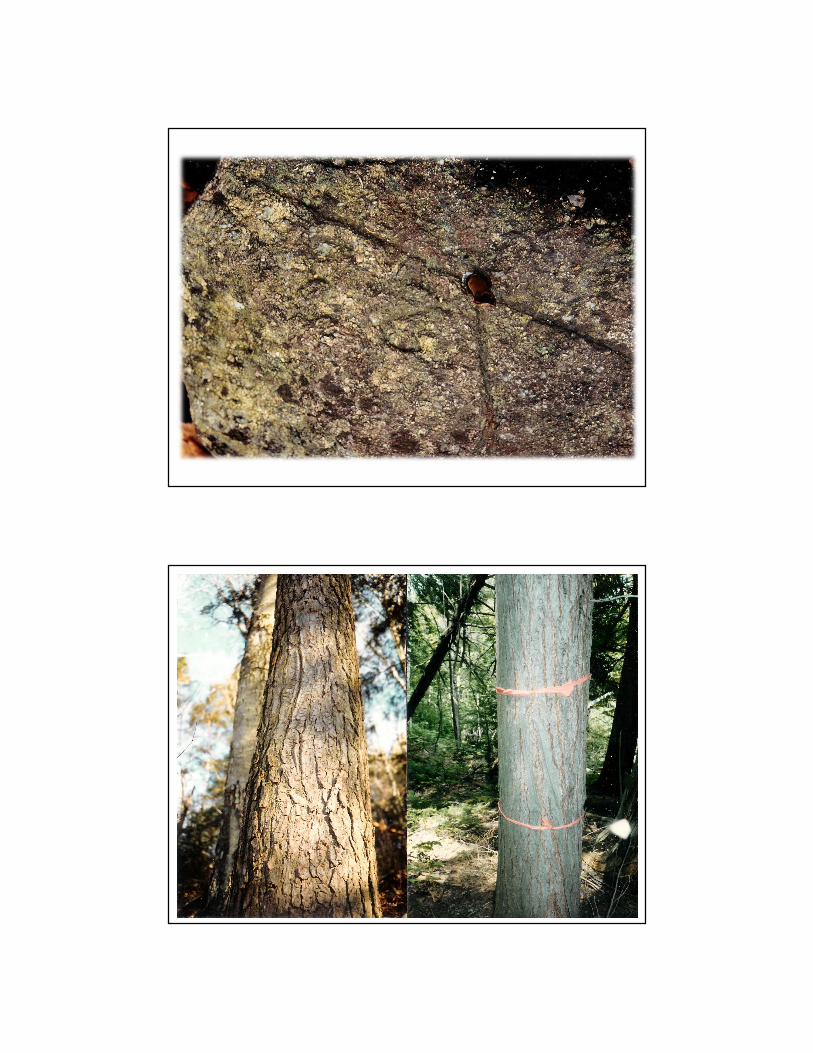
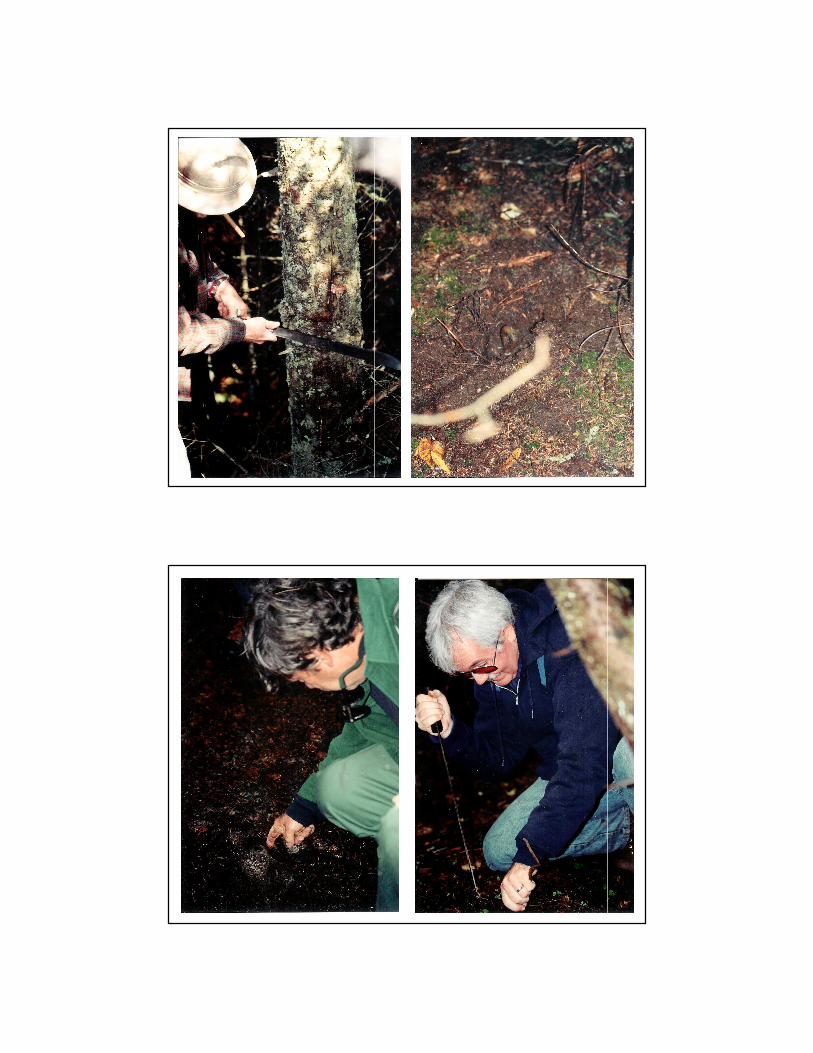
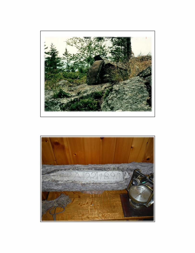
As Professionals it is Important to Understand the Accuracies in use at the time the Original Survey was done in
your Area.
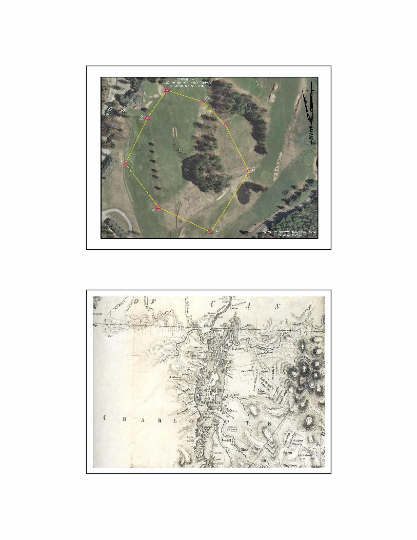
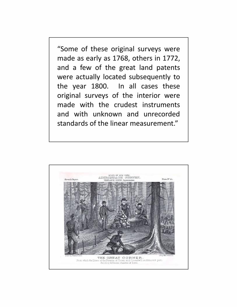
“Some of these original surveys weremade as early as 1768, others in 1772,and a few of the great land patentswere actually located subsequently tothe year 1800. In all cases theseoriginal surveys of the interior weremade with the crudest instrumentsand with unknown and unrecordedstandards of the linear measurement.”
Dan’s Thoughts
The Survey of “John’s Little Acre”By L. M. Powell, L.S., Hamilton, MontanaIn the beginning, God created Heaven and Earth – and the greatflood and the Ice Age passed, and there were stone and soil andminerals on John’s little acre.In 2500B.C., by a strange mutation, surveyors were created and theirwork became a profession. At the time, doctors were still rattlingbones and chanting to cure their patients, and lawyers were metingout justice on the “eye-for-an-eye, tooth-for-a-tooth” principle. Andeach Spring the Nile destroyed the survey markers and they had tobe remeasured so taxes could be levied, and trees grew on John’slittle acre.Years passed and in England, the common law was established andit was good – it was horse sense. To fulfill the claim of landownership, metes and bounds descriptions were prepared such as:Beginning on the bridge cross Spring Creek at the west edge of thetown of Devonshire, England; thence north along the center ofSpring Creek to the stone fence along Jones’ south line: thence west
along said stone fence to a lone oak tree ….and once each year the people of the village walked the propertylines and each owner performed a ritual which laid claim to his land,and flowers grew on John’s little acre.The compass was invented, the world became round, sailorsnavigated, America was discovered, the Mayflower sailed, andbuffalo grazed on John’s little acre.The Colonies were formed and wars were fought; Washington andLincoln were surveyors; and birds sang on John’s little acre.In 1803, the Louisiana Purchase was made which placed a value of4 cents on John’s little acre. The sectionalized system of LandSurveying had been in use for some time when the surveyor enteredthe Bitterroot Valley in 1872 and determined that Section23, t. 6N.,R. 21 W., P.M.M. included John’s little acre.And stones were set and witnessed every half mile around Section23 and the Government said:
This is good and proper, and these markers shall govern theperimeter and the aliquot parts of Section 23regardless of errors inthe original measurement.and the SW1/4 of Section 23 included John’s little acre.In the year 1890 a homestead was patented to a man named Billwhich covered the SW1/4 of Section 23, and Bill thought he ownedexactly 160 acres bounded by lines bearing due north, south, eastand west, but he didn’t; the acreage was short and the lines crooked,but, it still included John’s little acre.Now John was a friend of Bill’s, so when he moved to the BitterrootValley in 1895, Bill deeded him an acre of land for his homesite.The two men agreed on the boundaries, paced the distances, anddrove buggy axles on the four corners. They then estimated that theSW corner was about 200 yards NE of the SW corner of Section 23,and a point of beginning was established for John’s little acre.In 1898 John to get married and mortgaged his acre to acquire fundsto improve the house. The bank required a survey of the property,so a man with a compass and chain was hired. Due to the deposit of
Iron ore near the SW corner of Section 23, his bearings were erratic,and since the area was brushy, his distances left something to bedesired, but the buggy axles were there and still marked the trueboundaries of John’s little acre.By 1910 the orchard boom was on. The area had been cleared andplanted to apple trees. The bearing trees had been cut and thesection corner stone covered with soil. An orchard developmentcompany had purchased Bill’s 160 acres and directed their surveyorto locate the exception which was John’s little acre.The surveyor, assuming that the section corner was lost, found thefour buggy axles and using the erroneous data from the previoussurvey, set a pipe to mark the SW corner of Section 23. Using atransit and steel tape, he retraced the angles and distances betweenthe four buggy axles and prepared a new description (the third) forJohn’s little acre.During construction of a county road in 1920, the cornerstone on the
SW corner of Section 23 was found and reset beneath the roadsurface. In 1921 the four buggy axles were tied to the true sectioncorner and a new description (the fourth) prepared for John’s littleacre.In 1960 a theodolite was used, and the bearings corrected slightly onJohn’s little acre. In 1970, an electronic measuring device was usedand the distances corrected slightly on John’s little acre.And so it came to pass that by 1970, John’s little acres hadnumerous descriptions but it had in fact never changed. The trueboundaries are still marked by four buggy axles, the bearings anddistances bore little resemblance to the original deed, the acreagewas actually 1.265 acres, but it was still John’s little acre.
from the Conn. Assoc. of L.S., Inc. and from VSLS 1982