mining trails guide (includes large map) - cornwall council
TRANSCRIPT

Key to symbolsWhat to see and do on the mining trails
Use this map to plan your route, see where to park and find facilities and attractions. On the way you will find historic towns and villages and fascinating heritage and landscape attractions. You will also be able to hire bikes, use riding centres and enjoy well-deserved breaks and refreshments in pubs and cafes, many offering quality local produce.
Trunk or Main road
Secondary road
Dual carriageway
Road generally more than 4m
Road generally less than 4m
Other road, drive or track
Information
Parking
Railway station
Bus station
Bike hire
Riding centre
Refreshments
Country park
Viewpoint
Important mine
This map is based upon the Ordnance Survey material with the permission of Ordnance Survey on behalf of the Controller of Her Majesty’s Stationery Office © Crown copyright.
Unauthorised reproduction infringes Crown copyright and may lead to prosecution or civil proceedings. (100049047) 2009
Guide to the trails
Please play your part to help protect the environment by using public transport systems if you can. Main line trains run to both Camborne and Redruth stations (enquiries 08457 484950) and bus information is available on 01872 322142 www.cornwall.gov.uk/buses 01209 719988.
Some mining trails are largely traffic-free and flat, so perfect for walkers who prefer gentle gradients and families with children learning how to ride bikes. Others have steep sections ideal for mountain-bikers.
All are linked to provide a great choice of journey options, including circular detours to special places like the summits of Carn Brea and Carn Marth.
Trail safetyGo green! Please take litter home with you and use public transport when you can. Take extra care at road crossings where trails are no longer traffic free. Please stay on the paths waymarked with an engine house symbol.
Many of the trails are on public bridleways where the unauthorised use of motor vehicles is not permitted.
Be considerate to others and other land management industries. Cyclists – give way to walkers and horses, warn other users of your approach and if in doubt, slow down. Dog owners – take a bag with you, use dog bins and keep your dog under control and on a lead between 1 March and 31 July.
Tracking historyThe seven mining trails have been created over the years by the Mineral Tramways Heritage Project, with the network completed in 2009. Some follow as closely as possible the routes of Cornwall’s first tramway and first real railway, constructed to transport ore and vital supplies from and to the mines and the ports of Portreath and Devoran. All lace their way through one of the world’s greatest concentrations of historic mine buildings. Use the mining trails to transport yourself into the past in a refreshingly different way and discover the crucial part played by the mines and the people who worked in them.
Elm Farm Cycle Centre 01209 891498 www.thebikebarn.org
Bike Chain Bissoe Bike Hire 01872 870341 www.cornwallcyclehire.com
Wheal Buller Riding School 01209 211852 www.cornish-riding-holidays.co.uk
The Track - BMX and MTB Dirt Park 01209 211073 www.the-track.co.uk
Livery Yard 01872 540524
Aldridge Cycles 01209 714970 www.thecyclepeople.com
Tehidy Trail
Portreath Branchline Trail
Portreath Branchline Trail (Subject to Creation Order)
Tresavean Trail
Great Flat Lode Trail
Tolgus Trail (To be constructed)
Coast to Coast Trail
Redruth & Chasewater Trail
Bike & horse riding centres
Heritage attractions
www.cornishmining.org.uk
The Cornwall Centre 01209 216760 www.cornwall.gov.uk/CornwallCentre
Gwennap Pit 01209 820013
Tolgus Mill and Redruth Old Cornwall Society Museum 01209 215185
St Day Old Church 01209 821124
The Shire Horse Farm & Carriage Museum 01209 713606
Cornish Mines & Engines (NT) 01209 315027 www.nationaltrust.org.uk
King Edward Mine and Mineral Tramway Exhibition 01209 614681 www.kingedwardmine.co.uk
1
2
3
4
5
6
71
2
5
6
3
4
4
Photography by Charles Francis, Jason Eslick, Rose Lewis, Kirstin Prisk and Cornwall Council
Wildlife illustrations by Andy Darlow
The mining trails network centred around Camborne and Redruth offers 37.5 miles (60km) of adventure and discovery for walkers, cyclists and horse riders. Enjoy:
• Days out discovering something new at every turn - varied landscapes, amazing views, exceptional wildlife and remarkable remains of the area’s 19th century mining heyday
• Fresh air and outdoor exercise for healthy bodies and minds• Green, sustainable, traffic-free travel to school or work• Wheelchair and buggy-friendly access to countryside
and historic sites
Central Cornwall’s Mining Trails Network
Mining Trailswalk cycle ride
Railway station
Important mine
Pool
Four Lanes
Carn Brea
Troon
Camborne
Redruth
LannerPiece
Carn Marth
2 Bissoe
Point Mills
Perranwell
Carnon Downs
Devoran
Frogpool
Carharrack
Poldice ValleyTwelveheads
Wheal Busy
Blackwater
Mawla
Cambrose
Bridge
Illogan
Portreath
Tehidy
copper ore out/coal in
copper ore out/timber and coal in
Coombe
Carnkie
Beacon
Brea
St Day
Treleigh
Mount Ambrose
Scorrier
Wheal Rose
Radnor
0 1 km 1 MileN
A390 to Truro
A30 to Bodmin
A30 to Penzance
To Penryn and Falmouth
1
7
5
6
Perran Foundry
South West Coast Path
Explore 60km of trails on foot, bike or horseback and discover
Cornwall’s mining heritage.
Welcome to the Mining Trails guide The Coast to Coast Trail
The Portreath Branchline Trail
The Great Flat Lode Trail
The Tolgus Trail (to be constructed)The Redruth & Chasewater Railway Trail The Tresavean Trail
The Tehidy Trail
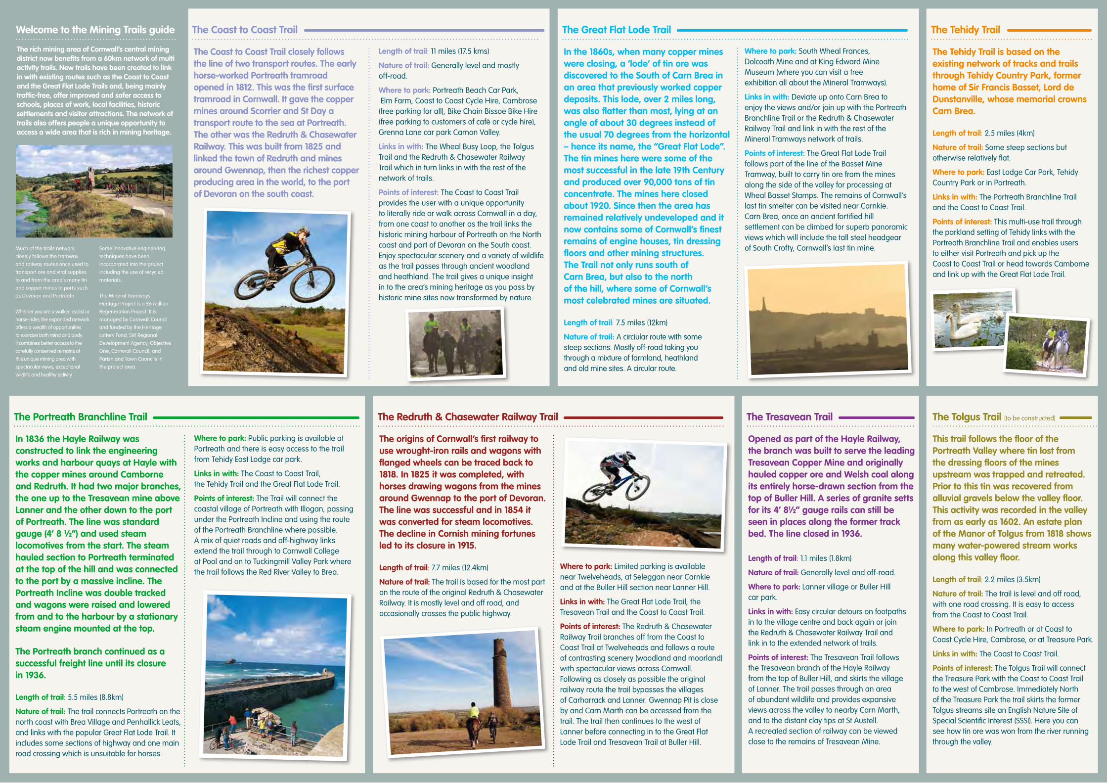
The rich mining area of Cornwall’s central mining district now benefits from a 60km network of multi activity trails. New trails have been created to link in with existing routes such as the Coast to Coast and the Great Flat Lode Trails and, being mainly traffic-free, offer improved and safer access to schools, places of work, local facilities, historic settlements and visitor attractions. The network of trails also offers people a unique opportunity to access a wide area that is rich in mining heritage.
Much of the trails network closely follows the tramway and railway routes once used to transport ore and vital supplies to and from the area’s many tin and copper mines to ports such as Devoran and Portreath.
Whether you are a walker, cyclist or horse-rider, the expanded network offers a wealth of opportunities to exercise both mind and body. It combines better access to the carefully conserved remains of this unique mining area with spectacular views, exceptional wildlife and healthy activity.
Some innovative engineering techniques have been incorporated into the project including the use of recycled materials.
The Mineral Tramways Heritage Project is a £6 million Regeneration Project. It is managed by Cornwall Council and funded by the Heritage Lottery Fund, SW Regional Development Agency, Objective One, Cornwall Council, and Parish and Town Councils in the project area.
The Coast to Coast Trail closely follows the line of two transport routes. The early horse-worked Portreath tramroad opened in 1812. This was the first surface tramroad in Cornwall. It gave the copper mines around Scorrier and St Day a transport route to the sea at Portreath. The other was the Redruth & Chasewater Railway. This was built from 1825 and linked the town of Redruth and mines around Gwennap, then the richest copper producing area in the world, to the port of Devoran on the south coast.
In 1836 the Hayle Railway was constructed to link the engineering works and harbour quays at Hayle with the copper mines around Camborne and Redruth. It had two major branches, the one up to the Tresavean mine above Lanner and the other down to the port of Portreath. The line was standard gauge (4’ 8 ½”) and used steam locomotives from the start. The steam hauled section to Portreath terminated at the top of the hill and was connected to the port by a massive incline. The Portreath Incline was double tracked and wagons were raised and lowered from and to the harbour by a stationary steam engine mounted at the top.
The Portreath branch continued as a successful freight line until its closure in 1936.
Length of trail: 5.5 miles (8.8km)
Nature of trail: The trail connects Portreath on the north coast with Brea Village and Penhallick Leats, and links with the popular Great Flat Lode Trail. It includes some sections of highway and one main road crossing which is unsuitable for horses.
In the 1860s, when many copper mines were closing, a ‘lode’ of tin ore was discovered to the South of Carn Brea in an area that previously worked copper deposits. This lode, over 2 miles long, was also flatter than most, lying at an angle of about 30 degrees instead of the usual 70 degrees from the horizontal – hence its name, the “Great Flat Lode”. The tin mines here were some of the most successful in the late 19th Century and produced over 90,000 tons of tin concentrate. The mines here closed about 1920. Since then the area has remained relatively undeveloped and it now contains some of Cornwall’s finest remains of engine houses, tin dressing floors and other mining structures. The Trail not only runs south of Carn Brea, but also to the north of the hill, where some of Cornwall’s most celebrated mines are situated.
Length of trail: 7.5 miles (12km)
Nature of trail: A circiular route with some steep sections. Mostly off-road taking you through a mixture of farmland, heathland and old mine sites. A circular route.
This trail follows the floor of the Portreath Valley where tin lost from the dressing floors of the mines upstream was trapped and retreated. Prior to this tin was recovered from alluvial gravels below the valley floor. This activity was recorded in the valley from as early as 1602. An estate plan of the Manor of Tolgus from 1818 shows many water-powered stream works along this valley floor.
Length of trail: 2.2 miles (3.5km)
Nature of trail: The trail is level and off road, with one road crossing. It is easy to access from the Coast to Coast Trail.
Where to park: In Portreath or at Coast to Coast Cycle Hire, Cambrose, or at Treasure Park.
Links in with: The Coast to Coast Trail.
Points of interest: The Tolgus Trail will connect the Treasure Park with the Coast to Coast Trail to the west of Cambrose. Immediately North of the Treasure Park the trail skirts the former Tolgus streams site an English Nature Site of Special Scientific Interest (SSSI). Here you can see how tin ore was won from the river running through the valley.
The origins of Cornwall’s first railway to use wrought-iron rails and wagons with flanged wheels can be traced back to 1818. In 1825 it was completed, with horses drawing wagons from the mines around Gwennap to the port of Devoran. The line was successful and in 1854 it was converted for steam locomotives. The decline in Cornish mining fortunes led to its closure in 1915.
Length of trail: 7.7 miles (12.4km)
Nature of trail: The trail is based for the most part on the route of the original Redruth & Chasewater Railway. It is mostly level and off road, and occasionally crosses the public highway.
Opened as part of the Hayle Railway, the branch was built to serve the leading Tresavean Copper Mine and originally hauled copper ore and Welsh coal along its entirely horse-drawn section from the top of Buller Hill. A series of granite setts for its 4’ 8½” gauge rails can still be seen in places along the former track bed. The line closed in 1936.
The Tehidy Trail is based on the existing network of tracks and trails through Tehidy Country Park, former home of Sir Francis Basset, Lord de Dunstanville, whose memorial crowns Carn Brea.
Length of trail: 2.5 miles (4km)
Nature of trail: Some steep sections but otherwise relatively flat.
Where to park: East Lodge Car Park, Tehidy Country Park or in Portreath.
Links in with: The Portreath Branchline Trail and the Coast to Coast Trail.
Points of interest: This multi-use trail through the parkland setting of Tehidy links with the Portreath Branchline Trail and enables users to either visit Portreath and pick up the Coast to Coast Trail or head towards Camborne and link up with the Great Flat Lode Trail.
Length of trail: 11 miles (17.5 kms)
Nature of trail: Generally level and mostly off-road.
Where to park: Portreath Beach Car Park, Elm Farm, Coast to Coast Cycle Hire, Cambrose (free parking for all), Bike Chain Bissoe Bike Hire (free parking to customers of café or cycle hire), Grenna Lane car park Carnon Valley.
Links in with: The Wheal Busy Loop, the Tolgus Trail and the Redruth & Chasewater Railway Trail which in turn links in with the rest of the network of trails.
Points of interest: The Coast to Coast Trail provides the user with a unique opportunity to literally ride or walk across Cornwall in a day, from one coast to another as the trail links the historic mining harbour of Portreath on the North coast and port of Devoran on the South coast. Enjoy spectacular scenery and a variety of wildlife as the trail passes through ancient woodland and heathland. The trail gives a unique insight in to the area’s mining heritage as you pass by historic mine sites now transformed by nature.
Where to park: Public parking is available at Portreath and there is easy access to the trail from Tehidy East Lodge car park.
Links in with: The Coast to Coast Trail, the Tehidy Trail and the Great Flat Lode Trail.
Points of interest: The Trail will connect the coastal village of Portreath with Illogan, passing under the Portreath Incline and using the route of the Portreath Branchline where possible. A mix of quiet roads and off-highway links extend the trail through to Cornwall College at Pool and on to Tuckingmill Valley Park where the trail follows the Red River Valley to Brea.
Where to park: South Wheal Frances, Dolcoath Mine and at King Edward Mine Museum (where you can visit a free exhibition all about the Mineral Tramways).
Links in with: Deviate up onto Carn Brea to enjoy the views and/or join up with the Portreath Branchline Trail or the Redruth & Chasewater Railway Trail and link in with the rest of the Mineral Tramways network of trails.
Points of interest: The Great Flat Lode Trail follows part of the line of the Basset Mine Tramway, built to carry tin ore from the mines along the side of the valley for processing at Wheal Basset Stamps. The remains of Cornwall’s last tin smelter can be visited near Carnkie. Carn Brea, once an ancient fortified hill settlement can be climbed for superb panoramic views which will include the tall steel headgear of South Crofty, Cornwall’s last tin mine.
Where to park: Limited parking is available near Twelveheads, at Seleggan near Carnkie and at the Buller Hill section near Lanner Hill.
Links in with: The Great Flat Lode Trail, the Tresavean Trail and the Coast to Coast Trail.
Points of interest: The Redruth & Chasewater Railway Trail branches off from the Coast to Coast Trail at Twelveheads and follows a route of contrasting scenery (woodland and moorland) with spectacular views across Cornwall. Following as closely as possible the original railway route the trail bypasses the villages of Carharrack and Lanner. Gwennap Pit is close by and Carn Marth can be accessed from the trail. The trail then continues to the west of Lanner before connecting in to the Great Flat Lode Trail and Tresavean Trail at Buller Hill.
Length of trail: 1.1 miles (1.8km)
Nature of trail: Generally level and off-road.
Where to park: Lanner village or Buller Hill car park.
Links in with: Easy circular detours on footpaths in to the village centre and back again or join the Redruth & Chasewater Railway Trail and link in to the extended network of trails.
Points of interest: The Tresavean Trail follows the Tresavean branch of the Hayle Railway from the top of Buller Hill, and skirts the village of Lanner. The trail passes through an area of abundant wildlife and provides expansive views across the valley to nearby Carn Marth, and to the distant clay tips at St Austell. A recreated section of railway can be viewed close to the remains of Tresavean Mine.