online survey plats in belmont county don pickenpaugh/dustin reed gis director/drafting tech ii...
TRANSCRIPT

Online Survey Plats in Belmont CountyOnline Survey Plats in Belmont County
Don Pickenpaugh/Dustin Reed
GIS Director/Drafting Tech II
Belmont County
2014 Ohio GIS ConferenceSeptember 22 - 24, 2014 | Hyatt Regency Columbus| Columbus, Ohio

Our Purpose Today
• Explain how survey plats are filed
• How they are made available
• ORC and OAC Minimum Standards
• Be Where Aware!
2

4733 Survey Plat Standards
• ORC 315.251(A) Minimum standards for boundary surveys
• “The survey plat and description shall satisfy the minimum standards for boundary surveys promulgated by the board of registration for professional engineers and surveyors pursuant to Chapter 4733. of the Revised Code.” 3

4733 Survey Plat Standards
• ORC 315.251(A) Minimum standards for boundary surveys
• If, in the opinion of the county engineer, the survey plat and description satisfy those standards, …a copy of the survey plat shall be filed in the county engineer's survey file for public inspection.
4
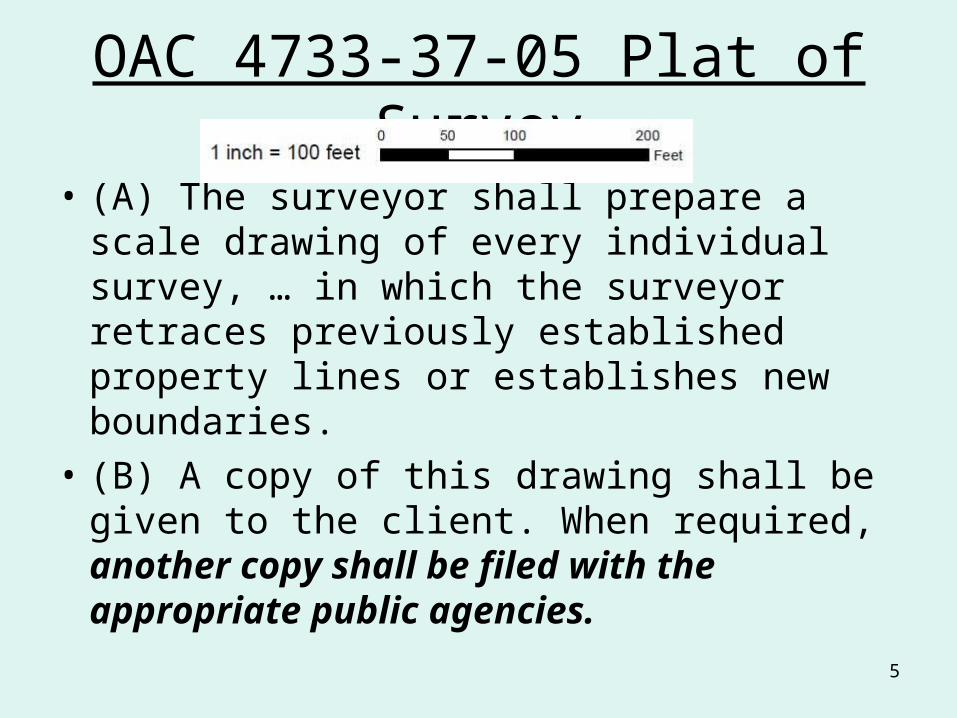
OAC 4733-37-05 Plat of Survey
• (A) The surveyor shall prepare a scale drawing of every individual survey, … in which the surveyor retraces previously established property lines or establishes new boundaries.
• (B) A copy of this drawing shall be given to the client. When required, another copy shall be filed with the appropriate public agencies.
5

Conveyance Standards SB 158
• Adopted by Bel. County Engineer and County Auditor 11/12/1996; Eff. 1/1/1997.
• All new metes and bounds descriptions shall be accompanied by a plat of survey. The plat of survey shall meet the requirements of Section 4733-37-05, Plat of Survey, of the Minimum Standards for Boundary Surveys in the State of Ohio.
6

Open Records – Sunshine Laws
My number one priority as Attorney General is to protect Ohio families. My office does this in a variety of ways. One way is making sure the public has access to information. My office fosters a spirit of open government by promoting Ohio’s Public Records Law and Open Meetings Law. Together, these laws are known as “Ohio Sunshine Laws” and are among the most comprehensive open government laws in the nation.
Mike DeWine Attorney General
7

Open Records – Sunshine Laws
• Patrick Henry:
• The liberties of a people never were, nor ever will be, secure, when the transactions of their rulers may be concealed from them . . . To cover with the veil of secrecy the common routine of business, is an abomination in the eyes of every intelligent man.
8
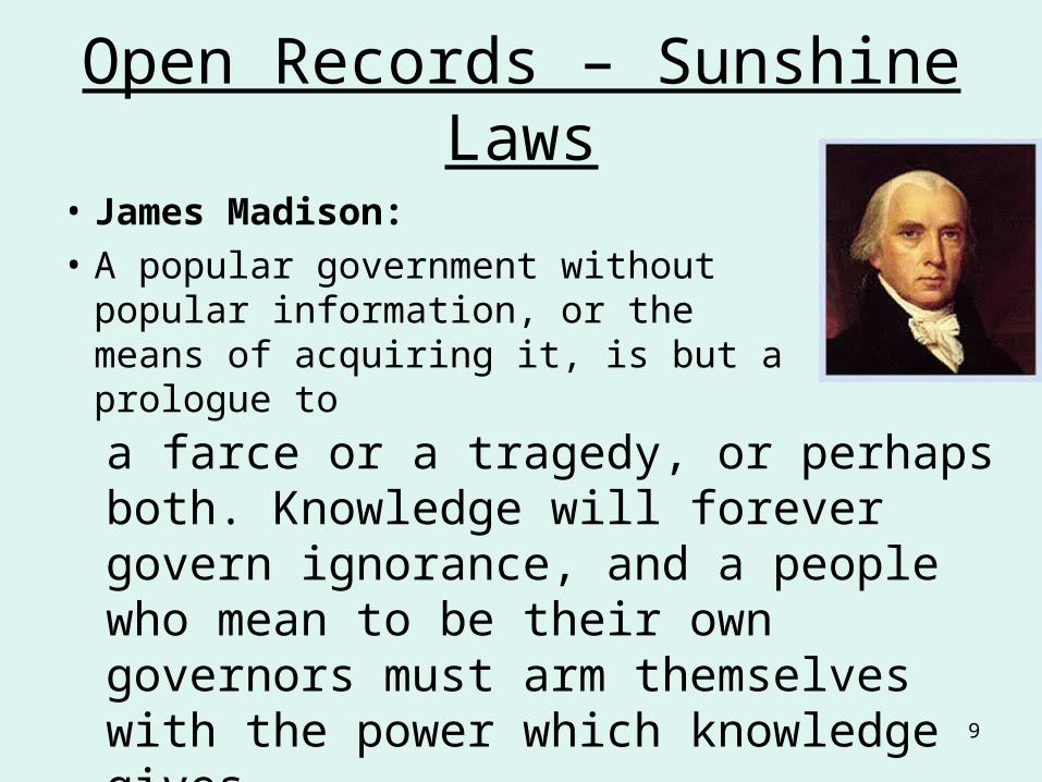
Open Records – Sunshine Laws
• James Madison:
• A popular government without popular information, or the means of acquiring it, is but a prologue toa farce or a tragedy, or perhaps both. Knowledge will forever govern ignorance, and a people who mean to be their own governors must arm themselves with the power which knowledge gives.
9

Open Records – Sunshine Laws
• Thomas Jefferson:
• Information is…
• …the currency of democracy.
• So -
• Whenever information is guarded or kept secret, our defenses should go up.
• How are survey plats kept on file and made available?
10

Traditional Filing of Surveys
• Filing Cabinets– 16 Townships– 14 Cities & Villages
• File Each Survey Plat Into Correct Folder– Separated By T-S-R & Village Sheet Number
11

• Misfiling By Lawyers, Surveyors, & Personnel
• Must Travel to Department to Access Cabinets
• Interruptions
Disadvantages
12

First Attempts at Digital
• Scanned survey plats
• Combined into pdf by section
• Replicated paper search process
• File naming inconsistent
• Ran it by PLSO Chapter
• Not acceptable
• Maps could be in wrong folder when scanned, or could be stolen and missing
13

Filing Cabinets to GIS
• Survey Plats Related Geospatially Instead of Township, Section, & Range– Unique Identifier (File Name) Created By Scanner
• Single Point Links Each Survey to its Respective Parcel or Parcels– Possibility to Locate More than One Survey
• Ability to Acquire Parcel Attributes (i.e. Parcel #, Twp, Sec, Sheet #) With GIS Software
14
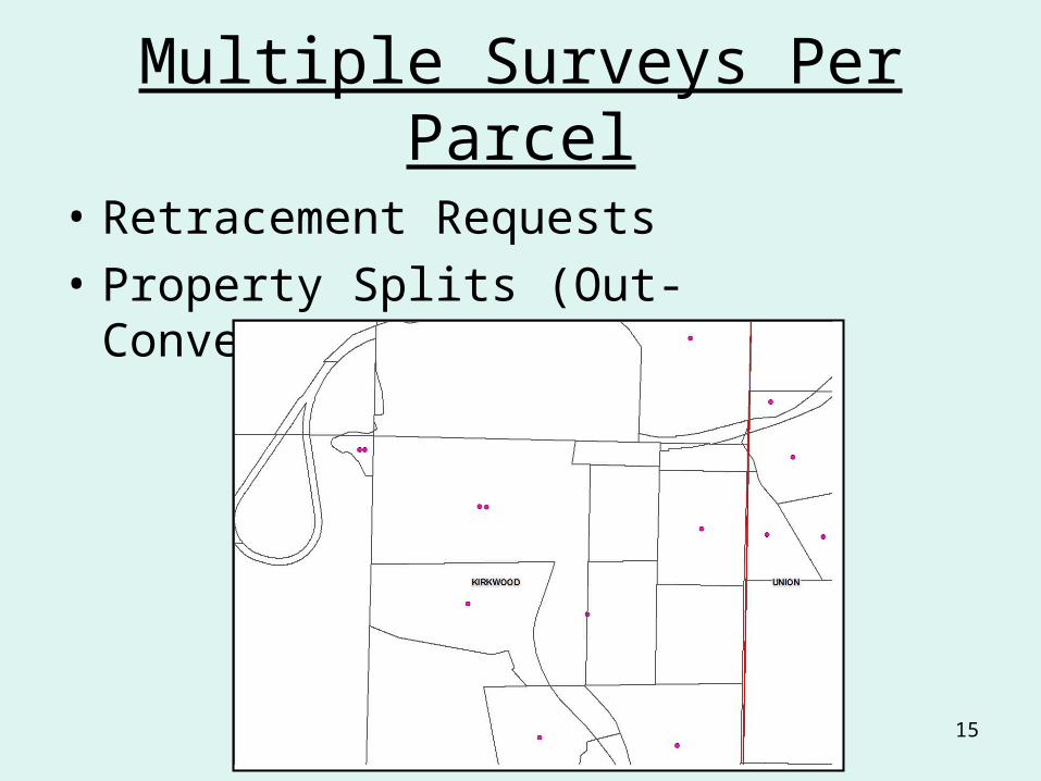
Multiple Surveys Per Parcel
• Retracement Requests
• Property Splits (Out-Conveyance)
15

Creation of Point Shapefile
• Decided not to link survey scan pdf’s to parcel numbers
• Parcels can be combined in future, PIN goes away, causing orphaned records
16

Creation of Point Shapefile
• Decided to create a point shapefile
• Point at approximate center of survey
• Fields are…
• POLSUB, C, 5
• FileName, C, 50
• Hyperlink, C 75
17

Creation of Point Shapefile
• POLSUB Values…
• First three Chars of Township, or
• First five Chars of Muni
• Gives unique values for Belmont County• COL, FLU, GOS, KIR, MEA, PEA, PUL, RIC, SMI, SOM, UNI, WAR, WAS, WAY,
WHE, YOR• BARNE, BELLA, BELM, BETHE, BRIDG, BROOK, FAIRV, FLUSH, HOLLO, MARTI,
MORRI, POWHA, SHADY, STCLA, WILSO, YORKV
• Separate subfolder for each POLSUB
18
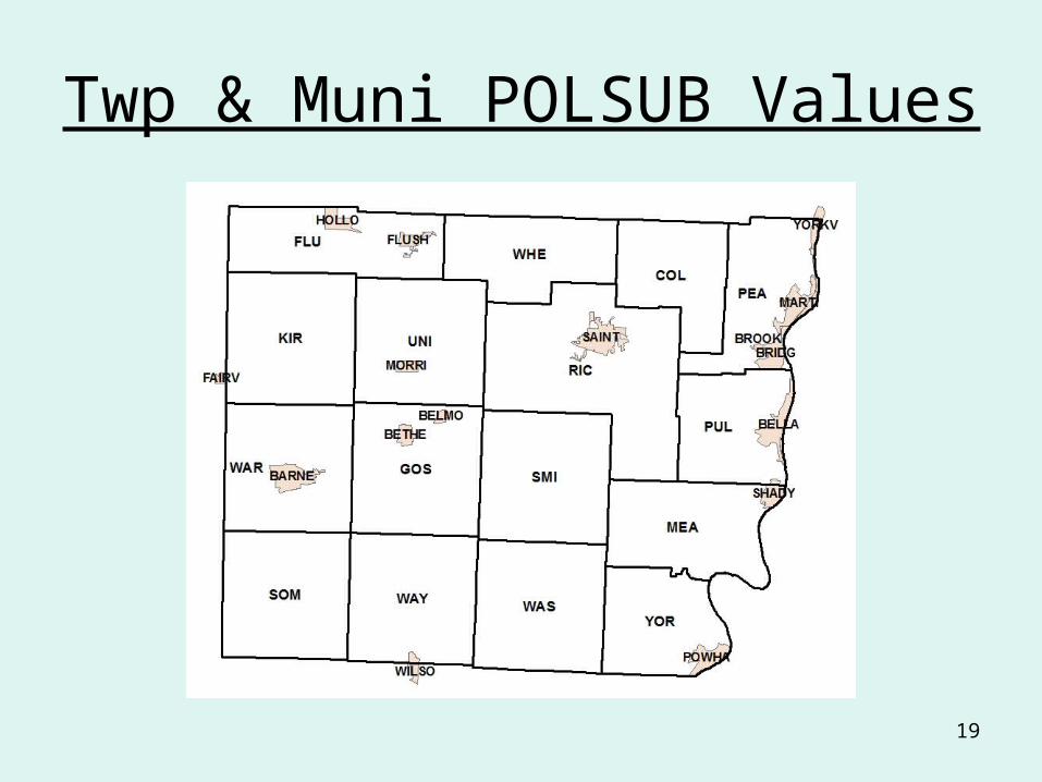
Twp & Muni POLSUB Values
19

Tax Map Sheet No’s in St C
20

Creation of Point Shapefile
• FileName generated by Scanner, e.g.,
• 01-140610-0006.pdf
• 01 for the scanner
• 14 for the year 2014
• 06 for the month
• 10 for the day
• 0006 for the nth scan of the day
21
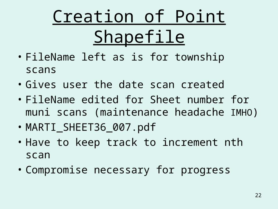
Creation of Point Shapefile
• FileName left as is for township scans
• Gives user the date scan created
• FileName edited for Sheet number for muni scans (maintenance headache IMHO)
• MARTI_SHEET36_007.pdf
• Have to keep track to increment nth scan
• Compromise necessary for progress
22

Creation of Point Shapefile
• Point added to shapefile
• Attributes for POLSUB and FileName entered
• Hyperlink field value calculated
• Formula stored in Surveys.cal• "http://www.belmontcountygis.com/surveys/"+trim( [PolSub])+"/"+trim( [FileName])+".pdf"
23

Creation of Point Shapefile
• Point shapefile uploaded to GIS server
• Available for download on Products page
• Integrated into Aerial Mapping
• Autodesk MapGuide 6.5 (Classic)
• Autodesk Infrastructure Management Server 2015 (AIMS)
24
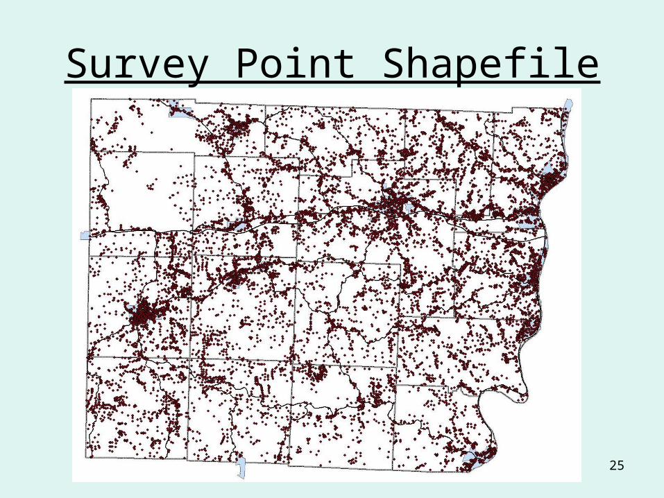
Survey Point Shapefile
25

Links on Aerial Mapping Page
26

MapGuide 6.5
27

Infrastructure Management Server 2015
28
29

Download on Products Page
30
http://www.belmontcountygis.com/

Maintenance
• New Survey Plat Scanned– Xerox 6204 Wide Format Scanner/Copier
• Point Location Created Within the Respective Parcel or Parcels
• Hyperlink Field Created Using New File• New Scan and Shapefile Provided to the GIS
Department• Test For Broken Links
– Model Builder• Upload to the Department’s Server
31

Model Builder Layout
32

Conclusion
• Positive comments from surveyors
• Positive comments from Oil & Gas
• Reduced courthouse traffic
• Improved availability to surveys
• Improved availability of about 15,000 surveys
33

Contact Info
• Belmont County GIS
• www.belmontcountygis.com
• Don Pickenpaugh [email protected]
• 740-526-9306
• Dustin Reed [email protected]
• 740-699-216034