open source 1 agse 2013 open source and the approach of osgeo franz-josef behr 19 dezember 2013 agse...
TRANSCRIPT

Op
en S
ourc
e
1
AGSE 2013
Open Source and the Approach of OSGeo
Franz-Josef Behr
19 Dezember 2013
AGSE 2013,CEPT University
Based on a presentation of Arnulf Christl, former OSGeo Presidenthttp://www.metaspatial.net

Op
en S
ourc
e
2
My personal history
Academia 12 years of (closed) GIS business
– IBM GFIS– MapInfo– Municipalitiies, utility sector
Professor Involved in some (own) open source projects
– SUAS MapServer (WMS, WFS)– opencts.org/ (see also http://geoweb.hft-stuttgart.de/)– opengeocoding.org– Initiator of FOSS4G SEA 2012– Co-organizer of FOSS4G 2013– ICA/OSGEo lab at HFT Stuttgart

Op
en S
ourc
e
3
Source
Data
Standards
Open
Source

Op
en S
ourc
e
4
Open Source developers (as well as often Closed Source Developers) use Open Source.

Op
en S
ourc
e
5
Overall Revenue in IT
Less than 10% of revenue in IT is generated through selling software
usage licenses.
(i.e. by restricting copying)
I.e. 90%: other services
Read http://arnulf.us/Cadastre for more details.

Op
en S
ourc
e
6
Open Source Business
Implementation
Maintenance
Consulting
Support
bug fixing
Training
Service Level Agreement
But: (Highly) Competitive because no Monopolies!
Maintain specific distribution
Improve Software

Op
en S
ourc
e
7
Visibility
Collaboration

Op
en S
ourc
e
8
2011 Cambridge Conference8/42
Open Source Geospatial Foundation
http://www.osgeo.org

Op
en S
ourc
e
9
The OSGeo Foundation
global non-profit organization founded in February 2006 Leading voice for
Geospatial Open Source
Similarity to the Apache Foundation, Eclipse Foundatin Volunteer based Funded by sponsorship

Op
en S
ourc
e
10
OSGeo‘s Mission
“Support and promote
the highest quality
Open Source
Geospatial Software”

Op
en S
ourc
e
11
OSGeo's Goals
Provide resources for FOSS4G projects:– Infrastructure– Legal frame– Financial support
Promote free and open spatial data Create and maintain a quality brand Create and promote free curriculua Promote and contribute to standards

Op
en S
ourc
e
12
OSGeo Activities
On a global scale:– Provide mature software solutions– Support FOSS4G, an international open source conference for
geospatial application (2013: UK, 2014: USA) Support local activities and capacities
– Local open source conference for geospatial application (i.e. FOSS4G-SEA)
– Local chapters (India, ...) Facilitate inter-project communication Build a solid market for businesses and users Interface with industry and business Support the education of domain experts not «brand-specialists» ...

Op
en S
ourc
e
13
2011 Cambridge ConferenceOSGeo - Spatially
Empowered Open Source 13/42
Formal Structure
Board of 9 Directors
and President
Local
ChaptersLocal
ChaptersLocal
Chapters
OfficersOfficers25 Officers
Local
ChaptersLocal
ChaptersFoundation
Projects
CommitteesCommittees
Committees
elected by Membership
ExecutiveDirector
91 Charter Members
Charter Members vote
appoints
represent
Sponsors

Op
en S
ourc
e
14
Software
Board of 9 Directors
and President
Local
ChaptersLocal
ChaptersLocal
Chapters
OfficersOfficers25 Officers
Local
ChaptersLocal
ChaptersFoundation
Projects
CommitteesCommittees
Committees
elected by Membership
ExecutiveDirector
91 Charter Members
Charter Members vote
appoints
represent
Sponsors

Op
en S
ourc
e
15
OSGeo Projects
deegree
UMN
MapserverMapbender
OpenLayers
MapBuilderMap Guide
OS
web mapping
GRASS
GIS
Quantum
GISOSSIM
gvSIG
desktop GIS
GeoNetwork
metadata
Project
in incubation
GEOS
FDO GDAL/OGR
GeoTools
libraries
MetaCRS PostGIS
GeoServer

Op
en S
ourc
e
16
2011 Cambridge ConferenceOSGeo - Spatially
Empowered Open Source 16/42
Committees
Board of 9 Directors
and President
Local
ChaptersLocal
ChaptersLocal
Chapters
OfficersOfficers25 Officers
Local
ChaptersLocal
ChaptersFoundation
Projects
CommitteesCommittees
Committees
elected by Membership
ExecutiveDirector
91 Charter Members
Charter Members vote
appoints
represent
Sponsors
Op
en S
ourc
e
17
2011 Cambridge ConferenceOSGeo - Spatially
Empowered Open Source 17/42
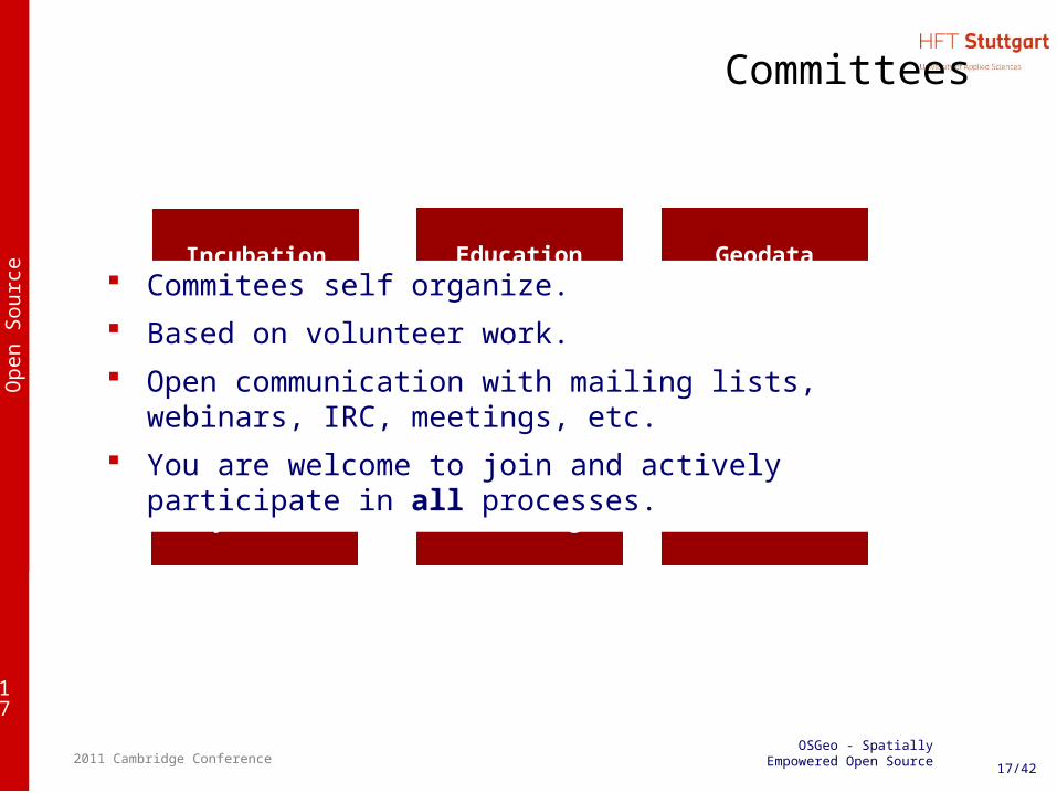
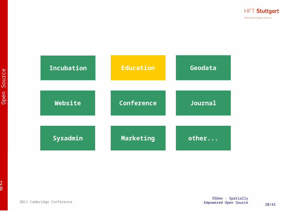
Committees
Journal
Marketing
Education Geodata
Sysadmin
Website Conference
other...
Incubation Commitees self organize. Based on volunteer work. Open communication with mailing lists, webinars, IRC, meetings,
etc. You are welcome to join and actively participate in all processes.

Op
en S
ourc
e
18
2011 Cambridge ConferenceOSGeo - Spatially
Empowered Open Source 18/42
Incubation Committee
Journal
Marketing
Education Geodata
Sysadmin
Website Conference
other...
Incubation

Op
en S
ourc
e
19
Incubation Process
Projects can apply for inspection by the OSGeo Incubation Committee. Project have to abide by OSGeo rules and satisfy a catalog of criteria
Copyright, licenses, ownership Development process quality Documentation, tutorials, support Community
OSGeo tag is a proof of quality
More details are available on the Web:
http://wiki.osgeo.org/wiki/Incubation
Op
en S
ourc
e
20
2011 Cambridge ConferenceOSGeo - Spatially
Empowered Open Source 20/42
Journal
Marketing
Education Geodata
Sysadmin
Website Conference
other...
Incubation

Op
en S
ourc
e
21
ICA & OSGeo MoU
Nuremberg, Germany - September 27, 2011
Aims: developing on a global basis collaboration opportunities for academia, industry and government organizations in open source GIS software and data
– provide expertise and support for the establishment of Open Source Geospatial Laboratories and Research Centres across the world for supporting development of open-source geospatial software technologies, training and expertise.
– to provide support for building-up and supporting development of open source GIS teaching and training materials, joint organization of open source GIS events, workshops through the ICA network for wider participation globally etc.

Op
en S
ourc
e
22
ICA/OSGeo Labs
Mission - "Making geospatial education and opportunities accessible to all“
– http://geoforall.org

Op
en S
ourc
e
23
OSGEO Live DVD
originally compiled by Cameron Shorter, and one of the coordinators of the OSGeo-Live Project.
a bootable DVD, based on the Xubuntu linux distribution, pre-installed and pre-configured with close to 50 of the best GeoSpatial Open Source applications along with sample datasets.
OSGeo-Live can also be run from a USB flash drive, installed into a Virtual Machine, or installed onto your hard drive.

Op
en S
ourc
e
24
OSGeo Live DVD
OpenStreetMap
UMN
MapServer
MapFish
web mapping
GRASS GIS
Quantum GISOSSIM
Desktop GIS
Application Server
GEOS
GDAL/OGR
GeoTools
Libraries
MetaCRS PostGIS
GeoMajas
Quantum GIS
MapServer
deegree
OpenLayers GeoServer
MapGuide OS
deegree GIS
Mapnik
Viking
KOSMO
gvSIG
SpatialLite
uDigGeopublisher
Mapbender
GeoNetwork
GeoKettle
GMT
ZOO Project
FDO
Metadata

Op
en S
ourc
e
27
Conclusions
Open Source is an inner habit and conviction.
OSGeo– supports Free and Open Source geopatial Software– An advocate to represent the interests of OS
community– is roof and umbrella for projects and communities– is a platform, to create and share software,
information and know-how

Op
en S
ourc
e
28
Open Source (and OSGeo) work because you participate in the IT process!
Participation includes
using,
learning and then
contributing back to the community.
Op
en S
ourc
e
29
Open Source in conjunction with Closed Source
Open Source makes IT a safer investment.