penwith capacity source - penzance · 118 127 116 126 119 124 131 130 129 180 121 120 134 186 216...
TRANSCRIPT

118
127
116
126
124
119131
128
130
122
129
180
120
134
121
181
182
186
123
216
214
187
125 212
133
220
135
217
215
219
218
213
East NC20
East NC16
East NC17
East NC19
East NC18
218000
218000
219000
219000
220000
220000
221000
221000
222000
222000
223000
223000
224000
224000
225000
225000
226000
226000
1030
00
1030
00
1040
00
1040
00
1050
00
1050
00
1060
00
1060
00
1070
00
1070
00
1080
00
1080
00
1090
00
1090
00
1100
00
1100
00
Based upon the Ordnance Survey Map with the permission of the Controller of Her Majesty's Stationery Office. © Crown Copyright. AL100001776
25250-S39a barkr
Cornwall Council SHLAA
Delivery Area: EastOverview Map of Bude
1:30000 @ A3
July 2010
0 500 1,000 1,500Metres
Project Path: G:/MODEL/PROJECTS/EA-210/25250/ArcGIS/Figures/Final Report Figures - July/MXD- version a/North Cornwall Capacity Source - Bude.mxd
N
Key:Capacity Source
East
West
Central
Planning PermissionExpired PermissionLocal Plan Housing AllocationLocal Plan Mixed Use AllocationArea Action Plan (AAP)Emerging LDF SiteUrban Capacity SiteCall for SitesPlanning Refusal/Withdrawal
Survey SiteEmployment Land ReviewExisting Employment Site
Surplus Public Sector Land
Delivery Area boundarySettlement boundary

131119
120
220000
220000
221000
221000
222000
222000
1030
00
1030
00
1040
00
1040
00
1050
00
1050
00
Based upon the Ordnance Survey Map with the permission of the Controller of Her Majesty's Stationery Office. © Crown Copyright. AL100001776
25250-S55 browj
Cornwall Council SHLAA
Delivery Area: EastMap: East NC16
1:10000 @ A3
May 2010
0 500Metres
Project Path:G:/MODEL/PROJECTS/EA-210/25250/Access/SHLAA Databases/East/NorthCornwall/Capacity Source Maps/North Cornwall Map 16.mxd
N
Key:
Flood Zone (3b)Ancient WoodlandArea of OutstandingNatural BeautyHistoric Park & GardenLocal Nature ReserveSACSPASSSIConservation Area
World Heritage Site
Capacity Source
Constraints
Local Plan Layers
Planning PermissionExpired PermissionLocal Plan Housing AllocationLocal Plan Mixed Use AllocationArea Action Plan (AAP)Emerging LDF SiteUrban Capacity SiteCall for SitesPlanning Refusal/Withdrawal
Survey SiteEmployment Land ReviewExisting Employment Site
Surplus Public Sector Land
Listed BuildingScheduled Ancient Monument
A RoadB Road
Settlement boundaryDelivery Area boundary
Flood Zone (2 and 3a)

118
127
116
126
119
124
131
130
129
180
121
120
134
186
216
214
125
133
220
135
217
215
219
218
220000
220000
221000
221000
222000
222000
1050
00
1050
00
1060
00
1060
00
1070
00
1070
00
Based upon the Ordnance Survey Map with the permission of the Controller of Her Majesty's Stationery Office. © Crown Copyright. AL100001776
25250-S56a browj
Cornwall Council SHLAA
Delivery Area: EastMap: East NC17
1:10000 @ A3
July 2010
0 500Metres
Project Path:G:\MODEL\PROJECTS\EA-210\25250\ArcGIS\Figures\Final Report Figures - July\MXD- version a\North Cornwall Map 17.mxd
N
Key:
Flood Zone (3b)Ancient WoodlandArea of OutstandingNatural BeautyHistoric Park & GardenLocal Nature ReserveSACSPASSSIConservation Area
World Heritage Site
Capacity Source
Constraints
Local Plan Layers
Planning PermissionExpired PermissionLocal Plan Housing AllocationLocal Plan Mixed Use AllocationArea Action Plan (AAP)Emerging LDF SiteUrban Capacity SiteCall for SitesPlanning Refusal/Withdrawal
Survey SiteEmployment Land ReviewExisting Employment Site
Surplus Public Sector Land
Listed BuildingScheduled Ancient Monument
A RoadB Road
Settlement boundaryDelivery Area boundary
Flood Zone (2 and 3a)

127
118
128
129
116
181
182
212
187
213
223000
223000
224000
224000
225000
225000
1050
00
1050
00
1060
00
1060
00
1070
00
1070
00
Based upon the Ordnance Survey Map with the permission of the Controller of Her Majesty's Stationery Office. © Crown Copyright. AL100001776
25250-S57 browj
Cornwall Council SHLAA
Delivery Area: EastMap: East NC18
1:10000 @ A3
May 2010
0 500Metres
Project Path:G:/MODEL/PROJECTS/EA-210/25250/Access/SHLAA Databases/East/NorthCornwall/Capacity Source Maps/North Cornwall Map 18.mxd
N
Key:
Flood Zone (3b)Ancient WoodlandArea of OutstandingNatural BeautyHistoric Park & GardenLocal Nature ReserveSACSPASSSIConservation Area
World Heritage Site
Settlement boundary
Capacity Source
Constraints
Local Plan Layers
Planning PermissionExpired PermissionLocal Plan Housing AllocationLocal Plan Mixed Use AllocationArea Action Plan (AAP)Emerging LDF SiteUrban Capacity SiteCall for SitesPlanning Refusal/Withdrawal
Survey SiteEmployment Land ReviewExisting Employment Site
A RoadB Road
Surplus Public Sector Land
Listed BuildingScheduled Ancient Monument
Flood Zone (2 and 3a)

124
134
122
123
214
133
220000
220000
221000
221000
222000
222000
1080
00
1080
00
1090
00
1090
00
1100
00
1100
00
Based upon the Ordnance Survey Map with the permission of the Controller of Her Majesty's Stationery Office. © Crown Copyright. AL100001776
25250-S58 browj
Cornwall Council SHLAA
Delivery Area: EastMap: East NC19
1:10000 @ A3
May 2010
0 500Metres
Project Path:G:/MODEL/PROJECTS/EA-210/25250/Access/SHLAA Databases/East/NorthCornwall/Capacity Source Maps/North Cornwall Map 19.mxd
N
Key:
Flood Zone (3b)Ancient WoodlandArea of OutstandingNatural BeautyHistoric Park & GardenLocal Nature ReserveSACSPASSSIConservation Area
World Heritage Site
Capacity Source
Constraints
Local Plan Layers
Planning PermissionExpired PermissionLocal Plan Housing AllocationLocal Plan Mixed Use AllocationArea Action Plan (AAP)Emerging LDF SiteUrban Capacity SiteCall for SitesPlanning Refusal/Withdrawal
Survey SiteEmployment Land ReviewExisting Employment Site
Surplus Public Sector Land
Listed BuildingScheduled Ancient Monument
A RoadB Road
Settlement boundaryDelivery Area boundary
Flood Zone (2 and 3a)
122
123
223000
223000
224000
224000
225000
225000
1080
00
1080
00
1090
00
1090
00
1100
00
1100
00
Based upon the Ordnance Survey Map with the permission of the Controller of Her Majesty's Stationery Office. © Crown Copyright. AL100001776
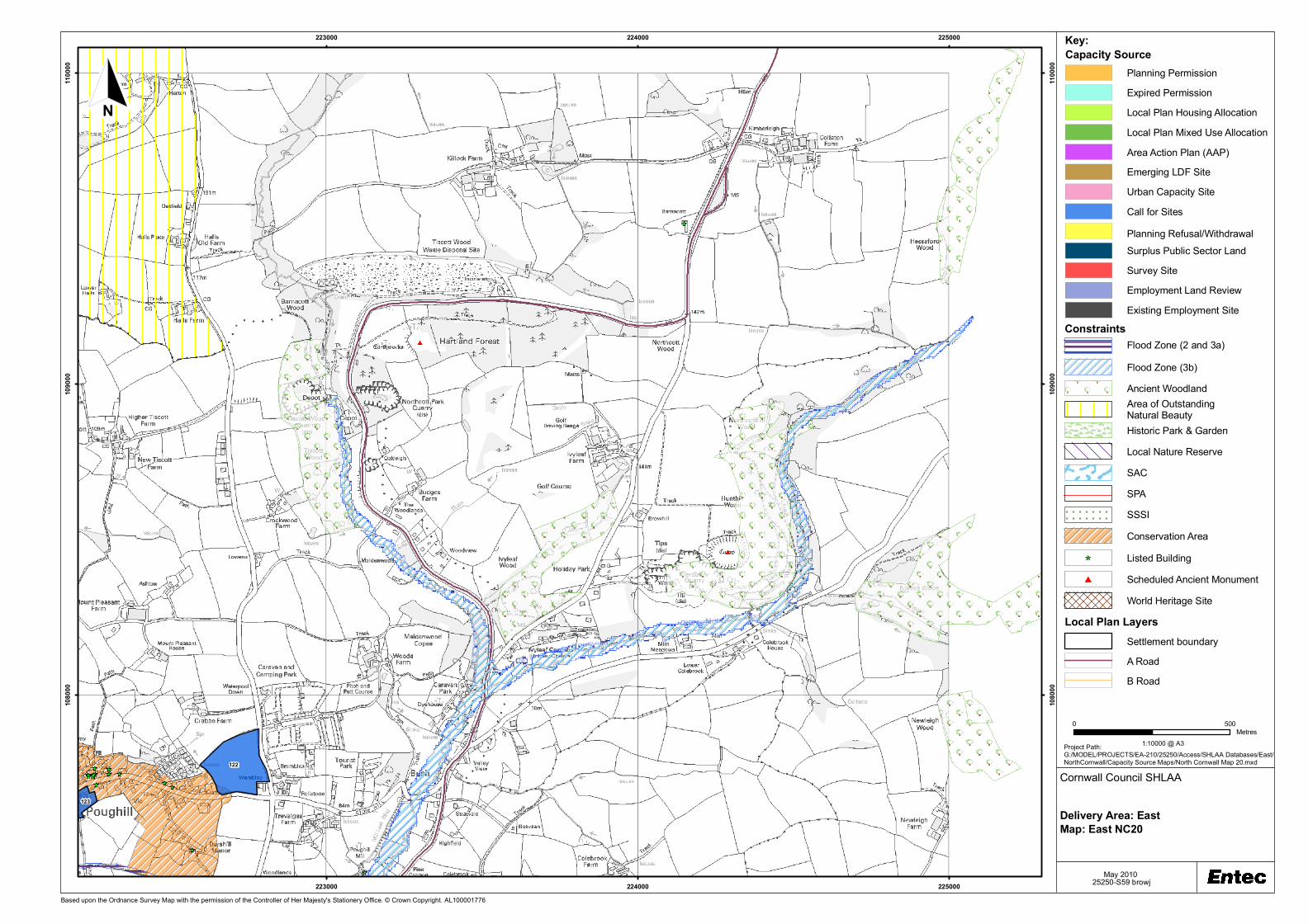
25250-S59 browj
Cornwall Council SHLAA
Delivery Area: EastMap: East NC20
1:10000 @ A3
May 2010
0 500Metres
Project Path:G:/MODEL/PROJECTS/EA-210/25250/Access/SHLAA Databases/East/NorthCornwall/Capacity Source Maps/North Cornwall Map 20.mxd
N
Key:
Flood Zone (3b)Ancient WoodlandArea of OutstandingNatural BeautyHistoric Park & GardenLocal Nature ReserveSACSPASSSIConservation Area
World Heritage Site
Settlement boundary
Capacity Source
Constraints
Local Plan Layers
Planning PermissionExpired PermissionLocal Plan Housing AllocationLocal Plan Mixed Use AllocationArea Action Plan (AAP)Emerging LDF SiteUrban Capacity SiteCall for SitesPlanning Refusal/Withdrawal
Survey SiteEmployment Land ReviewExisting Employment Site
A RoadB Road
Surplus Public Sector Land
Listed BuildingScheduled Ancient Monument
Flood Zone (2 and 3a)